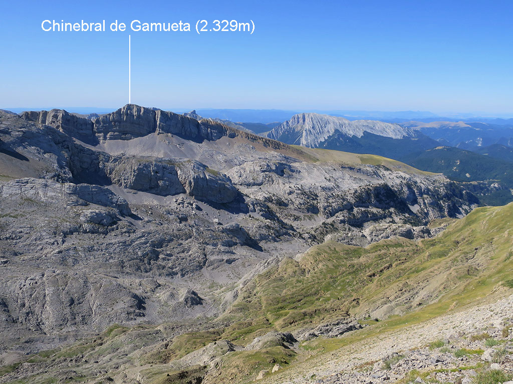
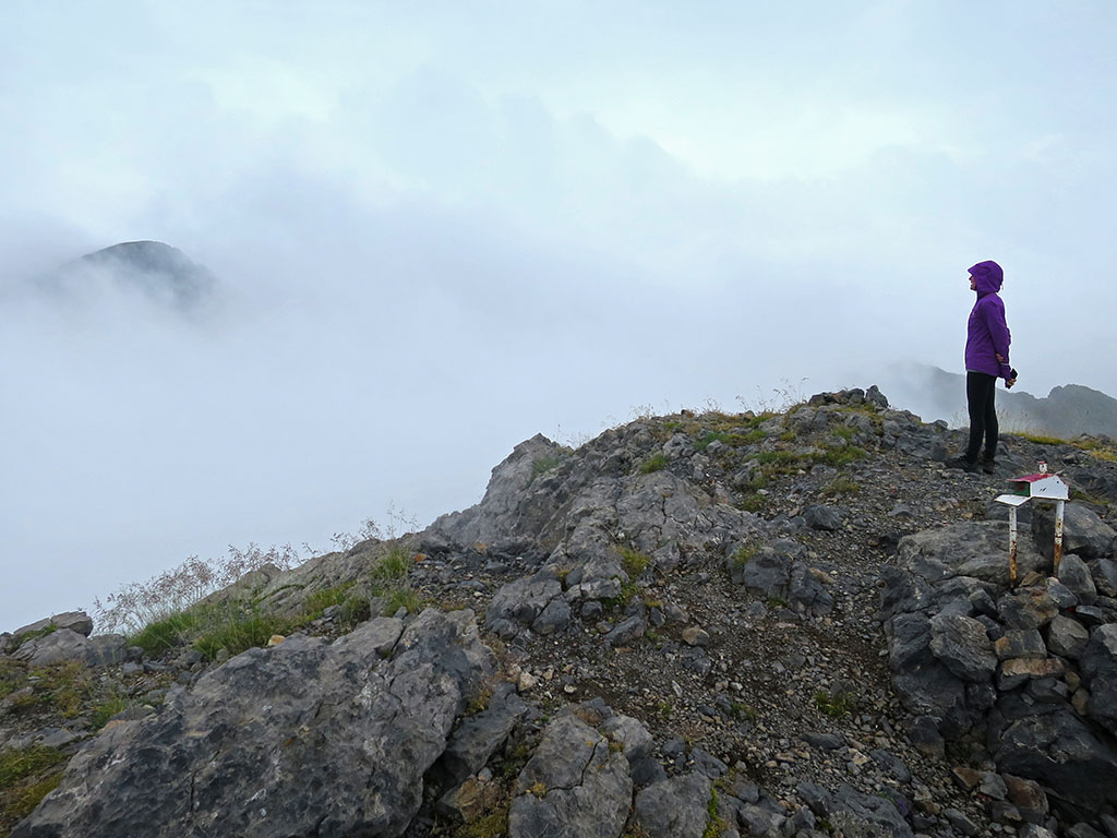
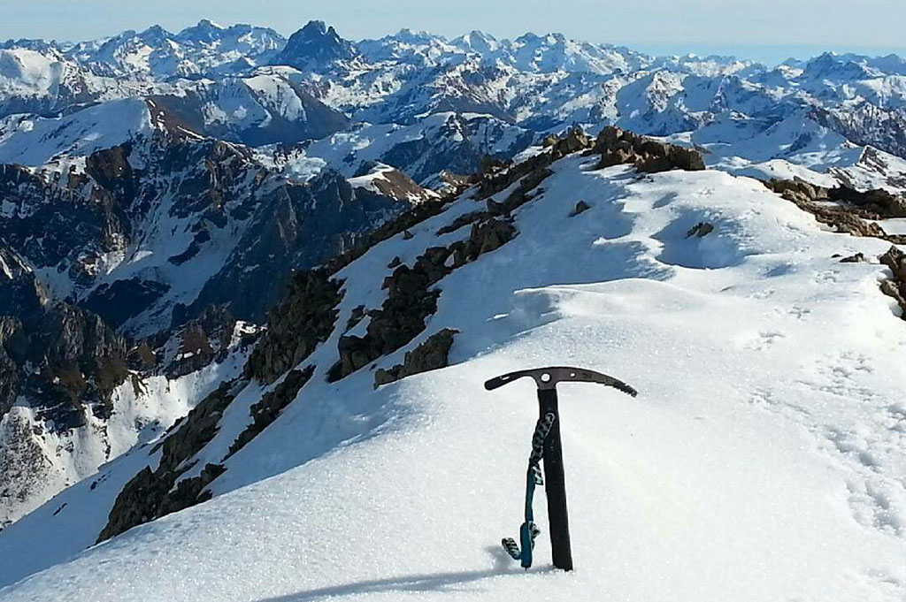
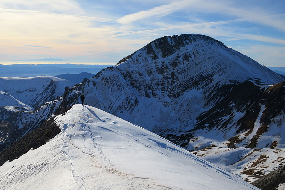
Chinebral de Gamueta (2.329m) desde Linza.
Pirineos y montaña 📩
Aquí 🔥Desde el refugio de Linza, situado en el Parque Natural de los Valles Occidentales, en el Pirineo Aragonés, pueden realizarse un buen número de excursiones ideales para iniciarse con los dosmiles pirenaicos. Entre ellos, uno de los más asequibles es este, el Chinebral de Gamueta.
La ruta de ida y vuelta por el mismo camino, pasando por el Paso del Caballo y el Paso del Oso, es perfecta para un primer contacto con los Pirineos. Para el descenso sin embargo, se propone una alternativa de mayor dificultad, algo más larga y con algunos tramos por pedreras y fuera de sendero.
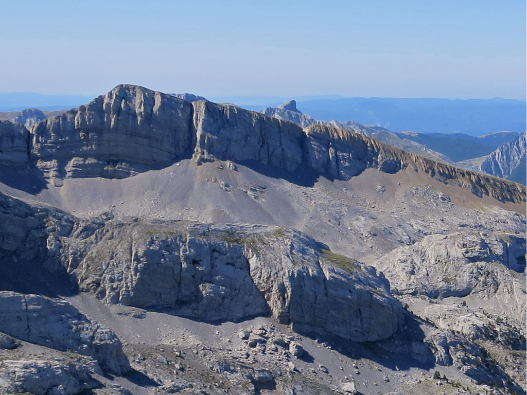
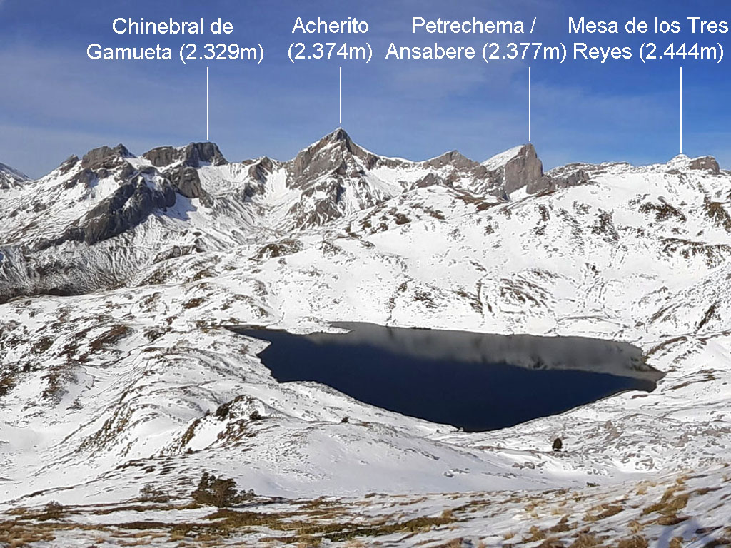
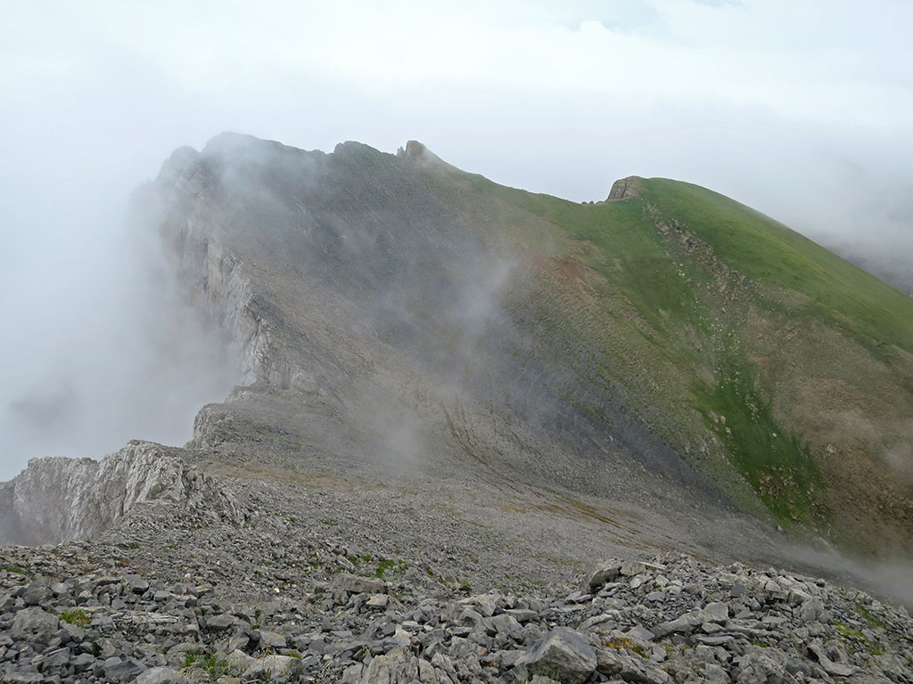
El Chinebral de Gamueta (2.329m) tiene dos vertientes claramente diferenciadas, la vertiente Oeste, que se caracteriza por una alargada loma, después cresta, que separa los barrancos de Petrechema y Gamueta; y la vertiente de Este, hacia la que muestra una barrera rocosa sin debilidades.
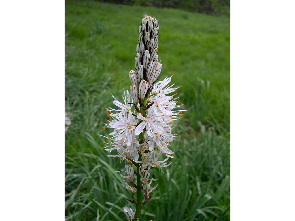
El significado de Chinebral de Gamueta parece estar asociado a la presencia de dos especies vegetales, los enebros (chinebros) y los gamones (asfódelos).
INDICE
Resumen de la ruta:
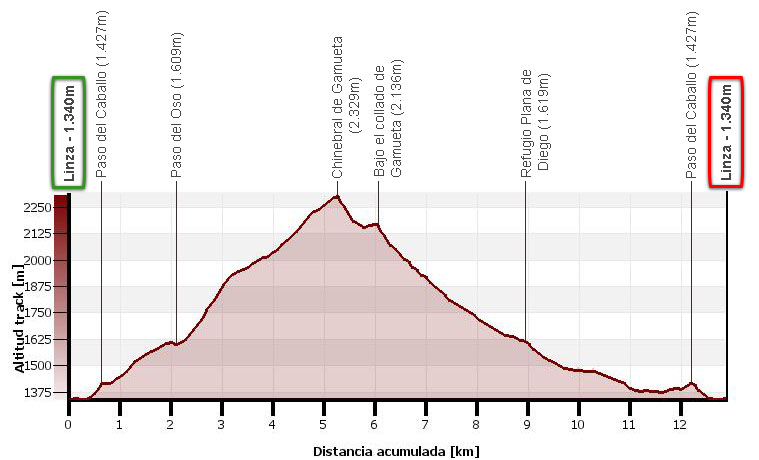
Ruta circular, sin grandes complicaciones, que puede realizarse en media jornada si se sale pronto. Para el ascenso, se sigue el itinerario habitual desde el refugio de Linza pasando por el Paso del Caballo, el Paso del Oso y la loma cimera, después cresta, hasta el Chinebral de Gamueta (2.329m). Para el descenso sin embargo, bajaremos hacia el collado de Gamueta, a través de un terreno complicado y sin sendero en algunas partespara continuar por las Foyas de Gamueta, la Plana de Diego y regresar nuevamente a Linza por el Paso del Caballo.
Mapa
Descargables:
> Descargar Track
> Descargar pdf (versión móvil)
Cómo llegar:
Ver en Google Maps.
Para llegar al refugio de Linza, lo más habitual será venir desde la autovía Pamplona-Jaca.
Si se viene de Pamplona, el punto de referencia es Isaba, hasta donde llegaremos por la NA-137, bien por Lumbier y el Puerto de las Coronas, o más adelante por Sigües y Salvatierra de Esca. Poco después de pasar Isaba (4kms), una carretera a mano derecha indica el cruce a Ansó y Zuriza (12kms). En Zuriza se enlaza con la carretera de Ansó y que siguiendo a mano izquierda, nos lleva en 5 kilómetros al refugio de Linza. En total 19kms desde Isaba o 115kms desde Pamplona.
Si se viene de Jaca, el punto de referencia es Ansó, hasta donde llegaremos desde Puente la Reina de Jaca por la A-176, o desde Berdún por la A-1602. Después de Ansó la carretera se estrecha y hay que ir despacio. Ya en Zuriza, se enlaza con el otro itinerario por el que continuamos hasta Linza. En total 19kms desde Ansó o 74kms desde Jaca.
Ficha técnica:
Distancia: 12,9kms.
Desnivel acumulado: 1.100m.
Horario: unas 5 horas y media o 6 horas. Tiempo de marcha sin paradas: 5h15min.
Agua: al final de la bajada hay un riachuelo pero ninguna fuente.
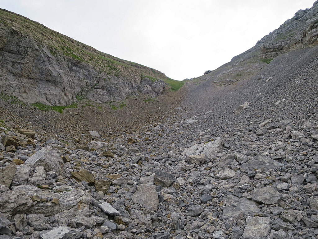
Dificultad: la subida es sencilla, ideal para iniciarse con un dosmil en los Pirineos. La bajada en cambio es algo más complicada, prácticamente sin senda y por pedreras inestables hasta las proximidades del collado de Gamueta.
Itinerario:
La primera parte de esta ruta es común a la del Acherito.
(0h00min; 0,0kms) Plano de la Casa / Refugio de Linza (1.340m). Tomando como punto de partida el final del aparcamiento, nos dirigiremos al Paso del Caballo, la brecha que puede verse al sur. Para ello, descenderemos siguiendo un sendero hasta un pequeño puente por el que cruzaremos el riachuelo y que continuará ascendiendo hacia la derecha. La senda, marcada en verde y amarillo (Senda Camille), se empina en la parte final para ganar entre rocas el…
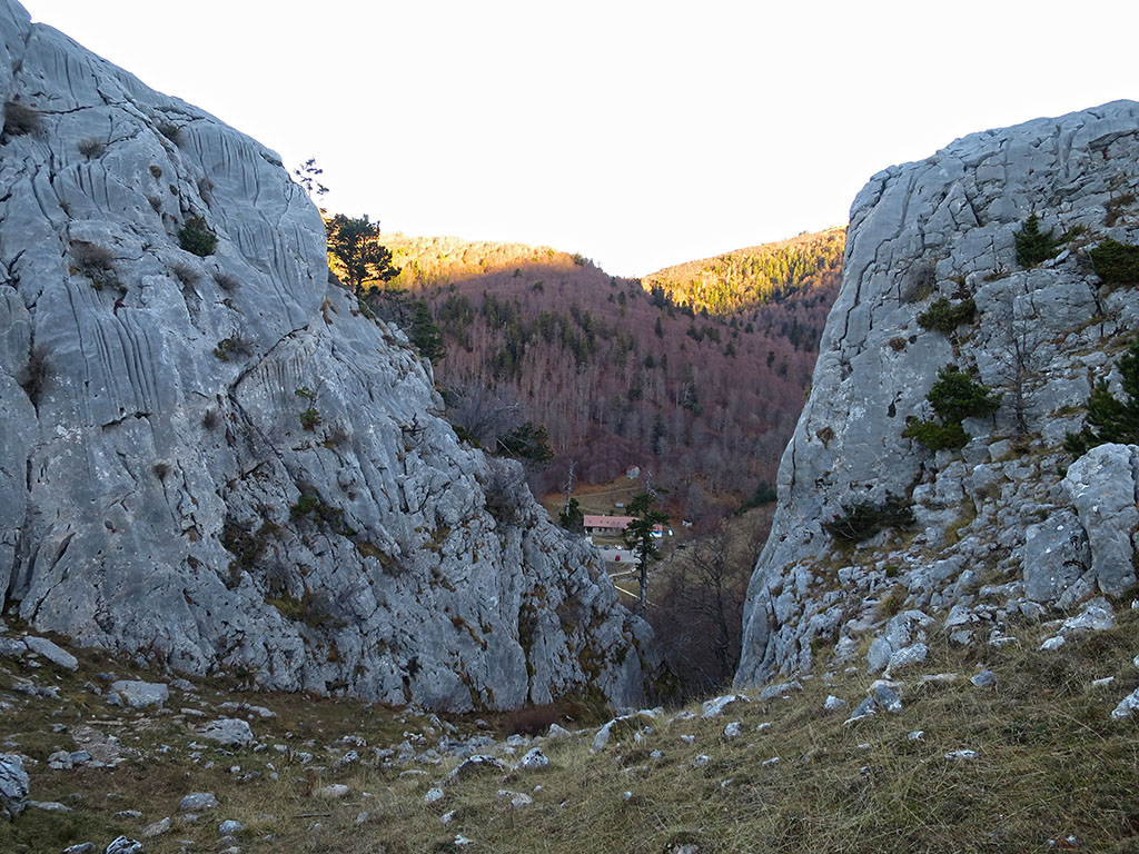
(0h15min; 0,7kms) Paso del Caballo (1.427m).
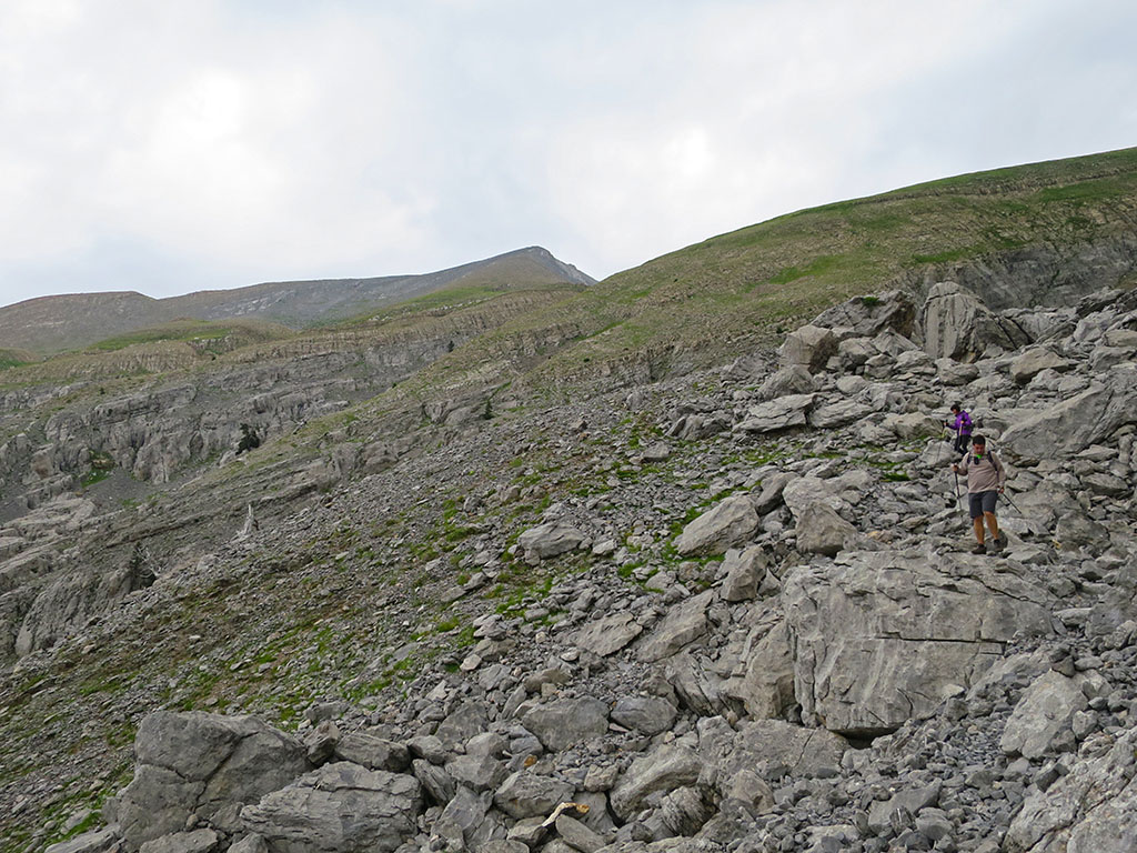
Poco después de atravesar la brecha, abandonaremos la Senda Camille que desciende hacia el bosque de Gamueta (camino de vuelta). Seguiremos a la izquierda (un letrero indica Chinebral y Plana de Diego), pasando bajo el farallón rocoso, por una senda que asciende entre el hayedo.

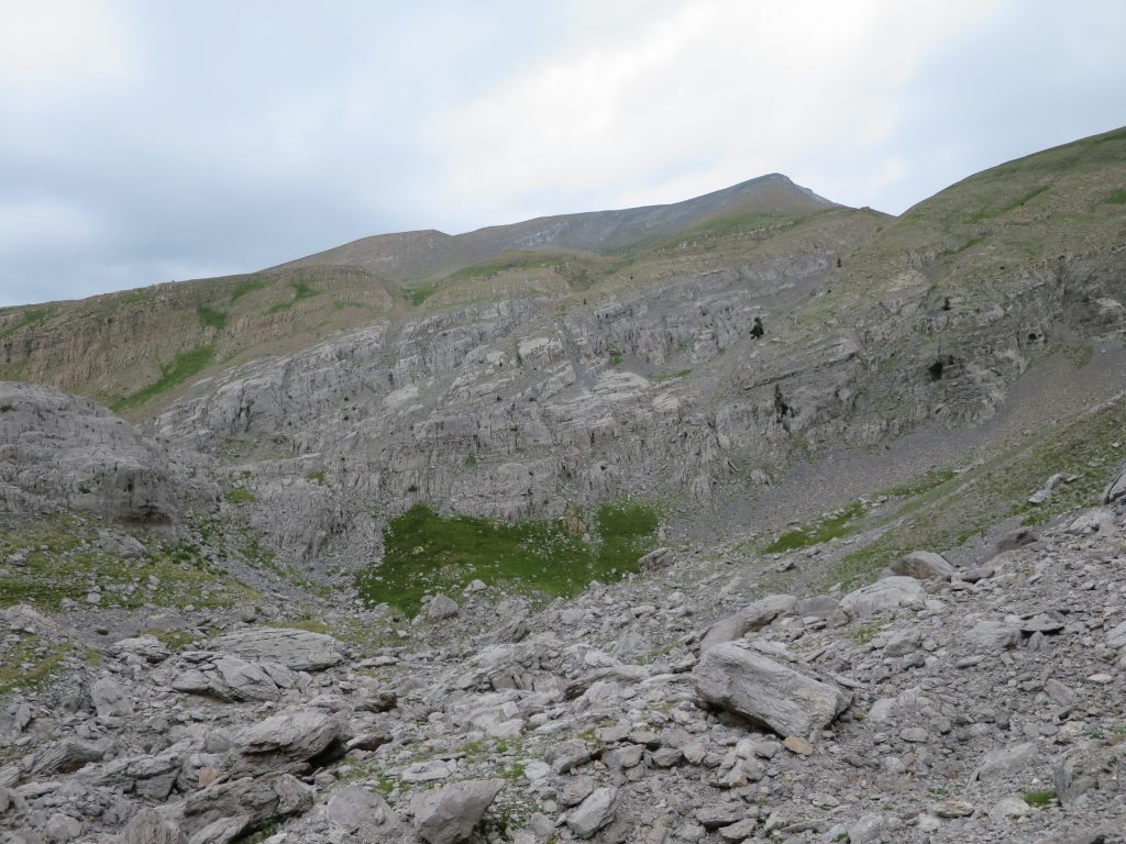
(0h50min; 2,2kms) Paso del Oso (1.609m). Junto al collado, abajo a mano derecha, queda un pequeño refugio de chapa que puede servir en caso de mal tiempo.
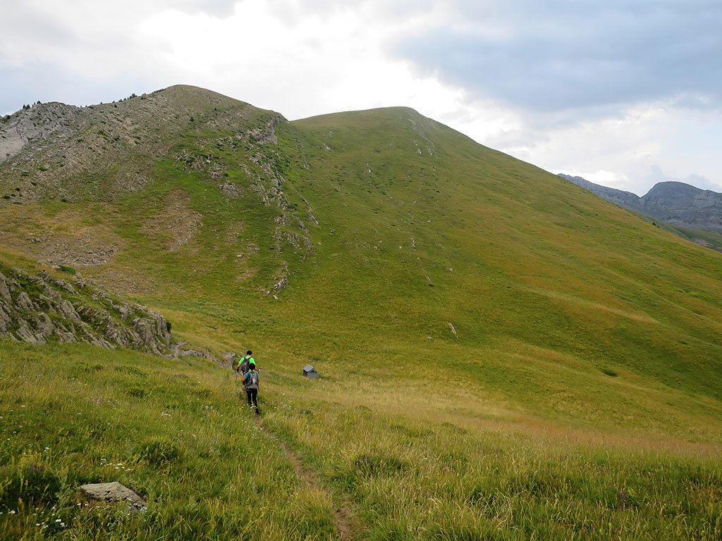
Siguiendo por la cresta discurre el sendero al Acherito, y de frente por la ladera derecha, la senda al Chinebral de Gamueta. El sendero se empina por momentos hasta alcanzar la herbosa loma cimera, donde la pendiente disminuye.
Recorremos la loma por trazas de senda, hasta una especie de antecima previa a una brecha, a partir de la cual, se estrecha formando una bonita cresta por la que llegamos a la cima.
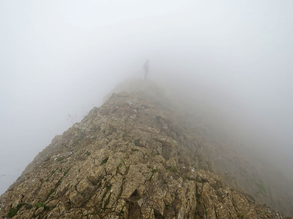
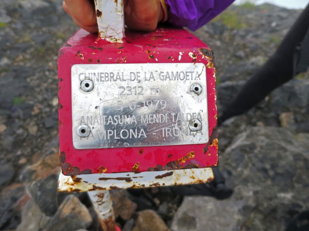
(2h30min; 5,2kms) Chinebral de Gamueta (2.329m).
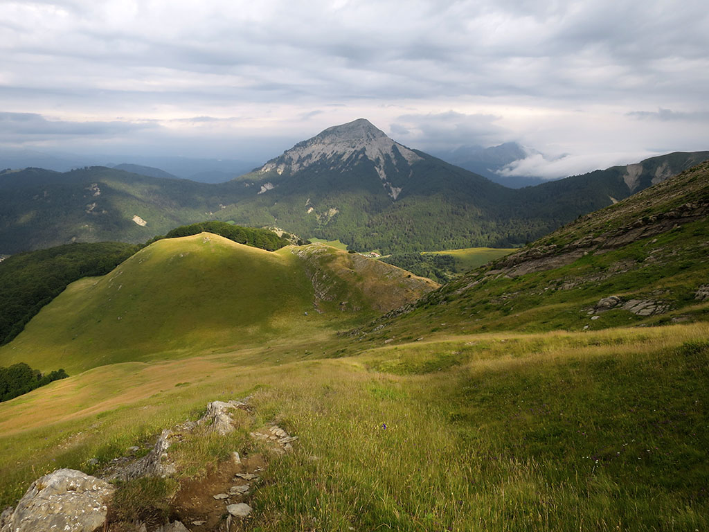
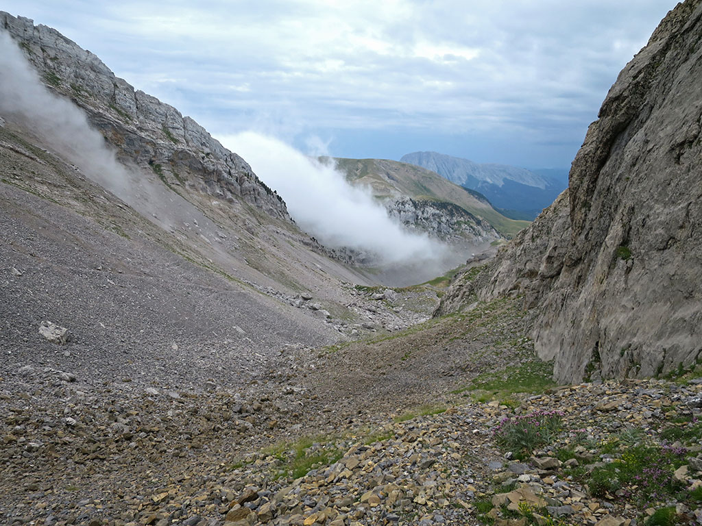
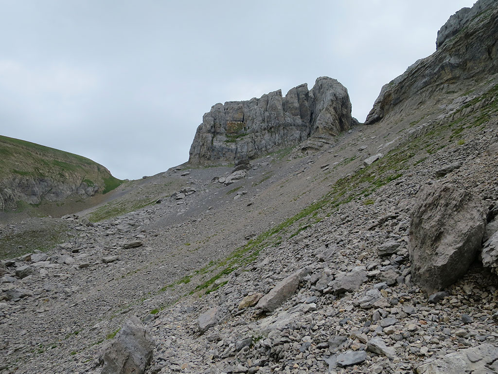
Para bajar a la Plana de Diego y las Foyas de Gamueta, una alternativa es bajar directamente y atravesar el karst. La opción preferida para bajar con esquís cuando un grueso manto de nieve cubre todas las grietas. Otra opción, la que describimos, consiste en acercarse al collado de Gamueta. Para ello, perderemos algo de altura para después continuar a media ladera, salvando una pequeña barrera de rocas casi al final.

También se puede llegar hasta aquí cresteando, subiendo a la Foya de Gamueta (2.308m) y la Gorreta de los Gabachos Norte (2.270m).
(3h10min; 6,1kms) Bajo el collado de Gamueta (2.136m). Aunque el sendero está borrado al principio, este aparece en la margen izquierda nada más atravesar la pedrera inicial. También se puede bajar sin problema por la derecha y cruzar a la izquierda más abajo.
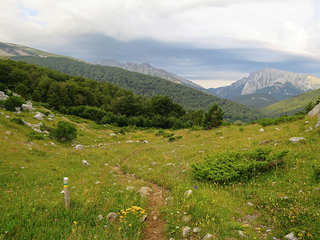
La senda desciende de forma clara hacia las Foyas de Gamueta, donde nos reencontramos con la señalización amarilla y verde de la Senda Camille.
Más abajo, en la Plana de Diego, localizamos un pequeño refugio que dejamos arriba a mano izquierda.
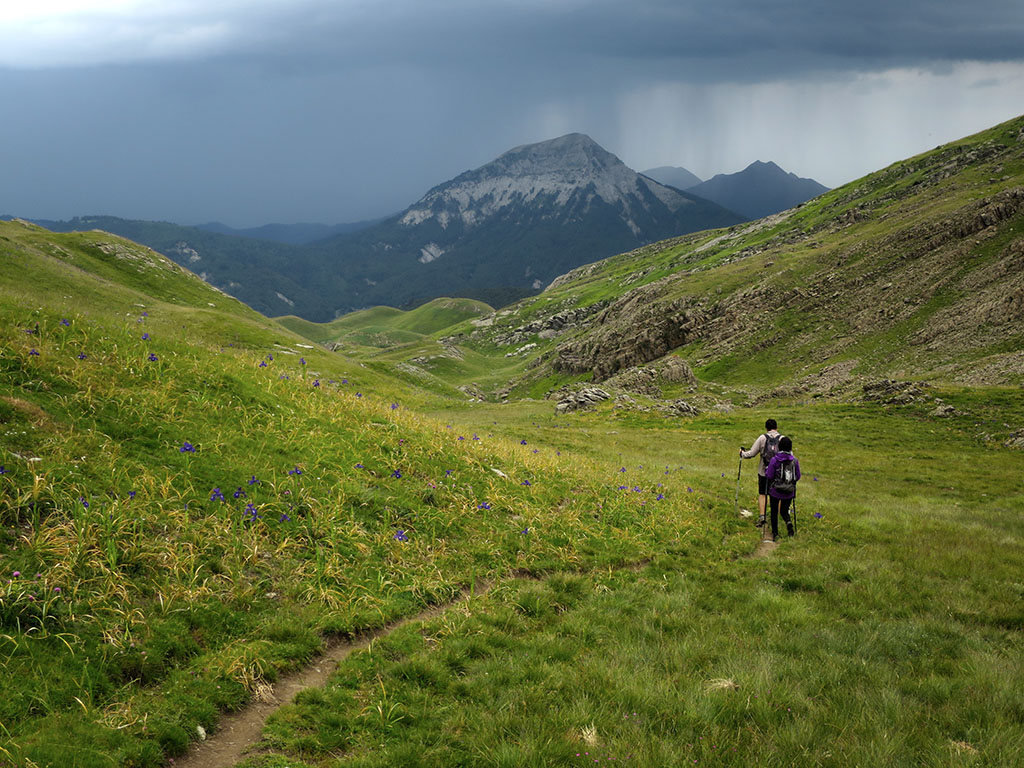
(4h10min; 8,9kms) Refugio Plana de Diego (1.619m). El sendero es claro y un rato después aparecen los primeros árboles. Casi al final del valle, cuando ya se intuye la cercanía de la carretera entre Zuriza y Linza, las marcas verdes y amarillas giran a la derecha para alcanzar nuevamente el…
(5h00min; 12,2kms) Paso del Caballo (1.427m). Siguiendo el mismo itinerario que al principio del día regresamos al punto de inicio.
(5h15min; 12,9kms) Refugio de Linza (1.340m).
Mapas / Libros:
- Editorial: Editorial Alpina, S.L
- Escala: 1:25.000
- ISBN-10 : 8480908319
- ISBN-13 : 978-8480908313
- Publicación: 2020
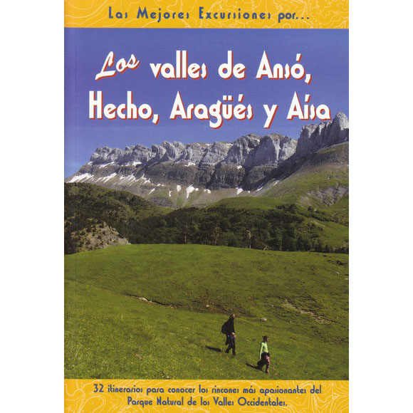
Los valles de Ansó, Hecho, Aragües y Aísa.
- Editorial: El Senderista
- Idioma: español
- Nº páginas: 222
- ISBN-10 : 8495368498
- ISBN-13 : 978-8495368492
- Publicación: 2009
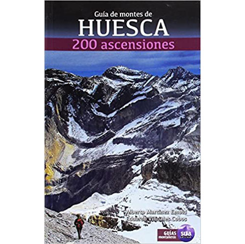
- Editorial: Sua edizioak
- Idioma: español
- Nº páginas: 480
- ISBN-10 : 8482165607
- ISBN-13 : 978-8482165608
- Publicación: 2016
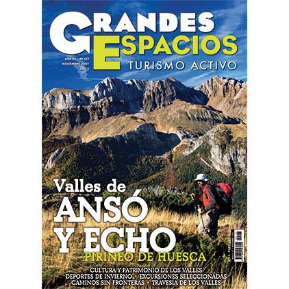
- Editorial: Ediciones Desnivel S.L
- Idioma: Español
- Nº páginas: 92
- Publicación: noviembre 2007
CERCA DE AQUÍ TE PUEDE INTERESAR
Circular al pico de Acherito desde el refugio de Linza. Subida por el Paso del Caballo, el Paso del Oso y el collado del Huerto y bajada por las Foyas del Ingeniero y el barranco de Petrechema.
El Pico de Secús es una de esas cumbres para los que buscan soledad. Su cima es aislada, diferenciada del resto…