Green routes and nature tourism in Vitoria-Gasteiz
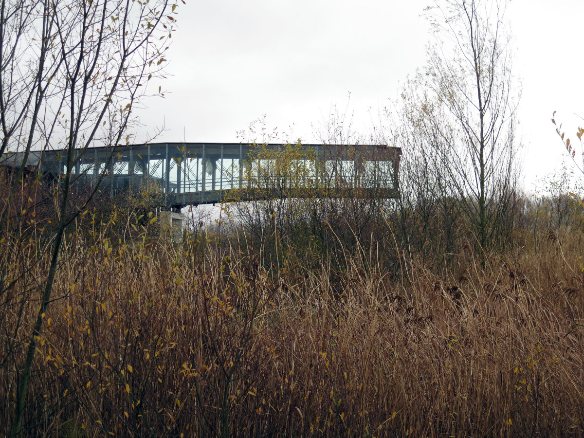
Looking out over the Salburua reservoir and the reeds that surround the wetland, you realise that you are in the city itself. "And this here?", you ask yourself. Salburua is one of the natural ecosystems that make up the green ring of Vitoria-Gasteiz; the nature that embraces the city and gives it oxygen as if it were a green lung. Vitoria-Gasteiz is one of the greenest cities in Europethe Green CapitalThe medieval Old Town, with a totally pedestrianised and historical Old Town, is surrounded by a natural environment that brings it to life, and offers endless possibilities for the visitor who is eager for adventure in the outdoor. Not forgetting the surroundings of the Llanada Alavesa, where the city is located, when the slopes slope up towards the Vitoria Mountains, the summit of Gorbeia, the Entzia mountain range or the Aizkorri, and which represent a spectacular playground for those looking for more demanding outdoor activities.
When in 2012 Vitoria became a green capitalEurope -in 2019 it was joined by the '.global green cityThese were the culmination of more than thirty years of initiatives and projects, of respect for and commitment to the environment and sustainable development policies. Vitoria-Gasteiz is a model of a green city, and this is enjoyed every day by its residents and visitors who come attracted by its historical, cultural and gastronomic offer as well as by the natural treasures of the green capital and its surroundings. You can discover the natural jewels of the urban fabric at the stroke of a pedal.
The city is located in a privileged environmental setting. And they know that in VG SportWe try to promote the destination of Alava as an ideal playground for outdoor and nature activities, pivoting from the capital, promoting the economic activity of companies and generating new opportunities for them", Gustavo Alegria tells us how the association brings together tourism companies in all its facets. "Why shouldn't the bus company that transports bicycles on the Vasco-Navarro greenway, or the catering company that prepares lunches or the company that specialises in preparing outdoor coffee, all have a place here? The natural enclaves emerge from the city itself, and favour enjoyment thanks to an endless number of activities and experiences in the great outdoors. As the bird watching -birding- in the urban parks of Florida or San Juan de Arriaga, or in periurban parks such as the Salburua lagoons. You can start at the Salburua Wetlands Interpretation Centre, Ataria, and visit the lagoons surrounded by wet meadows, poplar groves and a small oak grove, where you can see water birds all year round. In addition, Vitoria-Gazteiz has a extensive network of cycle paths -bidegorris- of more than 135km, which is complemented by the Green Ring This is a perimeter route that allows you to go around the city in total enjoyment for lovers of two wheels, with very interesting alternatives for the whole family with the youngest members of the family. The most demanding riders can tackle the Great Route which runs through the Llanada Alavesa, linking up with other routes such as the Basque-Navarre route, the route around the Ullibarri reservoir and the Pilgrims' Route to Santiago de Compostela. And if water sports are your thing, kayaking, windsurfing, windsurfing, canoeing, kayaking, windsurfing, kayaking, windsurfing, canoeing, windsurfing and more. Ullíbarri-Gamboa reservoir 25 minutes from the city will be an obligatory stop. You can also take hot-air balloon or paragliding flights, go to the natural forest of Armentia - in the green ring itself - and take a refreshing walk that ends with a yoga session. And if you're more of a walker and want to practise hiking or Nordic walkingThe Green Belt has more than 90 km of paths, with the Olarizu grassy fields and the Botanical Garden, the Salburua Wetlands and the Armentia forest.
Green Belt: a natural embrace of the city
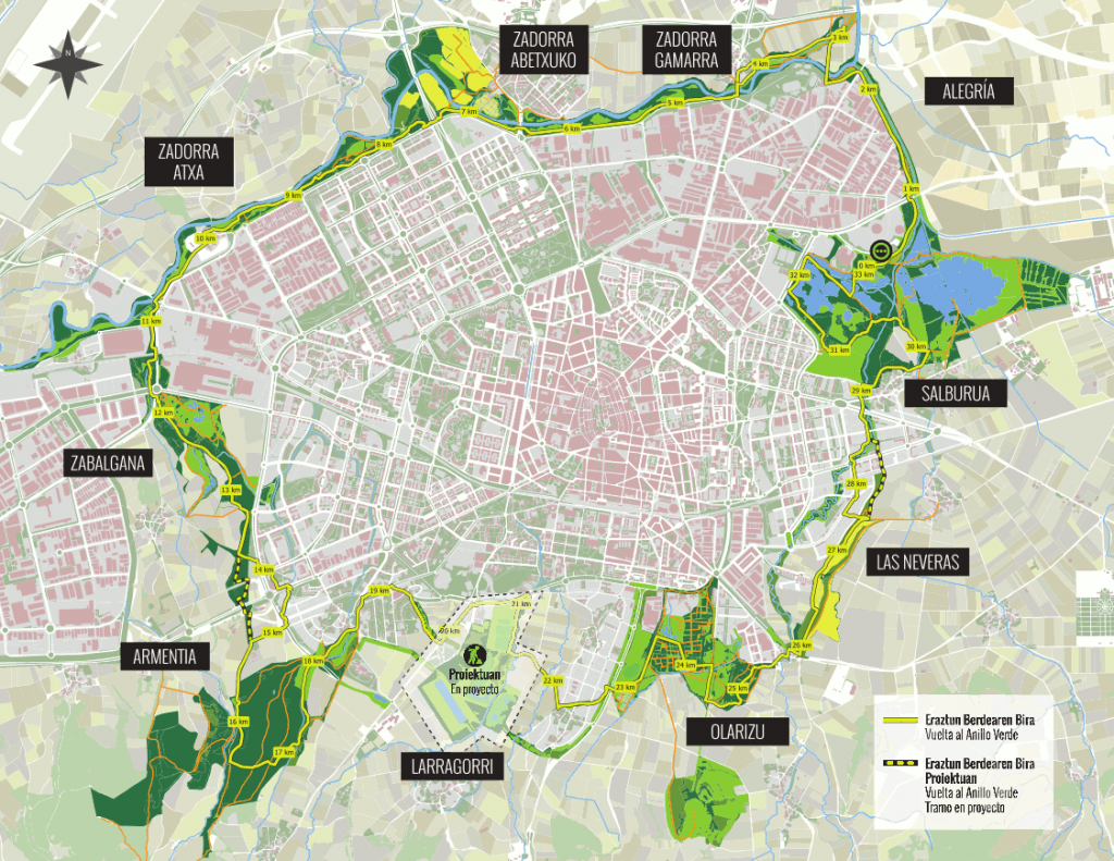
The Green Belt is an eco-recreational corridor that links periurban parks. It was created in the 1990s as a way of restoring the outskirts of Vitoria-Gasteiz and today it is recognised for its high ecological value and also for being a place for leisure, walking and outdoor activities. It can be visited in its entirety in a circular itinerary of more than 30 km, the Green Belt Touror stay in one of its parks and enjoy an activity. Structured products have been created such as Walking&Running or Nordic WalkingThe aim is to encourage sporting activity in these environments, as well as other activities such as the mtb or equestrian activities or family tourism. Its high natural and scenic value has also been used for its interpretation in environmental educationThe park has ecological vegetable gardens, bird watching and the Ataria Interpretation Centre and the Casa de la Dehesa de Olarizu. As you can imagine, it is an ideal place or places to enjoy with the little ones, while they learn to respect and protect the environment. (See the Green Belt nature areas brochure)
Situated only 3 km from the centre, a walk through the natural forest of Armentia takes you away from the city in an instant. You can start a walk in the Florida park and continue along the La Senda promenade, which takes you past the main mansions of the early 20th century, and then head for the Romanesque basilica of San Prudencio. And now head into the forest along one of the prepared paths. This 4.5 km, 1-hour route takes you through the trees of this natural stronghold, approaching the Montes de Vitoria, before returning on your walk and heading back to the city. An ideal walk for the little ones.
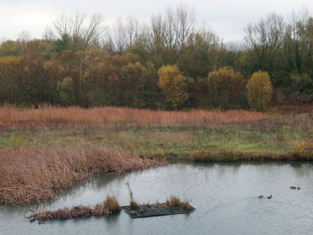
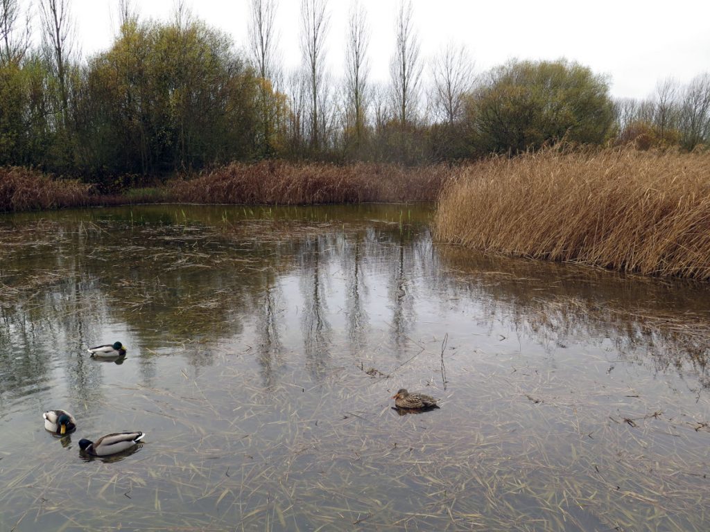
Salburua is one of the most valuable wetlands in the Basque Country, at the foot of the city, with a great variety of water birds, deer, and home to endangered species such as the European mink and the agile frog. Once drained to use the land for cultivation, it has now been reclaimed and is a natural oasis. At the epicentre is the Ataria Nature Interpretation Centre. We can walk around the entire perimeter, and it is worth doing so without haste, enjoying all its twists and turns. We can follow two routes or get lost with binoculars and "spend the afternoon" watching birds. There are two viewpoints in strategic places where you can observe waterfowl and deer. Route 1 will take us 2.4 km (40 min) to visit the Arcaute pond, the ornithological observatories, the Arcaute forest and the wet meadows and the Larregana lagoon. Route 2, in 4km (1 hour) runs through the Betoño reservoir, the poplar grove, the Duranzarra reservoir and the Salburua fields.) Both routes are on firm paths, suitable for everyone, even for wheelchairs and pushchairs.
At the foot of the hill of OlárizuThe park is surrounded by grassy fields with a magnificent panoramic view of the city. The Olarizu Botanical Garden or the Ecological Vegetable Gardens are located here, where activities related to ecological horticulture, gardening and fruit growing are carried out. A 4km (1 hour) urban walk takes you around the most interesting places.
Ullibarri Gamboa reservoir: water and life for the people of Alava.
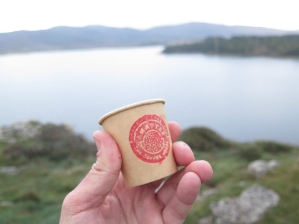
On the peninsula of San Juan (Punta San Juan), the air is gusty, spitting out a few drops of water, while the hot coffee tempers the body. The boys from Amatter Café They operate the cooker and all the filter and drip instruments, as if it were a coffee alchemy. In front there are spectacular views of the island of Zuaza.
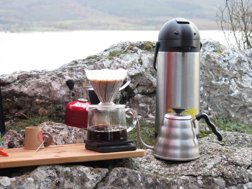
Reaching the tip of San Juan can be a beautiful family excursion (see track). Starting from the road before reaching the reservoir dam, then a track, which leads to the dam's footbridge. The road becomes a track and we follow the green route of the reservoir, taking care to leave it to take the path (on the left) that ascends to the San Juan peninsula.
The Ullibarri Gamboa reservoir can be said to be the coast of Alava, with inland beaches with blue flag status, such as Landa or Garaio.. This area of water is a place of recreation for the people of Alava, where you can practise a wide range of activities, including water activities such as kayaking, paddle boarding, windsurfing or paddle surfingThe reservoir can be used for other sports on the shores, such as hiking or mountain biking. There is a route that circles the reservoir, the Tour of the Ullíbarri-Gamboa Reservoir (see track)This is a circular route of 44 km and 100m of elevation gain that can be completed in about 5 hours on foot. We will cross footbridges and enjoy spectacular panoramic views around the perimeter of the reservoir. There is a shorter family route of 13 km and 25 m of height difference, which covers the southern part of the reservoir in approximately 1 hour and a half on foot. Return to the wetland at the tails of the reservoir (see track). Both routes can be done on foot or by mountain bike.
By bicycle: ring road, greenway, a Great Route and countless kilometres of cycle lanes
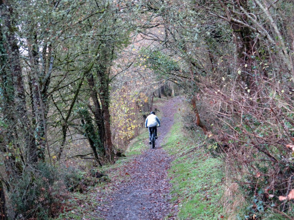
Vitoria-Gasteiz, La Llanada Alavesa, is located in a flat area criss-crossed by a network of itineraries and routes for cycle tourists and mountain bike enthusiasts - in just 15 minutes you can be under a spectacular beech forest in the Vitoria Mountains. The Return to the Green Belt (30km) surrounds the city, accessible from any point, and links up with other routes such as the Vasco Navarro greenway, the Colada de Peña Betoño, the Montes de Vitoria, etc. It is an ideal route for cycling, either in sections or in its entirety. Of medium-low difficulty, it is very interesting to do with the family, although it will also be the delight of the most demanding sportsmen and women. We will cycle through forest areas in the parks of Zabalgana and Armentia, through more urban areas in the outlying districts of the city, and through places of natural and cultural interest. You can follow the counter-clockwise direction and walk through the parks of Salburua, Zadorra, Zabalgana, Armentia, Olarizu and return to Salburua.
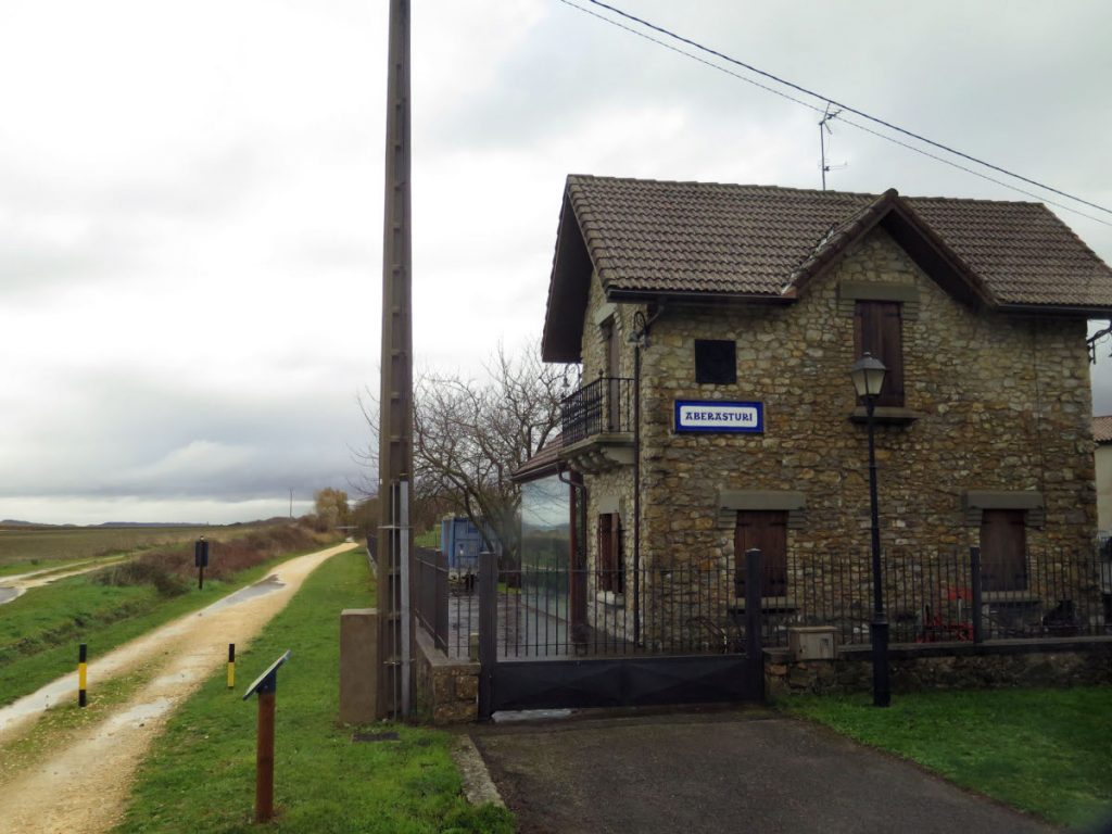
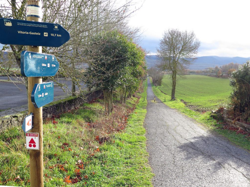
The Basque-Navarre Railway Green Route follows the old route of the narrow-gauge train that used to link Estella-Lizarra with Bergara, passing through Vitoria-Gasteiz, the so-called "el trenico" (the narrow-gauge train). This greenway, with its 123.5 km restored, will take us along an attractive route through the Llanada Alavesa, the Montaña Alavesa and Tierra Estella, between cereal plains and mountains, gorges and rivers. At Bergara addressThe track crosses the Llanada alavesa between agricultural landscapes to cross a bridge over the river Zadorra, a footbridge and a subway to the motorway, and then we reach Durana and the track will continue along the cycle path to the old Retana halt. This slightly uphill stage, in the vicinity of the Ullíbarri-Gamboa reservoir, will take us to the Arlabán pass, on the border between Alava and Gipuzkoa. South of Gasteiz, Estella-Lizarra addressAs the track crosses the eastern part of the Llanada Alavesa, we can approach the Sanctuary of Nuestra Señora de Estíbaliz, with its halt. We will reach the villages of Otazu, Aberásturi and Andollu, as we enter the most rural part of the Llanada. We will come across the GR 38 "Ruta del Vino y el Pescado" (Wine and Fish Route). In the vicinity of Gauna we will share the route with the GR 25 "Return to the Llanada Alavesa". We will continue on a steeper ascent until we reach the Laminaria Tunnel. This is usually the point where we return to the capital of Alava or where the more intrepid will continue on to Estella. The Tunnel is not currently passable, so we will have to climb up the mountains to the Gereñu Pass and from there to Maestu. Those who continue on to Lizarra will pass through places of great natural interest, such as the Izki Nature Reserve, descending gently to Santa Cruz de Campezo. Before reaching Acedo, we will cross the remarkable Arquijas viaduct and the Acedo tunnel. We then run parallel to the river Ega as we approach the monumental and Jacobean town of Estella-Lizarra. Its medium/low difficulty makes the Basque-Navarre Greenway an ideal route for families, on foot or by bicycle.
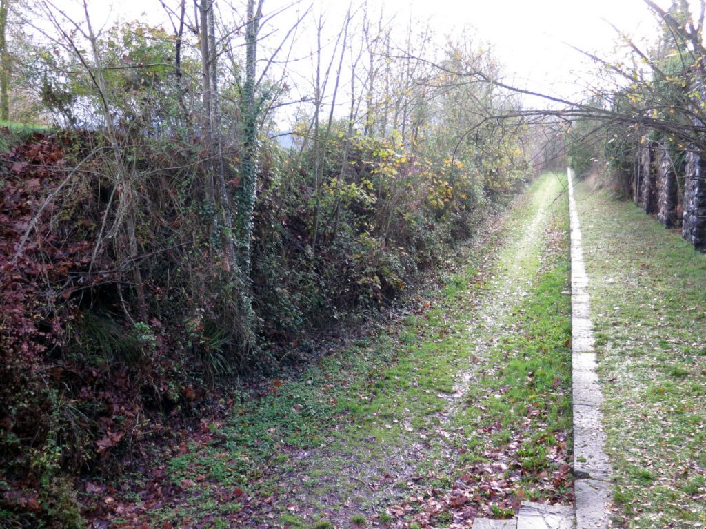
If you want to explore the entire length of the Llanada Alavesa, take your mountain bike and saddlebags and follow the marks on the Great Route with a desire to discover marvellous places. Starting from the Ataria Interpretation Centre, we can begin this circular cycle-tourist route that takes advantage of the route of other routes to offer us 117 km of adventure; Green Belt, the route of the old Basque-Navarre Railway, the Tour of the Ullibarri-Gamboa Reservoir, the Royal Post Road, the Pilgrims' Road to Santiago and, once again, the Basque-Navarre Greenway with the Estíbaliz branch. A route for all types of public that can be done in 2 or 3 days, as it suits us best, taking advantage of the intermediate towns of Maturana, Narbaiza, Araia, and Agurain-Salvatierra.
On foot: a plain surrounded by mountains
A Llanada surrounded by mountains, an endless number of possibilities for hikers and mountaineers, who can choose the level of difficulty and demand that best suits them. Vitoria-Gasteiz is surrounded by natural spaces such as the Natural Parks of Gorbeia, Aizkorri Aratz and Izki. Reaching the summit of Gorbeia, at an altitude of 1,482 metres, and contemplating the Cross, is a landmark in Basque mountaineering. Another popular climb in the area is that of Aizkorri (1523 m), with its hermitage on the rocky summit, a vertiginous vantage point overlooking the northern slope. For hiking, the Izki Natural Park is a feast for the senses. The river Izki runs through a forest of Quercus pyrenaicaEurope's largest, bordered by mountains, with the highest point at Mount Kapildui (1176 m).
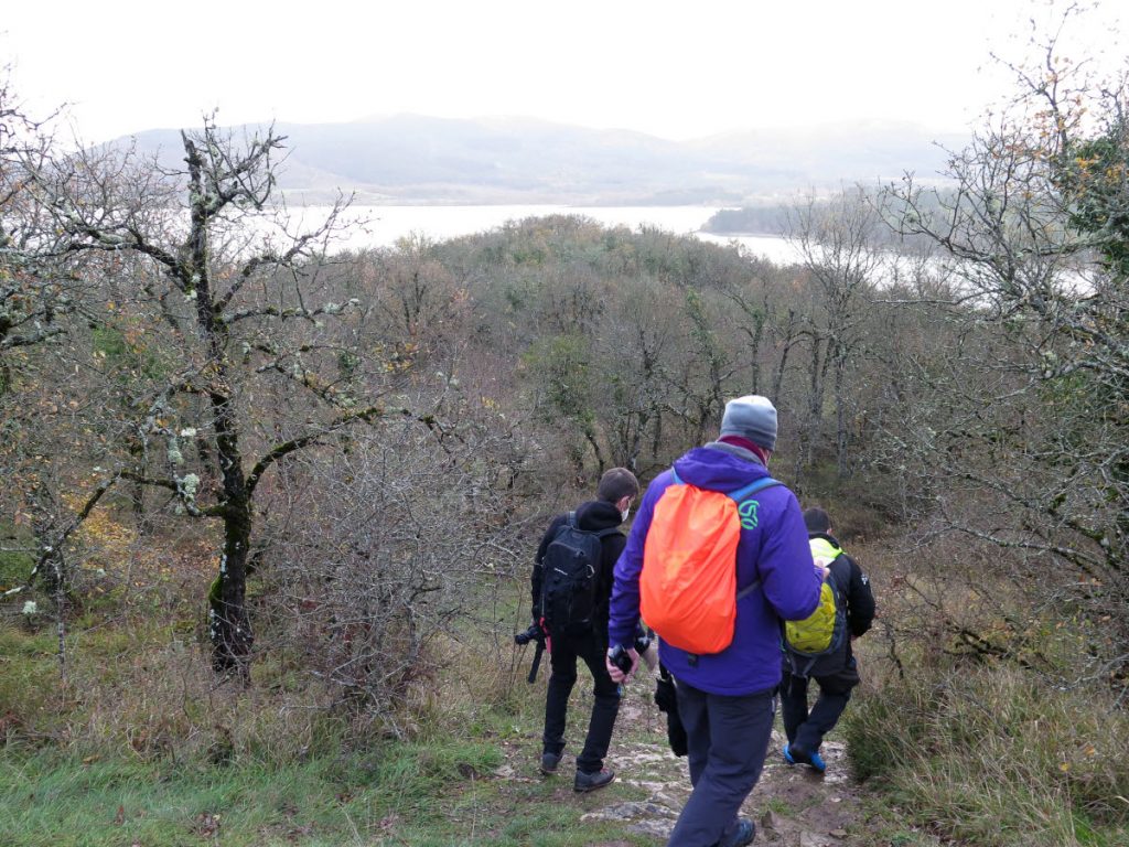
The area is traversed by major routes such as the Inland Pilgrims' Route to Santiago de CompostelaThis route, recovered in 1994, crosses Gipuzkoa and Alava in 7 stages (days) in a heterogeneous landscape that will take you from the coast and humid forests to endless plains, such as the one that surrounds the city of Vitoria-Gasteiz. In Roman times it was one of the communication axes in the north of the Iberian Peninsula. Another route that crosses the Llanada Alavesa is the GR 38, Wine and Fish RouteThe road, which crosses the Basque Country from south to north, was once used by mule drivers, and its road still harbours the aroma of the goods that used to travel along it. From the coastal ports of Bermeo, Ondarroa and Lekeito, the carters would set off with mules laden with fresh and salted fish heading inland, and would return with wheat, salt, vinegar and wine. Another great route that crosses the Llanada is that of the The Ignatian Way. The Ullibarri Gamboa reservoir, as we have already mentioned, is an ideal place for hiking with the little ones; the most avid hikers will be able to do the Return to the reservoir and enjoy the perimeter of this natural heart. The Green Ring is walked every day by the residents of Vitoria in a healthy routine, who doesn't put on their running shoes to do running or Nordic walking. Both activities are gaining more and more followers year after year.
Gastro-cultural pairing in the Llanada Alavesa.
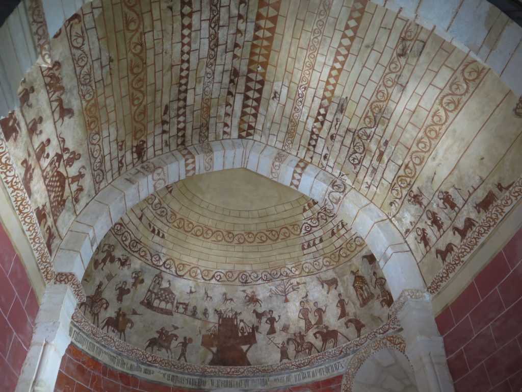
An immersion in the nature and open air that surrounds the city of Vitoria-Gasteiz would not be complete without enjoying the culture and history of the place. Isabel Mellén, from Medieval Alavadiscover the Paintings of Gazeo and Alaitza. On the apse of both temples we contemplate the paintings that for centuries were hidden under a layer of whitewash, today jewels of medieval painting in the whole of the Basque Country. With novice eyes we try to decipher the enigmatic lay figures on the ceiling of the Alaitza temple. A visit to the Sanctuary of Our Lady of Estíbalizcompletes the tour. 3 jewels of Romanesque architecture that can be done by bicycle to masterfully complete the marriage of culture and sport in the Llanada Alavesa. The day can end with a return to the capital to rest, with the obligatory visit to the St Mary's Cathedral and the old town The visit to the Cathedral of Vitoria-Gasteiz, which will take us back to medieval Vitoria, will show us how the city grew, a small village at first, and then gradually expanded, now at the foot of the Cathedral. The visit to the temple is completed with a 3D visitWearing virtual reality goggles, we will see how the medieval city and its walls change as the Cathedral takes centre stage.
And if we're talking about a complete immersion, we won't forget about the local cuisine. Uagalur presents a sample of local products, vegetables, meats, pulses, wine, cheese, oil, handicrafts..., thanks to which we will dive into dishes - like the ones we have tasted today thanks to the Bar Toloño- that will tell us about the natural, the traditional and, in the end, the history of the place.
Fastpacking is not about going faster. It's about going lighter.
If you come from classic trekking, this is the next step: learning to move with less weight,
more fluid and enjoying every kilometre more.
Join the Outsiders Newsletter and start discovering what lightness feels like.
