Petrechema (2,371m) from Linza. Circular route.
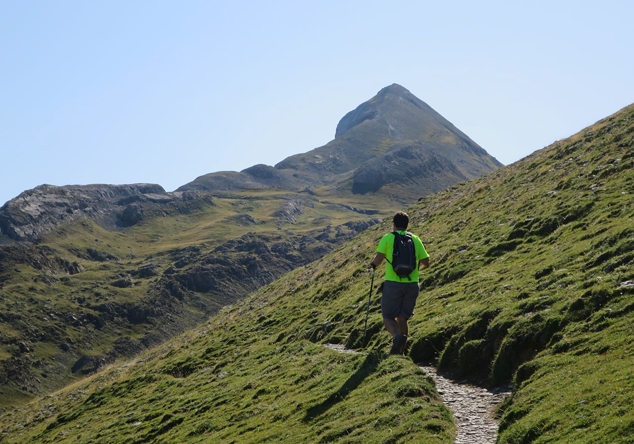
The Petrechemaamong the valleys of Ansó and Lescúnis an ideal mountain to get started in the Pyrenees and achieve our first "two thousand". In fact, I can't think of any other mountain in the Western Pyrenees as suitable for initiating young children (at least 10-12 years old and used to walking in the mountains) or for introducing anyone used to walking to the idea of climbing mountains.
There are several reasons for this. It is an easy and beautiful main summit within its surroundings. But we are not going to underestimate it either, we are always talking about climbing it in the summer season, without snow, on a stable day when it is not too hot (there is no shade or fountains) and following the route from Linza that passes through the Linza pass, which we describe here for the ascent. For the descent, to do the circular route, we have proposed another more demanding itinerary, with more loose stones and a fairly steep section to descend from the summit. This alternative can also be classified as easy, but we do not recommend doing it with children.
The Great Needle of Ansabère
The Petrechema (2.371m)also called peak of Ansabereis inextricably linked to the Aiguilles d'Ansabere, to the Grand Aiguille (2,378m), 7 metres higher than this one and separated by a distance of 55 metres by an impassable gap 40 metres deep. A needle that is part of the history of Pyrenean climbing and on which the Ravier twins (Jean and Pierre) left their mark on the north face in 1954 (300m, ED-), although the needle had already been climbed previously (24 June 1923) from the aforementioned gap with a tragic end.
100 years since the tragic first ascent of Armand Calame and Lucien Carrive
The tragic story of the first ascent of the Grand Aiguille d'Ansabère was told by the young climbers, Armand Calame (19 years old) and Lucien Carrive (31 years old). On 24 June 1923, Calame and Carrive set off for the summit of Petrechema accompanied by a group of friends who were to witness their feat. The two climbers descended without any problems to the above-mentioned gap and then overcame a first easy part that left them on a platform, halfway up the spire. At this point, Calame took the lead, managing to overcome a difficult crack (MD+) on his left. Carrivé, who comes behind, does not manage to overcome the length, with the bad luck that the hemp rope that secures it breaks and falls into the void before the astonished gaze of the staff. Calame, who had already overcome the main difficulty, decides to continue to the top and succeeds, but he still has to descend. With the remaining piece of rope and after reaching the point where his friend had fallen, tragedy struck again, and he too fell into the void. A day later, the new rope they had requested arrived home. After the tragic episode, the company they had called "Les Chats Noirs" and later "Kroquant Club" was closed down, the climbing equipment confiscated and climbing forbidden.
Map:
Downloadable:
> Download Track
How to get there:
See in Google Maps.
The most common way to get to the Linza refuge is from the Pamplona-Jaca motorway.
If you come from Pamplonathe reference point is IsabaWe reach it via the NA-137, either via Lumbier and the Puerto de las Coronas, or further on via Sigües and Salvatierra de Esca. Shortly after passing Isaba (4kms), a road on the right-hand side indicates the junction to Ansó and Zuriza (12kms). At Zuriza The road to Ansó joins the Ansó road, which, following the left-hand side, takes us to the Linza refuge in 5 kilometres. In total, 19km from Isaba or 115km from Pamplona..
If you come from Jacathe reference point is AnsóWe can get there from Puente la Reina de Jaca on the A-176, or from Berdún on the A-1602. After Ansó the road narrows and you have to go slowly. Once in ZurizaThe route then links up with the other itinerary that we continue on to Linza. In total, 19km from Ansó or 74km from Jaca..
Technical specifications:
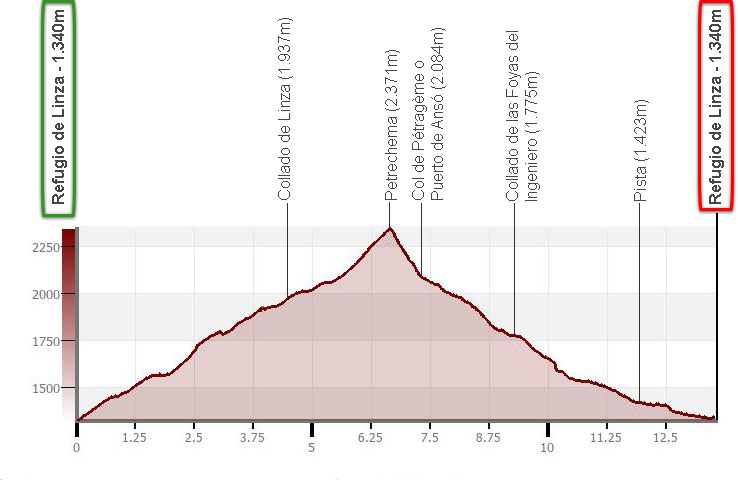
Distance: 13.5km.
Cumulative difference in altitude: +/- 1.050m.
Timetable: about 6 hours. Walking time without stops: 5h05min.
Water: At the end of the route there is a fountain. If we turn slightly uphill we will find the fountain of Cubilar de Petrechema, but we cannot guarantee that it has water in summer.
Difficulty: The ascent is easy, ideal for beginners in the Pyrenees. The descent, on the other hand, is somewhat more complicated, with an inclined section of rocks on the descent from the summit and a less comfortable return path than the ascent.
Recommended equipment for the summer: boots or slippers, two walking sticks, GPS (optional), canteen.
Summary:
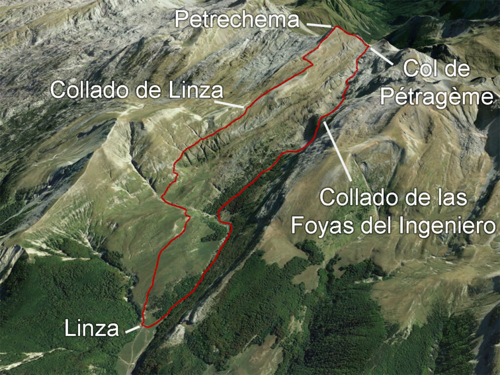
From the Linza refuge, we will continue on to the Linza pass -sharing the route with the itinerary to the Three Kings Table- and then continue to the right, halfway up the slope, towards Petrechema and climb the west ridge. To descend to Linza, we descend via the col de Pétragème or Ansó pass, the Foyas del Ingeniero and the Petrechema ravine.
Itinerary:
(0h00min; 0,0km) Linza Refuge / Plano de la Casa (1.340m). At the end of the car park, take a well-marked path that climbs eastwards towards the Linza surplus. It is a very busy path, as it goes up to the Linza pass, Petrechema and Three Kings Table share the same route.
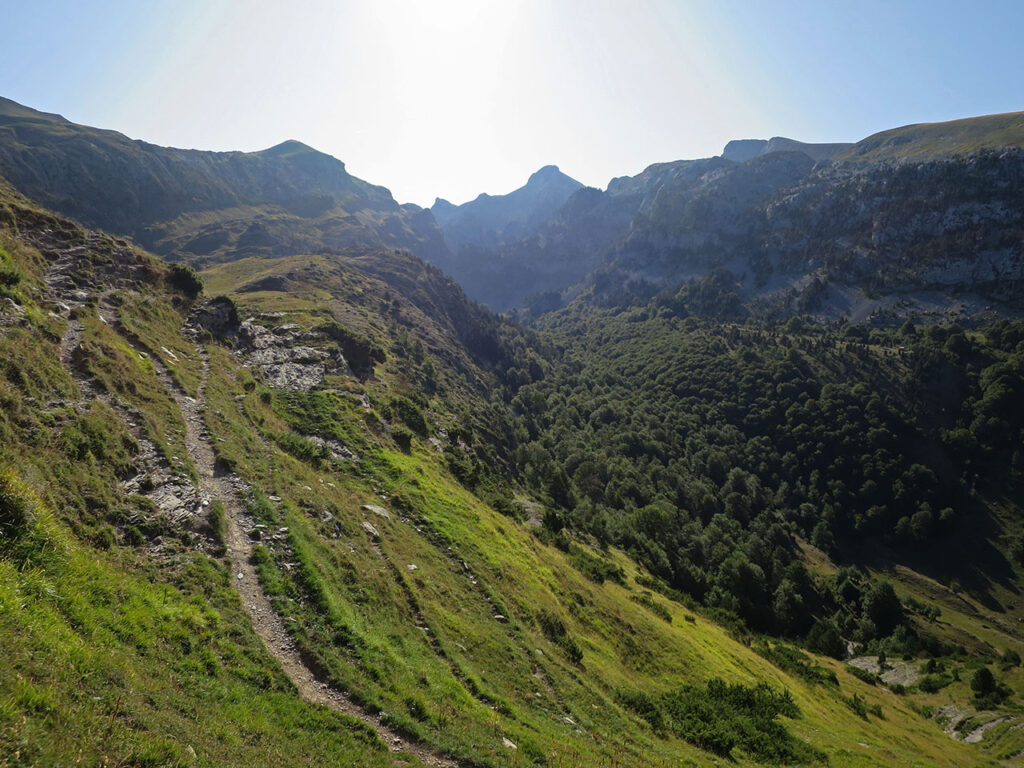
The path is comfortable and you can advance quickly, and only after Cubilar de Petrechema are there some steeper rocky sections that you can overcome without any problems.
(1h20min; 4.0km) Collado de Linza (1.937m).
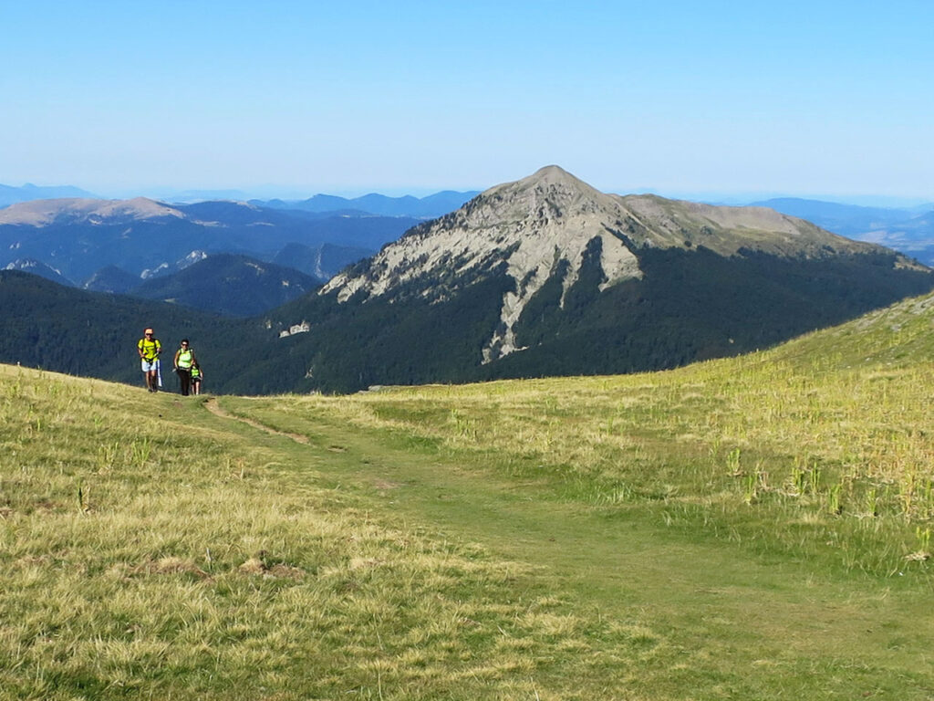
The path divides, straight ahead, to the left, descends to the Hoya de la Solana to continue towards the Table of the Three Kings (2,444m). On the right, halfway up the slope, you climb up to Petrechema.
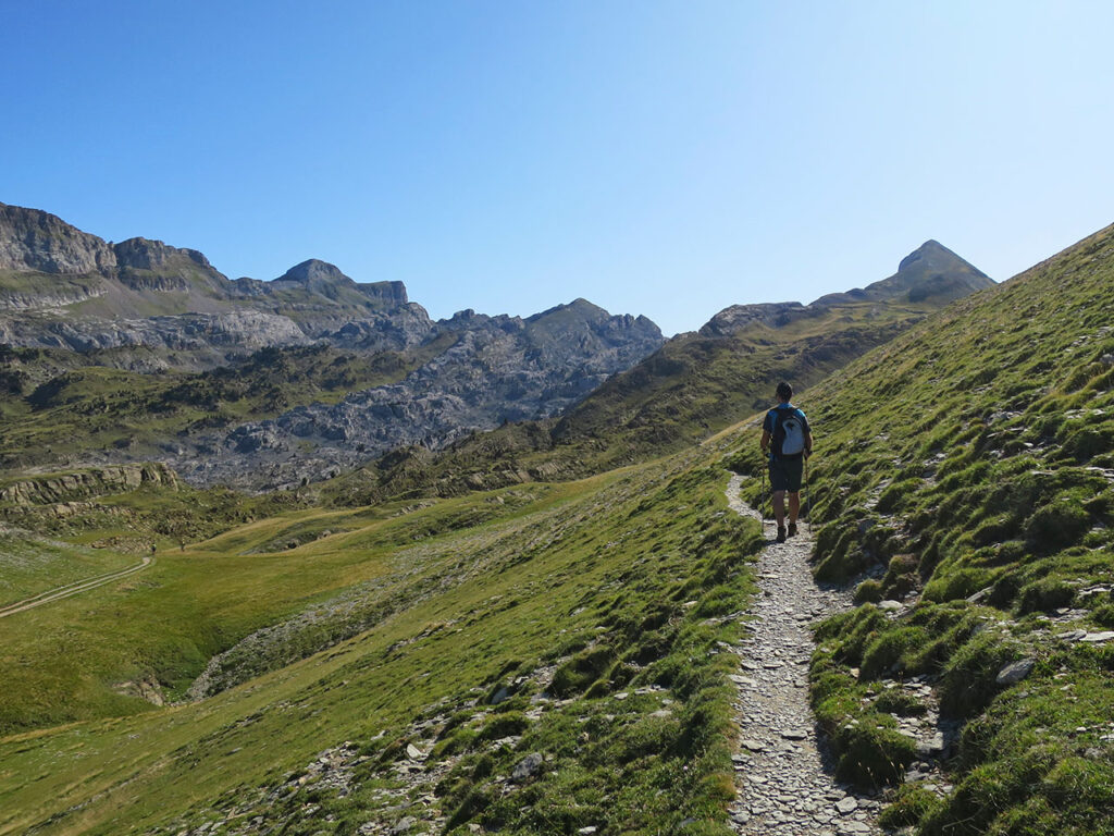
We will take the second option and in about 30 minutes we will reach a pass (2,070m) where the main path turns to the left (north) and climbs up to the west ridge of Petrechema, where we will continue to the summit.
(2h30min; 6,6km) Petrechema (2.371m).
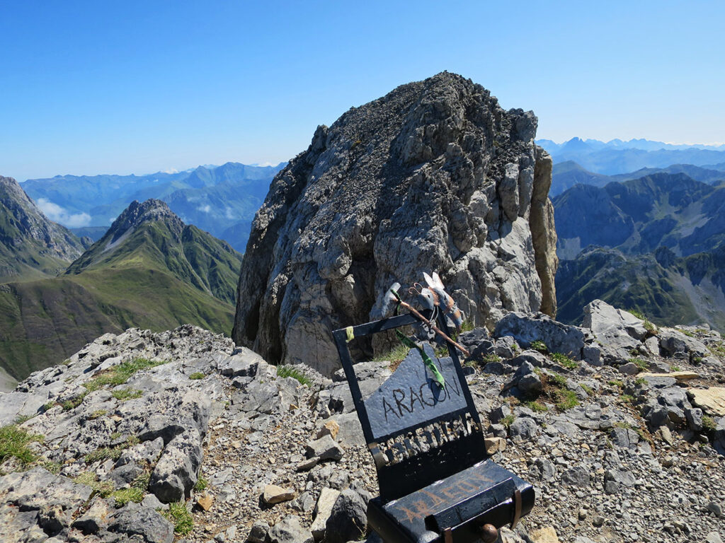
The views are magnificent in all directions.
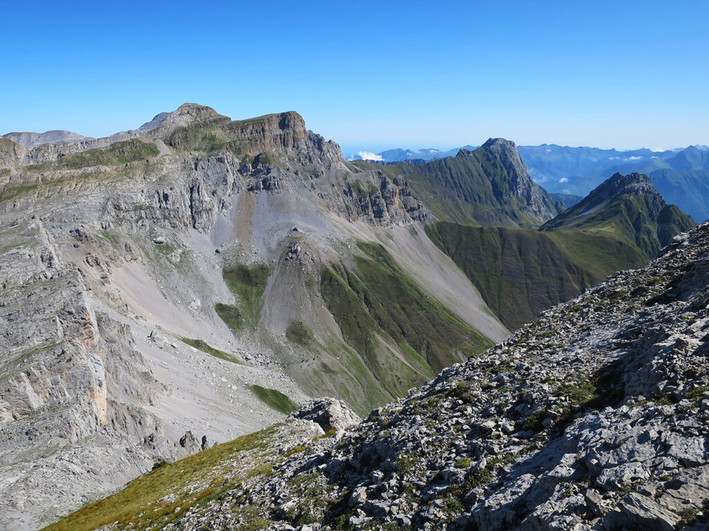
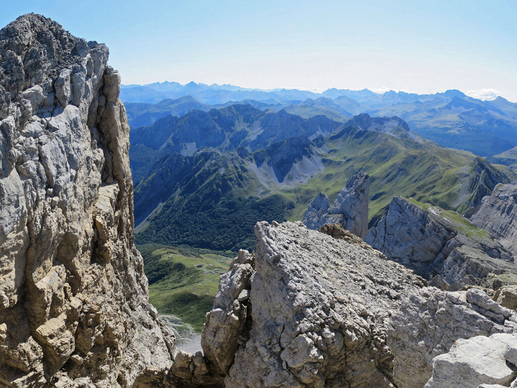
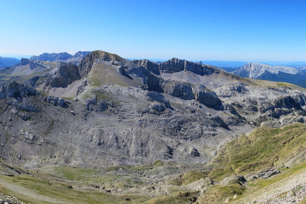
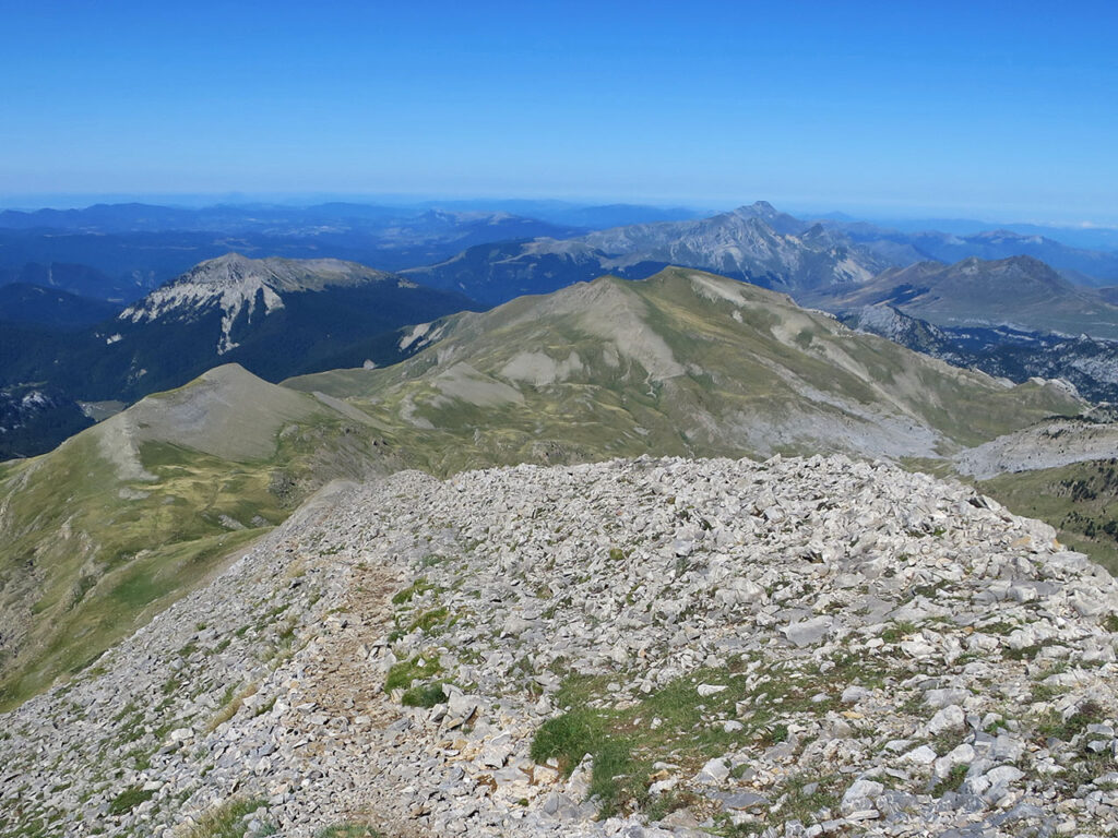
To descend, we descend along a path (S) just before reaching the summit. This is the most difficult part of the route. It is a descent of about 300m over rocky terrain with a steep slope.
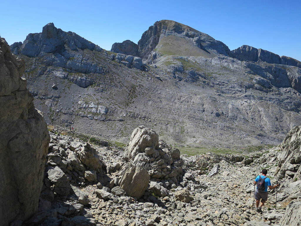
(3h00min; 7,3km) Col de Pétragème / Petrechema or Puerto de Ansó (2.084m). A crossroads of paths and a crossing point between the valleys of Ansó and Lescún, today it is crossed by the Senda Camille (green and yellow), which we follow in a westerly direction. To the east it would take us to the Cabañas de Ansabere and to the south, in case anyone dares to climb, a small path leads to the Sobarcal (F) and Acherito (F). As said before, we continue down to the right (West) on the way to Foyas del Ingeniero along a stony path where the first black pines gradually appear.
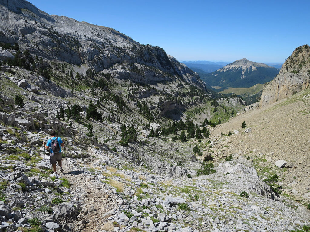
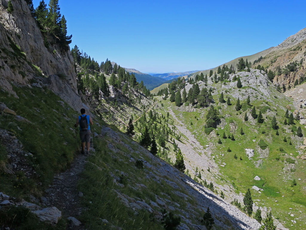
(3h45min: 9,3km) Collado de las Foyas del Ingeniero (1.775m). At the end of the large doline we cross a small pass where we join the trail to the Peak of Acherito. The path continues down the left slope of the Petrechema ravine and then descends towards the bottom, to the Barcal de Linza, and enters the beech forest. After about half an hour, at an altitude of 1420m, we reach a grassy area where we reach a path that leads to the...
(4h40min; 11,9km) track (1.423m). We will follow it for half a kilometre until we find the path on the right that takes us to Linza in a rapid descent.
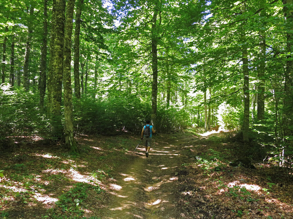
The last stretch is flat and passes through a picnic area with a fountain and a path adapted for wheelchairs.
(5h05min; 13,5km) Linza Hut / House Plan (1.340m)
Fastpacking is not about going faster. It's about going lighter.
If you come from classic trekking, this is the next step: learning to move with less weight,
more fluid and enjoying every kilometre more.
Join the Outsiders Newsletter and start discovering what lightness feels like.
