¿Qué es el MIDE?
Pirineos y montaña 📩
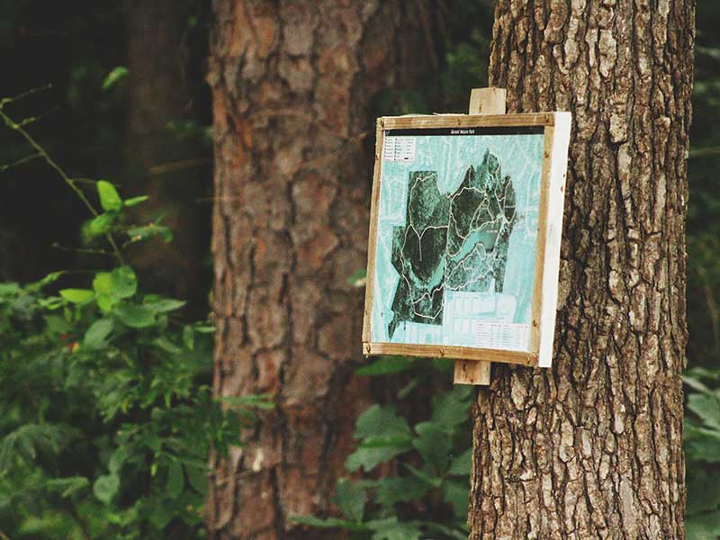
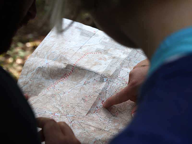
Aquí 🔥El MIDE o Método para la Información de Excursiones es una herramienta capaz de mostrar el grado de dificultad que cualquier ruta natural de senderismo.
El abanico de emplazamientos que este método es capaz de describir resulta tanto extenso como variado, abarcando desde breves paseos de corta extensión, hasta largos recorridos que necesiten de la utilización de herramientas y de material especializado.
La definitiva aparición de esta ingeniosa plataforma informativa data del año 2002, de las manos de Alberto Paris Roche, durante la puesta en marcha de la campaña Montaña Segura. La iniciativa se trató de un proyecto en el que participó el gobierno de Aragón y la Federación Aragonesa de Montañismo.
Los datos que ofrece el MIDE vienen organizados en 3 secciones:
- la información de referencia
- la información de valoración
- indicaciones técnicas del recorrido
El MIDE y la Información de Referencia: Datos claves para una eficaz comprensión del terreno
Horario
El primer tipo de datos que el MIDE ofrece es el horario general, estimado en horas y minutos, que será necesario para la realización del trayecto. Para el cálculo de esta estimación no se toman en cuenta factores como las paradas, el estado físico de los excursionistas ni cualquier posible contratiempo que se pueda presentar.
Desnivel de subida y desnivel de bajada
Aparte de esta estimación del horario, el MIDE ofrece cifras relativas al desnivel acumulado de subida y bajada. Estas cifras consideran la longitud total del trayecto, desde el punto de inicio hasta el punto de llegada.
Distancia horizontal
Este dato indica la distancia que separa al punto de partida del punto de llegada. Este parámetro no toma en cuenta los desniveles, solo la distancia entre el inicio y el final del itinerario.
Tipo de itinerario
La información que ocupa el cuatro parámetro de la citada escala, muestra las apreciaciones referentes al tipo de recorrido que al emplazamiento le ha sido otorgado. Esta clasificación se presenta en tres modalidades totalmente diferenciadas:
Itinerario estilo travesía
Este tipo de recorrido penetra en el terreno de forma aleatoria, de modo que los puntos de inicio y llegada son dos localizaciones completamente diferentes.
Itinerario de ida y vuelta
Se trata de un recorrido en el cual el punto de partida y de llegada son exactamente el mismo. La excursión alcanza el punto de llegada y regresa al punto de inicio hanciendo el mismo recorrido pero en la dirección contraria.
Itinerario circular
En el itinerario circular el punto de partida y el punto de llegada son exactamente el mismo, pero en el trayecto se para por cada lugar solo una vez.
¿Qué es la Información de valoración?
La información de valoración describe los parámetros estudiados de una forma cuantitativa, mediante el uso de una escala del uno al cinco. Esta escala mide la complejidad del itinerario en una escala de 1 a 5, equivalentes con el grado de complejidad que se desea comunicar.
Los parámetros que son estudiados se identifican por las siglas MIDE donde
- Medio, es el ambiente o entorno a ser estudiado,
- Itinerario, el tipo de trayectoria que se seguirá,
- Desplazamiento, que en realidad advierte del grado de dificultad inherente a la propia travesía,
- Esfuerzo, una medida aproximada del esfuerzo físico necesario para el itinerario señalado.
Severidad del medio natural
La severidad del medio natural es el primer parámetro que será medido contando su apreciación entre el grado uno, grado que indica que el medio está libre de riesgos hasta el cinco, para indicar que el medio presenta muchos factores de riesgo.
Orientación en el itinerario
Ese parámetro mide si los caminos a seguir se encuentran bien señalizados y si es posible seguir los senderos sin necesidad de hacer desvíos. Uno indica que los caminos han sido bien definidos y cinco señala que la navegación es interrumpida por obstáculos que hay que bordear.
Dificultad en el desplazamiento
Este parámetro indica la dificultad que representa avanzar en el itinerario. Uno indica que es posible desplazarse por superficies lisas y firmes, como una pista de tránsito, y cinco señala que se requiere escalar para avanzar.
Cantidad de esfuerzo necesario
Este parámetro señana una medida temporal para describir un período de marcha necesario para cubrir el itinerario. Uno indica que el trayecto puede realizarse en una hora de marcha, mientras que cinco señala que el recorrido exige 10 horas o más de marcha efectiva. Esto implica que ese recorrido exige de una gran condición física para poder completarlo.
Indicaciones técnicas del Recorrido: Consejos finales para una excursión completamente eficiente.
En esta ultima sección y dado el tipo de ocasión a presentarse, toda tabla del MIDE entregará información sobre el tipo de herramientas necesarias para superar los obstáculos que el terreno pueda albergar.

Mayormente son tres parámetros los señalados por esta sección entre los que se subdividen los datos referentes a los pasos de escalada, las pendientes de nieve a atravesarse y la necesidad de la puesta en practica de las diferentes técnicas del rapel. La prevalencia de este tipo de condiciones sobre el terreno es el factor que en sí mismo determinara la presencia de dichos datos en las tablas del MIDE.
Para que toda excursión sea totalmente segura y efectiva, resulta necesario que el equipo excursionista busque información extra de la ruta a través en fuentes como libros, guías ilustradas asi como de diversos portales de internet. Esto conllevará a una toma de decisiones más eficaz sobre cómo deberá desenvolverse el grupo.
También es necesario consultar las condiciones meteorológicas que se presentarán en el día de la excursión y preparar de antemano el equipo que será necesario usar en dicho trayecto.
Siempre es necesario insistir en este punto: al salir de excursión, intenta ir siempre en compañía; NUNCA salgas solo. Procurando que siempre algún amigo o familiar que no te acompañe sepa de tu excursión y cuando regresarás en caso de emergencia.
Con la puesta en marcha de todos y cada uno de estos consejos el disfrute total, absoluto y seguro del medio natural estará completamente garantizado