Tracks Camino de Santiago
Pyrenees and mountains 📩
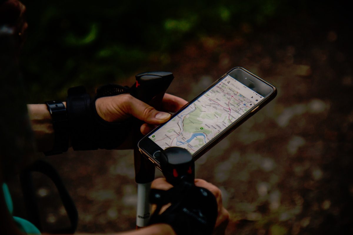
Here 🔥There are many different routes that can be taken on the pilgrimage to Compostela. If you choose to use a GPS and you require the tracks of the Camino de Santiago, Here are some of the websites where you can find the ones you need.
RayyRosa.com
In RayyRosa.com you will find unified for you all the tracks of the Camino de Santiago in the universal GPX format. The route can be selected as a complete single track or in stages.
How to download and install a track on your GPS
- First of all, you have to download to your computer the track you are interested in from the link on the right hand side of the stage or complete route.
- Next, connect your GPS to your computer via the USB cable.
- Now, you must proceed to install the track file in the memory of your GPS. This is usually done in the GPX folder.
- Finally, turn on the GPS and select the track.
How to download and install a track on your mobile
You must have previously downloaded a surveying application that can read GPX files.
- The first thing to do is to download the track you require to your mobile phone from the link to the right of the complete stage.
- When you have downloaded it, the mobile phone will ask for the application with which you want to open it.
- At this point, you need to choose the application you need.
- This way, you will be able to start sailing.
elcaminodelaplata.com
To get the tracks of the maps of the Way of Saint James along the Silver Route, You must access the stages on their website and then you can download the map of each route. The following steps must be carried out in order to continue:
- The first step is to go to the Stages tab on the website. There you have to look for the stage you want to do.
- Once inside the stage page you will notice that there is a button indicating download route. Click on it and you will download a zip file.
- On your device, look under downloads for the zip file and select the Extract all content option.
- Now, choose the extracted KML file and open it via the Google Earth application.
- The application will then open and by choosing the route that appears, you will be able to see the precise route of the stage.
- In addition, the elevation of the terrain can be viewed for the entire stage. Right-click on the kml file and select the function Show elevation profile.
caminodelnorte.com
More and more pilgrims are making the pilgrimage to the The Northern Way of St. James with a GPS. The Camino itself has less and less risk of a pilgrim getting lost, but any help is good.
Here the tracks are divided into stages. You can also download all tracks in a single zip file. They are in KMZ format (Google Earth). To convert from one format to another, and for use with GPS, we recommend using the free gpsbabel converter.
www.mapacaminosantiago.es
On this website, for each route you can find a description of the route and its complete profile along with the track. In addition, a division of stages is added and each stage includes its map and profile.
If you need the route track for your mobile device, please email info@editorialbuencamino.com to receive the latest version, as the routes are constantly changing.
Fastpacking is not about going faster. It's about going lighter.
If you come from classic trekking, this is the next step: learning to move with less weight,
more fluid and enjoying every kilometre more.
Join the Outsiders Newsletter and start discovering what lightness feels like.