El Montseny: Tagamanent ascent between Figaró and Aiguafreda
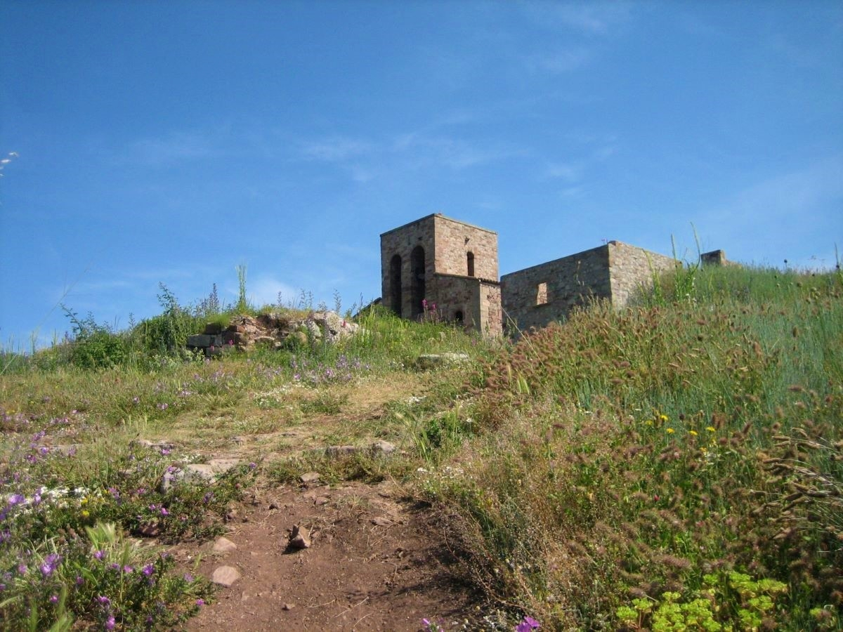
A route designed between two train stops, through the western part of the massif. During the ascent to Tagamanent, we will be able to see from the Mediterranean forest to the central-European atmosphere of the pla de la Calma.
The Montseny natural area is part of the Catalan pre-coastal mountain range and straddles the provinces of Barcelona and Girona. There is a great diversity of forests: holm oak, pine, chestnut, beech and fir woods... As for the fauna, Mediterranean species such as wild boar, foxes and squirrels coexist with others of central European distribution, such as the marten, the red frog and the Aesculapius snake. It also has an endemic species, the Montseny newt.
Summary
The route starts in Figaró, a town with a modernist and noucentista architectural heritage. Follow the PR-C33 markers that lead you up the Àngelus stairs. You reach the Molí spring, the hermitage and the rectory of Vallcàrquera. From here, you climb steadily through the wooded area to the summit of Tagamanent. Here you will find unbeatable views of a large part of the pre-coastal mountain range. Now we start to descend following the GR-5, which after passing the ruins of the Puig-agut farmhouse and the Amargosa spring will take us to the village of Aiguafreda and l'Abella, where we can catch the train.
Map
Technical specifications
- One-way transport: RENFE. Line 3. BCN- Vic. El Figaró stop
- Return transport: RENFE. Line 3. BCN- Vic. Sant Martí de Centelles stop
- Distance: 13.4 km
- Cumulative difference in altitude: + 729 m/ - 643 m
- Duration: About 4 and a half hours. Not counting stops.
- Difficulty: Medium. Steady climb on the first part of the route.
- Water points: In both towns and at the Molí spring.
- Recommended equipment: Comfortable clothes, water and some food, sun protection and a walking stick for the climb.
Itinerary
-0 h. 0 Km. 330 m. El Figaró. We leave the station and cross a bridge over the C-17 and the river Congost. Turn left onto the Ribes road. You will see signs for an urban walk through this modernist town. When you reach the Àngelus residence, leave a path also marked as PR and start to climb to the right along the PR C-33, by the Àngelus stairs. At the end, turn left into Pare Jacint Verdaguer street until you reach Plaça Francesc Gambús.
- 10 min. 0.8 Km. 360 m. Vallcàrquera path. We enter an asphalted forest track that leaves the square. The first part is flat, but then it goes uphill. You reach an esplanade where you will find signs for a nature trail in Vallcàrquera. You pass over the stream of the same name.
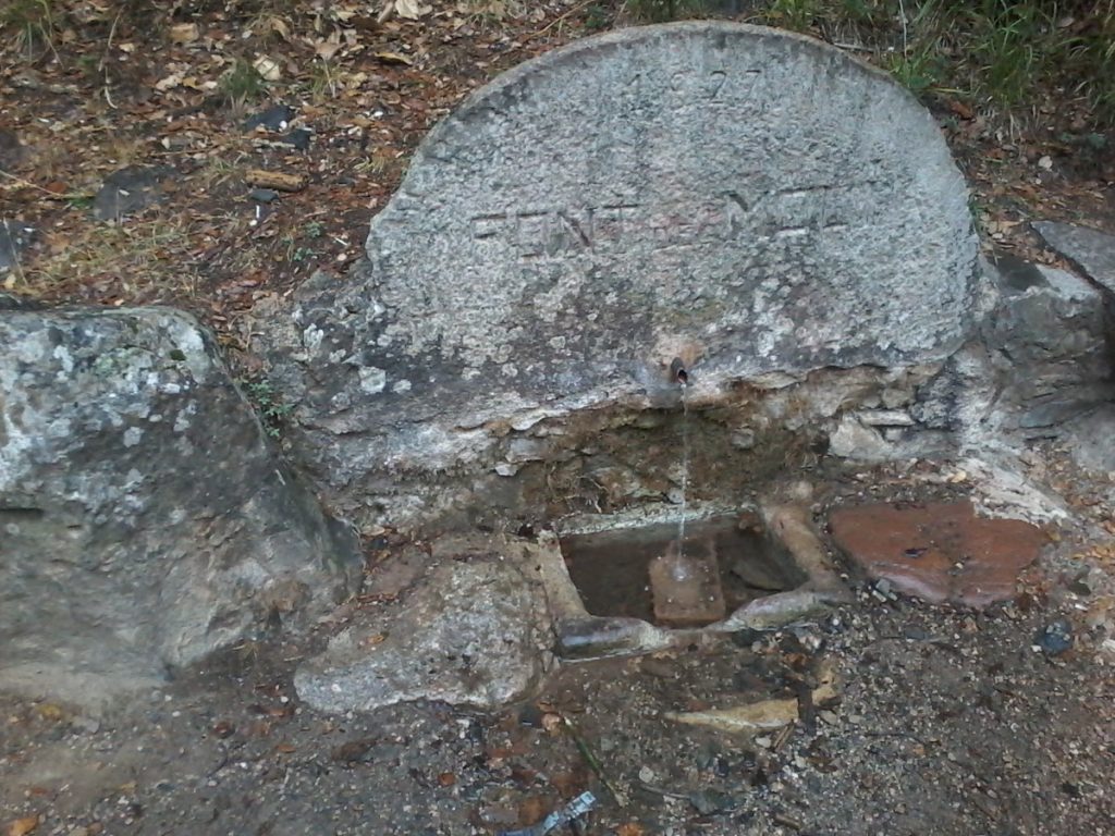
- 30 min. 1,8 Km. 400 m. Font del Molí. Located to the left of the track, it flows from a tap attached to a mill wheel. To the right are the ruins of the mill and a pond. You reach the Romanesque chapel of Sant Pere de Vallcàrquera (11th century) with Can Xicola attached. Continue uphill until you reach the end of the asphalt. At the next fork, leave the PR that goes to the right.
- 40 min. 2.5 km. 460 m. Vallcàrquera Rectory. Environmental equipment. At the next fork, turn left following the signs to Tagamanent. We leave a path on the left, Can Parraubis on the right and climb steeply through the mixed forest of holm oaks and pines. Later we leave a path on the left and another on the right.
- 55 min. 3.3 km. 550 m. We reach a fork, which we take to the right following the signs to Pla de la Calma and Tagamanent. Afterwards, it becomes smoother. On the left, we can see Puiggraciós and the telegraph tower.
-1 h 25 min. 4.5 Km. 755 m. Pla de Santa Maria. Fork, leave a track on the left, a path in front, and turn right. Leave the Can Coll farmhouse on the left.
- 1 h 40 min. 5.5 Km. 847 m. Col de la Creu de Can Coll. Junction of paths. We leave one path on the left, and from the three on the right we take the middle path, marked with a wooden pole and some red markers. Shortly after we reach a fork, we go to the right. The vegetation is bushy, with some oaks, pines and junipers. We can see traces of the presence of wildlife, such as ground disturbed by wild boars and pine cones gnawed by squirrels. We go to the right following the milestones until we reach a track, which we take to the left going downhill. On the left you have a view of the Cingles, Montcau and La Mola, and the spires of Montserrat. Once you pass a ruined building, take a path on the right that goes uphill a few metres further on. You reach a fork, leave the path that goes up on the right and take the path on the left.
-2h5 min. 6.4 km. 990 m. Font de Obra. Located in a building, it is dry all year round. We go up a very faded path until we reach another transversal path. On the right we would go to the pla de la Calma, we go to the left. At the next fork we leave the path that goes straight ahead (after visiting the summit, we continue along this path) and turn right uphill. We skirt the rocky platform, take a path to the right, leaving the one we were on and go uphill.
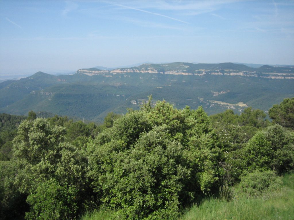
-2h15 min. 7,1 Km. 1059 m. Turó del Tagamanent. Remains of the church of Santa Maria (10th century) and the ruins of the village of Tagamanent. The views are splendid, from the pre-coastal mountain range to towns such as Centelles and La Garriga. Go back to the path you came on before and descend, leaving the path you came on to the left. Descend through meadows accompanied by insects, reminiscent of the Pyrenees. Then through a holm oak wood on clayey soil, until you reach a wider path. We take it to the left downhill and join a larger path that we take to the right, also downhill. We leave the path we were taking on the left and go to a parallel track that we see on the right, and continue downhill.
-2h30 min. 8,5 Km. 900 m. GR5. We find indicative metal poles. We alternate between wooded areas and more open areas dominated by clayey material. We reach a large track and go down a few metres to take a path that goes straight ahead through heather. Take a shortcut until you come back out onto the track. Walk a few metres, leave the track and take a path on the left. Cross the track and continue along a path opposite. We reach a track that we take to the right going downhill, leaving a path on the same hand.
-2h55 min. 10,1 Km. 670 m. Puig-agut. Leave the remains of the farmhouse on the left. At the height of the power line, leave the track and turn right. A few metres before reaching a clearing, go down a small path to another path below on the right, and walk in the same direction.
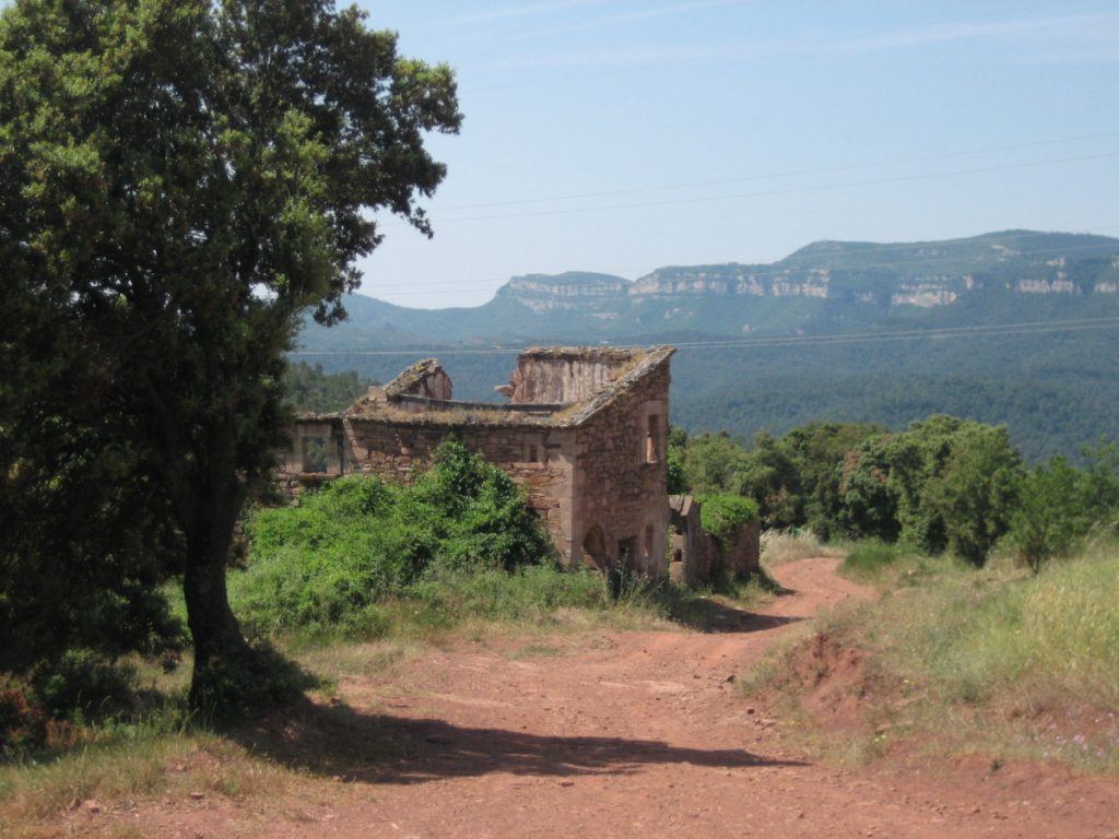
-3h15 min. 11,2 km. 570 m. Amargosa Fountain. We see a path that leads us to this small building. We go back along the path towards the clearing, go to the right and then to the left along a stony path. We reach a track that we turn right downhill.
-3h35 min. 12,5 Km. 400 m. We reach an asphalted track that we take to the left. After a few metres, turn right and go down some concrete steps, following the Matagalls-Montserrat markings. Cross the Avencó stream over a bridge and enter Aiguafreda. Take Avencó street to the left, turn left along Paseo Cataluña, and then right along the Ribes road. We reach a roundabout with a monolith (GR 5 and 2) and turn left. Cross the Abella bridge over the Congost river. We are in the Calle Mayor, turn right into the Calle de la Estación and left into the Calle de las Cadenas. Turn right along Carrer del Tagamanent, left along Puigfred, and cross the tracks.
-3h50 min. 13,4 Km. 416 m. Sant Martí de Centelles RENFE train station.
Don't miss any adventure in the Pyrenees!
