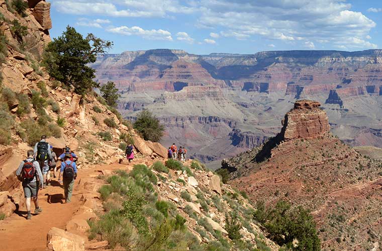
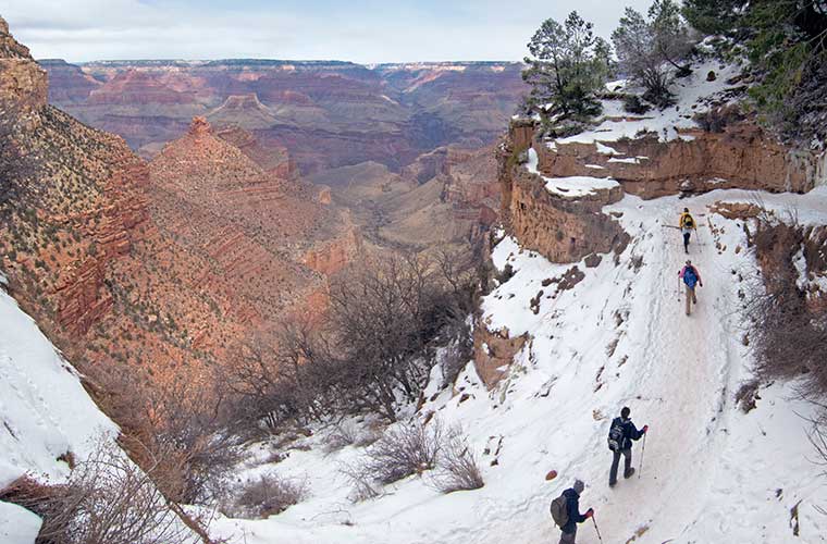
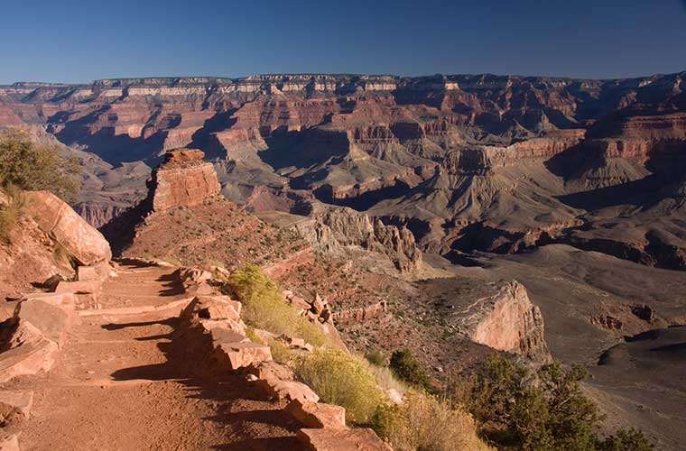
Hiking in the Grand Canyon of Colorado

If you go to travel to the Grand Canyon, in northern Arizona, USATo truly experience the grandeur of the place, a good idea might be to hiking up from the cuttings and down to the river.
READ ALSO: The best trekking routes in the USA "
The route from the canyon rim to the valley floor, and then back, can be carried out by most people who are relatively fit and able. -for any neophyte hiker. It is a multi-day trek but you don't need to be an athlete to complete it successfully.
It can take an experienced hiker a day to get to the bottom and back, but if you have the time - sometimes in short supply on our trips - try to plan your hike for three or more days. You'll get the most out of the experience, no doubt.
To plan the route, you can read some of the many books available on hiking in the Grand Canyon. There are also videos/DVDs available and any of these resources will help you get an idea of the best trail for your visit to the Grand Canyon.
No products found.
No products found.
If the trek you have in mind is not a circular trek, you will be asked to consider the problem of where to leave your car; or more importantly, how to get back to your car if you start from the canyon on, say, the south rim, and your car is parked on the north rim. The distance from the south rim to the north rim is only about 16 kilometres as the crow flies, but it's a 350 km drive! Some hikers exchange car keys with a group walking in the opposite direction. If you don't consider this option, public transport will return you to your point of origin.
You can choose between a guided tour of the Grand Canyon or a self-drive tour. If you choose to go on your own, don't forget to take a good map. There are many different maps available, so make sure your map covers the trails you want to walk plus the campsites.

When to go to the Grand Canyon
Let's start with when not to hike the Grand Canyon! June, July and August are scorching hot and should be avoided. The north side and all facilities are closed from mid-November to mid-May. The most pleasant time of year to hike the Grand Canyon is mid-May to early June and late September to mid-November.. An advantage of trekking in spring is that the bottom of the canyon is covered with beautiful wild flowers.
Which route?
From the north side, the only road that leads to the bottom of the canyon is the route North Kaibab Trail. There are approximately 21 kilometres from the northern side to the Bright Angel Campground and the path descends some 1,400 m. Water is available. From the south side, we have the route South Kaibab Trail which is 9 km long and descends 1,400 m, or Bright Angel Trail which is 15.6 km long and descends 1,300m. There is water in Bright Angel Trailbut there is no water in South Kaibab -take this into account-.

Due to the lack of water and the steepness of the slope, it is recommended to South Kaibab as a descent route instead of tackling it on the ascent.
For hikers who choose to walk from the south rim to the canyon floor before returning to the south rim, this is a good option. down the path South Kaibab Trail and return along the path Bright Angel Trail.
Mountaineers who wish to bring a tent, sleeping bagThe food, cooking equipment and food along with their drinking water, trekking clothes extra and other items can be accommodated in any of the camps. For those hikers who prefer a little more comfort at the end of the day, Phantom Rancha historic National Park lodge built in the 1920s, is located on the banks of the creek. Bright Angela tributary of the Colorado River. They serve simple but hearty meals and this is a great place to relax before the climb to the top rim of the canyon and the conclusion of your Grand Canyon tour.
Don't miss any adventure in the Pyrenees!

