Route of the Cathars (Cami dels Bons Homes): Following the history of the Cathars
![Bellver de Cerdanya / Photo: MARIA ROSA FERRE [CC-BY-SA-2.0].](https://travesiapirenaica.b-cdn.net/wp-content/uploads/2019/05/Bellver_de_Cerdanya_by-MARIA-ROSA-FERRE-CC-BY-SA-2.0_800x600.jpg)
Pyrenees and mountains 📩
Here 🔥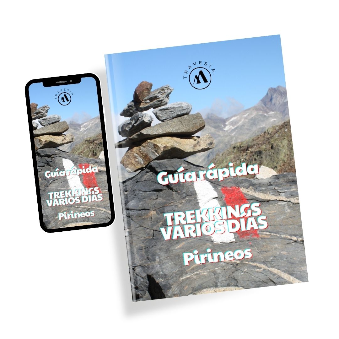
Quick guide TREKKING SEVERAL DAYS in the Pyrenees
with everything you need to know before undertaking a multi-stage circular route.
Cami dels Bons Homesalso known as the Way of the Good Men, is part of the Pyrenees crossing, which is a mountain route where nature lovers live unforgettable experiences, being able to enjoy a wide range of activities and services offered to travellers or seasonal visitors who cross any of its different routes, whether for climbing, walking, trekking, hiking or cycling.
You may be interested in: Discover the most emblematic circular hiking routes in the Pyrenees".
The route of Cami del Bons Homes
In this kind and grandiose route of Cami dels Bons Homes, an itinerary through the long paths that the mountain offers us with an approximate of 200 kilometres that cross different towns, cities and even European countries, paths that were used centuries ago and that were travelled by colonisers and evangelists of different times.
Nowadays these legendary trails are part of the routes to be travelled in the mountains, which can still be travelled on foot, on horseback and even on bicycles that are adapted to this type of mountainous terrain.

How to get to the start of the route?
The best thing is that this route of Cami dels Bons Homes, you walk it with guides and people who know the place, so they can also tell you the great history that keeps the road, however, if you decide to do the route on your own, do not forget to have the map of all the mountains, so you can decide which route to take and how many kilometres to go, because this great mountain route is very coarse and long.
This route starts at the Sanctuary of Queralt, so you must get there to start. To reach this place you can do it by car, taking the road from the entrance to the north of Berga, where you will arrive at the foot of the Sanctuary, where you will find a parking area. If you take public transport, this does not get you completely close, as its stops can leave you at three points (Camino de las Capillas - de la Obaga - San Pedro de Madrona), at any of these three points you must walk for approximately 50 minutes to get to the Sanctuary.
Trekking by stages in the Cami dels Bons Homes
The villages in the area of the Cami dels Bons Homes lend themselves to trekking, as they offer a wide range of attractions, accommodation, information, routes, guided tours of the mountains and means of transport for you to explore all its regions, which is why this route has been divided into stages of the route of the route of the Cathars. The stages are:
- Stage 1: Queralt - Gósol (A 37 km long road). Known for being a place of lustful inhabitants and heretics. The terrain is very varied with many slopes that make the walk difficult, there you will be able to appreciate an old mine and you will have the river Aigua de Linars for company.
- Stage 2: Ascent of Pedraforca. This is a mountain considered magical and esoteric, with a beautiful meadow and a red forest to admire. It starts with a steep descent, but then the climb doesn't have to wait.
- Stage 3: Gósol - Bagá. And the ascent does not end, as you have to reach 1920 metres to reach the Font de Terrers and the Collel, where you follow a path full of nature and cows that will lead you to the Font Nostra, a place where you can refresh yourself and rest before starting the descent.
- Stage 4:Bagà - Bellver de Cerdanya. This path leads you to the Sant Jordi refuge. It is a fairly long route but with a stable terrain, as it is made of asphalt, which allows you to walk without any problems. The Cerdanya Valley and the Pyrenees are in the background, until you finally reach the Cortals hut.
- Stage 5: Bellver de Cerdanya - Porta. This is a route of 39 kilometres, fortunately it is quite comfortable, as the road is asphalted at least up to the area of Talltendre. It is advisable to take a good rest on this stretch, and there are good places to stay in the area.
- Stage 6: Porta - MerenÇ Les Vals. This is the toughest part of the route, the descent starts on a path that is not very easy, at the beginning there is a big climb that extends for 500 metres, there are many slopes, but you will be accompanied by the river Arieja.
- Stage 7: MerenÇ Les Vals - Chioula hut. Here you can rest in the refuge, where you can get some sleep and take a shower.
- Stage 8: Chioula Refuge - Mont Segur. The end of the run is smoother, there are no slopes and the path is much more stable. Here you will reach the Pla dels Cremats and the castle, which when you see it, you will not imagine how anyone could have thought of building a castle there.
These stages are long routes, but they are worth knowing, there are services with longer or shorter stages, which vary in cost and route.
Winter variant of the route
In winter the route has to change, as all the stages are usually not enabled, so the route is modified in one section:
From Bellver de Cerdanya in Guils de Cerdanya: This is a winter variant made to avoid taking the Portella Blanca path. Taking this detour can make the route a little more complicated as it becomes more extensive. This path has slopes that will take you to an altitude of 2,514 metres, which places walkers at the highest point of the route, and although it is a safer route for the winter, you will still find thick snow on the ground that slows down your walking speed.
This detour involves a change in the itinerary where you can skirt the Puigpedrós massif and pass through the villages of Ordèn, Éller, Meranges and Guils de Cerdanya, using this last point as a resting place.
Fastpacking is not about going faster. It's about going lighter.
If you come from classic trekking, this is the next step: learning to move with less weight,
more fluid and enjoying every kilometre more.
Join the Outsiders Newsletter and start discovering what lightness feels like.