Pass'Aran: 5 days of trekking in the heart of the Pyrenees between Vall d'Aran and Ariège
![By AlbertRA [CC BY-SA 4.0 (httpscreativecommons.orglicensesby-sa4.0)], from Wikimedia Commons](https://travesiapirenaica.b-cdn.net/wp-content/uploads/2018/07/Fita_al_coll_dAraing_by-By-AlbertRA-CC-BY-SA-4.0-httpscreativecommons.jpg_760x500.jpg)
Pyrenees and mountains 📩
Here 🔥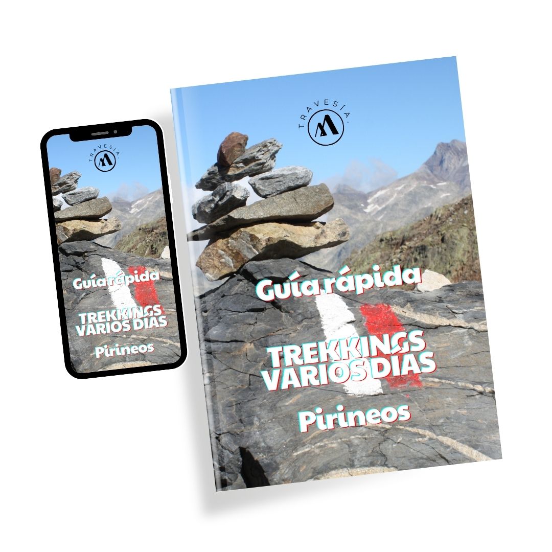
Quick guide TREKKING SEVERAL DAYS in the Pyrenees
with everything you need to know before undertaking a multi-stage circular route.
The Pass'Aran is a hiking route circular route that allows you to enjoy some of the most attractive elements of the northern part of the central Pyrenees, including some of its most outstanding natural attractions such as lakes and cols, and also has options to add complexity and reward with some high mountain challenges; here we summarise what it consists of, as well as some particular recommendations to take advantage of its greatest virtues.

The Pass'Aran
This is a medium-difficulty route, so it is not accessible for everyone, since it requires good physical condition and experience is also recommendedAlthough the basic route does not involve too many technical difficulties, alternative ascents are also available as an option, some of which require greater skills and mountaineering equipment. They are about 72 km -a little bit more if you choose to add some of the optional climbs and sections - with more than 11,000 metres of accumulated height gain. Although there are sporting options to cover it in a short time, the recommended walking route is for a short time. 5-day tour. The circular route is located between the Val d'Aran and the French region of Ariège. You can start the route at the Amics de Montgarri hut (Val d'Aran) or at one of the French huts, with the exception of Estagnous.
What you need for the Pass'Aran
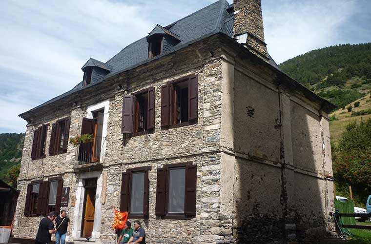
The cheapest way is to buy the Pass'Aran ski pass for the whole route in Montgarri, although if you prefer you can call each mountain hut directly and make individual bookings. Also bear in mind that the mountain refuges - including Montgarri - are not open all year round, the main seasons are from mid-May to October, although this also depends on weather conditions. Regarding the team it is recommended to carry at least sleeping bag -A sleeping bag is an option, although mattresses and blankets are available in the refuges. Good sunscreen and sunglasses will help, as will good trekking boots that you are used to, and that are flexible but sturdy. The crampons y ice axe will be necessary if you want to tackle any of the high mountain sectors, for which you will of course need basic technical skills. Bear in mind that this is a natural route that does not cross roads or towns, so you will need to be able to you should carry all the necessary provisions in your backpack.In this sense, it is a good option to book half board or full board, the main difference being an extra picnic during each day, although both include breakfast and dinner. Of course, a map is a must, as well as the experience to interpret it, although you shouldn't be without a good camera to make sure you don't miss any of the spectacular views you'll find along the way.
The Pass'Aran stages
Below we describe a little more about the stages, in a route that starts in this case at the Montgarri Refuge.
Montgarri - Estagnous
From this first stage you will begin to feel the rigour of a hiking route of this type in your legs, as the greatest demand is not in the distance, but in the gradient, and even more so if you opt for one of the two available alternatives, the Tuc de Milh or the cabbage from BarlonguèraThis is highly attractive, as it is not only a ridge that separates the two sides of the Pyrenees, but also offers spectacular views of both sides.
Here you can also start to enjoy some of the most important the most beautiful lakes of the PyreneesSome of them are hidden like treasures inside imposing mountain areas. The basic route is 11 km long, and will take you 6 to 8 hours at a walking pace to reach the Estagnous refuge; to identify it you can follow the GR Transfronterizo signposting.
Estagnous - Maison du Valier
As this is a stage that is mostly downhill, it is a good option to choose the additional route to crown the Mont ValierThis represents a climb of about 600 metres to reach 2,800 metres above sea level, the second highest point on the route. After the descent, you will cross spectacular areas of rivers and small waterfalls, as well as going around the lake. Milouga in an area of large boulders that were once a glacier. There are in total a little more than 10 km to walk in between 5 and 7 hourspaths that converge with the GR10 and the Chemin de la Liberté.
Du Valier - Gite d'Etape d'Eylie
In this stage you will be discovering beautiful areas of fern forest and open mountain fields where it is not uncommon to see grazing animals. This is a longer route, of almost 17 km that will take you from 8 to 10 hours walking in normal conditions. You will inevitably pass through two ascents, although without technical complications, and it is also a balanced stage, although with the greatest accumulated difference in altitude of the whole route.
Gite d'Etape d'Eylie - l'étang d'Araing
It will be a day of ascent, again over 2,000 metres through a mining trail in a legendary area of abandoned mines.
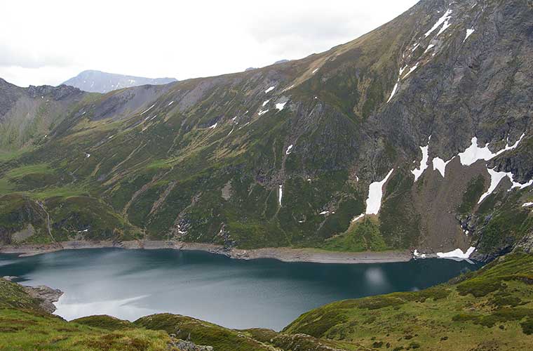
It is the shortest stage, about 7 km you can do in 4 - 5 hoursoptionally - and if you are still feeling fit - you can also climb up the Crabère PeakThe hike ends at the Refuge de l'étang d'Araing, in front of the beautiful lake of the same name.
L'étang d'Araing - Friends of Montgarri
A tough stage to exhaust the remaining energies, they are almost 20 km and 7 to 9 a.m. of route through wild medium and high mountain terrain, with the great optional attraction (340 m of extra vertical drop) of the MaubermeThis is also the highest point of the hiking route.
If you choose to climb the Mauberme, you will then make a descent to the lake of MontoluiThe route continues descending until it returns to the Val d'Aran and ends the adventure at the Amics de Montgarri hut. READ ALSO: