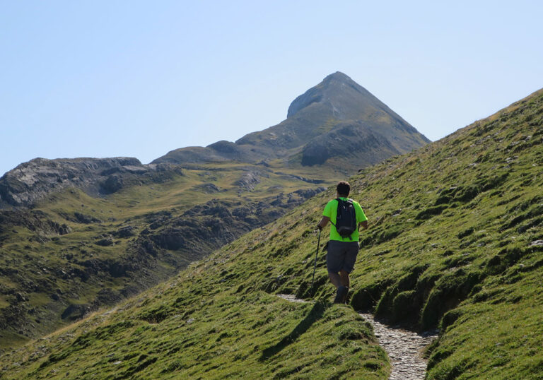
Tour of the Aneto
Quick guide to TREKKING SEVERAL DAYS in the Pyrenees with everything you need to know before...
Quick guide to TREKKING SEVERAL DAYS in the Pyrenees with everything you need to know before...
Circular to Punta Alta (3,014m) from the Cavallers reservoir. Ascent through the Comalesbienes reservoirs and descent through the Colieto valley.
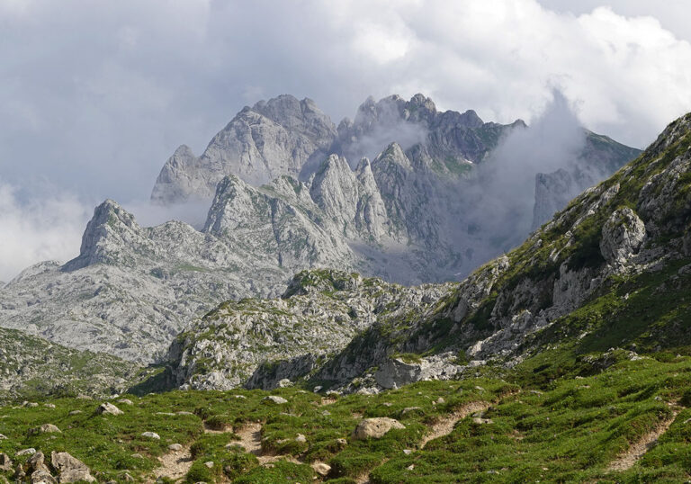
Ascent to Peña Santa de Enol or Torre de Santa María from Pandecarmen. Ascent via the Corredor del Marqués and descent via the Grieta Rubia.
Circular route to Peña Corva + San Mamés + Alto de San Lázaro. Ascent from Baíllo and descent to Quintanalacuesta.
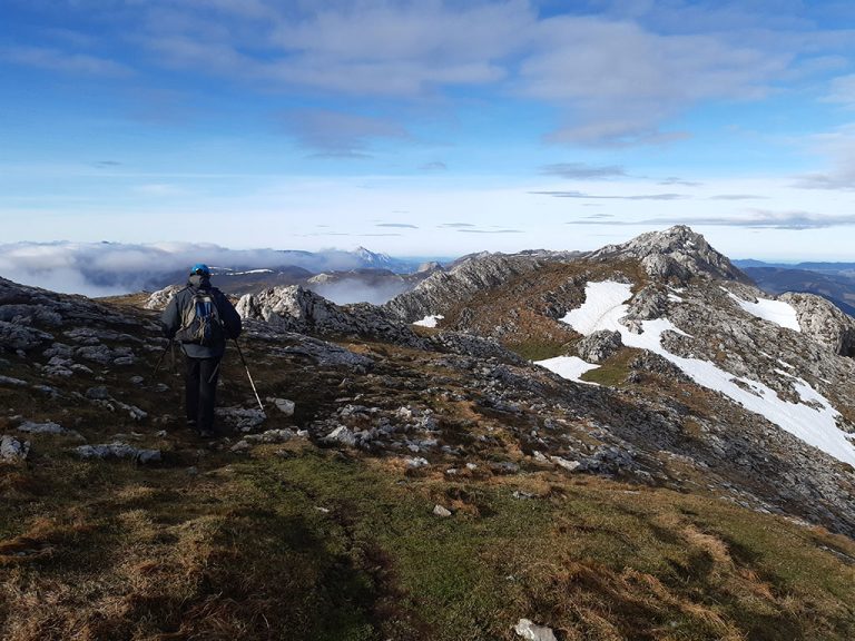
Circular route to Petrechema from Linza. Ascent via the Linza pass and descent via the Foyas del Ingeniero. 5-6 hours; 13.5km; +/-1050m.
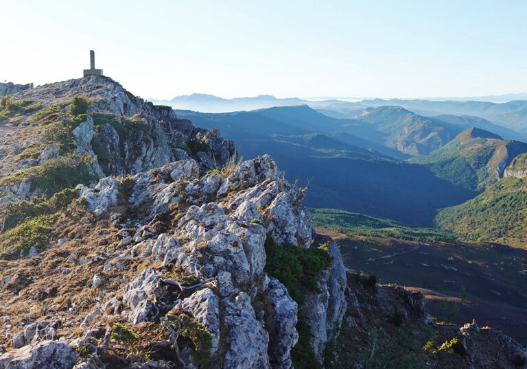
Circular route to Castro Valnera with ascent to Cubada Grande from Cabañas de El Bernacho.
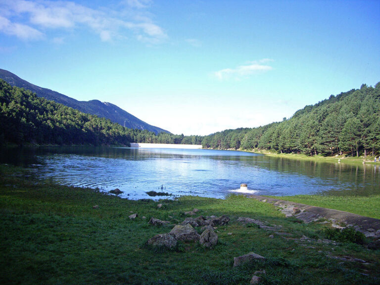
The lake of Engolasters is a beautiful place, ideal for walks, which hides under its dark waters a dark past. Don't you know the legend of the lake of Engolasters?
Circular ascent of Cuchillejo (934m), the top of the province of Valladolid, from Castrillo de Duero.

Are weather warnings and alerts the same thing? What is the Avalanche Danger Bulletin like? What are the risks in the mountains?
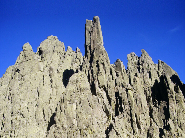
The first ascent of Torreón de los Galayos was made on 14 May 1933 on the west face by the "peñalaros" Teógenes Díaz and Ricardo Rubio.
Let's stop the project to link the ski resorts of Astún and Formigal by destroying Canal Roya.
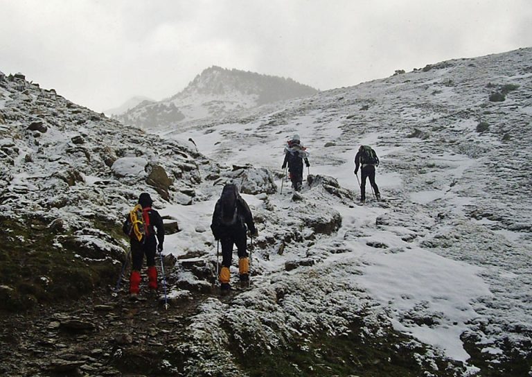
The practice of mountain sports activities in winter, whether hiking, snowshoeing, skiing or mountaineering, entails an added series of risks that we must be aware of.
Borreguil or Belbún (1,424m) is the highest peak in the Illón mountain range, on the border between Navarre and Zaragoza. We climb this peak following a circular route that is different from the most common.
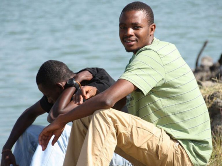
Fredy Mmary, originally from Moshi, a small town in the foothills of Kilimanjaro, climbed more than 70 times to the African summit during his four-year stint as a porter.
Circular route to the Cebollera / Tres Provincias, Cuchar Quemado and Cebollera Nueva from the pass of Somosierra via the waterfall of Los Litueros and the Dehesa Bonita de Somosierra. [5h10min; 19,4kms; +/-1015m].
Circular ascent of Txamantxoia and Lapakiza Linzola from Belagua (Mata de Haya). [20,5kms; +/-1.730m; 7 hours].
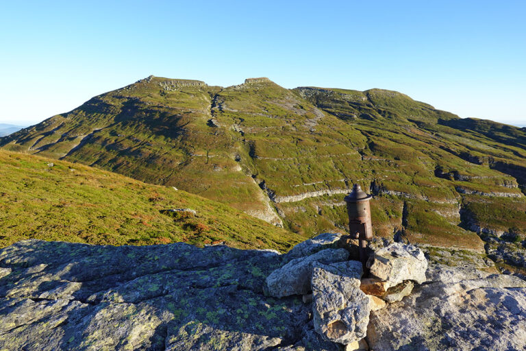
Is the Arnales peak a tresmil or is it missing a few centimetres? The answer in this article. We analyse the keys.
Circular route from Araia to 7 of the main peaks of the Sierra de Altzania: Albéniz, Umandia, Allaitztxiki, Allaitz, Imeleku, Aratz and Argorri.
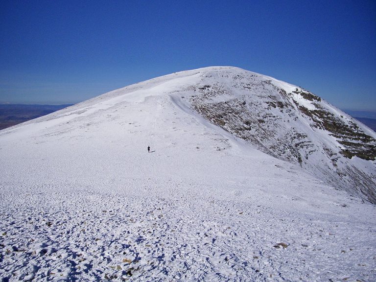
Circular ascent of Moncayo from the Fuente de los Frailes, passing through the Alto del Corralejo and Peña Negrilla.

The southwest of the Iberian Peninsula treasures a geography that hides incredible places, natural wonders, many of which have yet to be discovered by the general public.
Ascent to Punta Escarra y Balsera/Hombro de Escarra from Canfranc. 20,2kms; +/-1.980m; 10 hours; PD-.
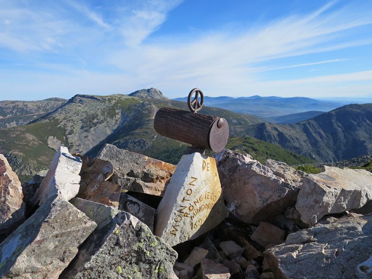
Circular ascent from Ladrillar to Cerro Rongiero (1,622m), the top of the Hurdano. Ascent via the Portilla del Samoral and return via the Piquito del Moro and the Alfonso XIII route.
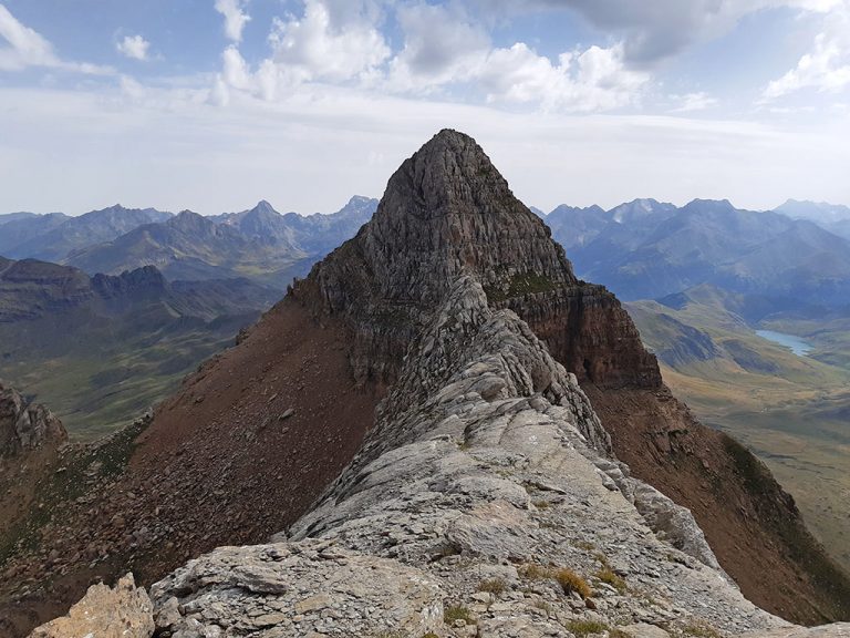
Agüerri from Gabardito. Practically circular route that covers the Peñas de Agüerri (Puntal de Valencia, Peña Agüerri and Agüerri) and Costatiza.
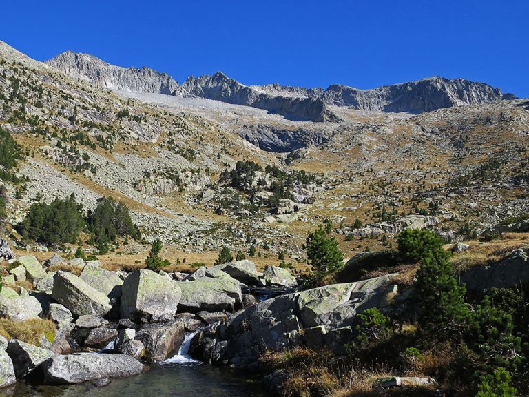
The Peguera peak is one of the great summits of the P.N. of Aigües Tortes i Estany de Sant Maurici. Ascent via the Josep María Blanc refuge and descent via the Ernest Mallafré refuge.
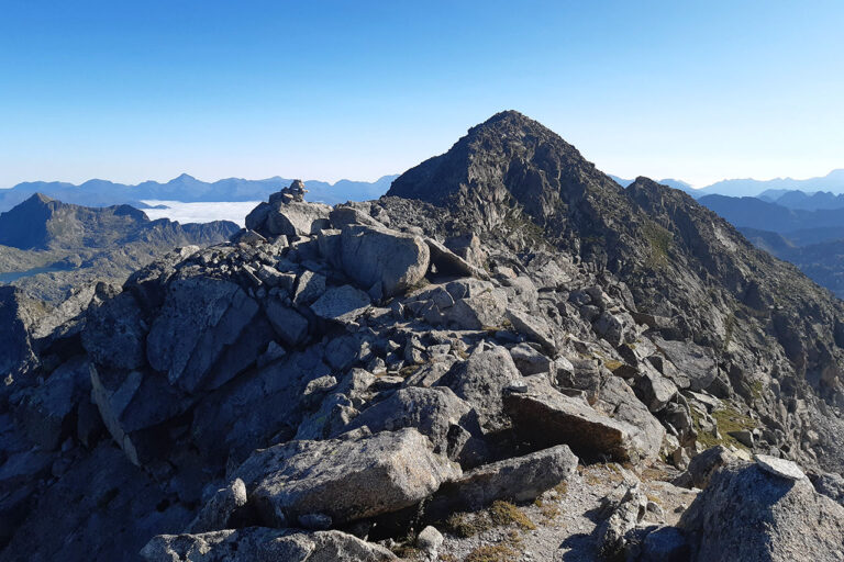
Circular ascent of the Pala de Ip, peak of La Tronquera and La Moleta from the col de Ladrones. Distance: 20.3kms; Elevation gain: 1,840m; Time: 9-10 hours; Difficulty: uncomfortable runner with grade II steps.