Pirineos y montaña 📩
Aquí 🔥Cavalls del Vent (4-5 días)
Cavalls del Vent es la travesía circular oficial del Parque Natural del Cadí-Moixeró. Constituye una de las travesías indispensables para los amantes del senderismo y pasa por los 8 refugios del parque.
Cavalls Del Vent es una ruta circular de senderismo por el espectacular Parque Natural del Cadí-Moixeró, en el Pirineo catalán, de unos 80 km y 5.000 metros de desnivel. Normalmente se suele recorrer en 4 o 5 etapas, sin embargo, los 8 refugios por los que pasa la ruta permiten dividir las etapas al gusto de cada uno.
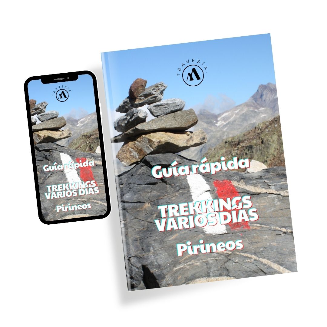
Guía rápida TREKKINGs VARIOS DÍAS en los Pirineos
con todo lo que debes saber antes de acometer una ruta circular de varias etapas.
(Este video de Mundo Baca creo que puede ser un buen aterrizaje si estás buscando una ruta de varios días por el Pirineo para este verano).
📋 Descripción de la Ruta
| Cavalls del Vent en datos: |
| Distancia: 76,3 km Desnivel: +/- 5.000 m Duración: 4-5 días. Número de Refugios: 8 |
El punto de partida y el sentido de la ruta es libre. El sendero transita por cotas que van desde los 900 a los 2.520m, salvando un desnivel total acumulado de 5.000 m. La ruta está marcada por completo con pintura naranja.
Te puede interesar: Descubre las rutas circulares más emblemáticas de los Pirineos >>

Etapas Cavalls Del Vent
El recorrido se puede realizar por libre reservando individualmente en cada refugio, o a través de la web oficial de Cavalls del Vent y hacer una reserva conjunta en todos ellos. La acampada libre y el vivac están prohibidos según la normativa del parque.
El inicio y el sentido de la ruta es libre pero, tened en cuenta que a los refugios Lluís Estasen, Gresolet, Rebost y Serrat de les Esposes se puede llegar en coche.
Como decíamos, los 8 refugios permiten una distribución de las etapas al gusto de cada uno. Estas son las distancias y desniveles entre cada uno de ellos en sentido antihorario.
| Del refugio de… | al refugio de… | Distancia | Desnivel |
|---|---|---|---|
| Gresolet (1280m) | Sant Jordi (1565m) | 16 km | +1.010m /-670m |
| Sant Jordi (1565m) | Rebost (1540m) | 13 km | +940m /-865m |
| Rebost (1540m) | Niu de L’Àliga (2510m) | 7 km | +880m / -0m |
| Niu de L’Àliga (2510m) | Serrat de Les Esposes (1511m) | 16 km | +360m / -1.450m |
| Serrat de Les Esposes (1511m) | Cortals de L’Ingla (1610m) | 4,7 km | +200m / -100m |
| Cortals de L’Ingla (1610m) | Prat D’Aguiló (2010m) | 11 km | +830m / -320m |
| Prat D’Aguiló (2010m) | Lluis Estasen (1640m) | 12,5 km | +470m / -810m |
| Lluis Estasen (1640m) | Gresolet (1280m) | 4 km | +100m / – 570m |
Cavalls del Vent en 4 etapas:
| Del refugio de… | al refugio de… | Horario | Distancia | Desnivel |
|---|---|---|---|---|
| Lluis Estasen (1640m) | Sant Jordi (1565m) | 6h | 20 km | +1.100m /-1.200m |
| Sant Jordi (1565m) | Niu de L’Àliga (2510m) | 7h | 20 km | +1800m /-860m |
| Niu de L’Àliga (2510m) | Cortals de L’Ingla (1610m) | 6h | 21 km | +560m / -1.550m |
| Cortals de L’Ingla (1610m) | Lluis Estasen (1640m) | 7h | 23 km | +1.300m / -1.150m |
Cavalls del Vent en 5 etapas:
| Del refugio de… | al refugio de… | Horario | Distancia | Desnivel |
|---|---|---|---|---|
| Gresolet (1280m) | Sant Jordi (1565m) | 6h | 16 km | +1.010m /-670m |
| Sant Jordi (1565m) | Rebost (1540m) | 5h | 13 km | +940m /-865m |
| Rebost (1540m) | Cortals de L’Ingla (1610m) | 7h30min | 23 km | +1.240m / -1.450m |
| Cortals de L’Ingla (1610m) | Prat D’Aguiló (2010m) | 6h | 15,7 km | +1.030m / -420m |
| Prat D’Aguiló (2010m) | Gresolet (1280m) | 5h30min | 16,5 km | +1.470 / -1.380m |
Preparación para la Ruta
Estudia el recorrido, los tiempos entre refugios, la previsión meteorológica, posibles escapes, altura de los collados, fuentes, etc. Un mapa puede serte útil en todo esto y para orientarte durante la ruta. Llevar GPS es recomendable.
- Equipo Esencial:
- Mochila de 30-40 litros
- Ropa adecuada para cambios de temperatura
- Calzado de trekking
- Saco de dormir ligero
- Bastones de trekking
- Kit de primeros auxilios
- Linterna frontal y baterías de repuesto
- Documentación y Mapas:
- Mapa detallado de la ruta
- GPS o aplicación de mapas offline
- Hidratación y Nutrición:
- Lleva suficiente agua y snacks de energía.
- Aprovecha las comidas en los refugios para recargar energías con platos locales.
- Seguridad y Orientación:
- No subestimes el clima de montaña; prepárate para cambios repentinos.
- Utiliza la señalización de la ruta y confirma tu camino con GPS o mapas.
Cuál es la mejor época para hacer la ruta:
La temporada más apropiada para realizar este trekking va desde comienzos del mes de junio hasta finales de septiembre, aunque depende de cada temporada. A principios de junio puede haber nieve.
Algunas notas y claves del Trekking
- Mirador del Gresolet:
- Disfruta de vistas impresionantes del Pedraforca y el Parque Cadí Moixeró.
- Primeros kilómetros son una excelente introducción a la belleza del paisaje.
- Refugio Lluis Estasen:
- Ideal para pasar la primera noche y ambientarse al trekking.
- Ofrece comidas calientes y un ambiente acogedor.
- A través de los Bosques y Gargantas:
- Etapas que atraviesan paisajes cambiantes, desde densos bosques hasta gargantas rocosas.
- Oportunidad para avistar fauna local y disfrutar de la tranquilidad del entorno.
- Paso por Diversos Refugios:
- Cada refugio tiene su propia historia y peculiaridades.
- Planifica tus paradas para comida y descanso en estos puntos.