
Two-day circular: Lizara - Ibón de Estanés - Candanchú - Lizara (Valles Occidentales and Alto Valle del Aragón)
Pyrenees and mountains 📩
Here 🔥This circular route of two days runs through the heart of the Western Valleys Natural Parkin the Aragonese Pyrenees, linking some of its most emblematic spots: the Lizara mountain refuge, the Sarrios Valleythe Estanés Laketo return to Lizara following the GR11. It is a demanding but affordable route, ideal for hikers with moderate experience or varied groups looking for a weekend hike. The logistics are simple (start and finish in Lizara, with the option of an intermediate overnight stay in Candanchú) and the scenery is spectacular: from green valleys and high mountain forests to glacial lakes and high mountain panoramas.
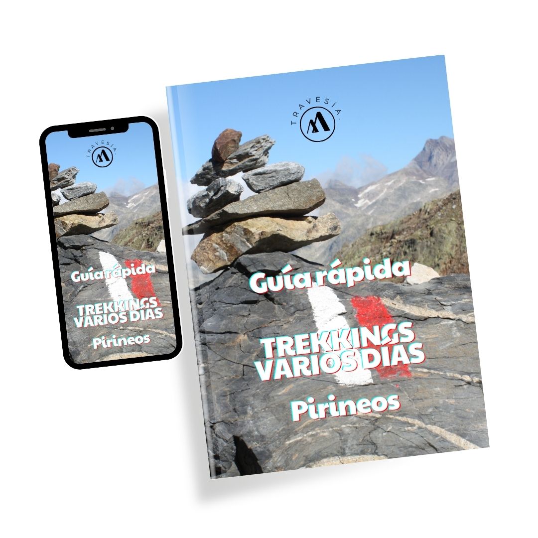
Quick guide TREKKING SEVERAL DAYS in the Pyrenees
with everything you need to know before undertaking a multi-stage circular route.
Few routes of two days offer a circular route so complete. On this route you can enjoy the tranquillity of little-travelled spots (such as the solitary Valle de los Sarrios) and Pyrenean icons such as the Ibón de Estanés. Except for the short stretch along the ski slopes of Candanchú, the sensation is of a remote mountain for most of the route.
Technical sheet (Circular route 2 days)

Day 1: Lizara Refuge - Ibón de Estanés - Candanchú
(Note: Please keep in mind the difference in altitude as stated in the technical data sheet).
Factsheet (Day 1)
Description of the route stage 1
The route starts at the Lizara Hut (1,540 m)in the valley of Aragüés del Puerto. We take the well-marked path that starts behind the refuge, which at first coincides with the GR11 on the way to Foraton, but in a few minutes it becomes unlinked, initially following the markers that share the Senda de Camille. After a few minutes of ascent through scrubland and woodland, the path takes us to a small shepherd's hut, the Oldecua shepherd's hut (1.2 km from the start). From there the path (green-yellow markings) gains height. As we climb, views open up towards the Bisaurín massif (to the west) and the Sierra de Bernera (to the north) which dominate the landscape. The terrain here is a stony but clear path, but you can't get lost.

At around km 3-4 of the route, after passing by a second forest refuge, we reach an extensive high mountain plain known as the Plana Mistresa o Paul de Bernera (1.850 m). This plain is an alpine meadow surrounded by limestone walls, which marks an important crossroads: be careful not to get confused on the way here. We must turn to the right (north-east) to get into the Sarrios Valley towards Estanés, and no continue straight on up the valley (this front path leads to the Collado del Foratón, the route up the north face of the Bisaurín). Taking the correct path towards the Sarrios Valley, the slope becomes steeper again: we go up the Mistresa Plain through grassy and increasingly clear terrain, until we finally reach the Bernera Pass (2,140 m)The highest point of this stage.

This pass is a wide mountain pass that connects Aragüés (Spain) with the Aspe valley (France). From here we can see on the other side the beginning of the Sarrios ValleyA hanging valley of glacial origin that extends in height. After the effort of the climb, the route now continues over much more difficult terrain. comfortable and flatThe trail crosses the valley in a gentle descent. The path, well defined on the grass, follows the valley. de los SarriosIt is flanked by rocky walls on both sides, and there are frequent sightings of the Rupicapra on the slopes.
Ibón de Estanés (1,754 m), a glacial lake nestled between alpine pastures on the Spanish-French border. The final stretch of the Sarrios Valley leads us to the long-awaited Ibón de Estanés (1,754 m). At the end of the valley, the route descends along a stony channel to go around a rocky spur, leaving us practically on the banks of the lake. On this descent to the lake is where we find the slabs of polished rock (slabs) which, in rain or humidity, can be very slippery, so extreme caution is recommended at this critical point. Little by little the Ibón de Estanés appears before us, a large lake of glacial origin whose blue-green waters contrast with the surrounding meadows.

We skirt the southern shore of the lake along the well-marked path (leaving the lake to our left) and, after a short climb, we reach the Estanés Pass (1,792 m)A grassy pass located to the east of the lake. The path, always obvious, shares the route here with other routes that go down to the Sansanet car park, in French territory. Attention! As we start the descent from the Puerto de Estanés, approximately 1.4 km further on, we must be on the lookout for a well-marked turn-off to the right (Senda Camille green-yellow markings) that separates our route from the main path to Sansanet. We turn right to keep to the circular route (Senda Camille) in the direction of Candanchú, avoiding descending straight on towards the French road/border.
From this turn-off, the path turns south-east and enters a dense forest. Sansanet Forest (approx. 1,600 m), a beautiful beech forest belonging to the Parc National des Pyrénées. We walk a few kilometres halfway up the slope through the beech trees, descending slightly and skirting the headwaters of the Aspe valley. The environment is humid and shady: you will find several streams that cross the path and even a small waterfall (la Chorrota de Aspe). The path in Sansanet is well marked and signposted, but it is important to follow the markings, especially where it briefly leaves the forest: there is a stretch where an old landslide forced the route to be diverted, although it is signposted to go around the unstable area. After this point, the path goes back into the beech forest for the last time.
On leaving the Sansanet forest, we face the LAST CLIMB of the day, short but remarkable after many kilometres covered. We gain about 20-30 minutes of ascent through meadows to reach the Causiat pass (1,630 m)This is the border crossing back to Spain and the entrance to the first ski slopes of Candanchú. From this pass you can already see the winter resort of Candanchú down in the valley. There is only one more easy descent approximately 1 km along the resort's tracks and paths (about 80 m of negative difference in altitude) until you reach Candanchú (1,550 m)end of the stage.
Key points of the day (orderly summary):
- Lizara Hut (1,540 m) - Start of stage; drinking water available.
- Oldecua shepherd's hut - Small shepherd's hut 1.2 km from Lizara.
- Plana Mistresa / Paul de Bernera - Alpine plain; turn off to Valle de los Sarrios (watch out for the fork!).
- Bernera pass (2,115 m) - Roof of the route; natural border and entrance to the Sarrios Valley.
- Sarrios Valley - Hilly valley at 2,000 m, comfortable and panoramic section.
- Ibón de Estanés (1,754 m) - Glacial lake; accessed after descending through a wet rocky area (be careful of slabs).
- Estanés Pass (1,792 m) - Pass to the E of the lake; descent towards Sansanet (take the Senda Camille detour).
- Sansanet Forest (1,600 m) - Beech forest with streams and spring; section in France.
- Causiat pass (1,630 m) - Back to Spain; the ski slopes of Candanchú begin.
- Candanchú (1,550 m) - End of stage in the ski resort; hut, hotels and services available.
Day 2: Candanchú - Lizara Refuge (Western Valleys Circular Route)
Factsheet (Day 2)
Description stage 2
The second day of the route connects the station at Candanchú with the valley of Lizarafollowing the route of the GR11 through the surroundings of the Aspe Circus in the western Aragonese Pyrenees.
Departure from Candanchú: The stage begins in Candanchú (1,550 m)The GR11 is a service track of the ski resort, marked with GR11 signs. From the parking area, go up the slopes. (white-red markings visible on poles and rocks) in a south-easterly direction. The route takes advantage of the zigzagging track The path starts at the station and climbs up the slope of Mount Tobazo, steadily gaining altitude. After about an hour's ascent, you will reach the Pastor Pass (1,968 m)From here, looking back, you can see the valley of the Aragón river. From this point, looking back, you can see the Aragón river valley and the many curves of the track you have climbed. Following the GR11 markings, the route continues ascending gently between meadows towards the nearby Tortiellas Pass (1,976 m)another wide pass.

The route bordering Mount Tobazoyou walk past a rudimentary shelter (occasionally used, very basic condition) that could serve as a shelter in case of a storm emergency. Always following the waymarks, the path turns abruptly to the right and shortly after reaches the Tuca Blanca Pass (2,202 m)The highest point of the Candanchú winter resort. This high pass is the end of the piste area: you can see the arrival of a chairlift and the end of the mechanical installations.

Section through the Circo de Aspe: From Tuca Blanca onwards, the route enters more rugged terrain. Leaving the tracks behind, the GR11 continues along a rocky path that descends slightly towards the Aspe CircusA wide glacial cirque hidden among the peaks. The path loses some altitude crossing a secondary pass known as the Table Mountain Pass (2,010 m)after which we reach the head of the cirque. This partial descent prepares for the last big climb of the day: when you cross the grassy plain of the Circo de Aspesurrounded by the imposing limestone walls, you can clearly see at the top the marked Esper pass (2,262 m)The objective to be achieved.
At the bottom of the cirque, next to boulders and high pastures, you will find a stream. From here, the path turns and starts a steep ascent (300 m ascent in 1 km) up the slope leading to the pass. The terrain is stony and sloping; the path zigzags between rock and grass and requires considerable effort.

Section equipped with a towrope at the Oreja Pass, on the ascent to the Collado de Esper. The Oreja Pass runs along a narrow grassy strip suspended over rocky cliffs, whose folded strata resemble the shape of an ear. The final ascent to the Esper pass / Aísa pass (2,262 m) requires good physical condition and the absence of vertigo. With dry terrain and adequate visibilitythe passage presents no technical difficulties beyond the incline, but in bad weather (fog, rain, snow) can become very dangerous for inexperienced mountaineers. In the snowy season It is essential to take extreme precautions or even avoid this route if you do not have the appropriate equipment (ice axe, crampons). When we reach the pass, the landscape changes slope: we are on the border with the Aísa Valley. The views from the Collado de Esper are exceptional.The peaks of the Western and Central Pyrenees to the north (including peaks such as Midi d'Ossau, Balaitús, Vertice d'AnayetThe valleys of Aísa and Aragüés can be seen to the south. It is usually windy at the pass, so it is advisable to wrap up warm before starting the descent.
Descent towards Lizara: From the Collado de Esper we start the descent down the Lizara slopeinto the high valley known as the Ribereta d'o Bozo. The path first descends through rocky terrain, between sloping pastures and some natural terraces. Further on, when you come to some rocky outcrops on the slope, you will come to a handrails installed, which helps to overcome a somewhat exposed rocky pass on the descent. After overcoming this section, the valley opens up and the gradient becomes more moderate. The route continues down the valley, with stretches of path over the valley floor. rocky outcrop (stony ground) interspersed with meadows. It is common to see cattle grazing in these areas. After rounding the slopes of the Napazal Point (2,363 m)the path reaches the Collado del Bozo (1,995 m)a wide grassy hill. Several paths converge here: in particular, the variant GR11.1 turns off to descend through the Igüer valley to Canfranc, but we follow the marks of the GR11 towards LizaraWe continue in an easterly direction. From the Collado del Bozo, the Lizara refuge is already relatively close (about 3.5 km away, all downhill).

The last section The road runs through a gentler environment: the path descends down the Lizara PlainThe path passes next to the river, a high mountain pastoral basin. The path passes next to the Napazal Hut (shepherd's hut) and then follow the course of the Napazal Ravine towards the bottom of the valley. In this area it is possible to find water in the stream during wet periods, although in summer some stretches may be dry. The path widens at the junction with a forest track and eventually leads to the meadows in front of the Lizara Hut (1,540 m)where we concluded the stage.
Key points of the day (orderly summary):
- Candanchú (1,550 m) - Ski resort and starting point of the stage (Refuge Pepe Garcés in the vicinity).
- Pastor Pass (1,968 m) - Small pass in the upper part of Candanchú, next to the resort infrastructures, with views of the Aragón Valley.
- Tortiellas Pass (1,976 m) - Wide pass on the divide; start of the section along the Tobazo mountain inside the ski resort.
- Tuca Blanca Pass (2,228 m) - Highest point within the Candanchú resort, near the arrival of a chairlift and at the end of the slopes.
- Aspe Circus - Isolated glacial cirque, surrounded by prominent limestone peaks (Llana del Bozo, Llana de la Garganta and Aspe); you cross its base where there is a stream.
- Oreja Passage - A very steep and exposed section of path, equipped with a cable (towrope) to aid progression; it is located on the western slope of the Collado de Esper.
- Esper pass / Aísa pass (2,262 m) - Mountain pass between the cirque of Aspe and the Aísa Valley; it offers wide panoramic views of the Central Pyrenees (Midi d'Ossau, Balaitús, Anayet, etc.).
- Collado del Bozo (1,995 m) - Collado at the head of the Aragüés Valley (Lizara); at this point the GR11.1 turns off towards Canfrancbut our route continues descending towards Lizara.
- Lizara Hut (1,540 m) - End of the stage; sheltered refuge (access by track from Aragüés) with drinking water fountain, toilets and accommodation.
Don't miss any adventure in the Pyrenees!