Route through the Collserola mountain range, between the west of Vallès and the east of Barcelona
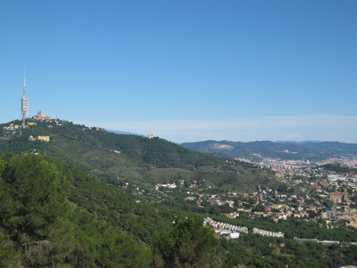
This linear itinerary between two towns linked by public transport allows us to discover the two sides of the mountain range in a single day. The shady inland side dominated by the holm oak and oak woods of the Font Groga nature reserve. And the sunny side with its pine forests and its view of Barcelona.
The Collserola mountain range is part of the Catalan coastal mountain chain.. Its 11,100 hectares are protected as a natural park and are framed by the Besòs river to the north, the Llobregat river to the south, the Vallès depression to the west and Barcelona and its metropolitan area to the east. It is 17 km long and 6 km wide. The relief is modest, with the highest point being Tibidabo, at 512 m. The slope is steep in the eastern part and gentler in the west.
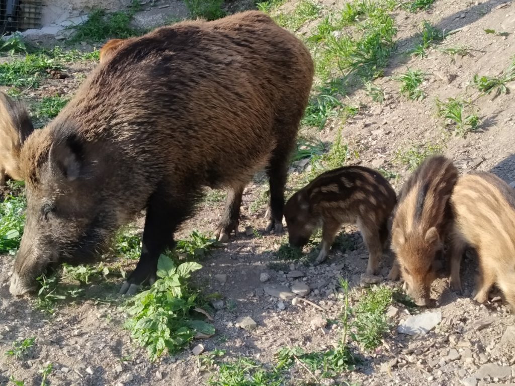
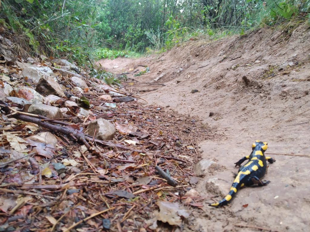
The river network is basically made up of the Vallvidrera stream, a tributary of the Llobregat, and the Sant Cugat stream, a tributary of the Besòs. However, this natural space is criss-crossed by many streams, which, together with the high water retention of the forest cover and the slate soil, means that there are around 200 springs throughout the territory. The vegetation consists mainly of holm oak, oak, strawberry tree, heather, durillo, etc. forests in the shady areas. And pine forests of white pines, stone pines, rockroses, prickly pears... in the sunny areas. There are also well represented the gallery forests of hazelnut trees, alders, elms, ferns... and areas of herbaceous and shrub vegetation with rosemary, gorse, gorse, gorse, grasses... in the stonier and warmer areas. We can still find some crops and farmhouses dedicated to agricultural exploitations. This mosaic landscape means that we have a varied presence of fauna, clearly distributed according to the habitat. Forests with genets, squirrels, wild boars, badgers, jays, hoopoes, blue tits, ladder snakes, salamanders... Open land and crops with foxes, goldfinches, magpies, kestrels, kestrels, ocellated lizards, bastard snakes, common toads, runners and midwives... Aquatic habitats with red-tailed barbels, damselflies, aquatic insects, southern frogs, water snakes... The great availability of food resources in the containers and rubbish bins, together with the absence of predators and the behaviour of some people, has led to a large increase in the wild boar population. It is common to see them in broad daylight and without any fear of human presence.
Summary
We start the route in the town of Sant Cugat in the Vallès region.. The first part of the trail will take us to the Can Borrell farmhouse and then to the first reservoir on the route. After passing the hermitage of Sant Medir, we will enter the most spectacular section of the route, the Font Groga reserve with its lush woodland and the spectacular Salamandra stream. After passing several springs, we reach the hermitage of Santa Maria de Vallvidrera and the second reservoir on the route. We go up the Espinagosa spring stream and gradually enter the sunny area with its white pine and stone pine woods. Accompanied by the views of Barcelona, we finish our route.
Map
Technical specifications
- One-way transport: FGC. Lines S1, S2 and S5. Sant Cugat del Vallès stop.
- Return transport: Metro L5. Pubilla Cases
- Distance: 22.2 km
- Cumulative difference in altitude: + 610 m/ - 609 m
- Duration: About 5 hours and 45 minutes. Not counting stops.
- Difficulty: Medium, duration to be taken into account.
- Water points: In the two towns and in the springs of the hermitage of Sant Medir, Vista Rica, Col de la Vinassa, d'en Canet, Santa Maria de Vallvidrera and l'Espinagosa.
- Recommended equipment: Comfortable clothes, water and some food, sun protection and a walking stick for the climbs.
Itinerary
-0 h. 0 km. 69 m. Sant Cugat del Vallès. We leave the FGC stop and go along Carrer Angel, turn left onto Rambla Ribatallada and continue along Avinguda del Pla del Vinyet.
-0 h. 1.8 km. 115 m. Track. You enter the Collserola natural park. On the left we see the Xandri pine tree. A monumental tree that has been propped up for several years.
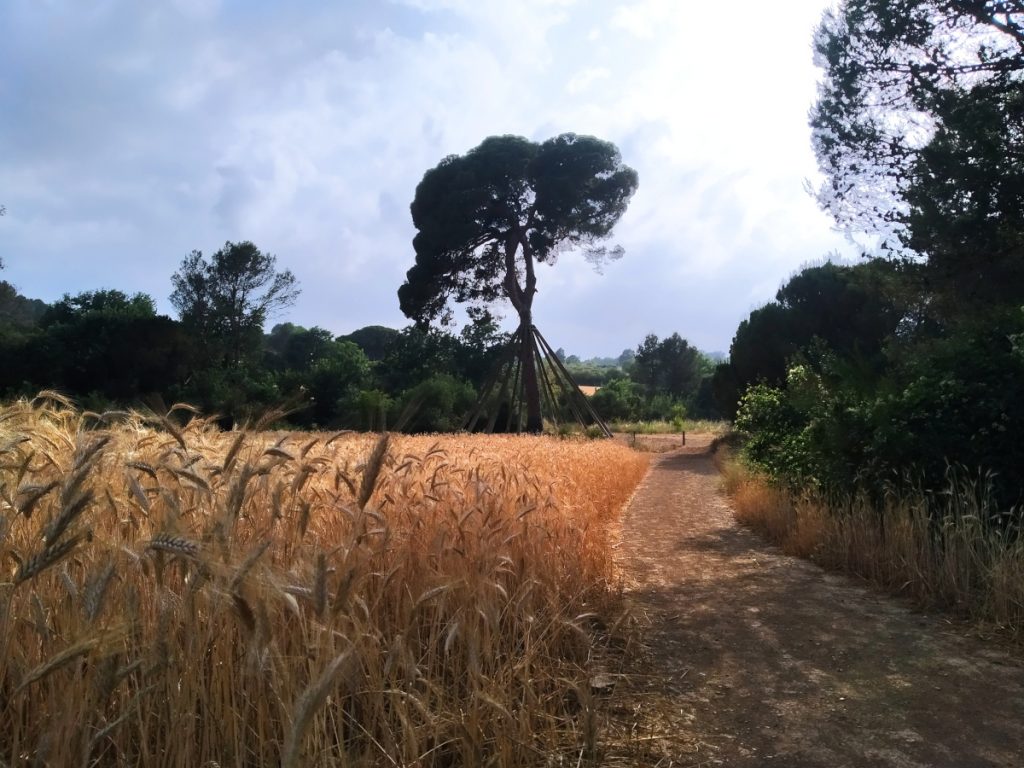
-1 h. 4.1 km. 163 m. Can Borrell farmhouse/restaurant. Surrounded by crops and with an adjacent pond. We continue along the track until we reach a fork, which we take to the left. After a short while we go down a stepped path.
-1 h 20 min. 5 km. 182 m. Can Borrell reservoir. We walk over the wall of this small dam. We reach the tail end and go up a track. After a few metres we take a path on the left marked with blue paint. We reach a large track that we take to the left and then to the same hand. Pass by some water installations and go up a path to the Quatre Camins pass, then go down.
-1h 45 min. 7.3 km. 238 m. Farmhouse/restaurant Can Jané. We leave it on the left and follow a path.
-1h 55 min. 7,4 km. 225 m. Fountain of Sant Medir. At the side of the road under a holm oak. We cross a curious bridge over the stream and come out onto a small water treatment plant. We go up.
-2h. 7.7 km. 227 m. Chapel of Sant Medir. In an esplanade with several fountains. Continue along a track and turn left. At a turn, we come to a path with a chain, which we take to go up the Salamandra stream. We walk through a lush area until we take a path on the left that goes uphill.
-2h 30 min. 9,4 km. 238 m. Font Groga. Located in a clearing, its orange water is the result of its high iron content. We climb up until we return to the path we took before. The track is a bridle path under the oak grove.
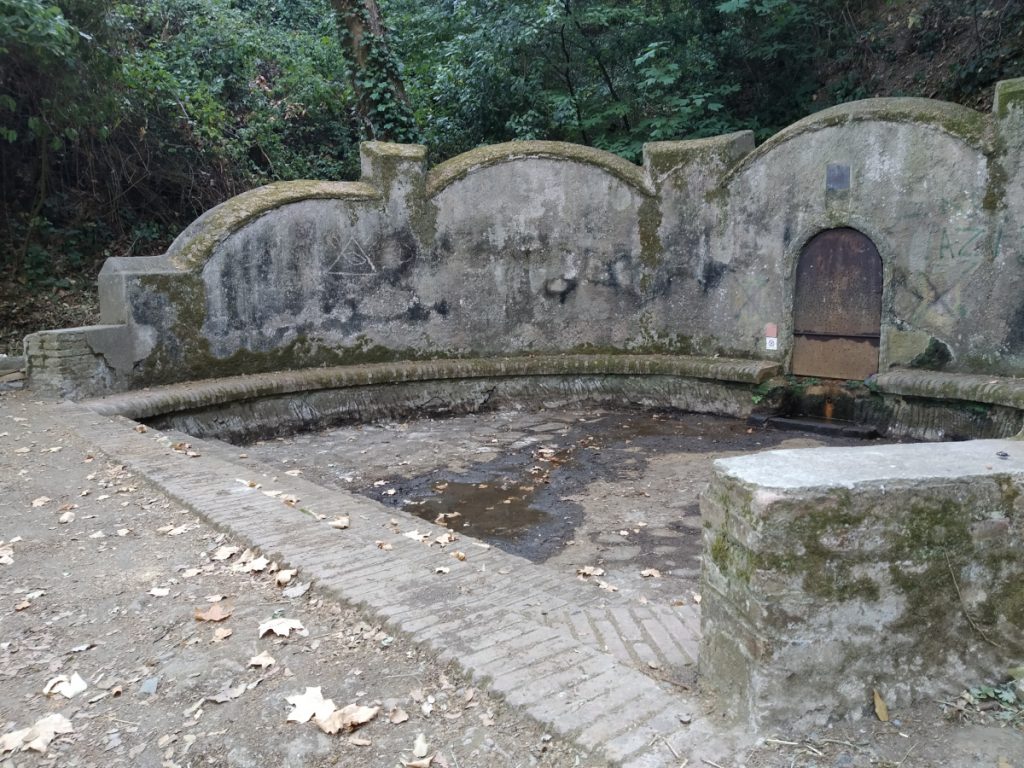
-2h 45 min. 10,4 km. 383 m. Residence Vista Rica. Take a path on the right, GR 92, parallel to the Arrabassada road. After a few metres you will cross it. Walk a few metres to the right along the road until you see a path on the other side, which climbs up a steep and then very eroded terrain.
-3h. 11.2 km. 435 m. Font de la Salamandra. Located under a large plane tree. We continue along the path we were on.
-3h 10 min. 11,4 km. 441 m. La Vinassa pass. A clearing with a fountain. Turn right along the track and go down a path to the left, following the waymarks.
-3h 15 min. 11.6 km. 458 m. Font d'en Canet. With a bench and next to a cork oak. The downhill path takes us to a track. Go up a few metres and take a path on the right. Descend along a stepped section that will take you to the Revolt de les Monges. Pass the road and take a parallel path. Cross a rest area with a restaurant.
-4h. 14.8 km. 256 m. Santa Maria de Vallvidrera Chapel. We leave it on the right and turn left onto the asphalt.
-4h 10 min. 15.2 km. 253 m. Vallvidrera reservoir. We reach the wall of this small reservoir. Leave it to the right and go up the Espinagosa stream. Pass the fountain and come to a track that you take on the left. We are in the neighbourhood of Vallvidrera. Go down to the right and cross the road.
-4h 30 min. 16,8 km. 347 m. Turó d'en Corts. Area with benches and views. We continue along the track contemplating the views of Barcelona and the mountain of Sant Pere Màrtir with its antenna.
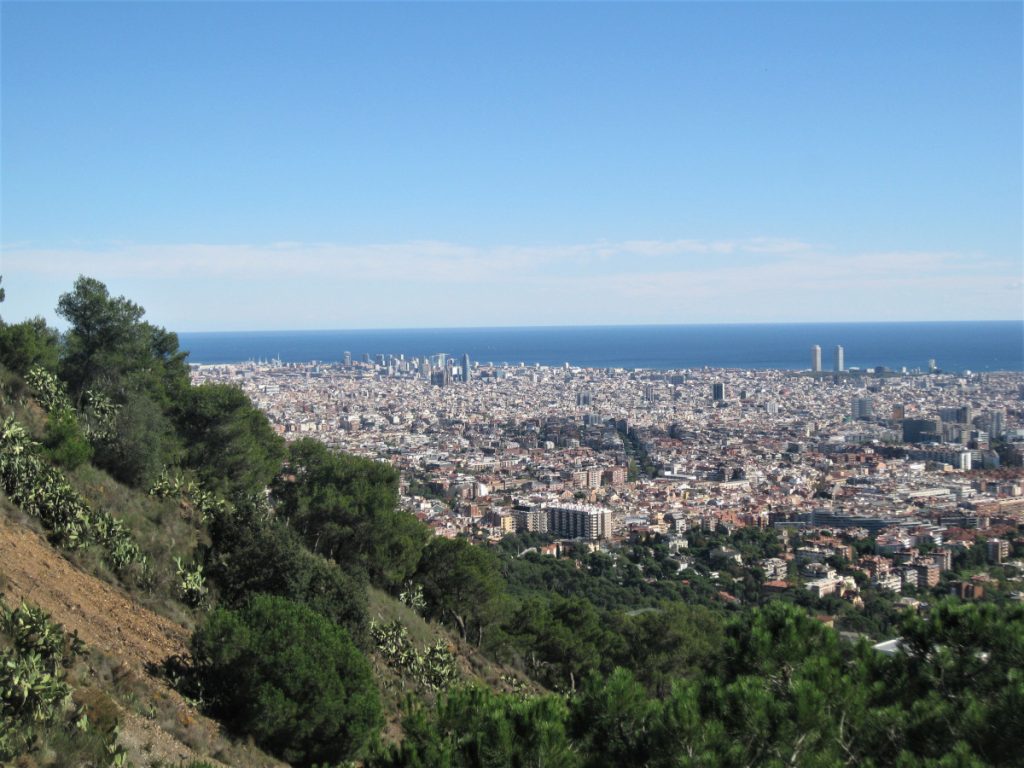
-5 h. 18.9 km. 277 m. Mireia Square / Carretera de les Aigües road. Area with a bar and tables. We go down the asphalt until we pass under the motorways. Turn right onto Avinguda dels Països Catalans. Left along Carrer Sant Mateu, which will take us over the Ronda de Dalt. Right along Avinguda de Manuel Azaña, left along Carretera de Collblanch and right along Tomás Giménez.
-5 h 45 min. 22.1 km. 75 m. Metro Pubilla Cases (L'Hospitalet de Llobregat).
Fastpacking is not about going faster. It's about going lighter.
If you come from classic trekking, this is the next step: learning to move with less weight,
more fluid and enjoying every kilometre more.
Join the Outsiders Newsletter and start discovering what lightness feels like.
