Valle de Hecho and Selva de Oza
Pyrenees and mountains 📩
Here 🔥The beautiful village of Hecho can be reached from the local road, A-176, which runs alongside the Aragón river.. The village is well worth a stroll through its narrow stone streets. You are sure to notice the roofs with their characteristic chimneys. Among them, we show you one in the main photograph. The following photograph is of the entrance to the village of Hecho.
From Hecho, the road continues to Siresa, where the monastery is located.. The first thing that surprises us is its size, similar to that of Jaca Cathedral. It dates from the 9th century, although, due to the lack of data on the European pre-Romanesque period, its origin and phases of construction are controversial. The church stands out for the simplicity of its lines.
Leaving Siresa behind, the road continues in the direction of the Selva de Oza, into which it goes deeper and deeper.. You will see that the path winds its way through the forest and the mountains, narrowing as you progress between mountain ridges that are over 2,000 metres high. You will also see different signs for "bordas", a word that you may not know if you are from outside the Pyrenees. Originally it was used to designate the huts used to house shepherds and livestock, and nowadays it indicates that you can eat there.
The Selva de Oza is a perfect place for walking, it also offers you the opportunity to practice canyoning in any of its gorges.. There are three car parks where you can leave your car and from there you can go on different excursions, we are going to tell you about some of them.
The first car park is at the Pyrenean Megalithic Interpretation Centre, which offers a cafeteria service and guided routes. One of these routes is via the Roman road, along which, as they say, legions, pilgrims and smugglers crossed the Boca del Infierno gorge. -spectacular canyon. This is a circular route of twelve kilometres. It starts on the path to the left of the car park, continues along the Roman road, crosses the road and the river and returns along the path of the hook, which you will see signposted.
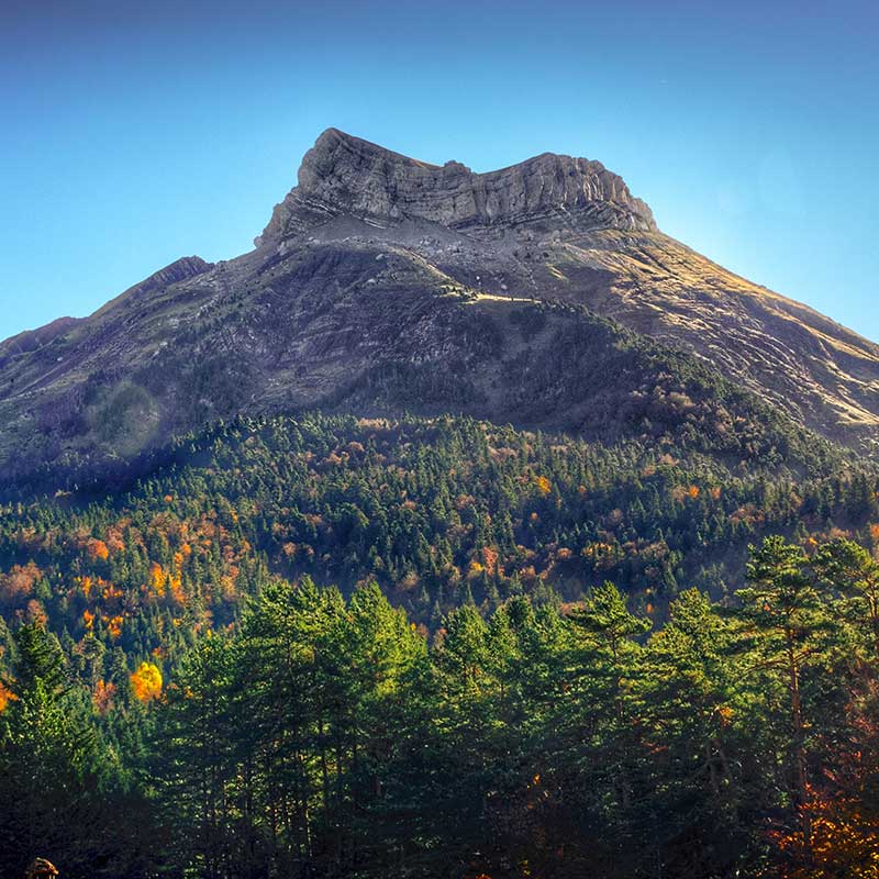
The second car park is at the Ramiro el Monje campsite, from where a signpost indicates the path to follow - Peña Forcá and Estribiella. The path starts in a forest of beech, fir and pine trees, and after two kilometres of hard and continuous ascent, you reach a meadow from where there are a spectacular view of the massifs of Peña Forcá and Rincón de Alano. You are now in the Estribiella Valley..
The third and last car park is on the Guarriza track. From your right the road leads to the Aguas Tuertas Valley and to the Ibon de Estanés (1.777 m). The walk to the valley is easy, three kilometres long and ideal for children. It is said that the Aguas Tuertas Valley is one of the most beautiful in the Pyrenees. If you continue your walk, five kilometres further across the valley, you reach the Ibón. From where you have parked, on your left begins the five-kilometre climb to Ibón de Acherito (1,870 m), the most westerly of all the lakes in the Pyrenees..
Fastpacking is not about going faster. It's about going lighter.
If you come from classic trekking, this is the next step: learning to move with less weight,
more fluid and enjoying every kilometre more.
Join the Outsiders Newsletter and start discovering what lightness feels like.