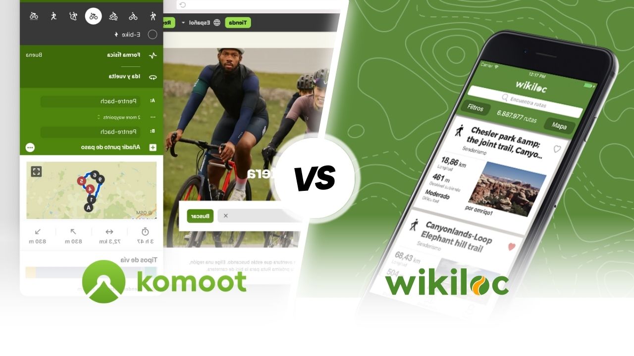
Komoot vs Wikiloc
Pyrenees and mountains 📩
Here 🔥For outdoor sports enthusiasts, the creation of personalised routes is essential. Two of the most popular apps for this purpose are Komoot and Wikiloc. Here we compare them:
🔍 Comparison between Komoot vs Wikiloc
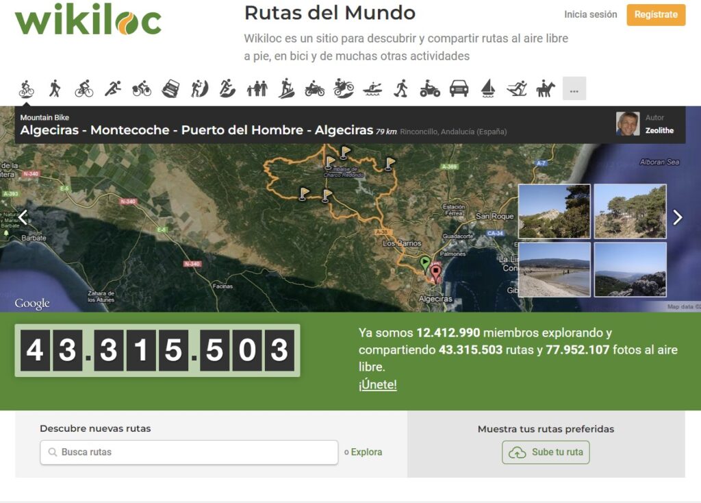
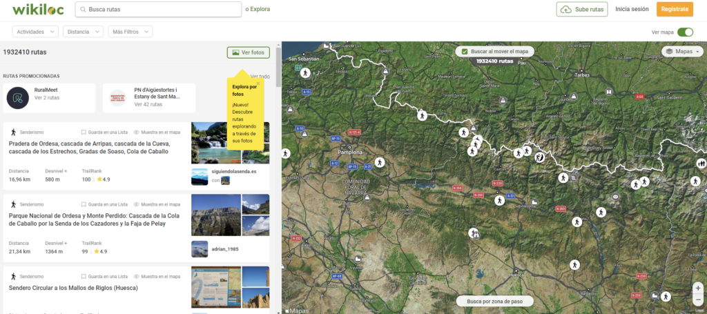
- Wikiloc is a website and mobile application that allows users to discover and share outdoor routes for hiking, cycling and many other activities. It has more than 12 million members who have explored and shared 43 million routes and 78 million photos. You can use Wikiloc to discover new routes or explore your favourites. You can also create your own GPS routes with your smartphone and upload them directly to Wikiloc.
In the following video that we have prepared for you by the mountaineer and youtuber Pau Calado tells us in detail how we can use the application, which has recently added "Route Planner" and 3D mapping functionality.


Wikiloc Premium lets you explore and discover the best routes near you or around your next destination and follow them with navigation aids such as a direction indicator, compass and audible alerts that warn you when you're off course. You don't need an internet connection for this2.
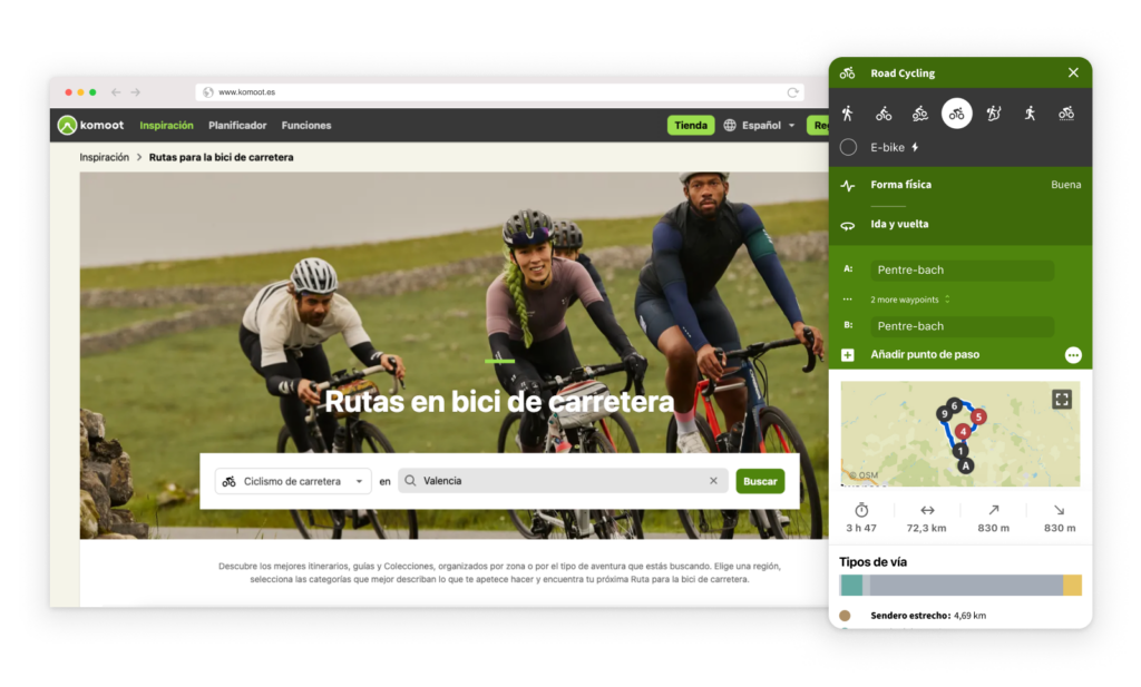
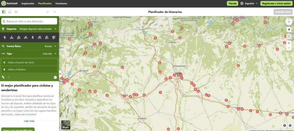
- Komoot is a website and mobile app that allows users to find, plan and share their outdoor adventures for cycling, hiking and running. It has features such as preset routes, sport-specific usability, turn-by-turn navigation, offline maps and adventure logging. You can use Komoot to get inspired by the recommendations and experiences of other outdoor enthusiasts, to create your own custom routes with topographical data, and to explore more of the natural world your way. However, does not offer as many routes in Spain as Wikiloc does.The new route is a good alternative to the old one, but it is undoubtedly a good alternative for new routes and for recording the routes.
🛠️ Main functions
Komoot
- It offers the possibility of plan your own route from the application or from its website.
- Includes topographic maps, elevation profiles, estimated time to complete a route, integration with Suunto and Garmin, recommendations from other users, voice-guided navigation and more.
- Compatible with Android or iOSThe only requirement is to indicate the point of origin and destination.
- Once you've planned your route, the app turns your mobile phone into a GPS device with voice-guided navigation. It is also possible to make modifications on the fly, if desired.
- Another interesting function is the provision of information on the weather conditions present on the route, as well as relevant data on the characteristics of the terrain.
- In addition, you can visualise recommendations about places that have been issued by other users both before and during the journey. You can also change the route, discover places of interest or add geolocated photos.
Wikiloc
- Wikiloc works by accessing its website, where you can find all the information you need to know about the itineraries as needed, distributed throughout the world and with more than 75 different activities.
- It also functions as a GPS navigation for mobile devices which will allow you to record your route in order to share it with friends or simply to keep a record of what you have done. This app is available for both iOS and Android.
- It shows data such as the distance travelled, average speed, total time in motion, positive elevation, and more.
- Live tracking of tracks such as the downloading offline maps in GPX or KML.
🔎Options for route planning
Komoot
- Komoot plans your routes according to your preference. You choose the sport, the starting point and the destination. In this way, you will see how a route is created along the trails and paths that best suits your interests.
- Sports available include hiking, running, cycle touring, MTB, gravel, road cycling, bikepacking and mountaineering.
- In addition, Komoot allows route planning taking into account physical condition and whether you want to do a one-way route or also a round trip, not only according to the area you want to go to.
- Once your itinerary is set up, you can add your preferences or favourite places, check the elevation profile and adapt the route to the circumstances.
Wikiloc
- To determine the route to be taken in the application Wikiloc you must enter the Explore section and through its filters you will be able to find the most suitable route according to your needs, such as length, activity, slope or difficulty.
- Among the dozens of sporting options available are: hiking, running, walking, mountaineering, mountain biking, cycling, climbing, kayaking, among many other activities.
- As you can see, there is a wide variety of options, including even the recording of routes for drones as a sport or paragliding. In terms of countries and cities where routes are available, there are numerous destinations where you can find a route.
- Through the app, you can select the technical characteristics that interest you, from the level of difficulty to the type of terrain and the total time of the adventure. The ability to search for new trails is one of the key features of the app. Wikiloc offers its users, through its use you will have access to routes located anywhere in the world.
- The complete list of countries can be consulted from the website without having to register, without having to know if it is available in your country and if you are really going to use it.
🌐Maps and places of interest
Komoot
- Komoot presents the maps, including the entire information You can imagine: from favourite places or places of interest that other users have indicated, natural landscapes, availability of parks, restaurants, accommodation, parking, connection with public transport, fountains, whether the route is suitable for children, recommended routes for dogs, Wi-Fi access points and even where to find bike repair shops.
- The map layers can be changed and use others that allow for more detailed information, including the satellite map.
Wikiloc
- Wikiloc allows you to locate the most interesting routes nearby. This option is one of the most useful and at the same time the easiest to use, as you only have to enter the name of the nearest town in the search box. "Discover new routes". and the application will present you with a list of all the routes and outdoor activities you can do around your location.
- In the same way as other map applications, Wikiloc requires the download of a file containing the map data. A complete map of Spain can be downloaded and will take up around 900 MB, or you can choose to download only the one for the community where the route is located and reduce the space it will take up on your device.
📡Internet connection
Komoot
- Komoot gives you the possibility to download the routes you have planned so that you can consult them without being connected to the Internet and save on data. You have to download the planned routes beforehand and save the topographic maps with a single click. This functionality is perfect when there is no signal, and ideal for when there is no coverage and you know it in advance.
Wikiloc
- Wikiloc has offline maps and one of the main advantages is that these maps are of the IGN (National Geographic Institute) type. In this way, the altitudes and relief present in the environment through which the route passes are specified.
👥User community
Komoot
- In Komoot, after planning your routes, you can activate the GPS and record them. Then, add photos, favourite places and recommendations to generate a diary with your adventures and have them available at any time.
- Completed routes can be private, or public if you are interested in sharing them with others, receiving feedback and helping others discover these sites. You can also follow your friends and other outdoor enthusiasts to find out what they are doing.
Wikiloc
- Wikiloc is a platform on which users publish the routes they have taken themselves, including maps, photos, descriptions and many more details about the different types of routes. It can be seen as a mixture of a map app, a route recommendation tool and a social network for hikers.
💰Cost of implementation
Komoot
- By downloading Komoot you will get free of charge the first region. You can then choose one of three packages: Single Region, Multi-Region Package or World Package for offline access to maps and voice-guided navigation wherever you are. Region purchases can be made from €3.99 for an individual Region, €8.99 (the Multi-Region Package or €29.99 for the World Package)..
- Komoot also has a version Premium which has additional functions, such as allowing you to generate your own collections, plan routes for several days or have access to maps.
Wikiloc
- Downloading Wikiloc is completely free of chargebut if you want to enjoy outdoor navigation and audible alarms to alert you if you go off the route, among other extra features, you will have to pay for Wikiloc PremiumThe cost is 9.99 euros per year or 4.99 euros for a quarter.
In the Premium version you will have the possibility to obtain the following functionalities:
- Outdoor Navigation.
- Search according to the zones of passage.
- Send the route to your Garmin device.
- Live monitoring.
- Meteorological data.
- Photo scanning.
- Route search by user.
- Advanced filters.
- Routing lists.