Tour of the Aneto. Stage 3: Cap de Llauset Refuge - Plan de Senarta
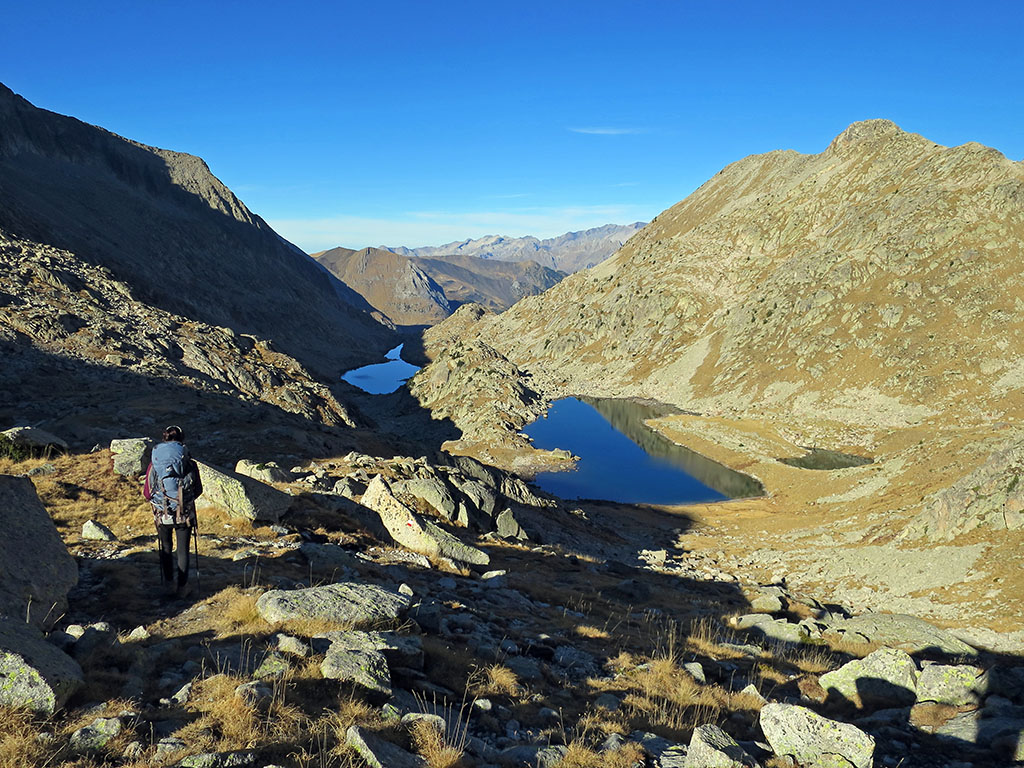
SUMMARY:

This stage can be divided into two blocks. In the first, between the Cap de Llauset refuge and the Vallibierna lakes, we will move through high mountain terrain. Snow until July, uncomfortable areas of boulders, cliffs... but also the beauty and solitude of a landscape dotted with lakes that compensates for the effort. The second block is simple, running almost all the time along a track on which in summer there is a regular bus service.

Downloadable:

> Download Track

Technical specifications:

Distance: 13,8kms.
Cumulative difference in altitude: +337m /-1.395m.
Timetable: about 7.5 hours. Walking time non-stop: 5h40min.
Difficulty: Between Cap de Llauset and the Vallibierna lakes we move through high mountain terrain. The path disappears at times, it is difficult to walk between the blocks and there may be snow at the beginning of the summer on the Cuello de Vallibierna (2,710m). From the Coronas bridge onwards we advance quickly, almost all the time on the track.
Water: Along the stage you will pass several streams.

ITINERARY:

(0h00min; 0,0kms) Refuge of Cap de Llauset (2425m).

Cap de Llauset Hut

The path descends in a north-westerly direction to cross the stream that flows into the Cap de Llauset lake and begins to climb up the other bank (west), towards the...

Towards the Llauset slope from the Vallibierna pass.

(1h00min; 1,4kms) Vallibierna pass (2710m). The descent to the Vallibieran lakes is steep, as is the ascent, over stony terrain that is somewhat decomposed.

Ibones de Vallibierna.

(1h35min; 2,3kms) Ibón alto de Vallibierna (2.475m). We leave the lake on the right to start descending through the first valley that opens up on the left. The path descends along the wall on the right, in order to avoid the uncomfortable boulder-strewn terrain. Before reaching the lower Vallibierna lake, the path crosses the ravine to go round it on the right-hand side.

Ibón Bajo de Vallibierna

(2h10min; 3,4kms) Drainage of the Ibón bajo de Vallibierna (2.428m). The path descends next to the Vallibierna ravine. We leave behind the realm of rock and sharp granite ridges and enter the realm of pastures and forests. To the north, the views towards Aneto (3,404m), Tempestades (3,290m), Margalida (3,241m), Pico Russel (3,207m) or Vallibierna (3,067m) are magnificent.

Aneto, Tempestades, Margalida and Russel.

Little by little the black pines gain prominence and other streams join in, such as the Llosás stream, which we cross with a lever.

(2h45min; 4.6kms) Pleta de Llosás (2,206m).

In the Pleta de Llosas with the Posets in the background.

The path continues descending until it definitively enters the forest and, further down, becomes a wide path. We pass the crossing to the Coronas lakes and arrive at the...

(3h45min; 6.5kms) Bridge and refuge of Coronas (1.980m). Small car park and fishermen's refuge, also called Vallibierna, Riveretes or Coronas (good condition).

Refugio de Coronas.

This is reached by a track along which a bus runs during the summer months, when access by car is not allowed. The route descends following the track.

On the Vallibierna valley track.

In 3 kilometres we pass by the...

(4h30min; 9,6kms) free refuge Pleta del Quillón (1.805m)We leave it on the right hand side of the track.

Pleta del Quillón Refuge.

The route continues along the track for another 3 kilometres, until we reach a steep shortcut on the left hand side, where we avoid a twisty track.

Tuca de la Trapa (2,797m).

Back on the track, we pass a fountain and arrive at the crossroads where the GR11 and GR11.5 separate.

On the Vallibierna valley track.

If you continue to the right, you will arrive in a couple of minutes at the...

(5h40min; 13,8kms) Plan de Senarta (1.362m)