Ruta de las Golondrinas: the circular route through the Karst de Larra
Pyrenees and mountains 📩
Here 🔥The Classic Swallows Route is a mountain crossing of 4 days -There are variants of the route lasting between 3 and 6 days, which runs through the heart of the western Pyrenees, crossing the border between Spain and France through the valleys and peaks of the "kingdom" of the Karst de Larra. More than just a simple trail, this route is inspired by the historical passes of the "swallowsThe name given to the women of the Roncal, Ansó and Salazar valleys who, dressed in blackEvery autumn, they migrated to the French side in search of work and returned in spring, just like the swallows in their seasonal migrations. Today, those of us who venture on this route discover beech forests, alpine meadows, karstic landscapes - be careful, Larra is a lot of Larra - and panoramic views of emblematic peaks.

This journey circular connects four mountain refuges - Belagua, Linza, Laberouat y Jeandel - forming a large loop around the karstic massif of Larra. Over a period of about 60 to 75 kilometres (depending on the variants chosen) the trail crosses three different cultural regions (Navarre, Aragon and Bearne/Soule) and landscapes as diverse as the Belagua Valley, the Ansó Valley, the French region of Lescún and the limestone plateaux near La Pierre Saint-Martin. The variety of environments is astonishing: from dense rainforests to desolate high mountain areas, from green pastures dotted with cattle to labyrinths of limestone rock eroded by the centuries. There is also no shortage of iconic peaksThe route offers options to summit peaks such as Txamantxoia, Three Kings Table (the highest peak in Navarre at 2,446 m), Petrechema or the Pic d'Anie (2,504 m, the first great peak in the Atlantic Pyrenees), among others.
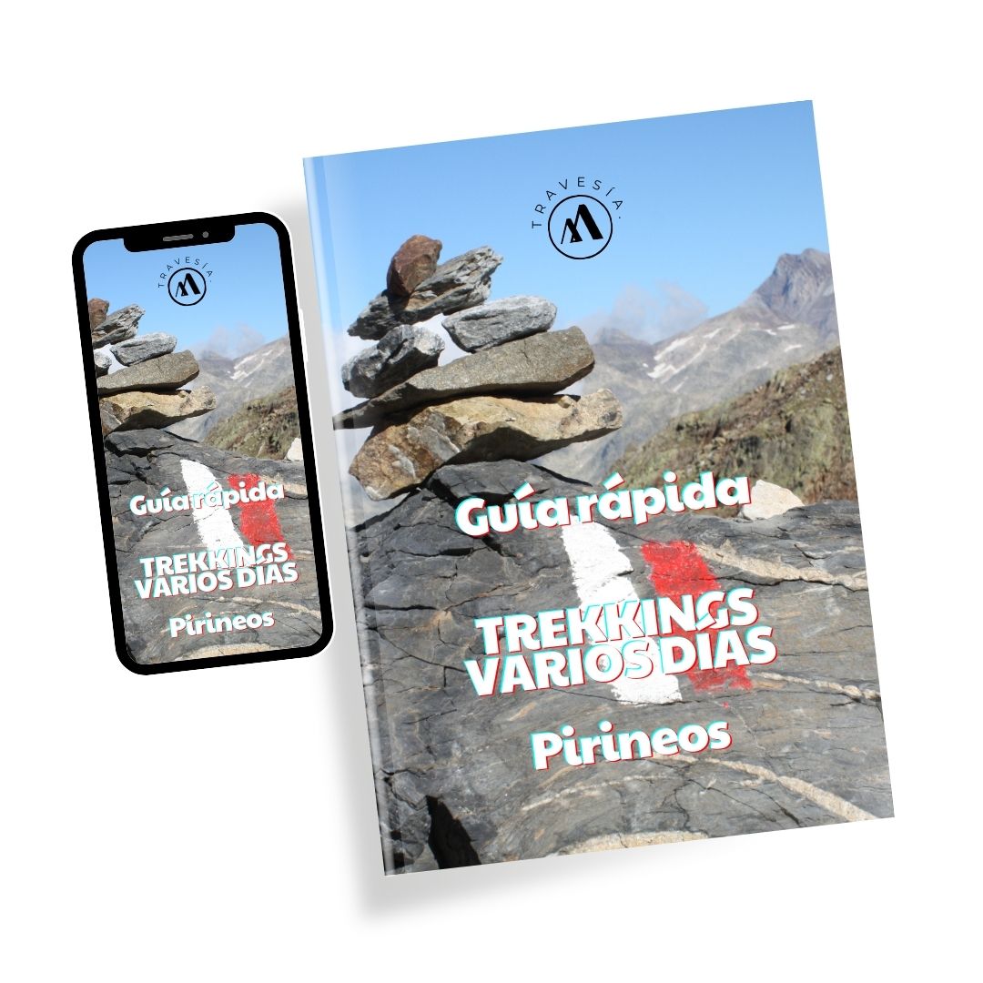
Quick guide TREKKING SEVERAL DAYS in the Pyrenees
with everything you need to know before undertaking a multi-stage circular route.
Route variants and duration
The Ruta de las Golondrinas can be done at 3, 4 or 5 stagesThe route can be adapted to the level and availability of each hiker - on this occasion we opted for the classic route, without summits, so to speak. Option A-:
- Alpine Swallow (3 days): The most recent version wild, difficult and "alpinerecommended only for experienced mountaineers. In three days it connects Belagua, Linza and Laberouat, following off-trail sections and demanding slopes. It requires very good physical fitness, orienteering skills and is designed for those seeking a technical challenge in the high mountains. Do not underestimate.
- Golondrina Classic (4 days): The route of "all my life".balanced in effort and enjoyment. It completes the Belagua - Linza - Laberouat - Jeandel loop, combining marked trails with high mountain sections. Each stage offers two alternatives: one simplest variant (A) and another more demanding (B) which usually includes the ascent of a summit or a more technical route. Although it is the classic route, it is not trivial: it requires good physical condition and basic notions of mountain orienteering.
- Great Swallow (5 days): The version longer and exploratory. It adds an extra stage, usually starting from the village of Isaba (Navarre)The Roncal Valley is the perfect place to take it easy and explore the Roncal Valley before linking up with the classic circuit. This five-day option allows you to get to know the nooks and crannies of Belagua and the neighbouring valleys in greater depth, at the price of walking more kilometres in total. It is ideal for those who have time and want to fully immerse themselves in the area.

Technical sheet (Classic route 4 days)

The following is a description of the 4-day classic itinerary (without optional ascents in our case), with notes on the possible variants in each stage and the main attractions of the route:
Golondrina Classic Itinerary (4 stages)
Day 1: Belagua Hut - Linza Hut (≈ 20 km)
Unevenness: +800 m / -350 m (easy route); ó +1100 m / -1200 m if ascending summit.
Time approx: 6-7 hours of effective walking (depending on variant).
Description:
Day 2: Linza Hut - Laberouat Hut (≈ 24 km)
Unevenness: +1300 m / -1200 m (normal route); up to +1800 m / -1600 m if ascending the Mesa de los Tres Reyes.
Time approx: 8-9 hours (without summit); 8-10 hours with optional ascent.
Description:
Day 3: Laberouat Hut - Jeandel Hut (≈ 12 km)
Unevenness: +700 m / -400 m (normal route); ~+1300 m / -900 m with ascent of the Pic d'Anie.
Time approx: 4-5 hours (without summit); 6-7 hours with summit.
Description:
Day 4: Jeandel Hut - Belagua Hut (≈ 13 km)
Unevenness: +500 m / -700 m (normal route); ~+700 m / -900 m in long variant.
Time approx: 4-5 hours (variant A); 5-6 hours variant B.
Description:
Logistical information and final tips
- Reservation of shelters: To ensure a place in all four refuges (especially in the high season, July-August), it is highly recommended to book in advance. There is the option of ski pass of the Ruta de las Golondrinas, which includes overnight stays in the refuges with half board. With a single booking, you are guaranteed all the nights, which makes logistics easier. If you book separately, here are the contacts: Belagua Refuge (Tel: +34 623 10 73 17), Linza Refuge (+34 974 34 82 89), Refuge de Laberouat (+33 5 59 34 71 67), Refuge Jeandel ( +33 6 73 14 97 23). Note that the sheltered lodges offer dinner and breakfast, and even picnics to take away, but it is advisable to take some energy food with you (nuts, bars) for the road, especially for long stages.
- Necessary equipment: As it is a trek from hut to hut, no need to carry a tent or a heavy bagbut do carry a bed sheet sack or light bag, as it is compulsory in the refuges to use over the blankets - as I mentioned earlier, the cost in some of the refuges ranged from 2 to 5 euros. Also essential are good hiking boots or shoes with grippy soles (the lapiaz is aggressive on smooth shoes), a backpack comfortable (30-40 L), technical clothing in layers suitable for the mountains (including raincoat/windbreaker and some warm clothes, as it gets cooler at night at high altitude), front battery-powered, basic first aid kitsun protection (sunglasses, hat, sunscreen), and trekking polesThese are very useful for long descents. Don't forget to always carry sufficient waterAlthough you can refill your water bottles in the refuges, on the route the water sources are scarce (especially on the karst plateau where the water disappears underground). It is recommended to start each stage with at least 1.5-2 litres per person - especially on the second stage - and to take advantage of points such as the Ansabère huts to refuel if possible. You can bring some kind of water purification system (tablets or filter) as, for example, in the Lescun valley there will be streams.
- Orientation and security: As mentioned above, the route is not fully signposted. It is highly recommended carry maps (Alpina or French IGN maps for the area, for example) and/or GPS with tracks. Before setting off, find out about the meteorologyIn case of dense fog, certain sections (such as the Larra karst) can be difficult to navigate. A safety chain is installed at the Pas del Osque; take it easy and help the less experienced members of your group at this point. Other than that, while there are rocky passes, no technical climbing equipment is required. One point to remember is that you'll be climbing in and out of FranceIt's a good idea to carry your ID/Passport (although there are usually no controls in the mountains). It may also be useful to have some cash in euro (if it is true that all 4 refuges accept credit cards).
- Best time and fauna/flora: The ideal time, as mentioned above, is summer and early autumn. In June the pastures are green and flowery (Pyrenean lilies, blue thistles, etc.), although there may be snow at higher altitudes. July and August offer longer days and greater weather security, but also more people in refuges (book early!). September brings autumn colours in the forests and less crowds, with colder nights. During the crossing it is common to spot chamois (especially in high rocky areas), marmots sunbathing on the stony slopes, and a great variety of birds: from birds of prey such as griffon vultures and bearded vultures to small alpine birds.
- Global experience: Completing the Ruta de las Golondrinas is more than just adding up kilometres: it is immersing yourself in Pyrenean culture and in a unique landscape of forest and rock. Each refuge has its own charm and offers the opportunity to spend time with other mountaineers, share anecdotes and recover your strength with the hearty local gastronomy (don't miss the migas de pastor or hot broth if offered in Belagua, or Lescun goat's cheese in Laberouat. In Jeandel, ask for a waffle). At the end of the four days, you return to Belagua tired but satisfied, having discovered hidden corners and understood why these mountains hide stories of migration, legends of kings and, above all, unforgettable experiences.
Fastpacking is not about going faster. It's about going lighter.
If you come from classic trekking, this is the next step: learning to move with less weight,
more fluid and enjoying every kilometre more.
Join the Outsiders Newsletter and start discovering what lightness feels like.