Runtastic Altimeter
Pyrenees and mountains 📩
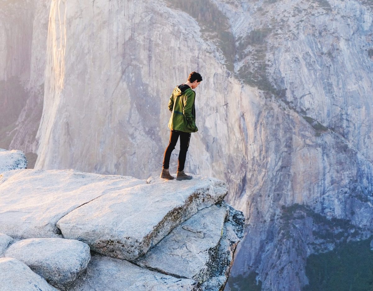
Here 🔥More and more applications designed to complement the practice of mountain sports and outdoor activities are being launched on the market. The app Runtastic Altimeter is a must-have for your mobile phone, as it turns it into a complete altimeter, in addition to its compass, weather information and exact position utilities.
What is Runtastic Altimeter and what are its features?
Runtastic Altimeter it is a free app available for Android and iOS, which indicates the altitude at which you are. In addition to this, it will give you information on temperature, wind speed, sunrise and sunset, among other data. It will also show you the geographical coordinates where you are located.
It is a very accurate tool, although as usual, it has a margin of error. This error range is between 1 and 7 metres.
The main features of this application include the following:
- Provides more accurate altitude (elevation) measurement through Runtastic's online altitude service.
- It has a photo function with integrated altitude and sharing.
- Allows you to remove the Runtastic watermark on photos.
- You can share your outdoor photos with friends via Facebook, Twitter or email.
- Provides altitude indication in both metres and feet
- Provides information on sunrise and sunset.
- It has compass functionality.
- It displays the GPS coordinates.
- Provides current temperature and wind speed data.
- It is an application that does not have any advertisements.
Procedures you can perform with Runtastic Altimeter
Some of the procedures that you can carry out with the application are Runtastic Altimeter are described below:
How to select the level of accuracy
- Once you enter the application you will see on the main screen how accurate the measurement is.
- It indicates whether it is excellent, very good or good.
- For more accurate results it is suggested to keep the Elevation Correction option activated.
How to know the cardinal point
- Once on the main screen, you will see in the lower half of the screen a series of data ranging from the site's weather to GPS location coordinates.
- To find out which cardinal point you are looking at from the compass, simply turn the terminal from left to right.
- This function is useful when you have successfully climbed a mountain and need to know your orientation while at the top.
How to make adjustments to the application
- In the top right area you will see the two gear icon representing the Settings function.
- In this section you can choose the unit of measurement, either metres or feet.
- It is also possible to select the unit of temperature, either Celsius or Fahrenheit.
- If you want to identify the photos with the Runtastic brand, you can also do so from this screen.
- Other functions you can perform include rating the application, accessing the support section and viewing the other Runtastic applications.
How to share altitude with friends
- When you are on the main screen, you will see two buttons at the bottom.
- Via one of these buttons you can share your altitude on the social network Facebook, Twitter, WhatsApp or via email.
- The other button is the photo button where you can take photos of where you are and mark it with the altitude and with the Runtastic brand, if you prefer.
- The photos taken are automatically saved to your device's image gallery.
Alternatives to Runtastic Altimeter
Other applications that will allow you to turn your mobile phone into an altimeter, and can be used as an alternative to using an altimeter are Runstatic Altimeter are as follows:
My Altitude
My Altitude is an altimeter app that can calculate your altitude, location, barometric pressure and the boiling point of water. To determine these measurements, the app makes use of your phone's sensors and GPS.
This altimeter app does not require you to connect to the internet. In addition, you can take photos directly in the app with all the parameters so you can show on social media what you have achieved. Available for Android and iOS.
Altimeter Ler
Altimeter Ler is an Android app for anyone who needs to climb somewhere. It includes a compass, a tracker and an altimeter. It can also inform you about the weather. Most of the measurements are carried out with GPS.
Like the previous application, it allows you to take photos and then add the coordinates and some of the parameters you select.
My Elevation
My Elevation is an app that is only available on Google Play. It requires a data connection to work and only if you are located on the ground. This is because the programme uses latitude and longitude to calculate altitude.
If you don't have a problem with having to use the internet connection and draining the battery, you can use the app. It is one of the most suitable for short distance walking or other non-travel related purposes.
Accurate Altimeter
Accurate Altimeter is an altimeter application available on Android. No internet connection is required to take and transmit measurements. The app can use three different methods to get the results. They are:
- Satellite triangulation.
- The elevation of the land.
- The use of pressure sensors.
Travel Altimeter Lite
This application works for iOS devices. Travel Altimeter Lite bases its operations on pressure changes. Therefore, you need to set the reference pressure and altitude. Then, when these change, the app will show you the changes. The sensors used by the app are considered to be very accurate.
A compass is also included in this application, ensuring real-time orientation.
Conclusion
You may have learned that the application Runtastic Altimeter has features and functions that make it recommendable for mountain sports enthusiasts. From now on you will be able to test its usefulness by using it for outdoor activities.
In addition, you have a number of applications that can be used as an alternative, in those cases where you can't have Runtastic Altimeter on your mobile device.
Fastpacking is not about going faster. It's about going lighter.
If you come from classic trekking, this is the next step: learning to move with less weight,
more fluid and enjoying every kilometre more.
Join the Outsiders Newsletter and start discovering what lightness feels like.