13 snowshoe trails in the Pyrenees
Pyrenees and mountains 📩
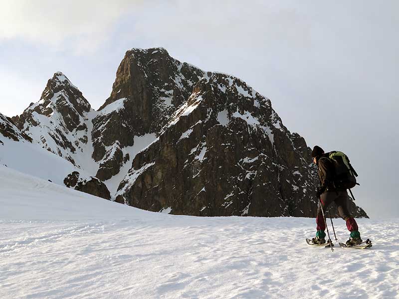
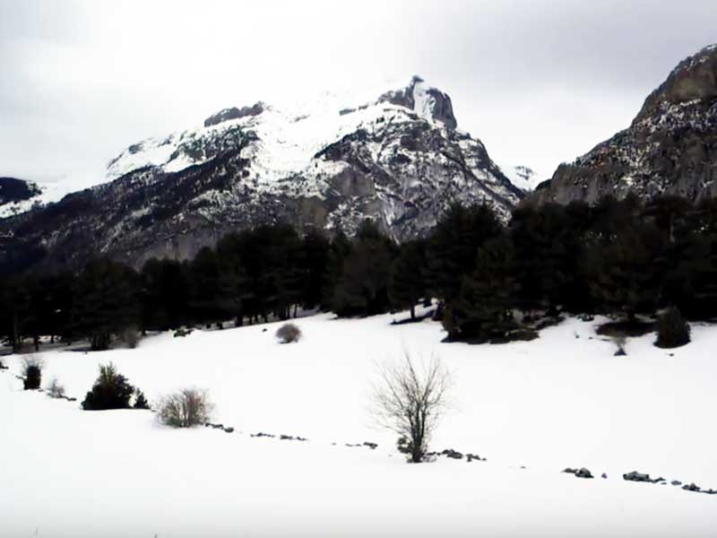
Here 🔥For those who want to enjoy the snow, and the mountain with peace of mind, and without running great risks, the progression with snowshoes is a magnificent choice -it will always depend on the route we choose-. The Pyrenees offer beautiful routes for all tastes and levels thanks to the great quantity and quality of snow.
Many of the places mentioned below have snow throughout the winter and part of the spring. In addition, the meadows, which are covered with a white blanket in winter, are ideal for this sport.
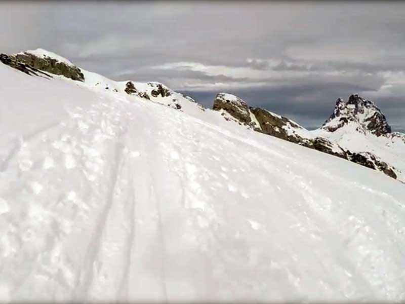
Circular to O Forato
The circular begins in the middle of the urbanisation of FormigalIt is one of the favourite places for winter sports lovers. It is a 6-kilometre circular which surrounds the limestone spur of name O Forato. The beginning and the end of the circular run through the southern slopeIt is a relatively low difficulty, and has a total of 480 metres of positive vertical drop. Its difficulty is relatively low, and in total it accumulates a positive difference in altitude of 480 metres. Although this route has many points of interest, the duration of the walk does not exceed 3 or 4 hours. During the route you will reach the La Fita passIt is a perfect viewpoint to admire some of the most emblematic mountains of the Pyrenees, such as the Balaitús, the Picos del Infierno, or the always special Anayet.

Tour of the Panticosa Spa Resort
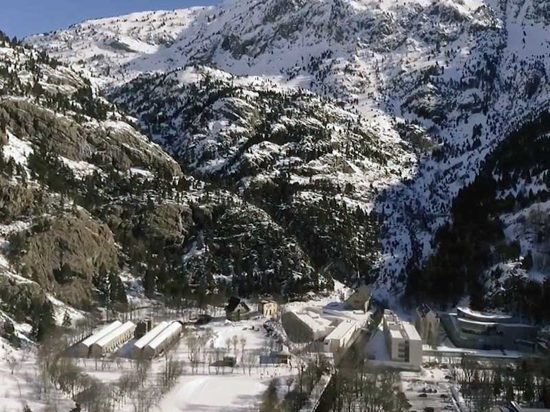
Situated in the Tena Valley, the Panticosa Spa is one of the favourite destinations for mountaineers and tourists who want to enjoy the Pyrenees. The area around this spa offers the possibility of carrying out various activities, such as winter hiking. There is an itinerary that is recommended for beginners in snowshoeing progressionor to enjoy a lovely day out with the family. The positive slope of this route is almost negligible. It covers a distance of one and a half kilometres that can be done very easily in little more than a few days. time or two hours. You can hire all the equipment there if you wish. In addition, the Casa de Piedra's rangers will help you if you have any doubts about the route to follow.
Ibones de Ordicuso

The route starting from the Panticosa Spa travels about 3 kilometres distance between the outward and return. It seems like an easy distance, but the steep slopes and sometimes high avalanche risk require a certain amount of time and effort. snowshoeing experience. Since the Stone House you have to turn to the Black Elm and other peaks over 3,000 metres. After passing through the black pine forest, turn left. Follow the blue and white waymarks. After passing the colyou will reach the Ibones de Ordicusoalso known as the ibón de las Ranas. The descent can be made completely along the same route, or, if the risk of avalanches is low, down the western snow shovels and then return to the normal route.
Ibon de Piedrafita
If you are just starting out in snowshoeing, or if you only have a short time to do the activity, this is a highly recommended circular route. It starts from Piedrafita de Jacaa municipality located in the Tena Valley. The route runs through the foothills of the mountain Peña Telera. With a positive difference in altitude of approximately 250 metres you will be able to enjoy fantastic Pyrenean landscapes in just over three hours. The path is easy to follow as it is usually very popular with mountain enthusiasts. First through the forest and then through more open meadows, you will be able to enjoy yourself to the full. The distance to be covered is seven kilometresThe route can be shortened on the way back by going straight down the meadows, snow conditions permitting.
Cuyalaret Peak
Located on the border between France and Spain, this route offers wonderful views of the Anayet, the Candanchú area and the great Midi D'Ossau. The route starts at the mythical Portalet passbehind the Espacio Pirineos building. The route starts with a steep ramp, but it soon eases off to take us to the summit of the day: the Cuyalaret Peak at an altitude of 2,290 metres. The descent can be made along the same path, although it is advisable to do it through the valley on the right, as it offers better quality snow. The valley leads to the way up. Although the 6 kilometres Although the route seems straightforward, it should be borne in mind that thick fog is very common in this area, so it is advisable to keep an eye out for it.
Ibones de Anayet
If you already have a good command of snowshoeing techniques and want to have fun with a fairly simple route without being boring, this is a good option. The route starts and finishes at the Anayet car park, in the ski resort of Formigal. The route of 8 kilometres will take you to the Ibones de Anayet through the Culivillas ravine. The round trip will take us around 4 hours and we will have faced an accumulated difference in altitude of 610m.
Faceras Peak (El Verde)
This route located near Panticosa has 9.5 kilometres with a cumulative difference in altitude of about 1,100 metres. A route with a certain level of difficulty that requires a decent level of fitness and some knowledge of snowshoeing techniques. The route starts behind the offices of the Panticosa ski resort. Once through the forest, the terrain will open up and you will be able to enjoy beautiful landscapes. With logic and intuition, you should head towards the Faceras Peak which will be the highest point of the route. It is situated at 2,287 metres. From there the views are spectacular. It is recommended to follow the same route for the return journey, although in some areas it is possible to descend straight down quite steep slopes.
Pedró dels Quatre Batlles. La Coma, Port del Compte
The route is located in the Solsonès region very close to Barcelona. It is a circular route of moderate difficulty and it has almost seven kilometres. Its height difference is around 470 metres. It is located in the ski resort of Port del Compte which is known for its wide variety of routes of varying difficulty. The route is well signposted, so you can't get lost. The views from the top of Pedró dels Quatre Batles at 2,445 metres are breathtaking. The highest point of the route is located right in the middle of the route. The route ascends and descends along different paths. However, the good signposting will allow you to complete the route without any setbacks. You will be able to enjoy the snowy landscapes.
Gabardito Circuit in the Echo Valley
Choosing to do the Gabardito Circuit is ideal if you are just starting out in snowshoeing, or if you would like to practice this activity together with your family. Located in the Valle de HechoThe route starts at the Gabardito refuge. There you can hire all the necessary equipment. The circular route has a distance of about 4.5 kilometreswhere you will walk through beautiful forests for about 2.5 hours. We will follow the route of the background tracks. It is not a high mountain route (the maximum altitude is 1,582 metres); consequently, it is advisable to ask about the situation of the terrain because there may be periods with little or no snow.
Another option for a snowshoeing activity departing from the Gabardito refuge is to follow the route of the GR 11.1 to the Foratón pass.at the foot of the Bisaurín. It is a route of just under 6 km (round trip) that will take us about 5 hours.
Ibón de Estanés "
This is a classic snowshoeing route. We will start from the Sansanet car park (France). An easy route -depending on the snow and the weather- with no major gradients. The first part of the route runs through a beech and fir forest. We come to a fork where we take the direction of Lac D'Estaens. After a moderate ascent we reach the 292 muga, the border between Spain and France. We join the GR-11 to reach the Ibón de Estanes. We will return along the same route.
Tuc de Beret in the Aran Valley
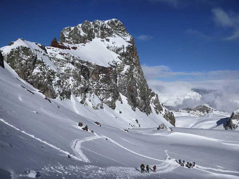
The location and altitude of this circular route makes it one of the places for snowshoeing that accumulates the most snow from the beginning of winter until the beginning of spring. It is in the Aran Valley and passes through completely snow-covered landscapes at an altitude of between 1,829 and 2,597 metres. It covers a distance of 8 kilometresand has a positive difference in altitude of 768 metres. The route runs largely along the river. We will start by following the tracks of the station. The circular route starts at the car park of the Pla de Beret and reaches the highest point at the top of the Tuc de Beret. This summit offers brilliant views of the Pyrenees. This circular route requires a decent level of fitness, as it takes more than five hours of walking.
Gallina Pelada. Alt Berguedà
It is a long route, about 10 kilometresbut with a low technical difficulty. It is located in the province of Barcelona, in the ski resort of Rassos de Peguera. The route starts with the tough climb up the Torrent de la Font d'Ensija. This is probably the most difficult part, but once you reach the 2,000 metre mark, the terrain becomes smoother and you can enjoy the scenery and the high mountains. In total, the route of about five hours accumulates about 650 metres of uphill and downhill gradient. The highest point of the circular is the peak of the Bald henwhich rises to 2,327 metres. From there you can enjoy views of half of Catalonia.
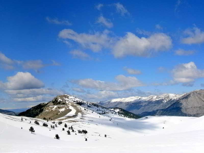
Tossa Pelada.Tuixent
![La Tossa Pelada from the Plana d'Arderic / Photo: EliziR [CC-BY-SA-3.0].](https://travesiapirenaica.b-cdn.net/wp-content/uploads/2018/11/La_Tossa_Pelada_des_de_la_Plana_dArderic_EliziR-CC-BY-SA-3.0_800x600.jpg)
This hike starts at the ski resort of La VansaCircular route with snowshoes that offers beautiful views without requiring a high technical level or a great state of fitness. To a large extent we will follow the circuits of the ski resort. The excursion is classified as easy and is suitable for beginners in snowshoeing or for the whole family. They are about 9 kilometresThe route is steadily but gently sloping, with a gentle, rounded shape, where you have to walk to reach the highest point of the day at an altitude of 2,375 metres: Tossa Pelada. The descent is by another path; a steady descent, ideal for enjoying the views. The approximate duration of the activity is around five hours. It can be extended if desired to the nearby Pedró dels Quatre Batlles, with less visibility but a little higher.
Fastpacking is not about going faster. It's about going lighter.
If you come from classic trekking, this is the next step: learning to move with less weight,
more fluid and enjoying every kilometre more.
Join the Outsiders Newsletter and start discovering what lightness feels like.