Tour of the Aneto
Pyrenees and mountains 📩
Here 🔥
Quick guide TREKKING SEVERAL DAYS in the Pyrenees
with everything you need to know before undertaking a multi-stage circular route.
The return to Aneto
The complete tour of the monarch of the Pyrenees, the Aneto, is one of the best three-day routes we can do in the Pyrenees.
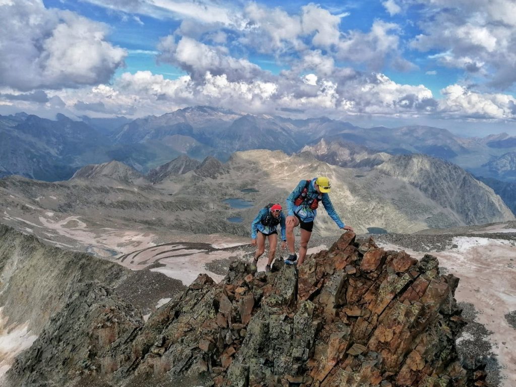
This is a high mountain route, with passes over 2,800 metres high, steep terrain, snow at any time of the year and a significant difference in altitude. A trek reserved for well-equipped mountaineers in good physical shape.
The Vuelta al Aneto is signposted using the markings of the GR11 or Senda Pirenaica long-distance footpath. In fact, it takes advantage of the main path of the GR11 (to the south) and its variant GR11.5 (to the north), to complete an itinerary that circumnavigates the entire massif.
Difficulty
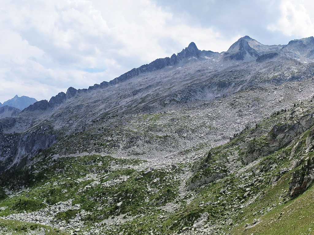
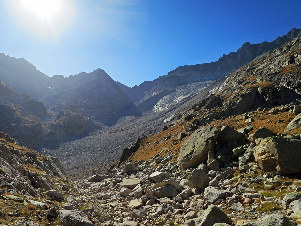
The route runs through high mountain terrain, without a path in some areas and between uncomfortable boulders that slow down the walk enormously, as in the Barrancs valley.
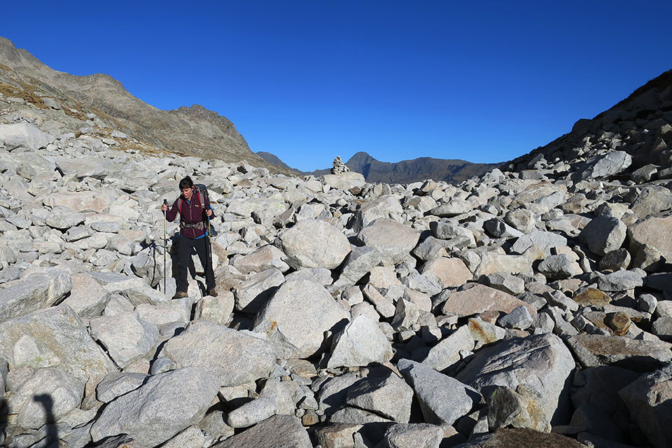
The red and white markings on the GR11 are excellent. However, the painted markings fade over time and in the boulder areas you can lose sight of them. Carrying a map, GPS and tracks can be a great help.
The total distance (38kms) is misleading considering the type of terrain we will be walking over, and the accumulated difference in altitude (+/-2.340m), which should be taken into account.
The greatest technical difficulty is to be found in the Salenques/Ixalenques pass (stage 2), on the steep frozen snow on the west face. Until recently it was usual to need ice axes and crampons all year round. Nowadays, at the end of September and October, they may be dispensable.

In terms of logistics, the trek has become easier since the Cap de Llauset hut was opened in 2016. Since then, together with the La Renclusa hut, the route can be done in 3 days without having to carry everything you need to spend a night outdoors.
Best time
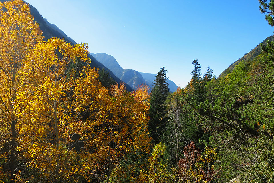
The most advisable time is when the snow disappears, from July to October, depending on the season. As we have already mentioned, in some mountain passes, such as Salenques, the snow can remain all year round. It is advisable to avoid the busiest periods. The months of September and October (even November), when autumn has entered the Benasque valley and the leaves of the trees turn ochre-coloured, is an ideal time of year.
The stages
The route can be done in either direction, although the ascent is more evenly distributed if done clockwise.
| Stage | Distance | Unevenness | Timetable |
| Senarta Plan - La Renclusa Refuge | 13,2kms | +884m / -111m | 6h30min |
| La Renclusa Refuge - Cap de Llauset Refuge | 11,3kms | +1117m / -829m | 10h |
| Refuge of Cap de Llauset - Plan de Senarta | 13,8kms | +337 / -1395m | 7h30min |
Stage 1: Plan de Senarta - La Renclusa Hut
Distance: 13,2kms.
Cumulative difference in altitude: +884m/-111m.
Timetable: 6h30min (4h30min without stops).
Maximum altitude: 2.140m
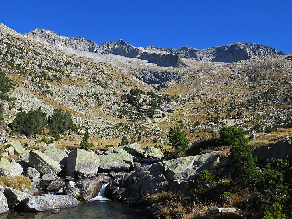
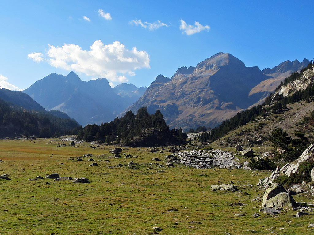
An easy stage that runs through the headwaters of the Benasque valley. At first the path runs placidly, following the course of the river Ésera, through a beautiful mixed forest of firs, boxwoods, hazelnut trees and other species. Then, after climbing up to the Baños de Benasque and descending to the Llanos del Hospital, the forest gives way to an area of completely flat meadows. What was once the basin of an enormous glacier, nowadays cornered in the highest part.
Stage 2: La Renclusa Refuge - Cap de Llauset Refuge
Distance: 11,3kms.
Cumulative difference in altitude: +1.117m/-829m.
Timetable: 10h (7h30min without stops).
Maximum altitude: 2.809m.
This is the most difficult stage. On this second day we finish rounding the Maladeta massif to the north. The vegetation disappears almost completely and it is very difficult to advance through the chaos of boulders. In addition, you will have to overcome the highest pass on the route, the Salenques/Ixalenques pass at 2,809m, which is usually icy. In any case, this stage offers wonderful views of the monarch Aneto and his court.
Stage 3: Cap de Llauset Hut - Senarta Plan
Distance: 13,8kms.
Cumulative difference in altitude: +337m/-1.395m.
Timetable: 7h30min (5h40min without stops).
Maximum altitude: 2.710m.
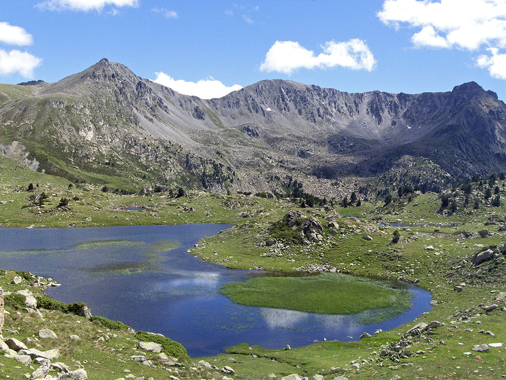
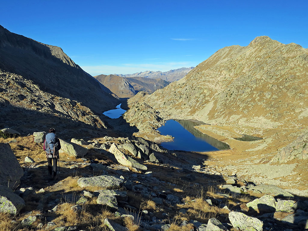
This stage can be divided into two blocks. In the first, between the Cap de Llauset refuge and the Vallibierna lakes, we will move in the high mountain terrain: snow until July, uncomfortable areas of boulders, cliffs... but also the beauty and solitude of a landscape dotted with lakes that compensates for the effort. The second block is simple, running almost all the time along a track on which a regular bus service runs in summer.
PRACTICAL INFORMATION
NECESSARY EQUIPMENT
This list can help you to prepare your backpack. It is an indicative list and it is designed to do the route in summer.
- Documentation and other essentials: ID cards, credit cards, cash, booking information, etc.
- Backpack: 40-50 litre backpack.
- Clothing / accessories: socks (2 spare pairs), pants, pants, 1 pair of shorts, 1 pair of long trousers, thermal T-shirt (1 or 2 spare), thin fleece, waterproof jacket, visor.
- Footwear: waterproof and light boots and if you want flip-flops or crocks for the refuges (the refuges have this type of footwear).
- Ice axe and crampons: Although until recently they were essential all year round to cross the Salenques pass (snow-ice), in recent years they were no longer necessary at the end of September.
- To sleep: A sleeping bag is enough to sleep in the shelters (blankets available). Tent, sleeping bag and a mat will not be superfluous if the shelters are occupied.
- Electronics: mobile phone, camera, front, GPSbatteries, batteries, charger...
- Toilet bag: toothbrush and toothpaste, soap, travel towel, water purification tablets, sunscreen, gauze, adhesive tape, etc.
- Orientation: map (Alpina, Prames, Sua), GPS, mobile applications.
- Various: walking stickssunglasses, toilet paper, bags, razor, lighter, bottlewhistle, whistle, earplugs, food, a book, etc.
ACCOMMODATION
At the end of the stages we will find the shelters kept from La Renclusa and Cap de Llauset. The La Renclusa refuge is in great demand during the summer season, so you will have to book several months in advance if you want to go on these dates.
During the route there are some free refuges that we point out below, as well as other alternatives (hotels, campsites,...) in the Benasque valley.
Within the Natural Park, camping is only allowed in the high mountain mode, at altitudes above 2000m, from 20 to 8h, and at more than 500m from a refuge. Regulations last consulted on the website on 31/10/2021: natural network of Aragon.
In Benasque:
In the town of Benasque / Benás we will find a wide range of accommodation for all tastes.
Stage 1: Plan de Senarta - La Renclusa Hut
- In the Senarta Plan there is a free camping area, which is currently closed.
- Near the Bridge of San Jaime (3 kilometres from Plan de Senarta):
- Camping Aneto
- Camping Ixeia
- Natural Park Guesthouse
- During the stage, in the Llanos del Hospital: Hotel Hospital de Benasque.
- Without crossing the bridge of the Banasque baths, by turning off 200m upstream, you will reach a free fishermen's hut (acceptable, with a fireplace, 2 rooms for 12 and 10 people).
- Heading towards the Forau de Aigualluts, instead of the Renclusa refuge, there is a rather precarious hut.
- At the end of the stage: La Renclusa mountain hut.
Stage 2: La Renclusa Refuge - Cap de Llauset Refuge
- At the end of the stage: Cap de Llauset Hut.
Stage 3: Cap de Llauset Hut - Senarta Plan
- During the stage, at the Coronas bridge, there is a free refuge called, according to the different maps, fishermen's, Vallibierna, Coronas or Riveretes (good condition, 10 places in bunk beds plus 5 on the ground, radio station).
MAPS
Alpina:
- Posets Maladeta Natural Park (Scale: 1/25.000)
- Benasque Valley. Aneto, Maladeta, Posets, Perdiguero (Scale: 1/40.000)
- Aneto-Maladeta (Scale: 1/25.000)
- Vall de Barravés Ribagorça (Scale: 1/25.000)
Prames:
- Aneto-Maladeta (Scale: 1/25.000)
SUA:
- Maladeta-Aneto (Scale: 1/25.000)
Fastpacking is not about going faster. It's about going lighter.
If you come from classic trekking, this is the next step: learning to move with less weight,
more fluid and enjoying every kilometre more.
Join the Outsiders Newsletter and start discovering what lightness feels like.

