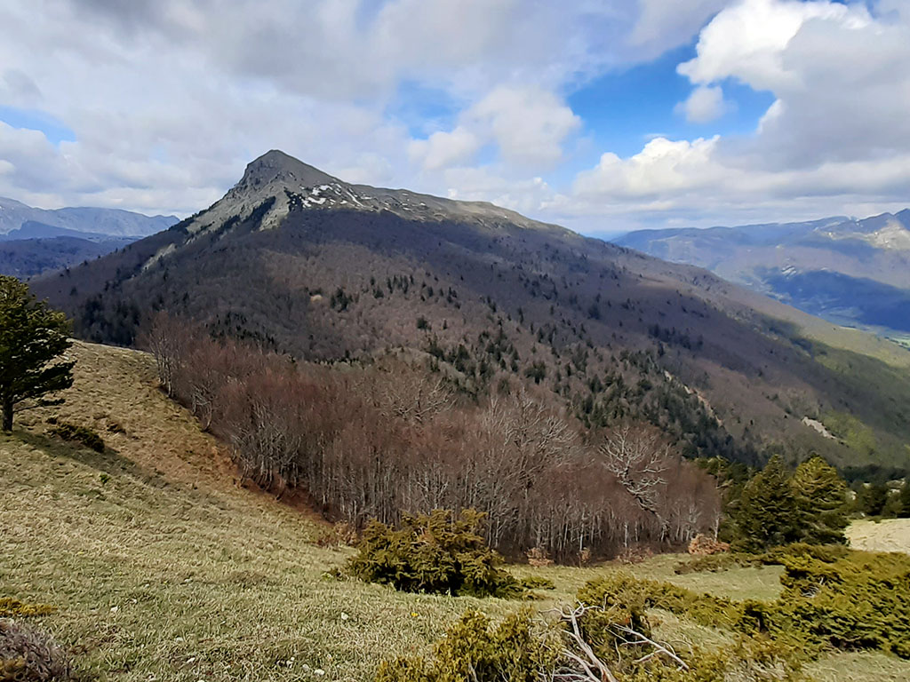
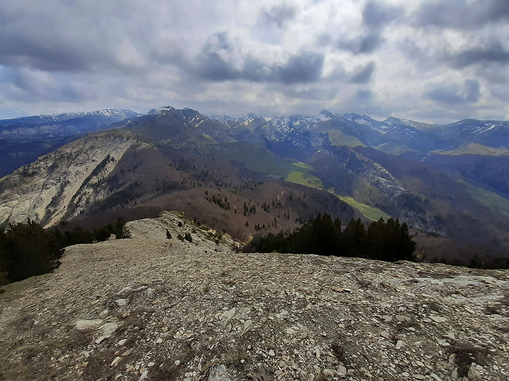
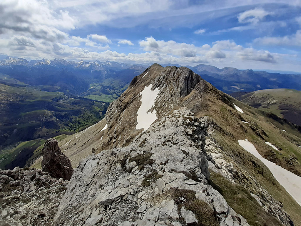
Txamantxoia / Maz (1,941m) and Lapakiza Linzola (2,104m) from the Rincón de Belagua.
Pyrenees and mountains 📩
Here 🔥From Mata de Haya to Txamantxoia by the usual ascent from Arrako. Descent to the Aztaparreta pass and ascent to Lapakiza Linzola. Descent via the Peña del Rey.
Technical specifications:
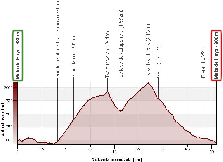
Distance: 20.5 kms.
Cumulative difference in altitude: +1.730m/-1.730m.
Timetable: about 7 hours. Walking time non-stop: 6 hours 35 minutes.
Water: In the lower area there are some streams crossing each other. The spring in Mata de Haya is marked "not drinkable".
Difficulty: the accumulated difference in altitude is significant. Without ice there is no technical difficulty, otherwise, the descent from Txamantxoia to Aztaparreta will be the most exposed.
Recommended equipment: boots or slippers, two walking sticks, canteen, GPS useful.
Itinerary:
(0h00min; 0,0kms) Mata de Haya (980m). This is the starting point for a number of excursions in the area. Among others, there are information panels on the following footpaths: SL-NA 81, PR-NA 203, Sendero de los Sentidos (adapted for wheelchairs), GR 321.2 and the ascents to Lapakiza Linzola and La Mesa de los Tres Reyes. There is also a non-potable spring nearby.
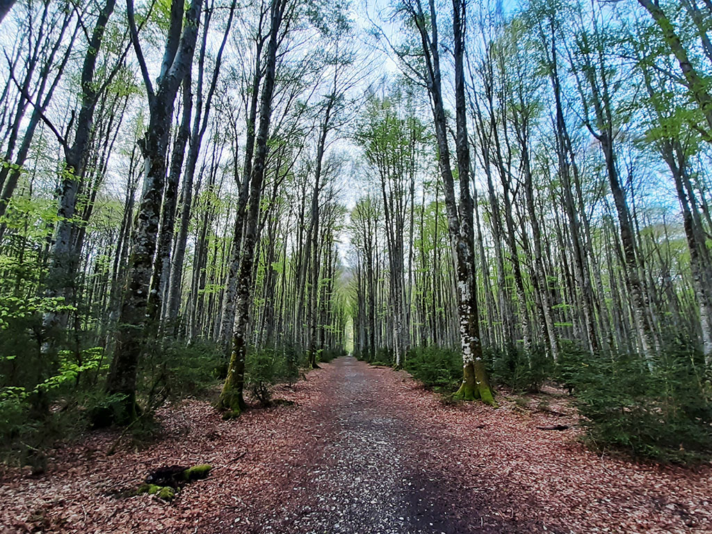
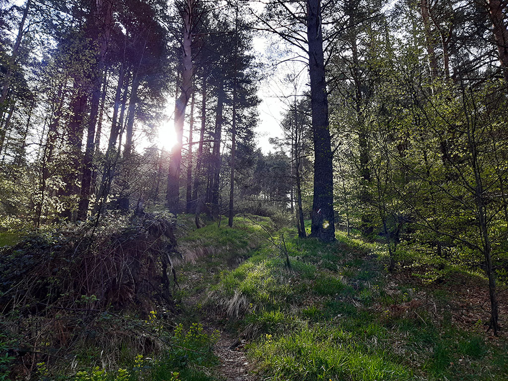
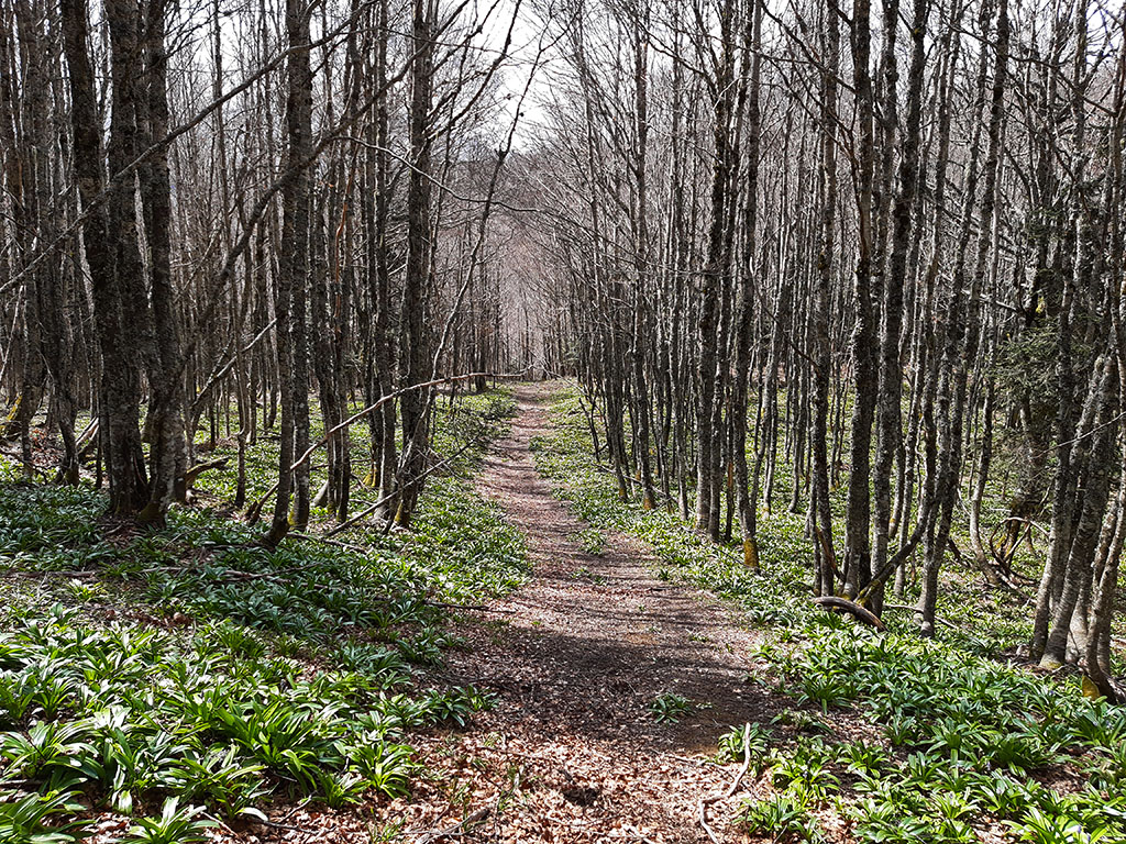
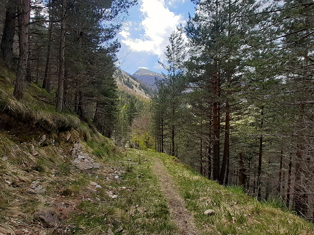
Following the red and white waymarks of the GR321.2 in the direction of Isaba, after passing a barrier, take a detour to the right that crosses a beautiful beech forest.
Although all this part is full of paths, we will have no problems in finding the route if we follow the GR321.2 and SL-NA 81 paintings.
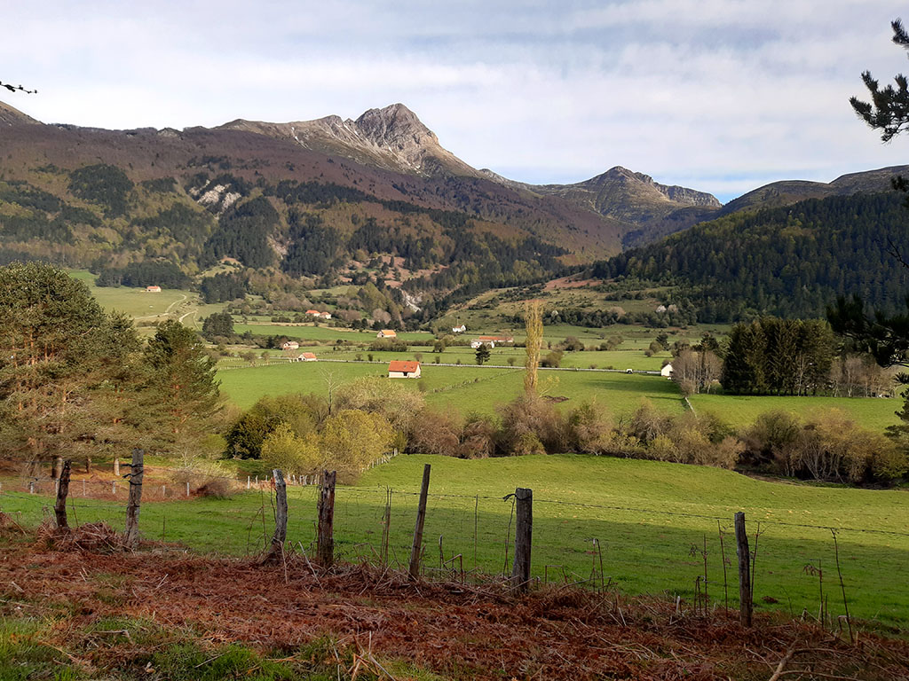
Once on the slopes of Txamantxoia, the path follows the course of the valley downhill. In the area around La Dronda, the GR 321.2 and the local path SL-NA 81 separate (0h25min; 1,6kms). We continue following the signs for the long distance footpath, enjoying the views towards the valley of Belagua, Keleta and Bimbalet.
Further on (0h45min; 3.1kms), our path joins the main route of the GR321 (Camino Real) next to the banks of the river Belagua. The path, which comes from the nearby Arrako car park, the usual starting point for the ascent of Txamantxoia, begins to climb halfway up the slope. After one kilometre, keep an eye out so as not to miss the path up to Txamantxoia, marked with a milestone.
(1h00min; 4,1kms) Path uphill Txamantxoia (970m). At this point we leave the GR321 to take a path to the left. The path goes upwards all the time, without a break, through a leafy pine forest and some beech forest areas.
In about 12 minutes we cross a track. The path continues to climb until it reaches a...
(1h40min; 5,7kms) big clearing (1.392m) where it disappears. Here we turn right, not along the horizontal path, but following some milestones on an ascending path to the right.

After this small bend we continue on our way, gaining metres on the slope. Further up, we will cross a last stretch of trees before coming out onto the meadows at the top, where we will follow the hill without getting lost, enjoying the views.
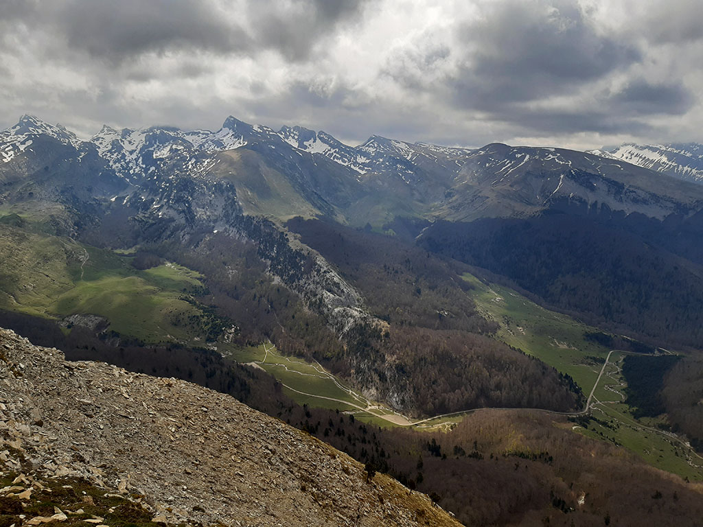
(2h55min; 9,3kms) Txamantxoia / Maz (1.941m). A geodesic vertex and a mountaineer's letterbox crown the summit.
On the other side, Linza and the peaks of the neighbouring Ansó valley.
To go down, descend to the left of the ridge in a northeasterly direction. The path is somewhat diffuse in the first stretch, until it meets a path marked in green and yellow a little further down.
We will follow it until we reach a kind of false hill that we find in the interior of the forest, paying close attention to the moment when it separates from the ridge to start descending to the right towards Linza. At this point we leave the path to descend a few metres down the left (north) slope. It is a matter of advancing close to the ridge following our intuition until we reach the...
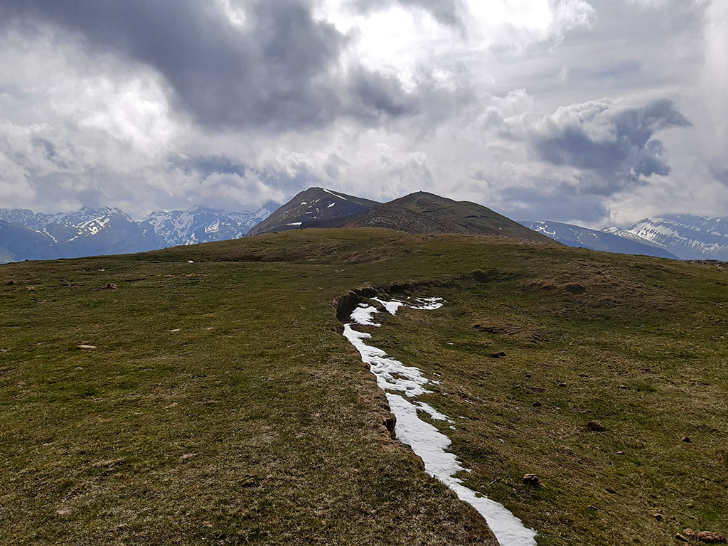
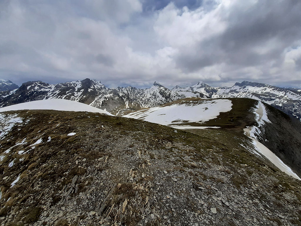
(3h30min; 10,7kms) Aztaparreta pass (1.562m)We then join a well-marked path that climbs up from Linza.
The path leaves the forest behind to continue up the ridge of the crest of the hill until...
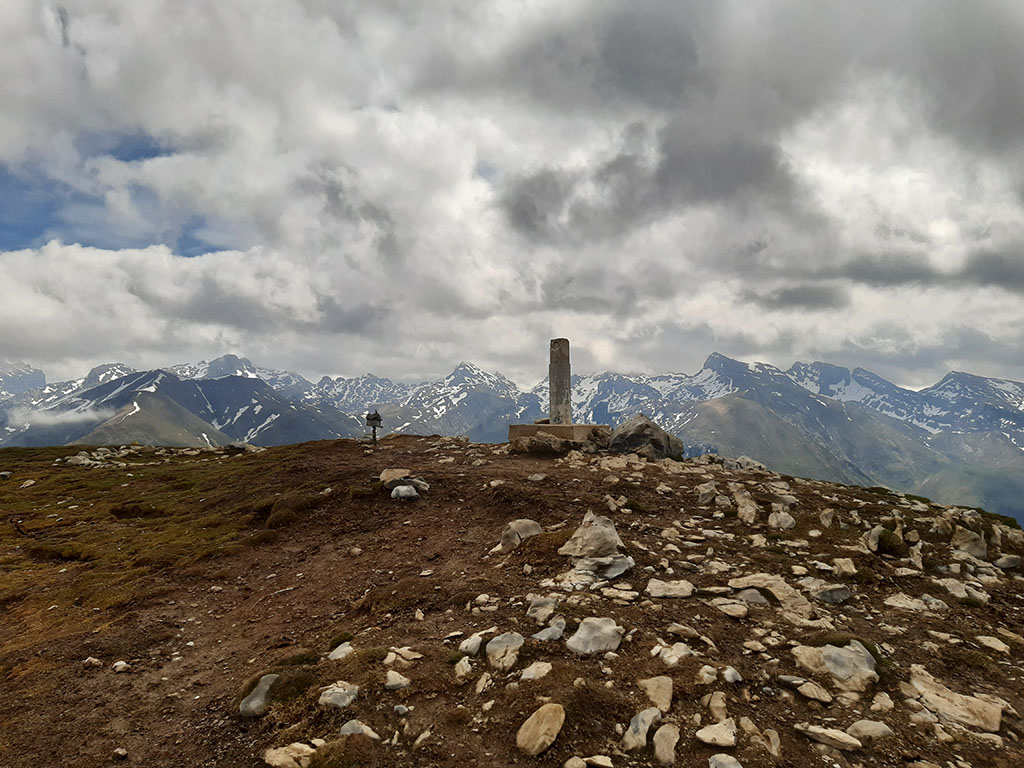
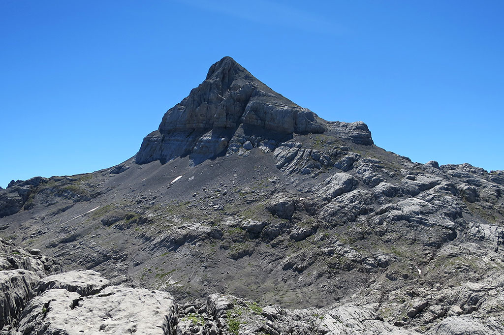
(4h40min; 13,4kms) Lapakiza Linzola (2.104m).

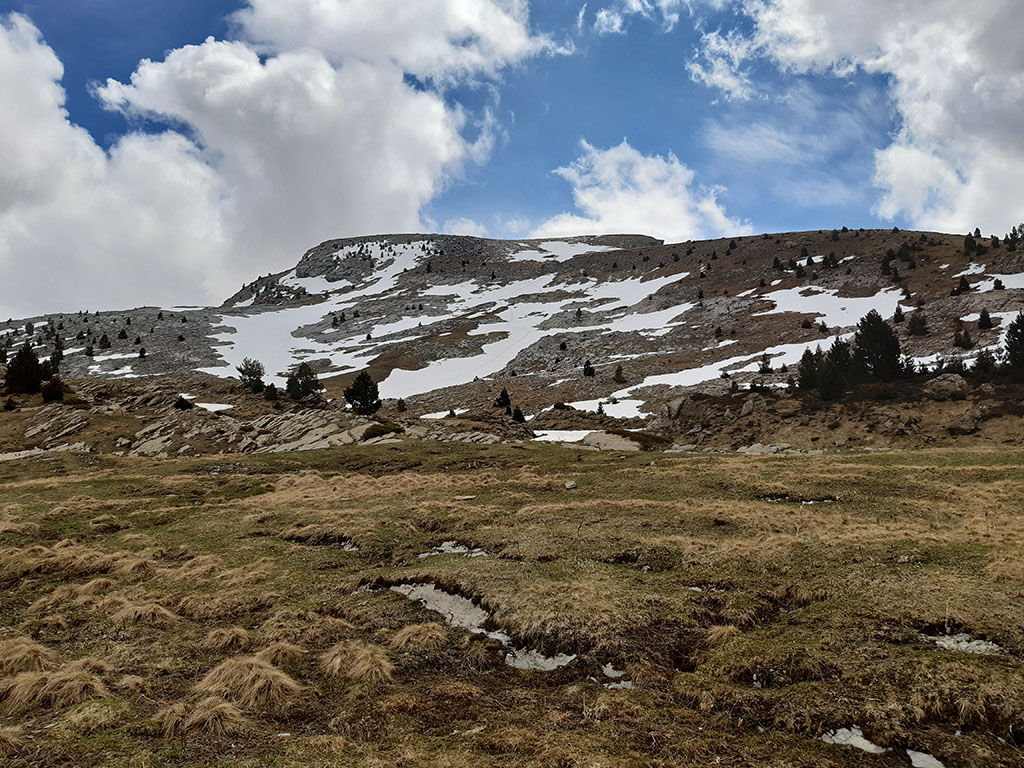
We pass over the corridor that climbs up the west face and start to descend in a straight line in a north-westerly direction, taking advantage of the snowfields if there are any.
In a few minutes we managed to connect with the...
(5h05min; 14,6kms) GR12 (1.767m)The label is perfectly marked in white and red.

We follow it until we reach a pass before Larreria, where we leave the GR to descend following some milestones to the south, along the Peña del Rey path. Another option is to descend from the Larreria pass following the PR-NA 203. In a few minutes we find ourselves immersed in a leafy forest of pine and beech trees.
We easily follow the path that, along the left bank of the ravine, takes us to the bottom of the valley. The next stretch runs along the bed of the ravine (a problem in the thawing season), until it joins a path on the left bank of the ravine, which takes us to the bottom of the valley.
(6h15min; 19,1kms) track (1.035m) coming from the road. From this point onwards, we will find signs and posters of the different routes in the area. Following the white and yellow signposts of the PR-NA 203 we return to the...
(6h35min; 20,5kms) Mata de Haya (980m).
Maps:
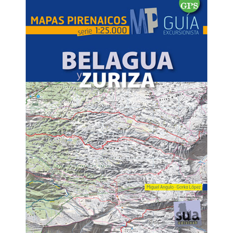
Belagua and Zuriza (Pyrenean Maps).
- Editorial: Sua Edizioak
- Language: Spanish
- ISBN-10 : 8482165887
- ISBN-13 : 978-8482165882
- Publication: 2015
Other nearby routes:
Circular ascent to Larrondo, Keleta, Ezkieta, Lakartxela and Bimbaleta from Arrako (13.3kms; +/-1,440m; 6 hours).
A classic ascent of the Anie from the Piedra de San Martín where we will take the opportunity to crown the Añelarra, the second highest peak in Navarre (14.2kms; +/-1,200m; 9 hours).
Fastpacking is not about going faster. It's about going lighter.
If you come from classic trekking, this is the next step: learning to move with less weight,
more fluid and enjoying every kilometre more.
Join the Outsiders Newsletter and start discovering what lightness feels like.