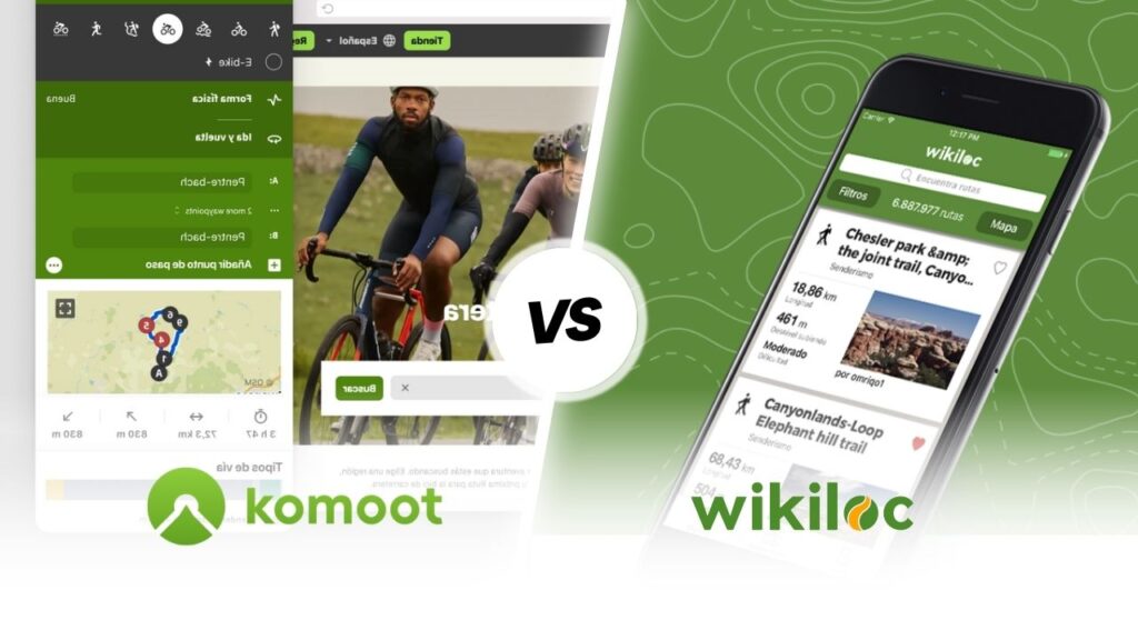
Strava vs Wikiloc

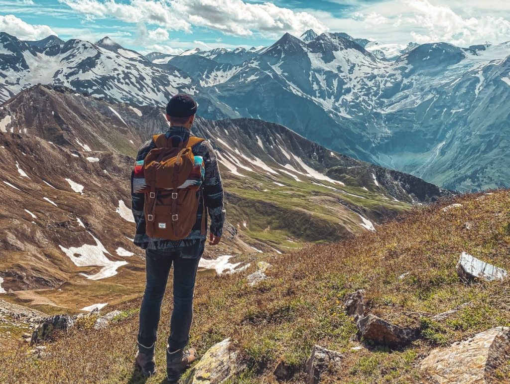
Pyrenees and mountains 📩
Here 🔥Outdoor activities have been growing rapidly in the taste of people who want to disconnect and relieve the stresses of everyday life. This time we present an analysis comparing two of the most popular sports apps worldwide, Strava vs Wikiloc, which will help you to achieve the best fitness and to keep track of your sporting activities.
Comparison between the two applications
Strava is one of the sports apps with the largest number of users in the world (100 million). It also functions as an exclusive social network for all sports enthusiasts. Its segmentation concept and rankings have been an innovative idea in this sector.
Wikiloc is considered by many to be the database with the most routes available today. There are 34 million routes available from all countries of the world, published by its 10 million users.
Relevant features of each application
Strava
The main Strava features are the activity log, your nutrition, your training and performance, routes and segments, and challenges. The app also has a training heat map, and some of its features are more prominent on the website than in the app.
Strava allows the user to search, track, record and generate routes for any sport. In addition, it offers a large number of data analysis for any activity that is recorded: heart rate, speed, distance, elevation change, power, among others.


The app also collects your activity data so you can visualise how you've performed over time. It is compatible with iPhone and Android, as well as certain smart devices such as Apple Watch and Android Wear.
Segments are elements of a longer route and allow you to compare your performance to previous efforts. Since there are many segments, you may review your performance on a specific climb, downhill section, flat run, or off-road route.
The application works with GPS and can also be installed on smart watches such as Polar, Garmin, Suunto, on cycling computers or monitors.
Wikiloc
Wikiloc requires you to go to their website and search for the routes you are interested in, anywhere in the world and for more than 75 different activities.
However, it can also be used as a GPS navigation tool for mobile phones. Through it, you can record your route to be shared with friends or just as an activity log. It is compatible with Android and iOS devices.
Wikiloc makes it possible to display the main data of a route such as: the distance travelled, the time taken, the average speed and the elevation gain.
In addition, it has a highly accurate GPS and can function as an altimeter. It is also possible to track tracks live and download offline maps in GPX or KML format.
In the following video that we have prepared for you by the mountaineer and youtuber Pau Calado tells us in detail how we can use the application, which has recently added "Route Planner" and 3D mapping functionality.
Planning and route creation
Strava
Through the use of Strava Routes for plan a route running, cycling, skiing, kayaking or swimming, just pick two points on the map or connect them by a straight line if you are working from a mobile phone. Strava will determine the best route by taking the data from previous trips recorded. In this way, it will be able to indicate the most used or most direct sections and will consider whether you prefer to ride on road or trail. You can also choose to reduce altitude where possible.
Another option is to choose routes at random. You only need to indicate the approximate distance and elevation and Strava will suggest nearby routes. You can even draw a freehand route on the map, then the application will convert it into a route based on the drawing.
The route information provided by Strava Routes indicates the percentage of road and asphalt, the metres of elevation gain, the distance and the estimated time depending on your physical condition. In addition, you can overlay the heat map, to see which sections athletes have used the most. This is useful when you are not in your usual training zone.
Wikiloc
At Wikiloc you can create a route from the filters it has and so you will establish the one that suits you best according to the characteristics of your preference, such as length, slope, difficulty or activity carried out.
In terms of activities, it offers a wide variety of options such as hiking, mountaineering, running, mountain biking, cycling, kayaking, among dozens of other activities.
With regard to the places where recorded routes are available, the number of countries and cities where it is possible to find a route is extensive. On the website you can see the complete list of countries where you are interested in finding a route.
Through this tool, you can choose the issue that is most important to you, from the degree of difficulty of the route to the terrain conditions and the duration of the activity. Wikiloc offers its users the possibility to access numerous routes located all over the world.
Handling maps and places of interest
Strava
In 2021, Strava updated its application in order to create a Maps section and increase map functions to optimise the functionality of the website.
The maps shown Strava come from Mapbox and are customised for the sports application, including satellite, hybrid and standard views, the latter with mapping features such as isobars and terrain shadows, to easily observe terrain features.
Wikiloc
Wikiloc helps you find the most interesting tracks near the site of interest. This option is one of the easiest to execute, as you only have to type the name of the location in the search box. appropriate and the application will show you all the routes and activities that can be practised in the vicinity.
Same as other applications, Wikiloc requires you to download a file with the map data. You can download, for example, the complete map of Spain or just the map of the community in which you need to find a route, thus reducing the space occupied on your device.
Data and Internet connection requirement
To make use of Strava no data connection required on the mobile phone. All that is required is that the GPS is active. You will only need the Internet to publish the activity when you wish to do so. To record an activity in Strava, you do not need to have data activated.
Wikiloc has offline maps available and a beneficial aspect of them is that they are of the IGN (National Geographic Institute) type. This means that the altitudes and relief of the environment through which the route passes are indicated.
Use as a user community
Strava works as a social network through which you can meet people who are interested in the same activities as you, join clubs in order to go out in groups and participate in forums, conferences, talks or events that catch your attention.
The activity feed is the home screen of the Strava. Here you will see posts that show the activities of the people you are following, as well as your own.
Wikiloc is a platform where users upload the routes they have taken, including photos, maps and descriptions. It can be considered a mapping app, combined with a social network for explorers.
When you finish a training session, you will have the possibility to upload your photos, tell us your impressions of the training session and provide any comments you consider useful. All this with the aim that in Wikiloc continue to increase the number of routes available.
Estimated costs of implementation
Strava
Strava was restructured in 2020 with the intention of expanding the service offering in the subscription version, formerly called Summit. There is currently a free version and a subscription version.
The subscription costs 7.99 euros per month and includes:
- Route planning and suggestions.
- It combines walks and runs with a performance assessment.
- Training record.
- Tables to classify the segments.
- Live segments on compatible devices.
- Trends and comparisons on monthly activity.
- The setting of goals or objectives.
- Heat maps of activities.
- Plans for training.
Wikiloc
The downloading of Wikiloc is free of charge, but to enjoy additional features you will have to pay for Wikiloc Premium, The annual price is 9.99 euros or 4.99 euros for a quarter.
In the Premium version you will have the possibility to obtain the following functionalities:
- Outdoor Navigation.
- Search according to the zones of passage.
- Send the route to your Garmin device.
- Live monitoring.
- Meteorological data.
- Photo scanning.
- Route search by user.
- Advanced filters.
- Routing lists.
Conclusion
After reading the comparative analysis of Strava vs Wikiloc, you may notice that both are part of the group of leading apps in the sports sector. Each has its own characteristics and offers benefits to the user. Therefore, the use of any of them should be done considering the preferences and needs in each case.
Fastpacking is not about going faster. It's about going lighter.
If you come from classic trekking, this is the next step: learning to move with less weight,
more fluid and enjoying every kilometre more.
Join the Outsiders Newsletter and start discovering what lightness feels like.