Agüerri (2,447m) and more, from the Gabardito refuge.

Pyrenees and mountains 📩
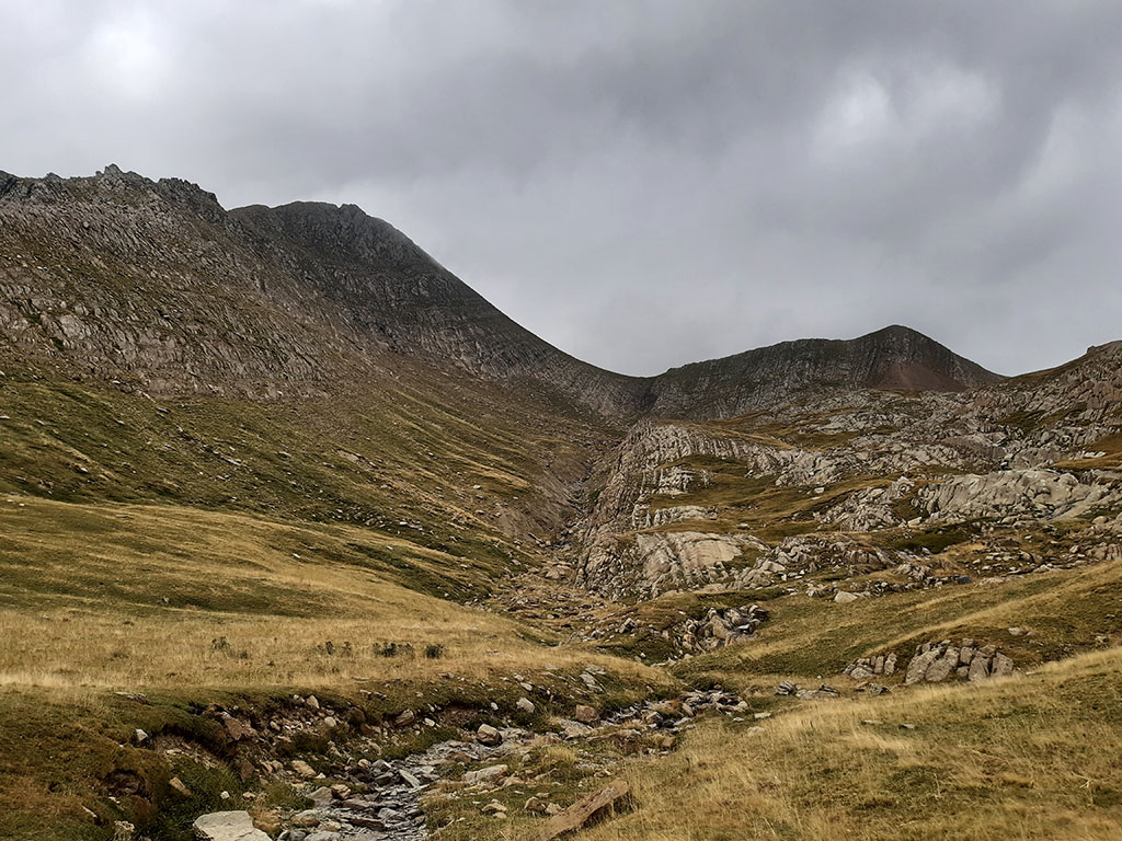
Here 🔥This week we go to the Hecho valley to move up to the Agüerri (2.447m)The second highest mountain east of Aragon Subordan after the Bisaurín. A beautiful peak in the shadow of the Bisaurín (perhaps that is why it is kept safe from the crowds) that we can easily distinguish from a distance, to the south of the Pyrenees.
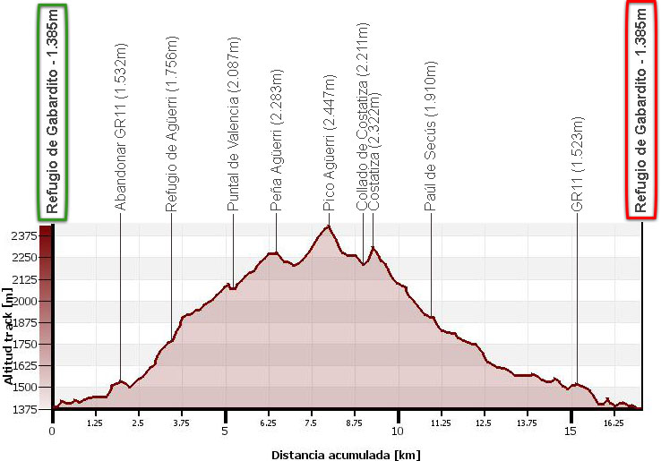
The proposed route runs along the ridge that rises to the west of Agüerri, from the Puntal de Valencia (2,087m) until Agüerri (2.447m)through Peña Agüerri (2,283m)with the Costatiza (2.322m) on the descent. A beautiful route to the second highest peak in the area, much less frequented than its neighbours Bisaurín or Acher Castle.
Technical specifications:
Distance:17.0 kms.
Cumulative difference in altitude: 1.410m.
Timetable:About 7.5 hours. Walking time non-stop: 6h25min.
Water: There is a spring near the Gabardito refuge. During the descent there are some streams with the problem of being a livestock area.
Difficulty:The ascent to Puntal de Valencia, like the route along the ridge to Peña Agüerri, is off-trail. With snow or ice, the final part of Pico Agüerri is exposed.
Recommended equipment for the summer: boots or slippers, walking sticks, GPS optional, etc.
ITINERARY:
(0h00min; 0,0kms) Gabardito refuge - New parking (1.385m). At the end of the car park, just above it, you will see a path that heads eastwards through a thick forest of pine and beech trees. Shortly after starting, you will see a fountain at the bottom left. The path soon joins a parallel path that comes from the refuge along which the GR11 runs (0h10min; 0,7kms) and soon turns into a path. We go up the right slope of the Agüerri ravine (left bank), pass a rocky area with an enormous gendarme, the "Puntal de los Porquez" and arrive at the crossroads where we leave the GR11 for good.
(0h30min; 1,9kms) Leave GR11 (1.532m). Continue straight ahead on a path that descends to the bottom of the valley and continues ascending on the other side. Shortly afterwards (0h40min; 2,6kms) some milestones mark the path to Agüerri on the left. With a bit of intuition we cross an area of boxwoods and cross a small plinth that gives way to clear terrain. The path ascends somewhat diffusely to the right of the Secús ravine (left bank).
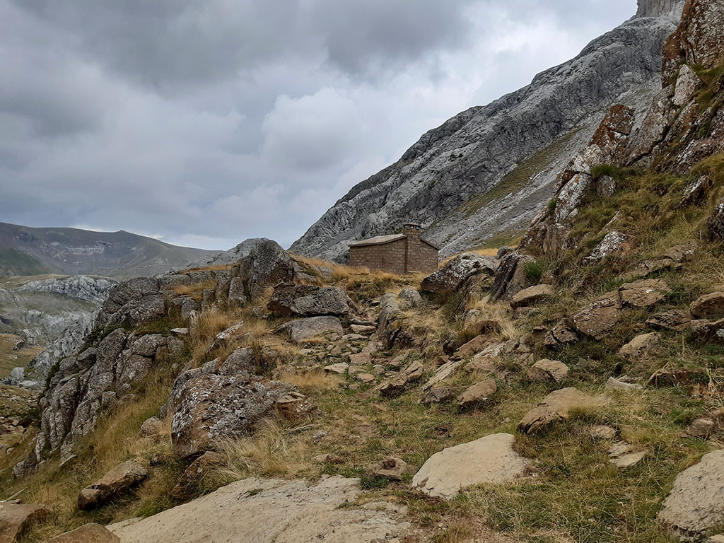
(1h05min; 3,3kms) Agüerri Hut (1.756m).
We leave the path at the height of the refuge, just at the moment when the milestones of the normal ascent to Agüerri reappear. Cross the ravine and go left, halfway up the slope. Although there are some horizontal cattle trails, it is a good idea to keep gaining height so as not to suddenly find yourself under an area that is difficult to cross. We climb towards the base of the rocky strip to find a passage through the karst (1h30min; 4,0kms). After a short, somewhat convoluted stretch we come out to a grassy area (1h40min; 4,2kms) that we walk in a westerly direction to a small hill from where we can see a large part of the route to Puntal de Valencia.
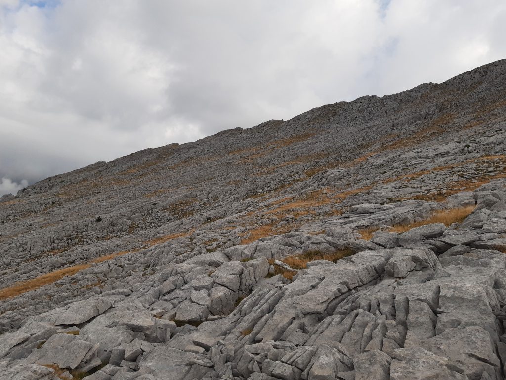
Trying to locate from here the most logical route through the lapiaz, we will continue ascending towards the ridge, as close as possible to the...
(2h05min; 5,2kms) Puntal de Valencia (2.087m), the westernmost of the points that make up the summit ridge.
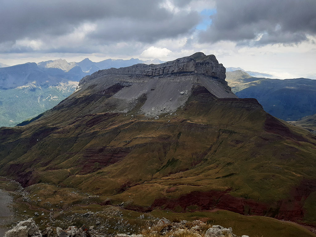
The route continues along the ridge, avoiding the most rugged sections on the southern slope, up to Peña Agüerri, which accumulates a chaos of blocks on the summit.
(2h35min; 6,2kms) Peña Agüerri (2.283m).

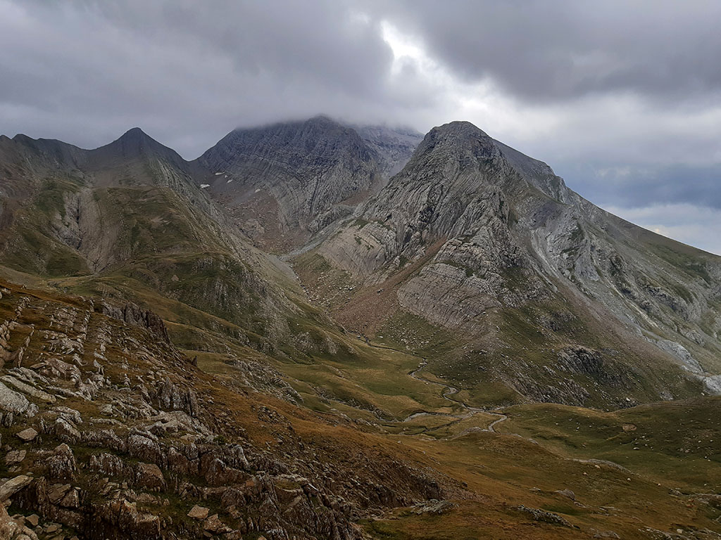
Instead of continuing along the crest, it is preferable to descend along the southern slope until we find a path that flanks Peña Agüerri and descends to a pass where we rejoin the normal route to Agüerri. Continue along the crest and then along the northern slope, close to the crest. The milestones lead to the northern slope, just below the summit, to an area that can be very exposed with snow or ice. Without snow, this section leading directly to the summit does not present any notable difficulties.
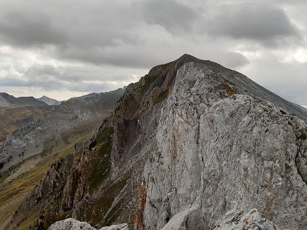
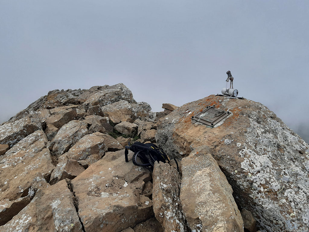
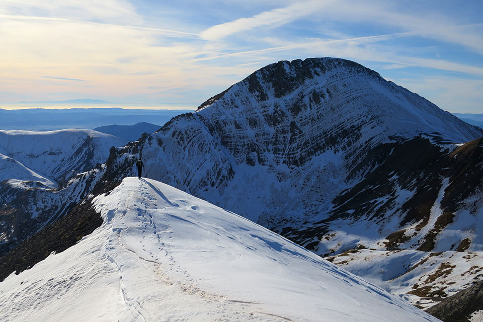
(3h25min; 7,9kms) Agüerri Peak (2.447m). Nice views towards the Castle of Acher, Costatiza, northwest face of Bisaurín and the rest of the neighbouring peaks.
We descend by the same place until we reach a marked path that we saw on the way up (3h30min). The path descends steeply towards a pass located to the north of Agüerri, leaving the characteristic slabs of the north face to the right. We pass a small height and descend to the...
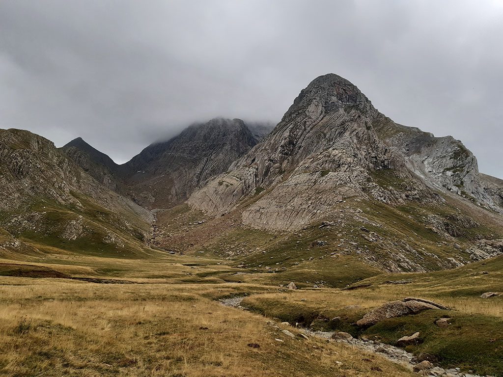
(3h50min; 9,0kms) Col of Costatiza (2.211m), under the homonymous peak. Once here, for the same price, we can take advantage of the opportunity to climb the...

(4h00min; 9,3kms) Costatiza (2.322m).
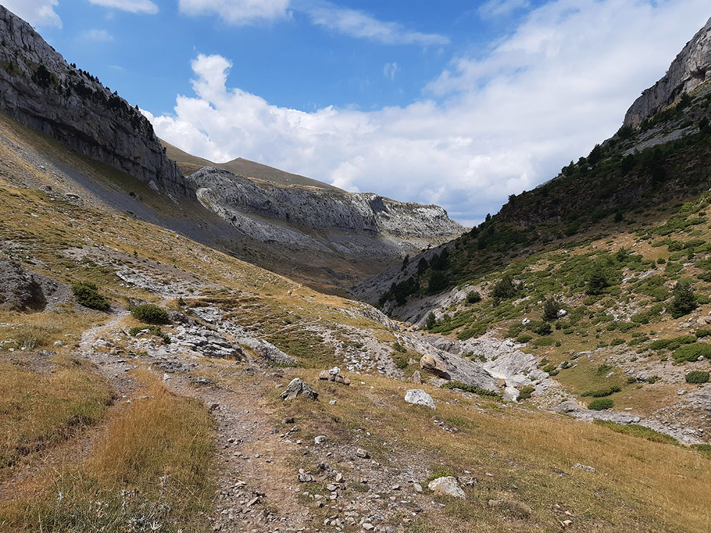
Once again at the Costatiza pass, we descend to the east, towards Paúl de Secús. At first through a muddy area with very sticky rock and then through grass.
Although there are no marked trails, finding a logical route is no problem.
(4h40min; 10,9kms) Paúl de Secús (1.910m)The water from all the peaks in the area is collected in a large basin in a single stream.
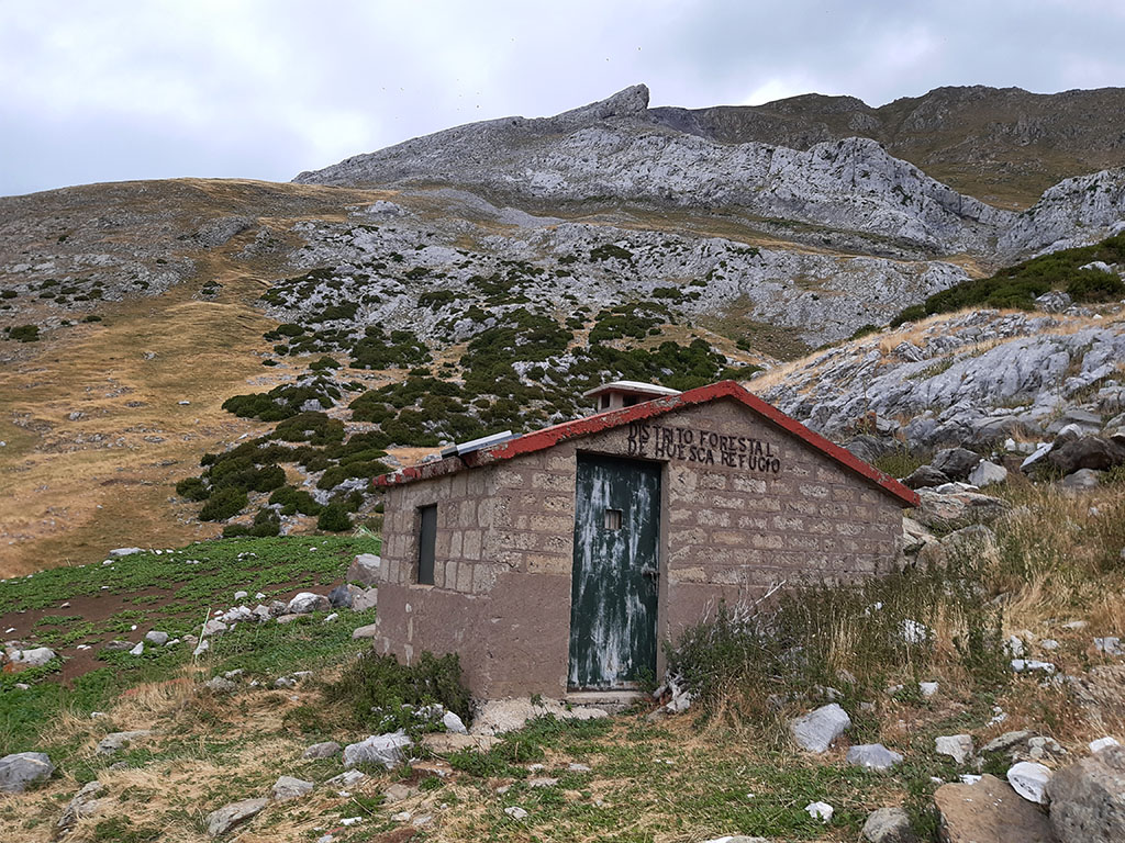
A barely marked path at the beginning descends along the right bank to the vicinity of the Secús hut (4-5 places, good condition).
Without crossing it, the path descends towards the river and changes banks. Continue down the left bank until you reach the main valley, where it turns to the right (west).
The path changes to the right (5h25min; 13,4kms) and continues descending gently until it meets again the path that climbs (5h40min; 14,5kms) to Agüerri.

Following the same path as on the way out, we return to the red and white markings of the...
(5h55min; 15,2kms) GR11 (1.523m) that lead us to the...
(6h25min; 17,0kms) Gabardito refuge - New car park (1.385m).
NEARBY YOU MAY BE INTERESTED IN
Pico de Secús is one of those summits for those who seek solitude. Its peak is isolated, differentiated from the rest of the...

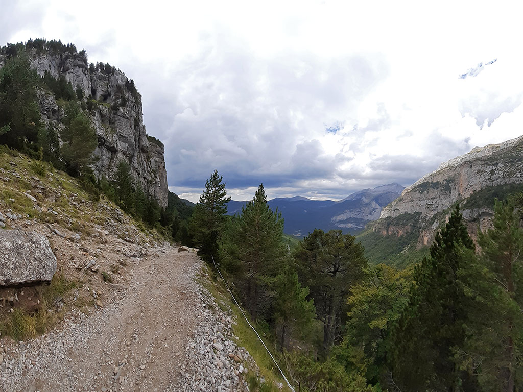
Circular route from the Cleta car park, in the Aísa valley.
(13.6kms; 1400m; 6-7 hours; F+ climbing)