Tour of the Aneto. Stage 1: Plan de Senarta - La Renclusa Refuge
SUMMARY:
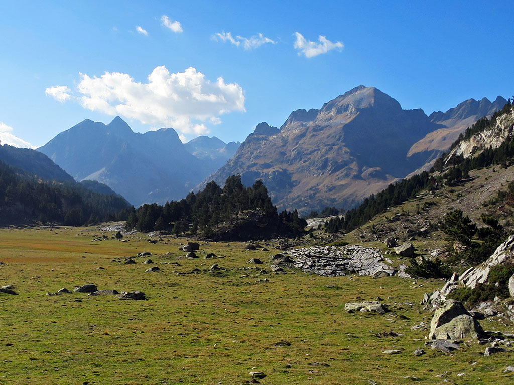
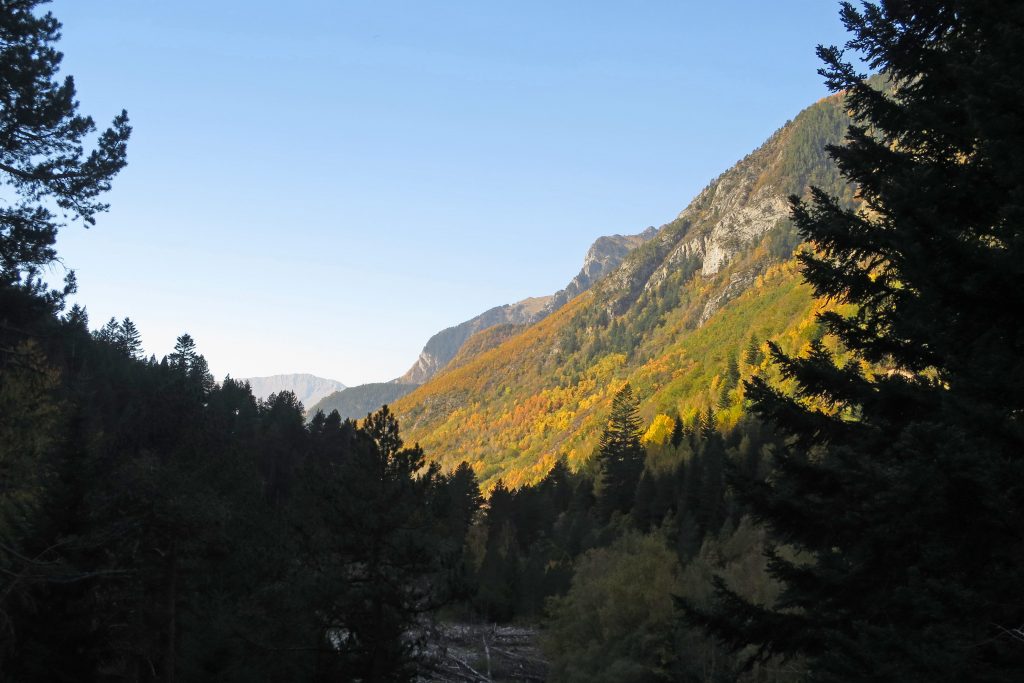
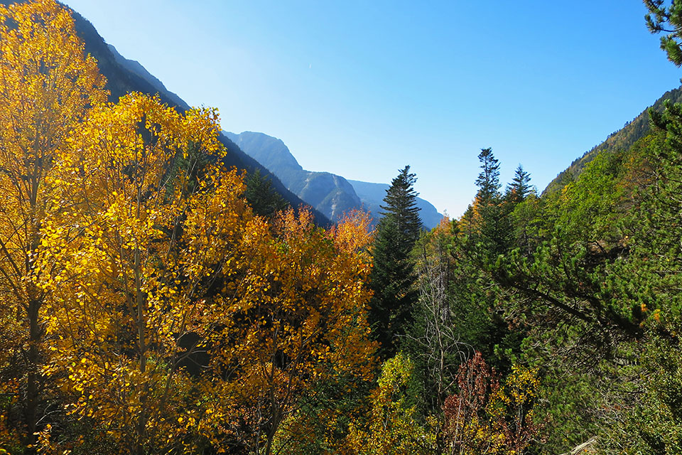
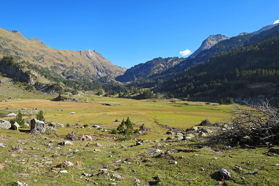
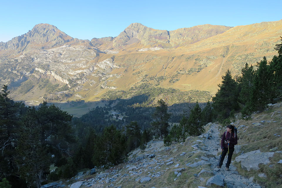
An easy stage that runs through the headwaters of the Benasque valley. At first the path runs placidly, following the course of the river Ésera, through a beautiful mixed forest of firs, boxwoods, hazelnut trees and other species. Then, after climbing up to the Baños de Benasque and descending to the Llanos del Hospital, the forest gives way to an area of completely flat meadows. What was once the basin of an enormous glacier, nowadays cornered in the highest part.

DOWNLOADABLE:
Technical specifications:
Distance: 13,2kms.
Cumulative difference in altitude: +884m /-111m
Timetable: about 6.5 hours. Walking time non-stop: 4h30min.
Difficulty: easy stage. Well signposted.
Water: Although you will pass several streams along the stage, you will have to be careful due to the presence of livestock. You will also pass some of the springs indicated in the description and a couple of bars in Baños de Benasque and La Besurta.
ITINERARY
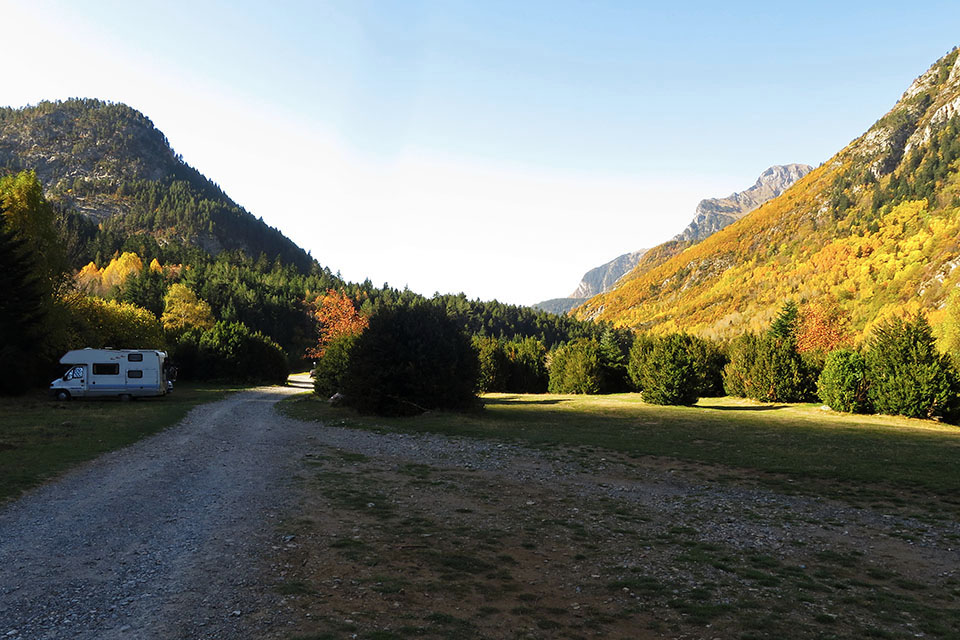
(0h00min; 0,0kms) Plan de Senarta (1.362m). Parking.
Continue along the track up the valley. After 200m you pass a crossroads (right). The track enters a mixed forest of fir, box, hazel, birch and other species.

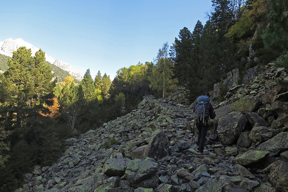
Shortly before the entrance to the Cregüeña valley, bridge and path to the lake (3h30min), we pass the fountain of San Farré.
(0h45min; 2.2kms) Bridge of Cregüeña (1.465m). The track continues along the right bank to the Puente de los Baños (13 minutes). Without crossing the bridge, following the river, you reach a free refuge and a fountain. Cross the bridge and continue along the ascending path until you reach the road to the Baños de Benasque. On the way you will cross a couple of streams.
Continue along the road to the...
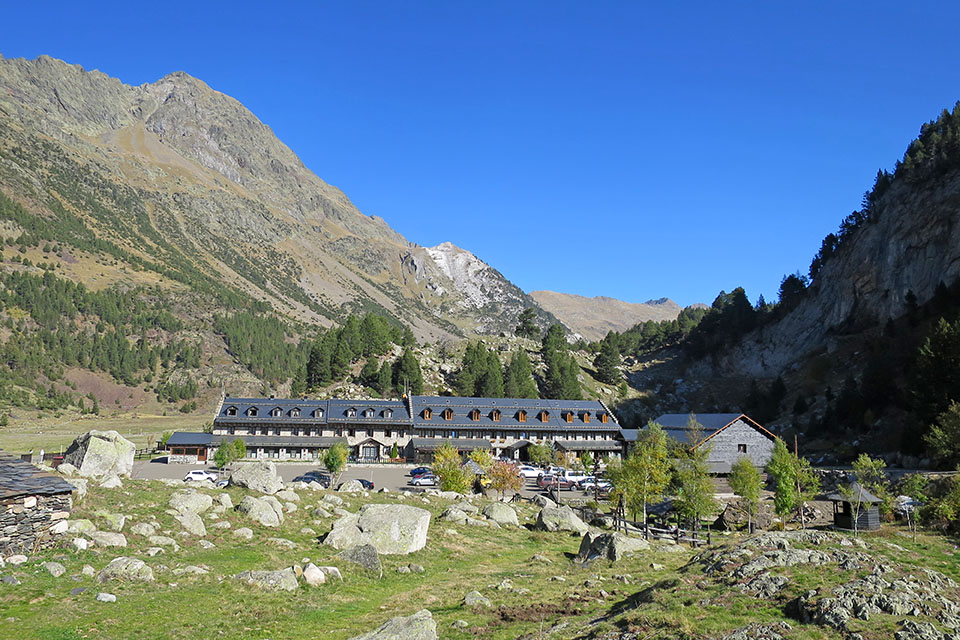
(1h20min; 4.0kms) Baños de Benasque (1.660m).
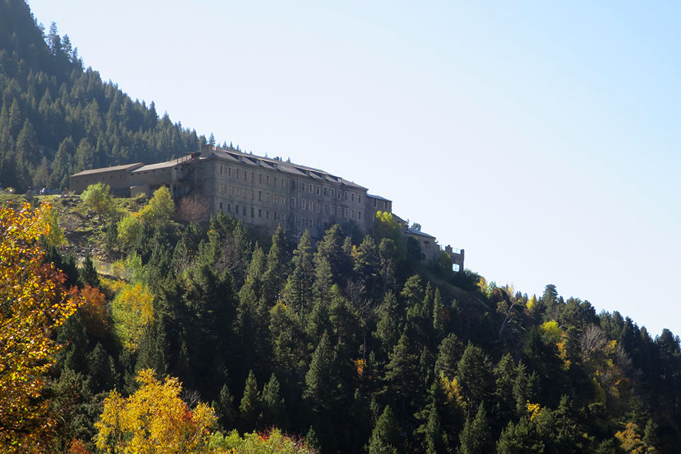
Spa, hotel and bar (only in summer). Just before the baths we take a path to the left towards the Hospital de Benasque. In 8 minutes we pass the junction that goes up to the Pico de Alba and a stream that may be dry. Further on we pass another stream (25 minutes from Los Baños). We ascend a kind of hill and start the descent to the Llanos del Hospital road.
Follow the road to the right, or go down to the river and continue along the path to the nearby...
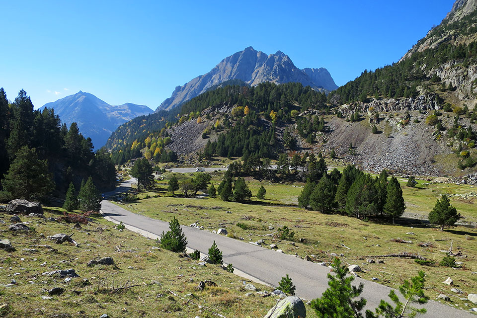
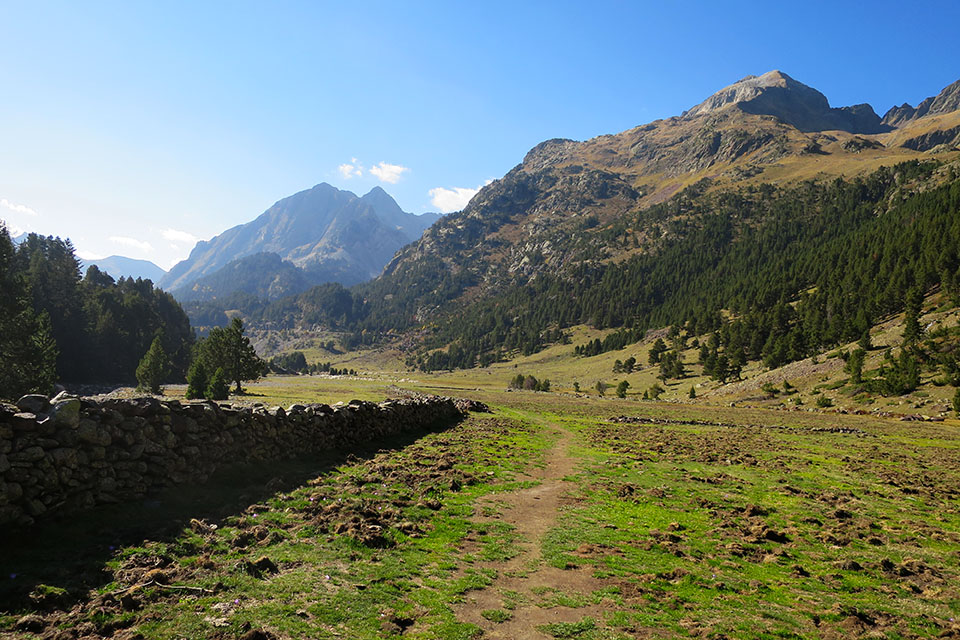
(2h40min; 7.6kms) Hospital de Benasque (1.750m).
On the left is the start of the path that takes us to La Besurta, crossing the Llanos del Hospital.
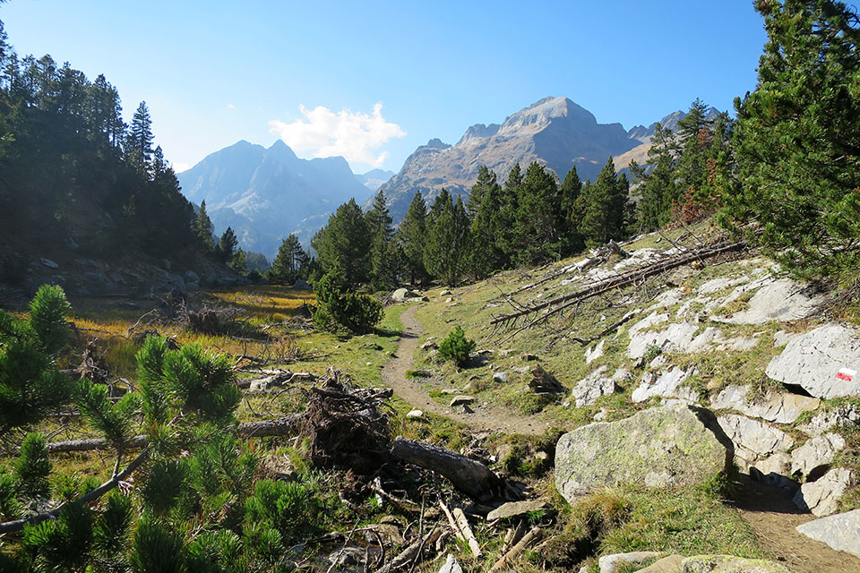
Half a kilometre further we cross a stream over a lever (small wooden bridge). Shortly afterwards the Portillón de Benasque path comes out on the left. The path zigzags up to Pleta del Tormo, passes Colladeta dels Aranesos and comes out at Plan d'Estan, where it meets up with the rickety road that goes up to Besurta.

The GR11 crosses the road and in 15 minutes you reach...
(3h50min; 11.5kms) La Besurta (1.897m). Small car park, bar and toilets. In summer there is a bus service from Benasque. We cross a small bridge over a stream. In 12 minutes we reach the crossroads that leads straight on to the Forau d'Aigualluts. If we are not going to spend the night at La Renclusa, we continue straight on towards the Forau d'Aigualluts. Otherwise, take the path to the right that will take you up to the Forau d'Aigualluts in half an hour...
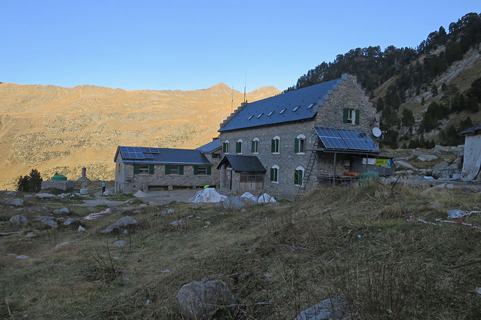
(4h30min; 13.2kms) Renclusa Hut (2,140m).