The Viceroy of the Pyrenees: The Silent Conquest of El Posets
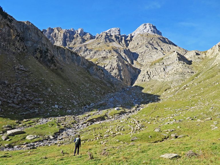
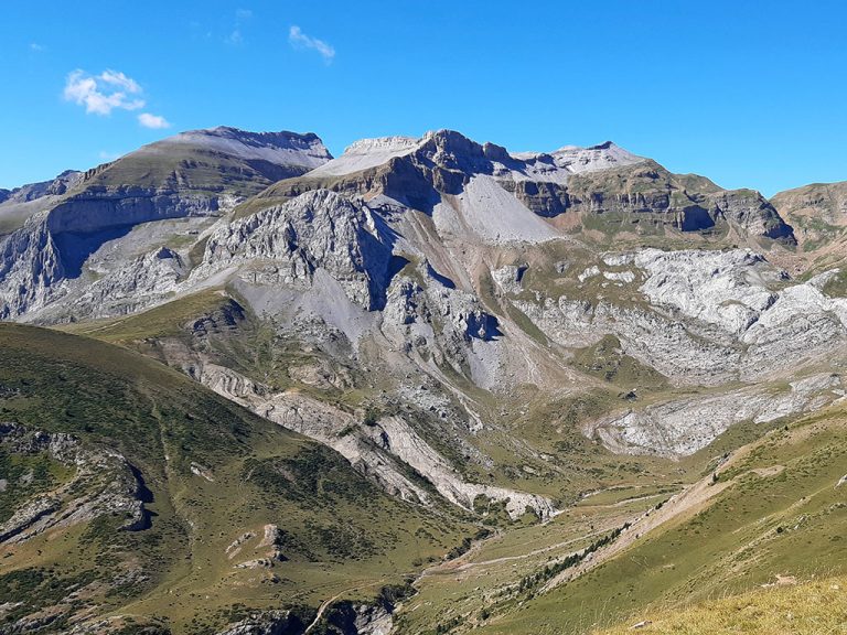
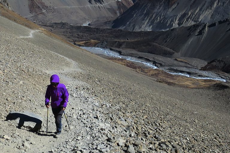
The Posets, the second highest peak in the Pyrenees, was the last of the great Pyrenean peaks to be conquered.

The Posets, the second highest peak in the Pyrenees, was the last of the great Pyrenean peaks to be conquered.

The Orgi Forest is a relict of the ancient humid oak groves that, 4000 years ago, covered the area and extended over a large part of Europe. Nowadays, they are a rarity on the Iberian Peninsula, and can only be found in a few valleys in Alava and Navarre.

We analyse all the models on the mountain GPS market suitable for activities such as hiking, mountaineering, ski mountaineering or trail running.
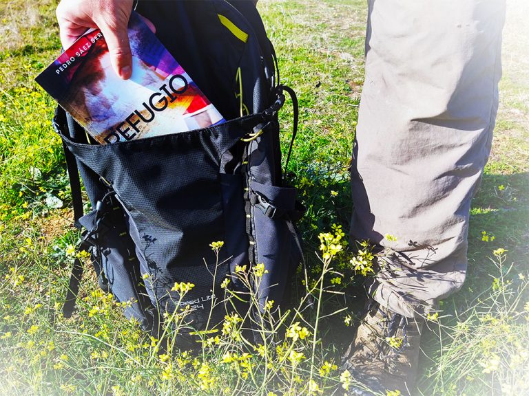
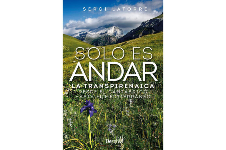
This week we bring you a careful selection of mountain books set in the Pyrenees. Ten books that you can't miss in your Pyrenean library.
The Chinebral de Gamueta is an ideal mountain for beginners in the Pyrenees. This circular route climbs up the usual route of the Paso del Caballo and Paso del Oso and descends through the Barranco de Gamueta ravine.

The Sistema Central is a paradise in autumn. Discover these 6 places to enjoy the dry leaves and the colours that dress the beech, oak and chestnut forests, among others, at this time of year.
Africa can be a great trekking and mountain destination if you know where to go. Discover the best treks and climbs across the continent.
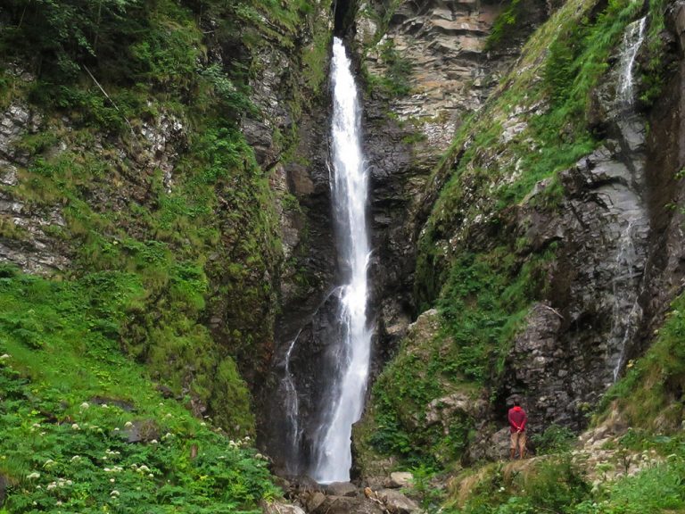
The Cascade d'Enfer, 11 km from Bagneres de Luchon, is one of the most beautiful waterfalls in...
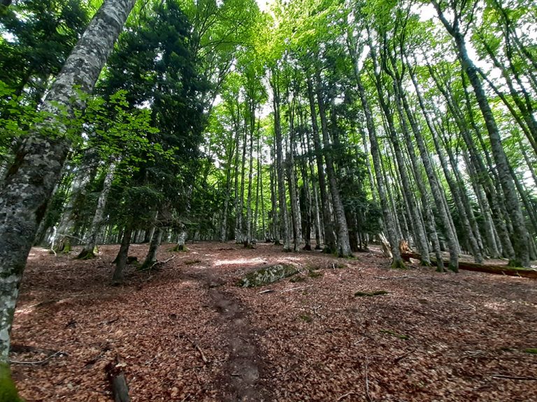
We are going on a route to the heart of Irati, one of the largest and most important beech and...
The Château D'Acher, in the Parc Naturel des Vallées Occidentales, is one of the must-see climbs in this part of the Pyrenees.
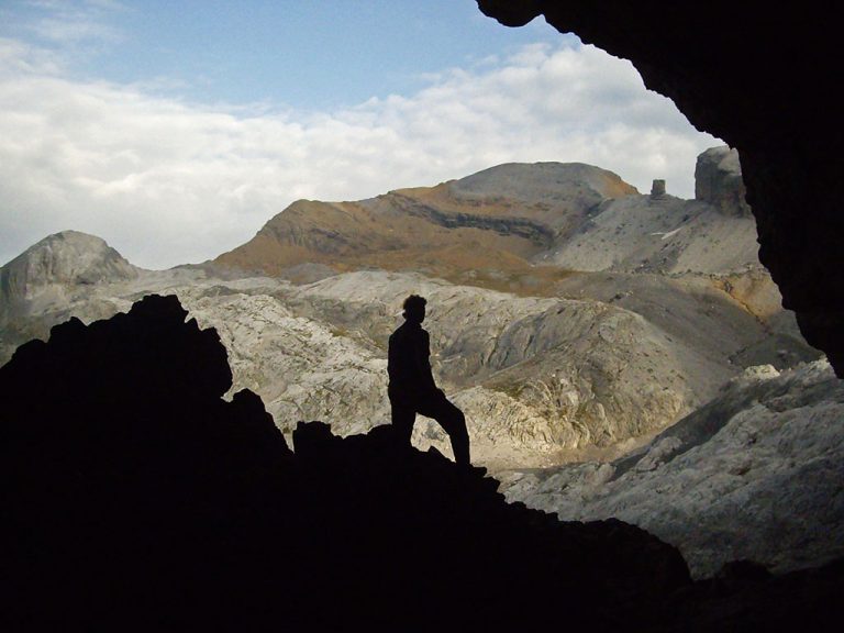
The Casteret Frozen Grotto, in the Ordesa y Monte Perdido National Park, is one of the last caves with fossil ice in the Pyrenees.

Ascent passing the Babú, Sellón and Cuetu les Duernes peaks and descent via the Beluenzu pass, the Bustaco and the Biescona or Riega de Toya beech forest.
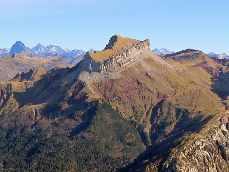
The Peña Forca, together with the Rincón de Alano and the Lenito peaks, form an impressive cirque of towers and limestone walls that jut out to the west of the Selva de Oza, and which form the finishing touch to the elongated Sierra de los Alanos.

The Rolando or Roland Gap, in the Monte Perdido massif, is a...
Very long and steep circular route to the westernmost peaks of the...
The Pyrenees have 217 peaks over 3,000 metres, of which 126 are easy, i.e. they are graded F or F+.
The GR11 is a path of more than 800 km that crosses the Pyrenees from Cape Higuer, in the Cantabrian Sea, to Cap de Creus, in the Mediterranean.
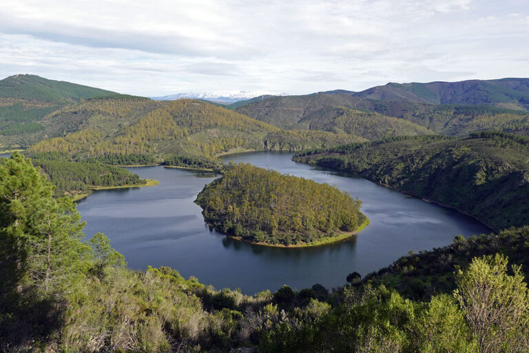
Las Hurdes and Las Batuecas form a mountainous territory of great natural, scenic and cultural wealth, which needs to be discovered in peace and quiet.
We interviewed Noelia Novoa, canyoning guide, speleologist, explorer and mountain lover, she changed her life.
Mohammed's Pass, Mohammed's Bridge... is it one, is it the other, are they both correct? Well, the correct one is Mohammed Bridge and no, it doesn't matter what you call it, don't make that mistake.
This week we are going on a route through the north of Navarre to climb up to the...
Circular route from Montanchez in which we will visit its famous chestnut grove and the Garganta de los Molinos. The route starts by following the local path of the "De donde nace" route, which coincides with the Ruta del Castañar, to leave it after 45 minutes in Roblegordo and descend in search of the "Camino de las Vaquerizas" and then to the Garganta de los Molinos. We will return via this gorge and through the lower part of the chestnut grove, the part we had missed on the way out.

Ascent to Pico de Casillas or Alto del Mirlo from El Regajo (Tiemblo chestnut grove). Ascent via Portacho del Pozo and Cerro de la Encinilla (optional); descent via Cuesta del Enebro and Laderas de Garrido.
Although a trekking pole looks like a fairly simple contraption, there are a number of features, and not a few, that we need to be aware of.
Quick guide to TREKKING SEVERAL DAYS in the Pyrenees with everything you need to know before...