The Camille Trail
Pyrenees and mountains 📩
Here 🔥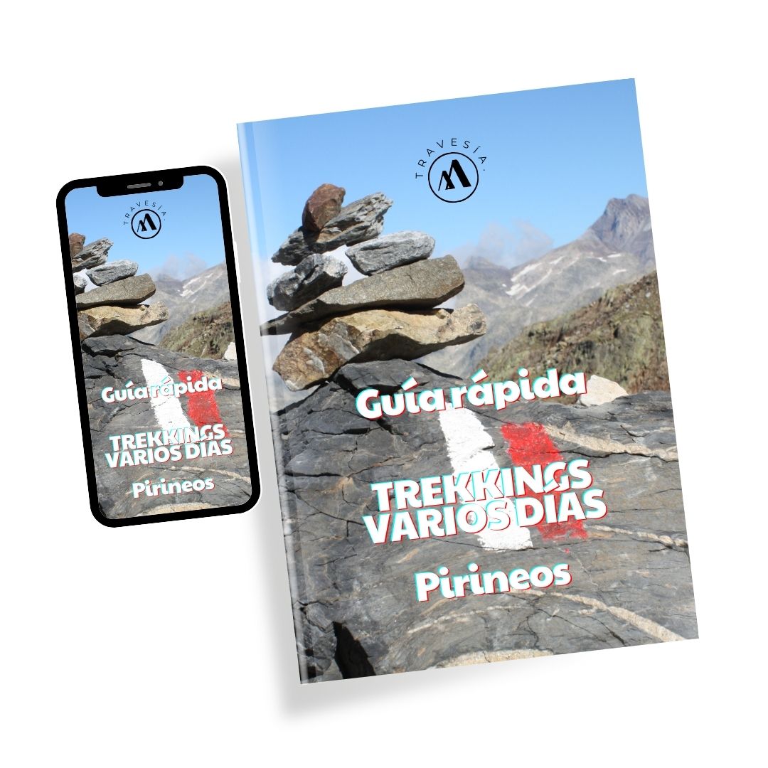
Quick guide TREKKING SEVERAL DAYS in the Pyrenees
with everything you need to know before undertaking a multi-stage circular route.
The Camille's path is an original and circular hiking route in the heart of the Pyrenees, which emulates the steps of the Pyrenean brown bear "Camille" who lived in this area of the mountain range of unique beauty; here we explain how to do it, as well as some recommendations to better live the experience.

Camille's domains
This "region", located between the Aragonese Pyrenees and the French Pyrenees, was the last one inhabited by Camille, who was the last Pyrenean brown bear (ursus arctos pyrenaicus) - in 2010 was the last time he was seen - who lived in the wild in this, his region of origin.
What you need to know about the Camille Trail
Here are some recommendations and characteristics of this hiking route.
How to make the Camille Trail
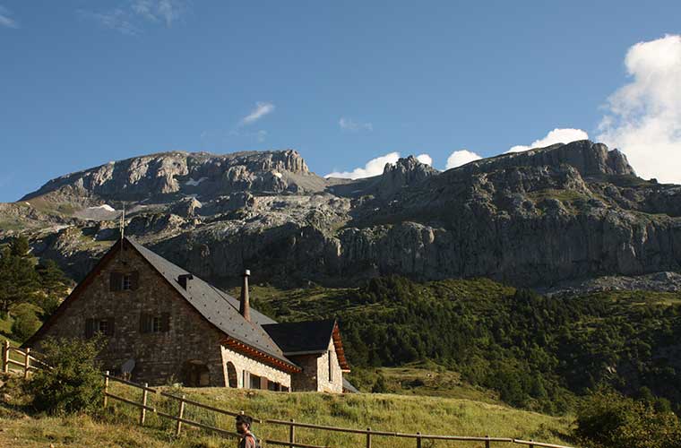
To do this circular route, you can start the route at any of the 7 refuges that make up this route, with Somport being the closest if you are coming from Catalonia, those of Lizara or Gabardito arriving from the south, or Linza for those arriving from Navarre. The most difficult to access is the Arlet hut, as in this case it is located in a national park and far from road access.
The route can be done on your own and booked one by one in the refuges of your route, or you can arrange the joint booking of the refuges through the website of the route. You can also do the route with the support of a guide.
Duration of the Camille Trail
The entire route is recommended to be done in 6 or 7 stages, which range from 4 to 10 hours of walking.
Optionally, adjacent to the route, there are also several Pyrenean peakswhich increase the level of challenge and adventure.
A "CorreCamille" speed mode is also available, which is designed to make the course at speed, in a 2 to 3-stage route.
How difficult is the Camille Path?
This is a hiking route that can be enjoyed by experts due to its unique beauty and complementary challenges, but it is also a great way to get the most out of a hike. recommended for beginnersIn reality, the basic path does not involve great technical difficulties, being easier than other Pyrenean classics such as The Chariots of Foc.
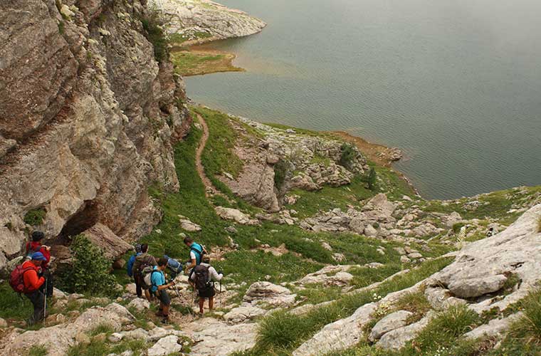
This is not to say that it will be easy either, as they are more than 100 km of distance with 8,000 m of cumulative altitude gainThe changeable weather conditions, rocky trails, also represent some complications.
When to take the Camille Trail
This route can only be done between June and September.
What equipment to bring:
First of all, you will need good hiking boots to cushion and protect your steps against the constant descents and ascents; waterproofs are also recommended, mountain clothingsunglasses and sunscreen, gloves and hiking poles. In case you are looking to reach the higher peaks, basic mountaineering tools are also important. In the refuges there are blankets so you can omit having to carry the sleeping bag and carry only a single bed sheet.
What brands are there
It is important that you carry a map and know how to use a compass, or carry a GPSNot only because there can be unmarked areas, but also because you can face foggy conditions that can easily disorientate you. It converges with some other routes such as the GR-11 or the HRP, and green signs can also be seen in the area of the Western Valleys Natural Park and yellow in the case of the French National Park.
Security remarks
If you are not a member of a federation, the company that manages the refuges also offers insurance at a cost of €17 per person.
It is also made clear that dogs are not allowed, even if they are on a leash.
One of the biggest intrigues is with regard to the bearsIn reality, however, they are afraid of humans and stay in hidden places away from the road, so they are unlikely to be spotted. If this is the case, simply move away slowly, without obstructing their route or - of course - trying to get close to the young or making a big fuss.

Stages of the Camille Trail
Below is a description of a 6-stage route starting from the Refugio de Aysa (Puerto de Somport).
Aysa - Arlet
After crossing the beautiful valleys of Aspe and Espelunguera, we enter the French National Park of the Pyrenees; an uphill stage through dense forests until we reach Arlet, where we have impressive views of the Midi d'Ossau, and from the refuge even to the border. There are also attractive peaks such as the Pic d'Arlet (2208 m).
Arlet - Lauzart
This route of almost 20 km is one of the quietest, and also has the highest proportion of descents. It runs for the most part between two Pyrenean slopes that historically have been of great geographical importance as an escape route during the war. It is dominated by green meadows that evoke the bucolic life of the Pyrenees.
Lauzart - Linza
What starts out as a paved road gradually turns into increasingly rugged terrain. The almost 1300 m ascent from Lauzar to the Colláu de Petrachema is the steepest climb, even more so if you reach the summit; although there are also other imposing mountains such as Les Billaires or the Three Kings Table. About 7 hours for 16.6 km.
Linza - Gabardito
For many, this is the highlight of this stage, not only because of the 10-hour drive of almost 23 km, but also because of the breathtaking beauty of the Valles Occidentales Natural Park. You'll ride through isolated mountain foothills with abundant wildlife, as well as dense and spectacular forests. It also has two important climbs: Anchar d'Alano (with a nearby refuge to divide the stage) and Colláu de Lenito Baxo.
Gabardito - Lizara
If you are already tired at this point, you can make this a short stage of about 3.5 hours and 9.5 km, although if you have enough energy it is highly recommended to opt for the optional ascent to the Bisaurín (2667 m), one of the most spectacular peaks in this Pyrenean area.
Lizara - Aysa
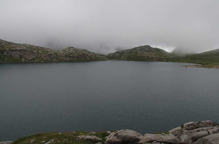
And to close we have this magnificent stage that crosses the Sierra de Aísa; it also crosses the majestic Valley of the Sarrios and the Estanés lakeThe hike takes just over 6 hours and 17.4 km, as well as some of the most beautiful lakes along the way; beautiful walks winding through mountain ranges and lush forests such as the Beechwoods. Taking just over 6 hours and 17.4 km, it's a great way to round off this must-do hiking adventure in the Pyrenees.
READ ALSO:
Fastpacking is not about going faster. It's about going lighter.
If you come from classic trekking, this is the next step: learning to move with less weight,
more fluid and enjoying every kilometre more.
Join the Outsiders Newsletter and start discovering what lightness feels like.