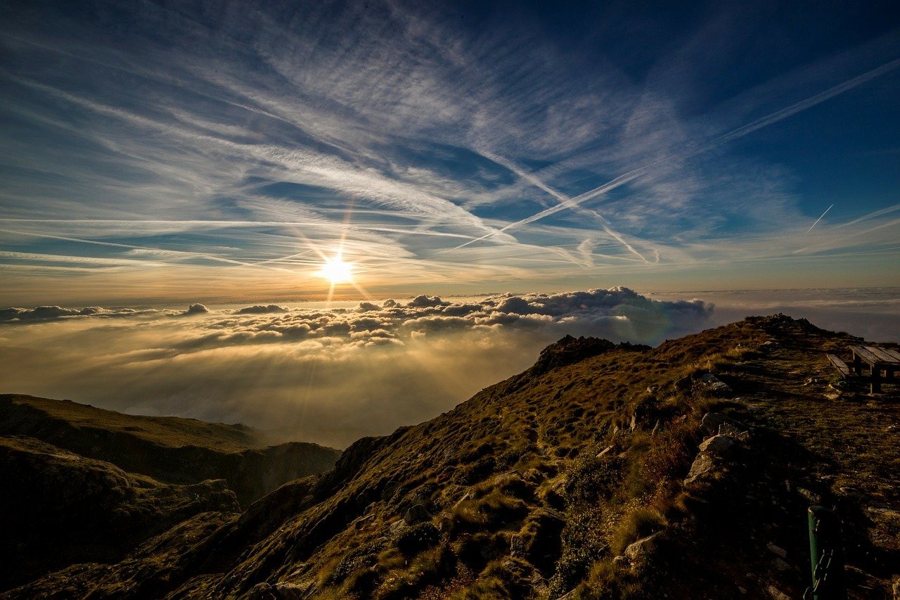
Mountain climate

Pyrenees and mountains 📩
Here 🔥In Spain there are mountains in practically all the autonomous communities, to which must be added a growing wave of users of the mountain environment. More and more people have the mountains and the natural environment among their main leisure resources, and for this reason, knowing how the mountain climate works is key.
In this article we are going to give you a complete guide to everything you need to know about mountain weather. This will help you to plan your outings, and to enjoy them in a much safer and less risky environment.
You will also be able to enjoy better moments when you are on top of a mountain.
Up to 56% of the municipalities in our country have a mountain. The 280000 km2 of mountain ranges and mountainous areas do not seem to be enough, and more and more people are enjoying nature in the mountains.
This new fashion has led to a significant increase in the demand for specific weather information. Whenever you go out for sport in the natural environment, or simply for a walk, you need to be aware of the weather conditions you are going to encounter.
It is also important to know how each of the meteorological phenomena, which in the mountains evolve very quickly and often violently, develop.
Having a basic knowledge of weather forecasting is therefore a factor of safety, comfort and success. In this way, you will be able to anticipate phenomena and enable the rapid dissemination of the weather outlook.
In this sense, the AEMET prepares specific weather forecast bulletins for the highest and/or most extensive mountain ranges or massifs: the Pyrenees, the Central System (Gredos and Guadarrama-Somosierra), the Iberian System in its Riojan and Aragonese part, the Betic System (Sierra Nevada) and the Cantabrian mountain range (Picos de Europa).
Characteristics of the mountain climate
We are all familiar with most of the adverse weather phenomena that can occur. However, many people are unaware that these weather conditions mean different things when they occur at the top of a mountain.
So, what you need to know is how these atmospheric disturbances can affect you when you are in the mountains.
In the higher areas of a mountain, the wind is usually much stronger, and changes more constantly in both intensity and direction.
If this phenomenon is combined with other phenomena such as rain, snow or cold, it can create a very dangerous situation in a matter of minutes.
In addition, high winds during or after snowfall are at the origin of snow accumulations, such as wind slabs, cornices and snowdrifts, and increase the risk of avalanches.
Rain
In the form of downpours, rain can cause sudden increases in the flow of streams and torrents and groundwater courses. Persistent rain can also be at the origin of landslides and rock falls.
In addition, when it rains, temperatures usually drop, and surfaces become much more dangerous because they are slippery, not to mention the risk of falling stones.
Snow
When there is snow, the problem is usually displacement, but when it is snowing, there is the added problem of loss of visibility. The accumulation can also lead to avalanches.
Fog
Fog is always associated with a strong reduction in visibility, so that it can be impossible to find one's way around. Fog attenuates diurnal variations in temperature, particularly in mid-mountain areas: during the day, when it hides the sun, it prevents the atmosphere from warming; at night, it moderates the cooling.
The storm and the lightning
In the mountains, storms are relatively frequent. They are also more unexpected, more violent and more dangerous than in the plains.
The storm is usually heralded by wind gusts coupled with very strong updrafts.
It is accompanied by heavy showers, snow or hail, as well as a drop in temperature. The turbulence created by cumulonimbus clouds, the thunderstorm cloud, can be felt up to distances of more than 20 km from the thunderstorm.
Lightning is the greatest danger: it is very difficult, in the event of an impact, to reduce the risk and the chance of survival when struck is minimal.
Altitude
At 3000 m the atmospheric pressure has decreased by one third and at 5800 m it is only half its value at sea level. The number of oxygen molecules has decreased in the same proportion: you are in a state of hypoxia.
The most benign manifestation of mountain sickness may be limited to headaches, decreased appetite, vomiting or insomnia, which appear after 6 to 8 hours of being above 3 000m.
How to obtain weather information and plan an outing
When we have a trip to the mountains on the calendar, it is necessary to plan ahead, to have as much foresight as possible. If you don't know how to get weather information to know what you are going to face, read on.
In this regard, the AEMET website has specific daily forecast bulletins which refer to certain parameters of special interest in mountain meteorology. These bulletins are issued every day at 15:00 peninsular time.
In these bulletins you have all the information you need about the state of the sky and the prediction of cloudiness, precipitation, wind and temperatures, both maximum and minimum. Also the predicted height of the isotherm in the atmosphere and the predicted height of the -10 ºC isotherm in the atmosphere.
Fastpacking is not about going faster. It's about going lighter.
If you come from classic trekking, this is the next step: learning to move with less weight,
more fluid and enjoying every kilometre more.
Join the Outsiders Newsletter and start discovering what lightness feels like.
