Practical weather guide for mountain enthusiasts
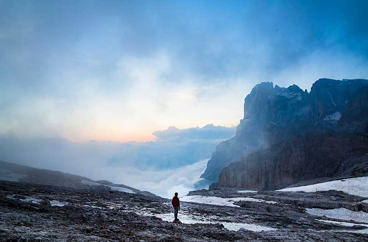
Pyrenees and mountains 📩
Here 🔥Being able to better understand the signs in the sky and the environment to predict weather conditions can save you from a good soaking or more serious incidents such as lightning; here's a summary of some of them practical guide to the climateespecially focused on the hiking and mountain sports enthusiasts.
Research on local conditions
If you are going to climb a mountain, it is best to start by researching the climatic background of the location in advance.
Historical register
For example, you may find it useful to know what kind of storms or challenges you are likely to face in a certain season, which will also be useful to know what kind of storms or challenges you are likely to face. clothing and necessary equipment for dispatch.
Weather report
Even if you are travelling to a particular area in summer, remember that nowadays the seasons can have variations or unusual periods, and you may be surprised by heavy storms or dense fog conditions.
At the moment
You'll also want to check conditions on the day of your trip; you can call local destinations or check with locals, but if you can pick out the signs in the air yourself, it's even better to know the weather outlook in detail.
Basic mountain considerations
To climb the mountain, it is of great value to get up early, as generally during the first part of the day the air gets warmer and consequently rises, while in the afternoon it begins to descend, increasing the chances of rain and strong winds.
For this reason, it is recommended to try to reach the summit as early as possible.This also depends on the distance and the level of challenge.
Also consider that the higher the altitude, the lower the temperature; and if this is combined with humid conditions, this can lead to rainfall at higher altitudes, even if not a drop of rain falls on the foothills.
Learning to predict the weather
In order to know if a storm is approaching, it is important to take into account different factors, of course our observation and attention will be essential to take into account details such as the shape of the clouds and their height; but it will also be helpful to have meteorological instruments as a thermometer to monitor temperature changes, a hygrometer to monitor humidity conditions, a anemometer to evaluate variations in wind direction and intensity, as well as a barometer to know the atmospheric pressure.
Some of these factors can be identified through experience, although if we are just starting out, these devices will allow us to ensure our forecasts are more accurate, and there is now portable equipment that allows us to measure all these indicators with a single device.
Unless you are a meteorology enthusiast, you will not normally leave your home with the backpack The weather is full of all these kinds of devices, but you will be able to identify many of the meteorological processes if you observe the environment around you and inform yourself about them.
Warm fronts
A warm front will not usually be accompanied by violent weather, but adverse conditions can last for quite a while, so it is useful to identify them.
In this case, a mass of warm air rises above the cold air, driving it up to its dew point, which can cause rainfall.
If the atmospheric pressure begins to fall, while humidity begins to rise, are indications of a warm front; and if this is also combined with low clouds, showers could develop, even if the wind remains relatively calm.
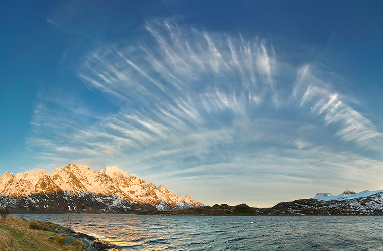
Clouds type cirrusThe thin, thin-looking bands, with marked overhangs, may precede the arrival of a warm front by up to 48 hours.

On the other hand, the cirrocumulusThese clouds, which look like thin white grains or small waves, are mostly ice crystals, which also means a lower probability of rain.
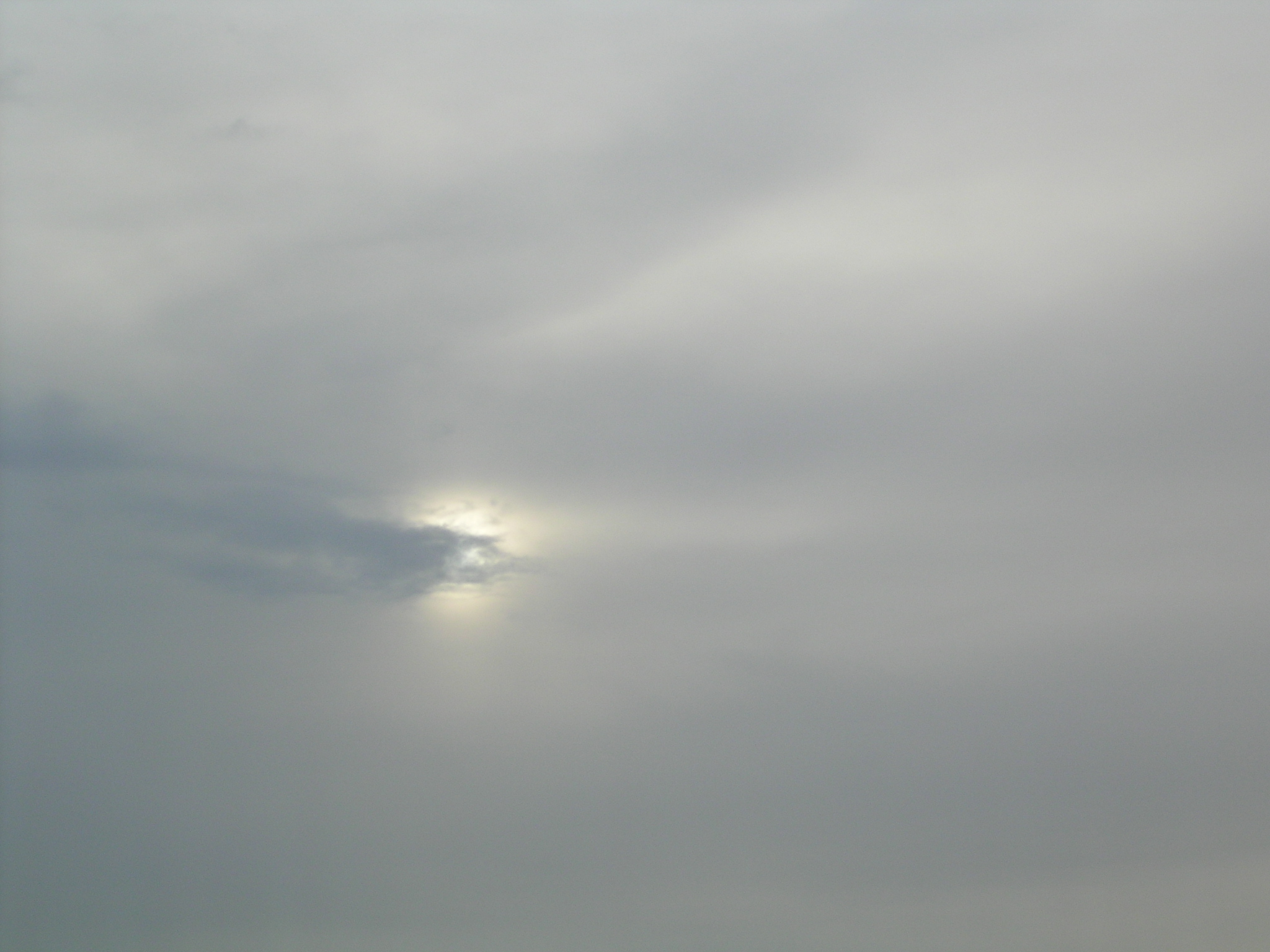
On the other hand, if there are indications of clouds altostratuswhich is a kind of dense sheet at a medium height, or of nimbostratuswhich are also grey - albeit at a lower altitude - are signs that rain is approaching, as they are usually rain carriers.
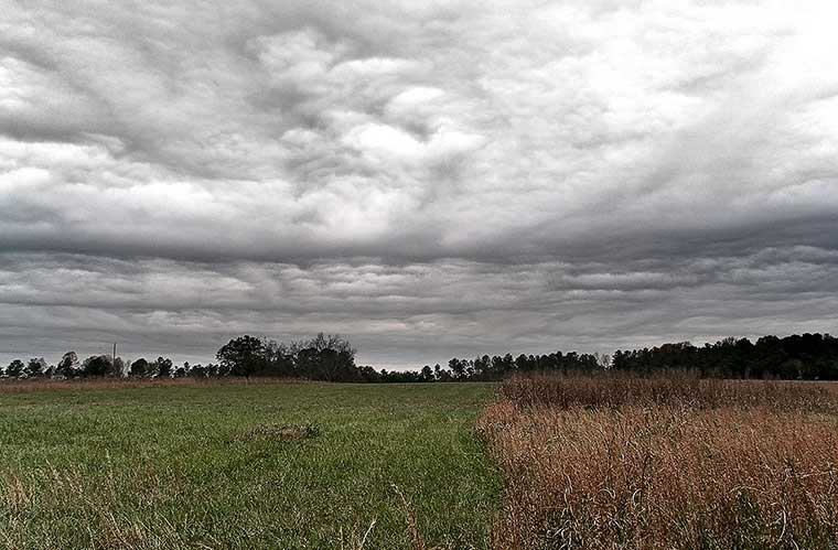
Cold front
In this case we have cold air masses pushing warmer air with greater intensity, which can cool and consequently produce a greater probability of heavy rainfall.
One of the key signs is the increase in atmospheric pressureSo, if you are not coming down the mountain, and the pressure is rising, and the clouds are looking high, it may be a sign that a cold front is approaching.
In this case, storms or heavy snowfalls may occur, although usually of short duration.
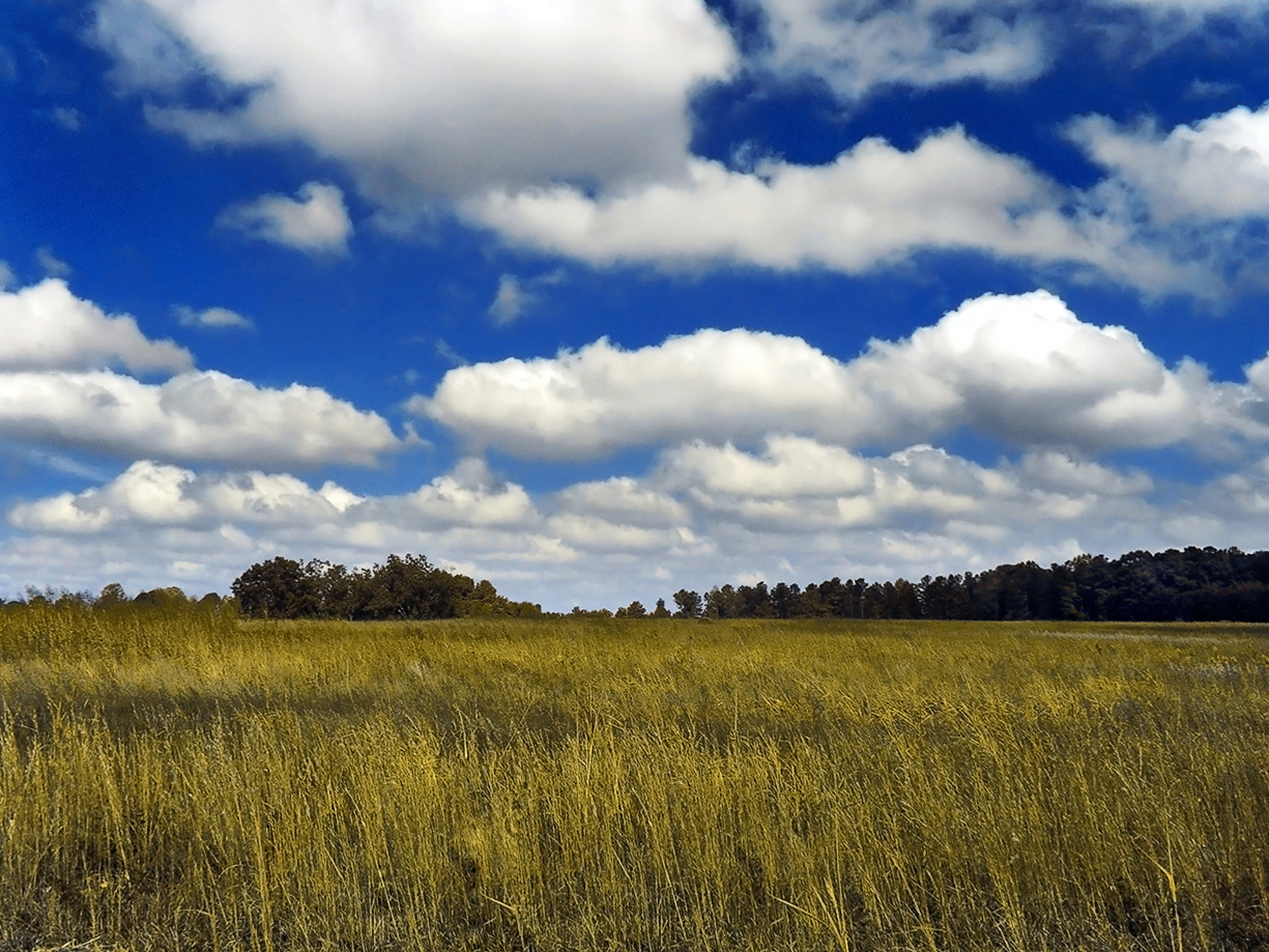
If this is combined with clouds cumulusIt is unlikely that it will rain in a few minutes, although we cannot rule out the possibility that they will start to gather together and fall as rain later in the day.
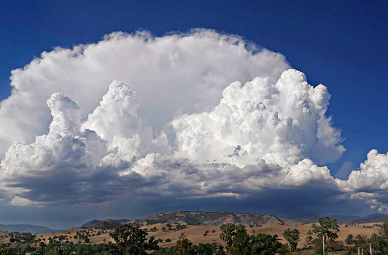
On the other hand, we must also be aware of the clouds cumulonimbusAlthough they can form independently of a cold front, their presence usually indicates a high possibility of severe weather; they form vertically in an imposing, sometimes anvil-shaped form, and usually form early in the day to erupt later in the day through heavy rainfall.
Occluded front
A more dangerous variant is this type of forehead, which can be identified by a increase in atmospheric pressure combined with changes in wind direction.
Here it is a kind of battle between cold and warm currents, which can cause from light showers to intense thunderstorms, depending on the intensity of the wind, humidity and clouds.
Watch out for thunderstorms
Finally, remember also that the rays are one of the biggest threats in the weather, so it is important to count the seconds it takes to hear them. If the time is getting shorter, it means that the lightning is getting closer, and keep in mind that every second is approximately 340 metres away.
In the presence of thunderstorms you should stay away from tall, solitary trees, as well as cliffs, shallow caves and high ground.
If you are travelling in a group, it is best to stay at least 8 metres apart, and to keep metal and graphite objects away from each other.
It is best to look for a low area with several trees or bushes of a uniform size; or a low spot in an open area. Just remember to crouch down but stay on your feet, and if you keep your feet close together, or better still, on a mat or something that separates you from the ground, you will also be safer.
Knowing the weather, respecting it and taking the right precautions can make the difference between a good or bad outdoor experience.
Fastpacking is not about going faster. It's about going lighter.
If you come from classic trekking, this is the next step: learning to move with less weight,
more fluid and enjoying every kilometre more.
Join the Outsiders Newsletter and start discovering what lightness feels like.

In the segment : basic considerations : ...... (at the beginning) You recommend to alpinists, mountaineers, trekkers, etc. to leave early, and you are right, but there is a very important reason that you do not mention, and now, with all affection and respect, I will explain it to you. In the morning, the air masses are gradually tempered by solar action and this allows the air to become lighter (lighter) and begin to rise from the valleys to the peaks; for this reason the scavenger birds, such as the condor, wait for this phenomenon to take flight in search of food. After midday, the air masses reverse their circulation, from above towards the valleys. This phenomenon is repeated daily. So... the big efforts have to be made in the morning hours, when we have the great support of the necessary oxygenation. Some of us take advantage of the night to bivouac near the summit and thus enjoy the nocturnal charm of the mountain, and descend the following morning, with the necessary oxygen to face the effort involved in the descent.............S.L.P.S.