The best outdoor mountain and hiking apps for Android and Apple.
Pyrenees and mountains 📩
Here 🔥The mobile phone can be a very valuable tool when we go out in the mountains. and in everything related to it, if we equip it with the best outdoor applications for hiking, GPS, training and a host of other available functionalities that can be found at Google Play y AppStore.
Finding the best apps amongst such a plethora of apps of all kinds can be confusing and even frustrating, and although this is an ever-evolving world, these are our picks for the best mountain apps. We hope you find them useful.
Apps that will turn your Smartphone into a Mountain GPS.
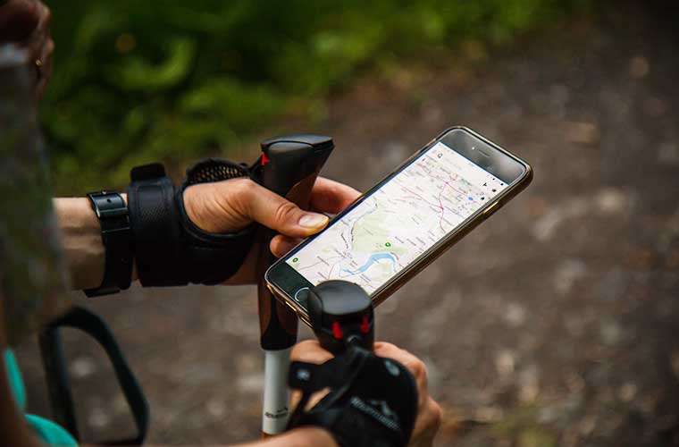
Among the most popular applications are those that allow for turn your smarthphone into a mountain GPS. Nowadays, the vast majority of mobile phones allow for location through the use of GNSS systems (GPS, Glonass, Galileo or Beidou), which makes it possible to know the position with high accuracy without the need to use phone coverage or mobile data. This means you can use your mobile phone free of charge anywhere in the world. Just make sure you download routes, maps and everything else you need before you head out to an area with no phone coverage.
Oruxmaps
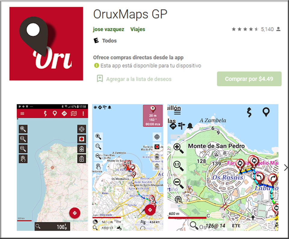
Oruxmaps is one of the best applications of its kind, if not the best. A veteran, since 2009 in the Market. Until a few years ago it was free on Google Play, but apparently it violated the payment agreements and now only the "donate" version is available on GP (€4.19 in 2021, which you won't have to pay again even if you change your phone). On the website of Oruxmaps you can download it for free. In any case, it is an application that is worth much more than what is asked for it and it does not contain advertising.


Before we start with it, we have to say that we love the transparency with which the use of our data is reported, the permissions we give and everything related to privacy, something very difficult to find in this world.
The application is very comprehensive. As a map viewer comes as standard in online mode and for everyone, the maps Google Street Map, Openstreetmap, OpenTopoMap and Topo 4umaps, among others. At the national level, we can find the official mapping of several countries, including Spain. It also allows new maps to be added for use in offline modewhich we can download from different sources or from the map we are visualising.
Allows save and download tracksYou can create waypoints, import and create google maps style routes, view graphs of the route with a multitude of information, add photos, videos, connect to external GPS via bluetooth, heart rate monitors, share the location with a group of people and a host of other possibilities.
Available in Google Play.
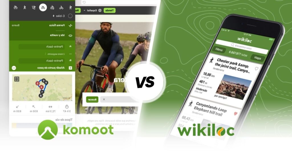
Wikiloc
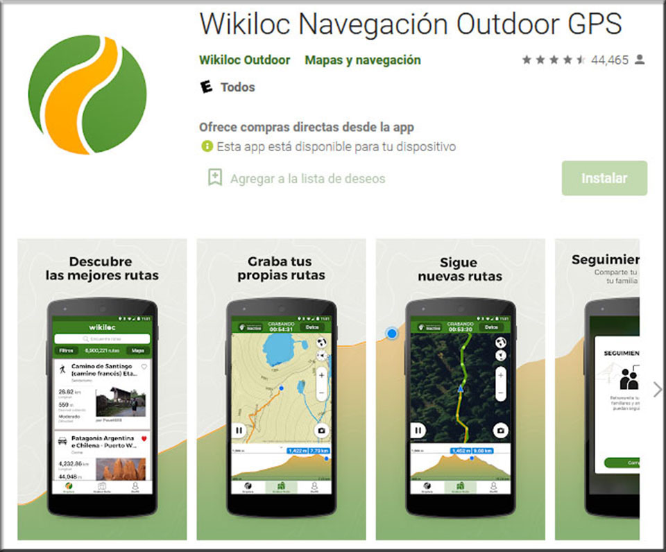
Who doesn't know Wikiloc? More than 7.5 million users and more than 21 million routes uploaded worldwide. This is its strength, it is very difficult not to find the route you are looking for. The routes, uploaded by the user community, have added information such as Waypoints, descriptions and photos. There is a real legion of users who have earned prestige within the application, thanks to uploading routes that you can follow with total confidence and very detailed descriptions.
Wikiloc is a site for discovering and sharing outdoor routes, walking, cycling and many other activities. A inspiration to find new routes and explore around the world.
In the free version you can download maps for offline use, record routes and explore new routes, but it does not allow the option to follow routes. The premium version costs €10/year.
Available in Google Play y App Store.
In the following video that we have prepared for you by the mountaineer and youtuber Pau Calado tells us in detail how we can use the application, which has recently added "Route Planner" and 3D mapping functionality.
Outdooractive
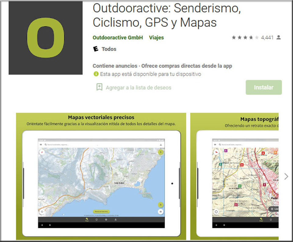
Under the brand Outdooractive, you can find the super popular app "ViewRanger".which has been integrated into it. It has a free version and a paid version. The paid version seems a bit expensive (€29.99/year) compared to the previous applications. It allows you to save maps and routes for offline use and more features. The main drawback is that you can only download maps for offline use in the paid version. The free version allows access to a large base of routes recorded by users, discovering places, recording new routes and publishing them in a very simple way, which is allowing the number of routes to grow exponentially. Only the Open Street Map is available in the free version, to which vector and altimetric information from free data sources has been added, allowing routes to be calculated in the Google Maps "how to get there" style and obtaining profiles, slopes, etc.
Available in Google Play y App Store.
Apps for training and tracking your progress.
Adidas Running by Runtastic

With adidas Running you can record all your sports activities and analyse your stats. Measure distance, time, pace, calories burned, speed, altitude and much more! Track your routes via GPS or add workouts manually: running, walking, cycling... the variety is huge! Plus, motivate yourself to train more with challenges and personal records.
Available in Google Play y App Store.
Strava

It is possibly the most popular application among runners and cyclists. With this application you can record your activities, visualise them on a map and obtain great information about them, such as distance, pace, speed, slope or the amount of calories burned. So far, nothing special that other apps of this type don't have.
What has really made this application popular is the "competitive" part, the so-called segments. Each route you take is divided into segments against which you can measure yourself against other people in your group and the entire user community.
Available in Google Play y AppStore.
Applications to share your activities.
While many of the applications seen above have communities of users with whom you can share your activities, the following application adds a jaw-dropping feature for your followers.
Relive: Run, Cycle and more
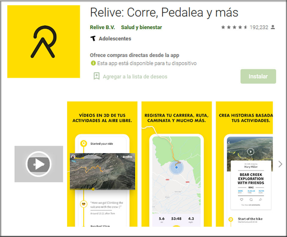
With this application you can log your activities and get key statistics, your location in real time or take pictures of the places you pass by. What really sets this app apart from the rest, is the function for turn your activities into 3D Video Stories. You may be familiar with the Tour de France stage presentation videos, they are very similar. Use the videos to document your routes or for posturing, share them with the free version on social networks and make your friends jealous.
Available in Google Play y AppStore.
Weather forecast applications.
AEMET
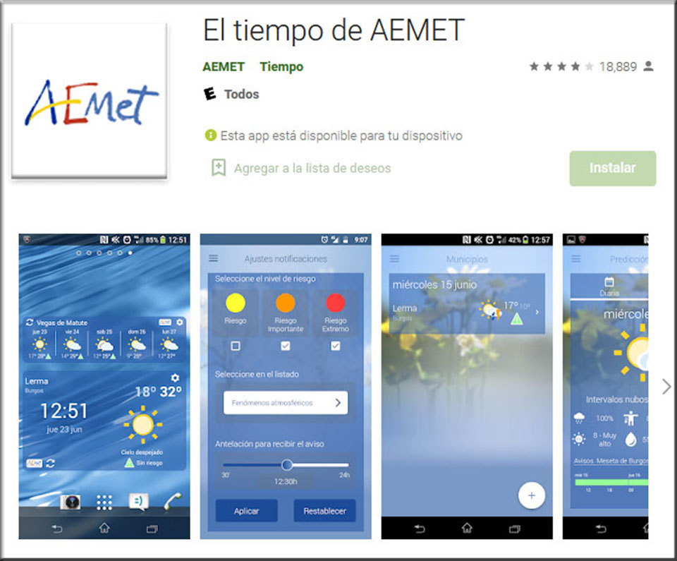
The official application of the State Meteorological Agency (Agencia Estatal de Meteorología) provides very accurate forecasts by location. Daily 7-day and hourly forecasts for the next 36 hours. Along with the pictogram of the weather forecast for each hour, it includes the amount of precipitation forecast, the wind speed and maximum gusts, the temperature, the wind chill and whether there are warnings activated. Unfortunately, the application does not include the mountain forecast, which does appear on the website, nor the avalanche bulletin, which can also be downloaded in pdf format from the AEMET website.
Available in Google Play y AppStore.
Meteoblue
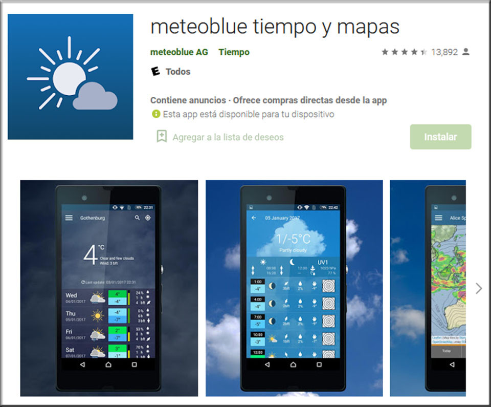
Reliable, highly accurate forecasts anywhere in the worldby municipalities, coordinates or by GPS location. 7-day forecast and 14-day trend. Hourly forecast of temperatures, rainfall, etc. Dynamic, cloud and radar maps. The application is easy to use and with an intuitive design. The free version contains advertisements.
Available in Google Play y AppStore.
Mountain Forecast
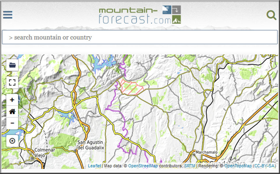
Although it is not an application, Mountain-Forecast offers weather forecast from a comprehensive database of mountains around the world. In addition to the pictographic information, the expected amount of precipitation or temperatures, you can consult the forecast at different altitudes.
Apps to help you in an emergency.
There are several 112-type applications that allow you to make calls and share your GPS location with the 112 Emergency Services in each community, as well as send photographs and other utilities.
The ones we find most interesting are: the official application of the Basque Government (SOS Deiak) and that it only works for this territory; My112The application, developed by Telefónica, is officially recommended by several communities in their emergency services (Madrid, Castilla y León, Balearic Islands, Catalonia, Cantabria, Melilla, Navarre, La Rioja and Castilla-La Mancha) and is used by the emergency services in the following regions: Madrid, Castilla y León, Balearic Islands, Catalonia, Cantabria, Melilla, Navarre, La Rioja and Castilla-La Mancha. DurcalWe find it interesting because it is the one linked from the 112 de Aragón website, but according to the opinions of users, the different updates it has undergone, first Alpify, then Safe365 and now Durcal, have ended up spoiling it. We will see if these problems are solved.
My112
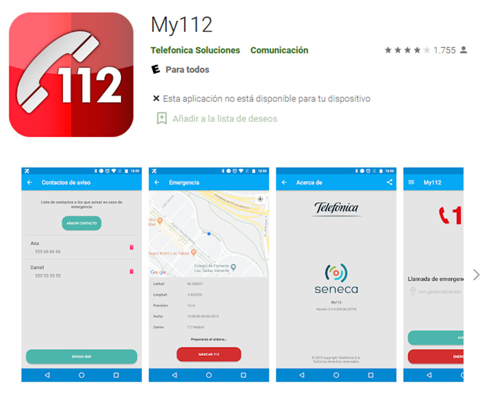
This free application allows you to communicate with the 112 Emergency Centre, sending your current position to the operator who is attending you, helping in your location. In addition, My112 receives real-time emergency alerts as they occur. It is free and ad-free.
The 112 centres integrated in the application so far are: Madrid, Castilla y León, Balearic Islands, Catalonia, Cantabria, Melilla, Navarra, La Rioja and Castilla-La Mancha.
Available in Google Play y AppStore.
Previously there was a great app Alpify, then Safe365 and now Durcal which now seems to be having some performance problems. We will see if they can be fixed as soon as possible. It is designed for elderly care, but is equally valid for use in the mountains.
Another alternative if you want to share your location with the 112 emergency service is, after making the relevant call, to use applications like Oruxmaps, Maps of Spain (IGN), WhatsApp or Google Mapsamong others. These types of applications have among their options the possibility of sharing your location with your contacts, but you will have to have coverage to transmit the position and configure the application beforehand, to avoid surprises when you need it most.
Torch application.
Nowadays it is rare that a mobile phone does not come with a torch option as standard. If this is your case, or if you are looking for more functionality, you can download one of the many existing applications.
Lantern (free and without pop-up ads)
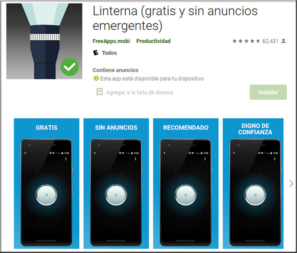
We like this application because it includes what they call gesture support.The app can be turned on and off by simply shaking your phone a couple of times. You don't need to unlock it, open the app and have to take off your gloves if it's cold...
Available in Google Play.
Photographic applications.
Although most current mobile phones have long since incorporated panoramic functions in the camera, you may find an application specially designed for this function useful.
DMD Panorama
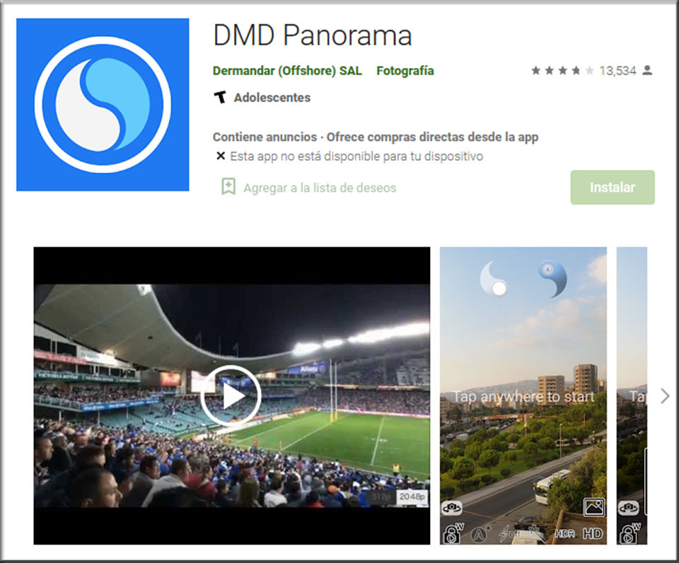
This application is very practical, as it allows you to make 360º panoramas in a simple way by controlling the exposure of the light.
Available in Google Play y AppStore.
Apps to discover the environment around you.
If you are one of those who go around trying to identify every mountain you see on the horizon, these two applications that we now present to you will come in handy.
Peak Finder
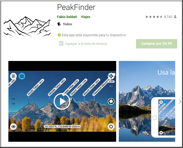
Discover the names and locations of the mountains around you while walking or doing any other outdoor activity. By pointing your camera at the landscape around you, the app is able to identify and tag the major peaks around you in real time on the screen, all without the need for an internet connection. It has a database of 800,000 mountains.
Available in Google Play y AppStore.
Google Lens
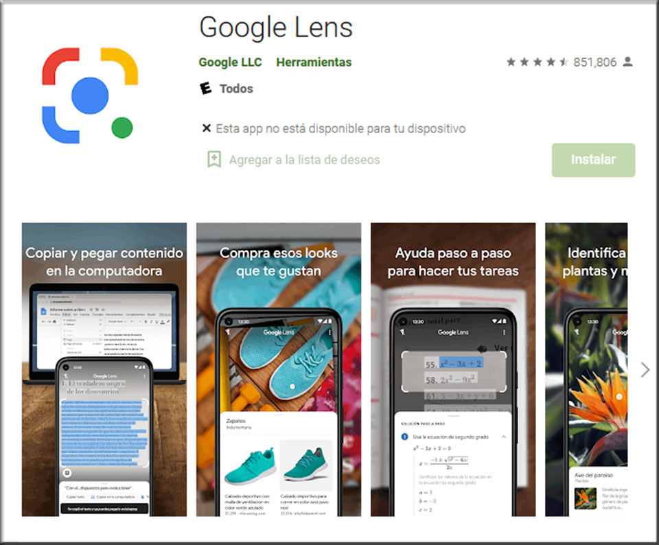
This super popular app allows you to understand the world around you using just your mobile camera or a photo. With Goole Lens you can scan and translate text, identify plants and animals (it really works), explore the places around you, scan QR codes, etc. We find the function to identify plants and animals particularly useful for use in nature, when we want to know the species around us.
Available in Google Play y AppStore.
Applications to search for climbing areas.
Another set of applications that can be very useful if you are a climberare those that offer sketches of climbing schools. Although there are applications worldwide, for the moment, the local applications are the ones that offer the best information about the climbing areas close to home.
Climb Around
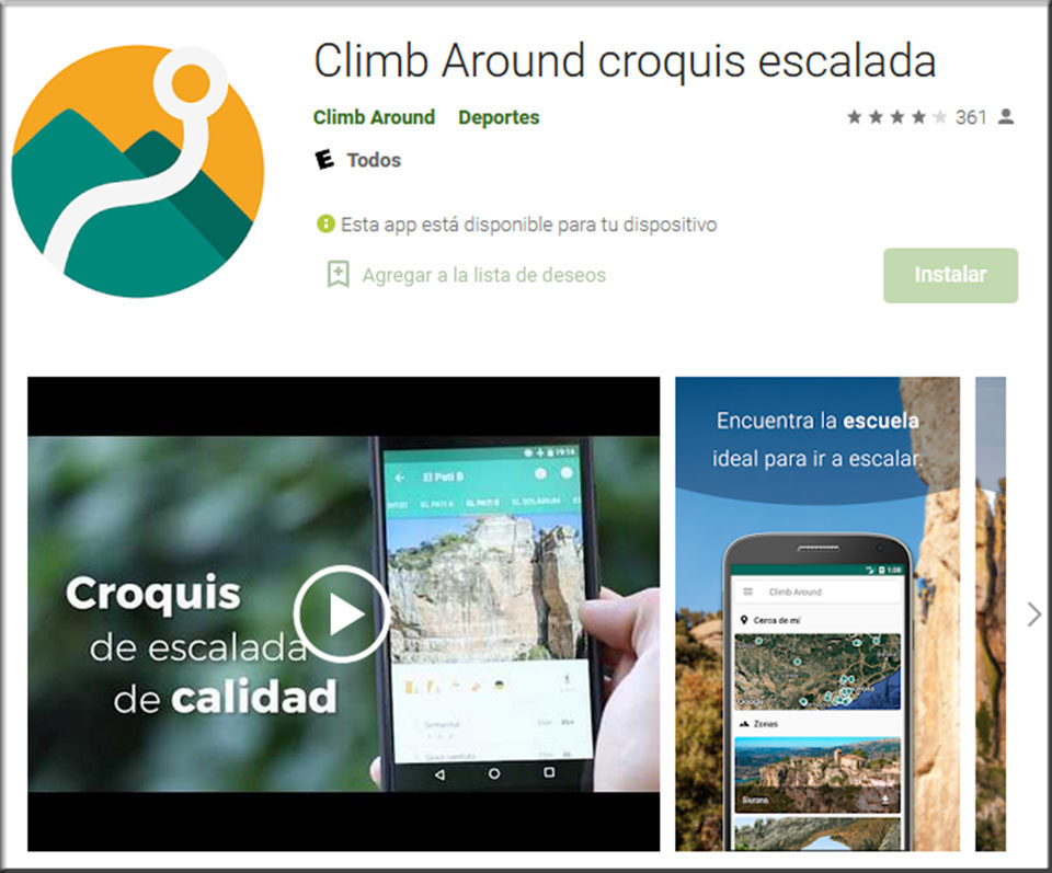
This completely free application offers up-to-date and totally reliable information, obtained from the collaboration with equippers and reviewers of each area, as can be read in the app's description. According to the app itself, by being a user, you will be helping the retrofitting of the sectors that appear and you will collaborate in the preservation of the environment and to keep the mountains clean, as they promote campaigns for cleanliness and respect for nature. At the moment, the app's schools are concentrated in Catalonia and nearby areas.
Available in Google Play y AppStore.
MADClimb Climbing Sketches Madrid
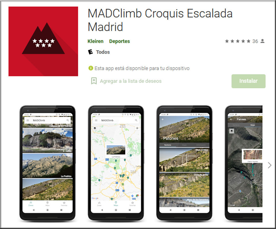
MADClimb is an app for climbing sketches in and around Madrid. Perfect for finding new routes and rediscovering old sectors. The app shows the sectors and routes of multiple climbing areas, with updated sketches and a simple search engine. The database is constantly updated, adding new areas and reporting problems and changes to those included.
Available in Google Play.
Applications to find a place to spend the night.
Park4night - camper van
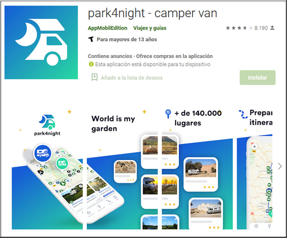
This application designed for motorhomes and vans shows you the best places to spend the night and rest in your motorhome or van. It has super up-to-date and complete information, thanks to the fact that it is the users' own community that creates the places, updates the existing ones and adds value with their comments and ratings.
Available in Google Play y AppStore.
READ ALSO:
- "Live Location": share location in real time on Whatsapp >>
- Strava: the innovative social network for trail running enthusiasts >>
Fastpacking is not about going faster. It's about going lighter.
If you come from classic trekking, this is the next step: learning to move with less weight,
more fluid and enjoying every kilometre more.
Join the Outsiders Newsletter and start discovering what lightness feels like.