The reunion
We continue with the publication of the micro-stories of the first edition of the competition: Relatos de Altura,...
We continue with the publication of the micro-stories of the first edition of the competition: Relatos de Altura,...


We continue with the publication of the micro-stories of the first edition of the competition: Relatos de Altura,...
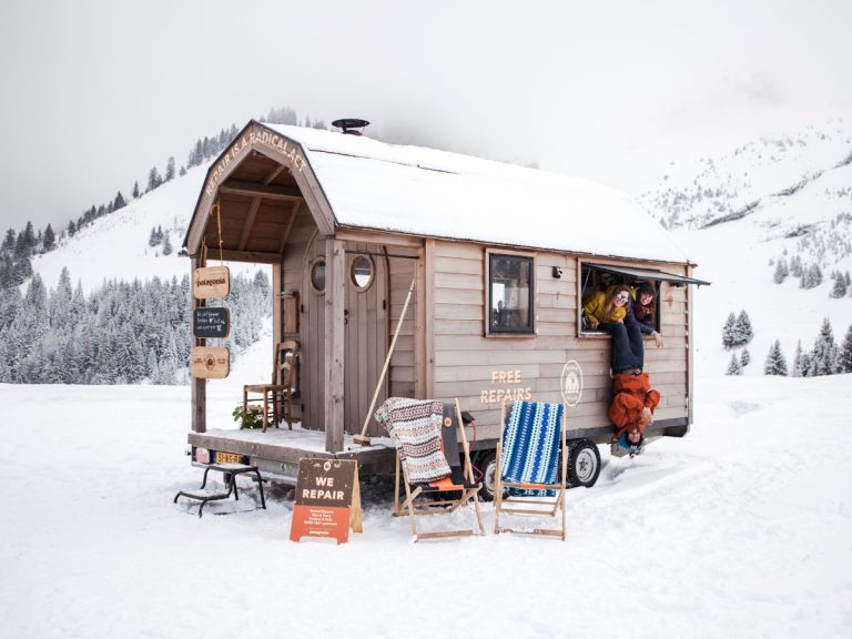
Patagonia's Worn Wear programme was created in 2013 to promote the care of...
We continue with the publication of the micro-stories of the first edition of the competition: Relatos de Altura,...
We continue with the publication of the micro-stories of the first edition of the competition: Relatos de Altura,...
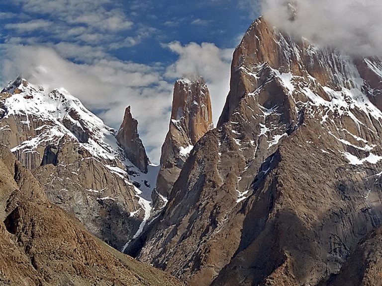
Poland's Janusz Gołąb, Maciej Kimel and Michał Król withdraw from their bid for the...
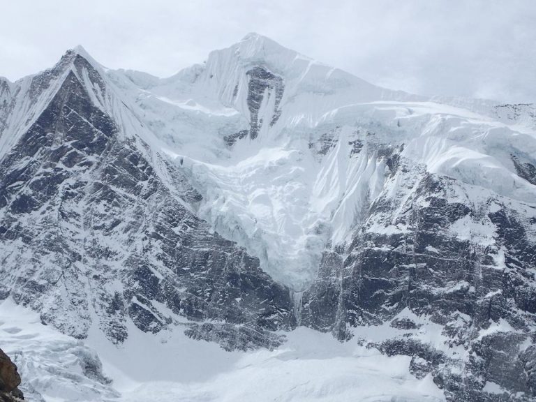
Jonatan García and Esteban 'Topo' Mena have decided to withdraw from the Gangapurna due to the poor conditions in...

We continue with the publication of the micro-stories of the first edition of the competition: Relatos de Altura,...
We continue with the publication of the micro-stories of the first edition of the competition: Relatos de Altura,...
Alex Txikon's winter ascent of Manaslu in Nepal will be the germ of a...
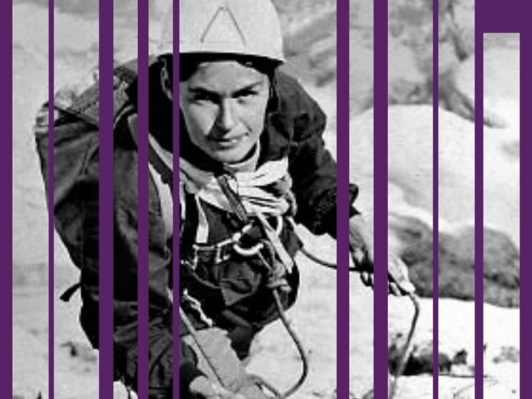
Considered the greatest mountaineer of all time. Poland's Wanda Rutkiewicz, in addition to all...
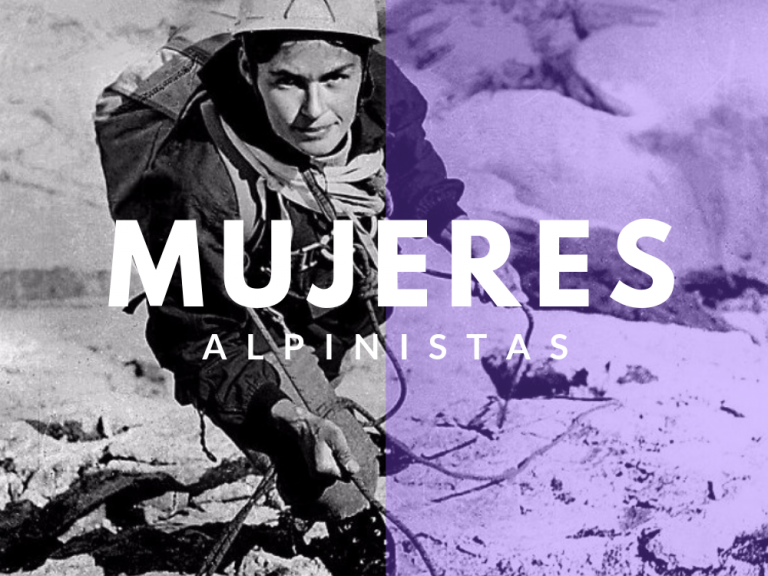
Mountaineering is one of the star sports and that is why its popularity has always been on the crest of the wave. If we talk about its history, women have often played an unknown role, in the shadows. That is why with this article we want to highlight and make visible what the best women mountaineers have contributed to this discipline.

We continue with the publication of the micro-stories of the first edition of the competition: Relatos de Altura,...
We continue with the publication of the micro-stories of the first edition of the competition: Relatos de Altura,...
We continue with the publication of the micro-stories of the first edition of the competition: Relatos de Altura,...
We continue with the publication of the micro-stories of the first edition of the competition: Relatos de Altura,...

We continue with the publication of the micro-stories of the first edition of the competition: Relatos de Altura,...

We continue with the publication of the micro-stories of the first edition of the competition: Relatos de Altura,...