FinisteRett: a journey to the end of the world.
A sporting and solidarity trip to the end of the world to raise awareness of all people affected by Rett Syndrome.
A sporting and solidarity trip to the end of the world to raise awareness of all people affected by Rett Syndrome.

Hiking in the great outdoors is wonderful, but for many car owners, it's not always easy to...


We have compiled a list of the most incredible treks and great routes around the world.
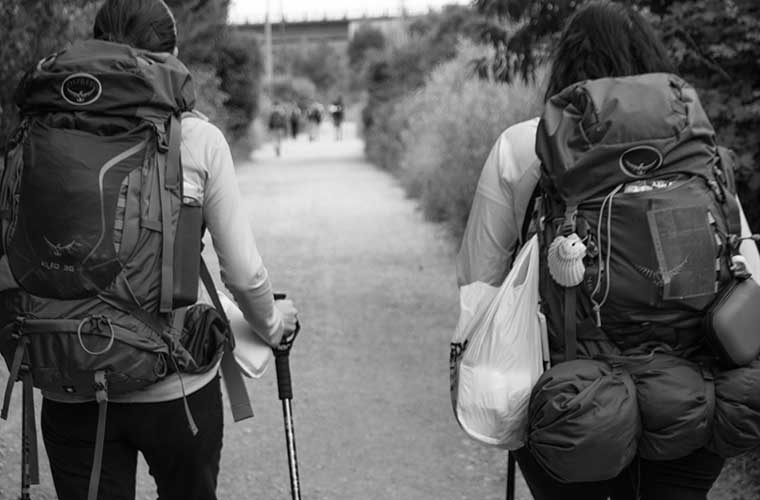
Camino de Santiago, a modern pilgrimage. Guide to routes and stages, with all the advice and recommendations.
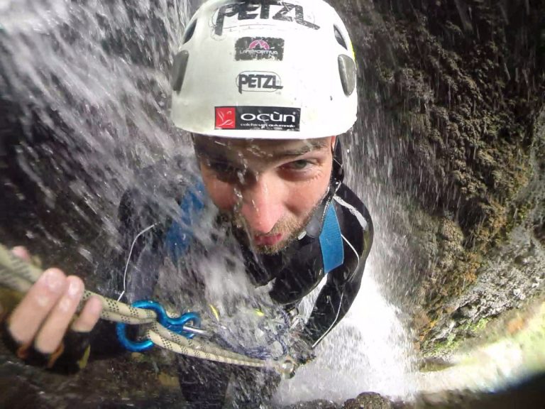
The best canyons in the Sierra de Guara, the Tena Valley and Ordesa, from the most enjoyable canyons to the most technical activities.
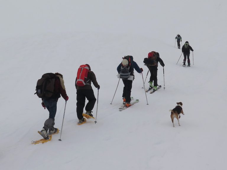
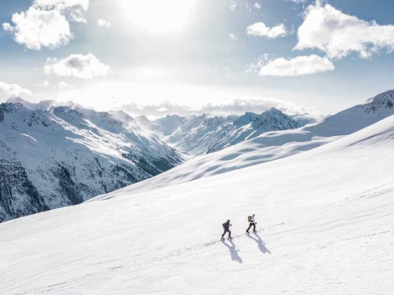
Thanks to snowshoes, progression in soft and deep snow is fast and comfortable. But you must choose the right snowshoe and know how to use it.
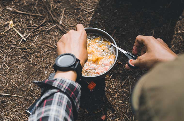
What kind of food should I carry in my backpack, whether it's to keep us in good shape or to carry only what we need, here are some tips for food in the mountains.
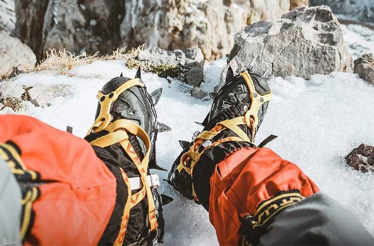
How to choose the right crampons for the type of activity I am going to do.
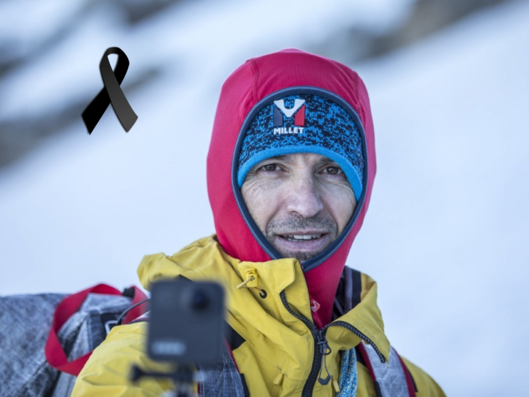
This afternoon we learned the news through the Desnivel Magazine: the fatal accident of...
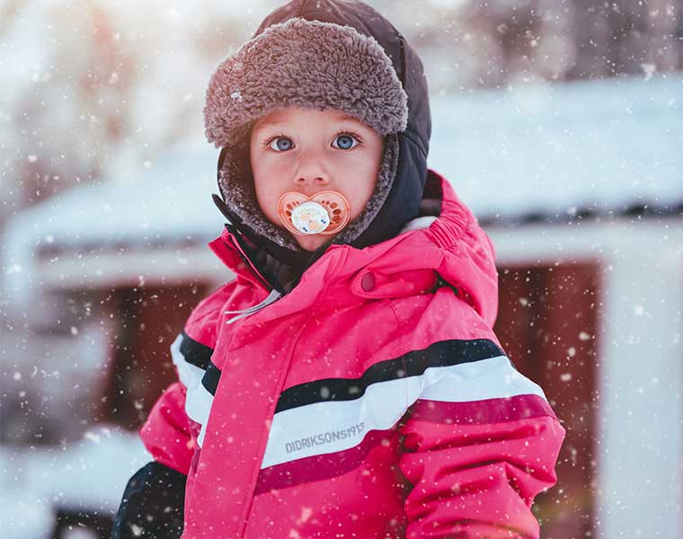
Who doesn't like to go to the snow? Winter is a season full of fun and adventure for children.

Here are some tips on how to clean and maintain your travel companion for many years to come.
![Mountain bivouac covers / Photo: Rolf Steinmann [Public domain] via Wikimedia Commons](https://travesiapirenaica.b-cdn.net/wp-content/uploads/2019/01/Fundas-vivac-para-montaña_by-Rolf-Steinmann-Public-domain-from-Wikimedia-Commons_800x600-768x576.jpg)
Don't you know what these covers are? They are a type of cover for sleeping bags, which are prepared for sleeping outdoors, without the need for a tent.
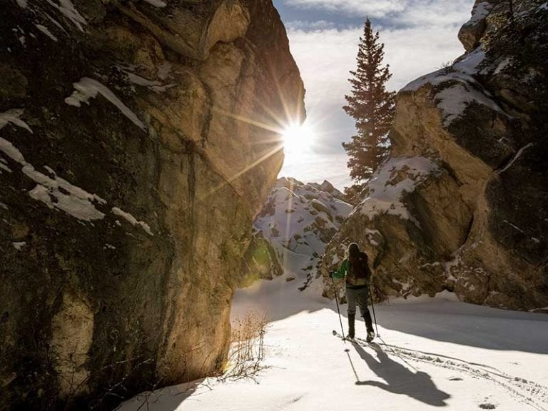
The Alta Ruta Panticosa-Wallon is a classic route with skis in the Pyrenees. 2 days of itinerary to enjoy the wildest mountain.
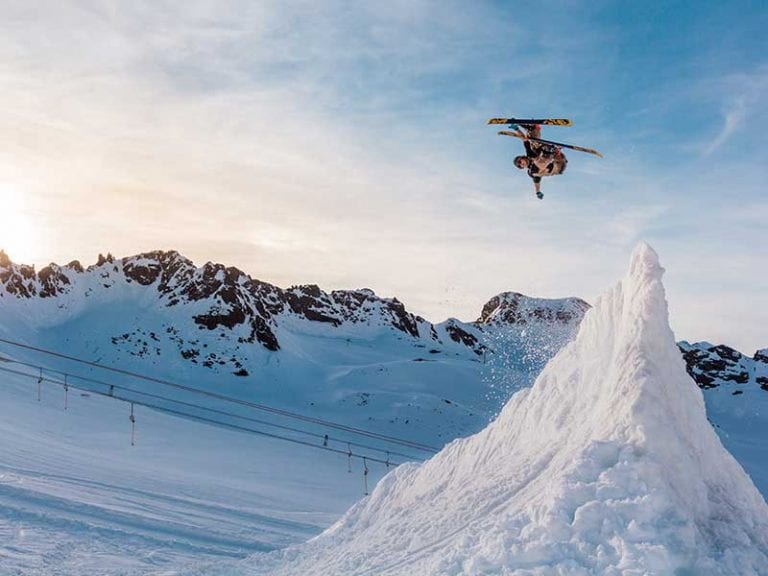
When you go skiing you can never be without a mobile phone or camera to immortalise the beautiful scenery. You can take great pictures with very little.
The restrictions that many countries are placing within their borders, with confinements more or less...
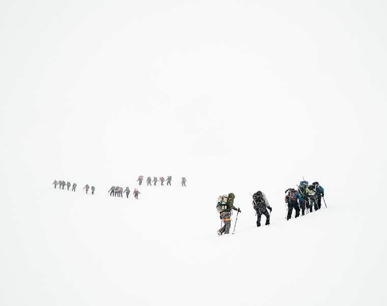
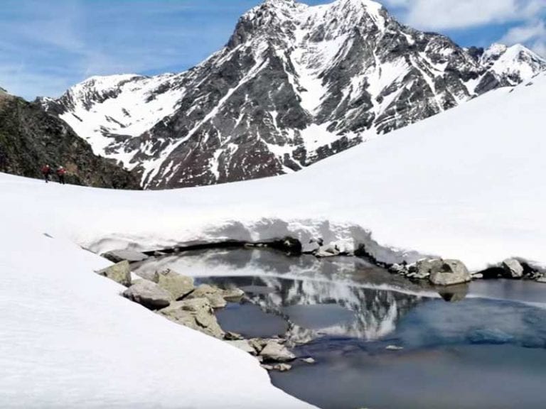
Hiking in snowy areas is a magnificent experience, but it also involves several risks; here we will explain to you from scratch, the basic recommendations you should take into account about how to walk in the snow.
Nowadays, skiing materials and equipment are becoming more and more sophisticated and specialised. This guide will make it much easier for you to choose your new ski touring boards.
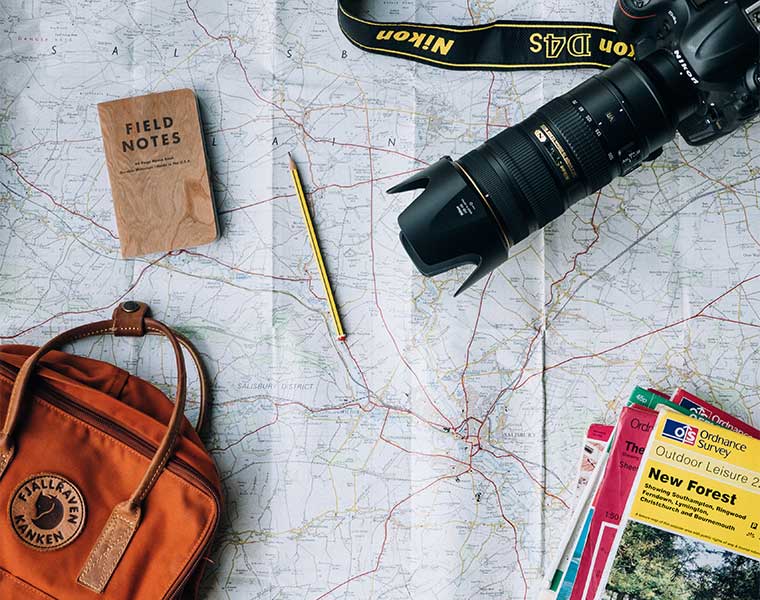
If a friend or relative of yours is a passionate traveller, here are the best gift ideas: what better than gifts that will be of great use to them during their escapades and adventures around the world.
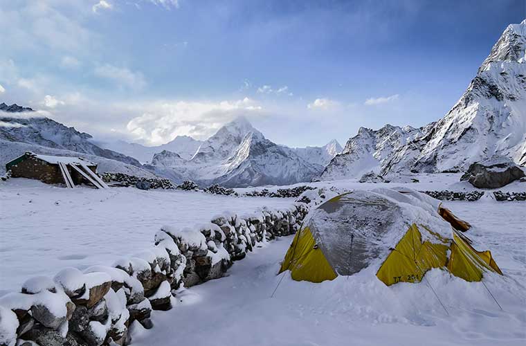
Winter camping tips: where to camp, what to bring and much more you need to know to make it through a cold night.
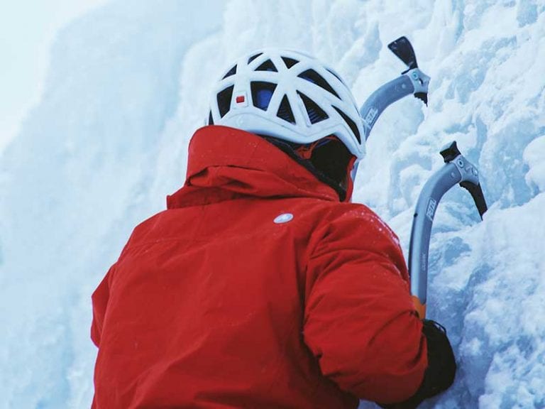
The choice of ice axe depends on the activity you are going to do. Our guide below will help you make the best choice.
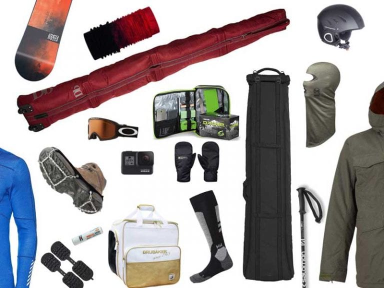
You want to surprise a skier or snowboarder and give them the best gift in the world, but you don't know what you can buy, then keep reading this article because today we bring you an interesting list with gifts and gadgets for snow sports.
The snow and the cold mean that equipment specially designed for skiing is necessary for the practice of this sport.
