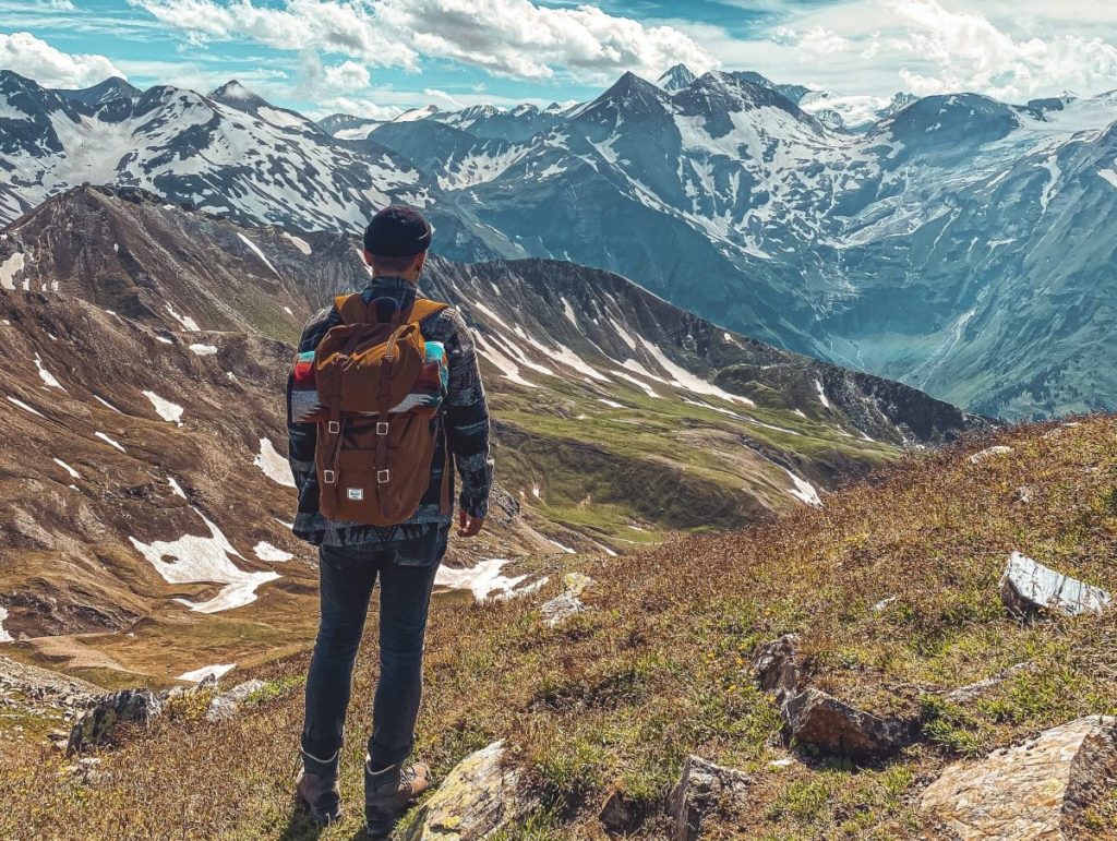
Best hiking and trekking Apps
Pyrenees and mountains 📩
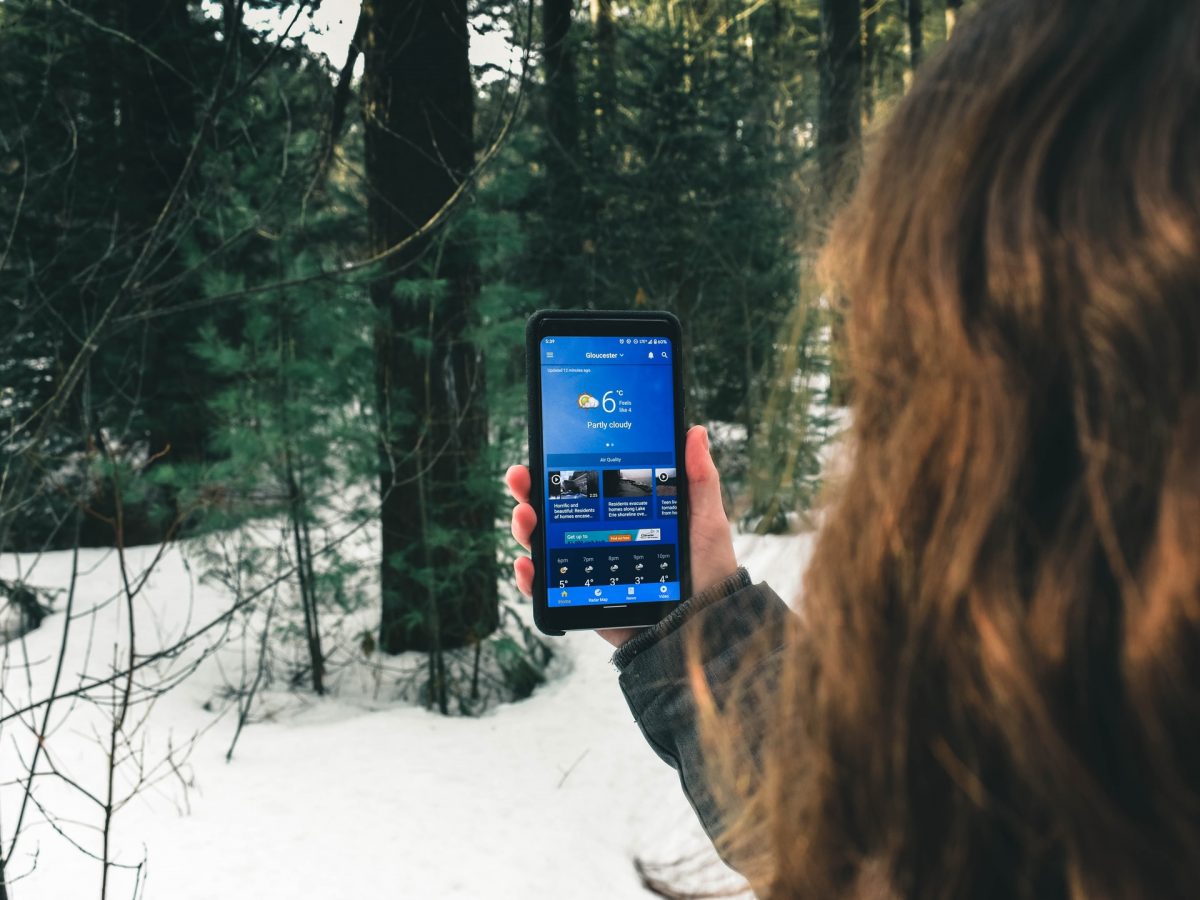
Here 🔥The mobile phone has become an indispensable tool in mountain equipment, and not just for making emergency calls. When it comes to hiking, your smartphone can be a great help if you equip it well. Here are some of the best apps for hiking routes:
Best apps for hiking routes
Here is a list of the best apps that you can use to create your own hiking routes.
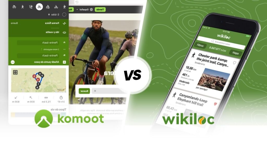
Wikiloc
Wikiloc is currently one of the best alternatives for discovering hiking trails and other activities such as running, MTB, Kayaking, among many others. It has more than 32 million routes from all over the world that its almost 10 million users have published.
Highlights of the app Wikiloc is that you can view topographic maps from all over the world for free and offline, record your routes, add waypoints and many more options. All this in its free paid version.
However, you can try the Premium option, which offers additional features such as live tracking and synchronisation with other devices to allow you to connect with friends and explore nature together.
The app of Wikiloc allows you to find out what route to do through its Explore section, and with the help of its filters it is easy to find the route that best suits your needs, such as distance, elevation gain or difficulty.


In the following video that we have prepared for you by the mountaineer and youtuber Pau Calado tells us in detail how we can use the application, which has recently added "Route Planner" and 3D mapping functionality.
Strava GPS
Strava GPS it is a free hiking application, which is one of the most popular among outdoor sports enthusiasts. Its operation, although similar to Wikiloc, has the difference that it allows you to manage your routes from the web platform.
Through it, you can keep track of your activities, walks and rides and share it with your friends, because it works as a social network for athletes. If you prefer, there is a Premium version that offers you several extra functions.
AllTrails
AllTrails is a free trekking app, ideal for choosing your next destination. It offers you more than 10,000 trails and tourist routes that you can select for your next adventure. In addition, in its free version you can generate your own routes with GPS tracking, save them or share them with other hikers.
You can choose from a variety of hiking maps to follow circular or linear routes with more than 100,000 trekking routes all over the world. If you wish, its premium version offers you the possibility to download routes offline and you can even design and print your own maps.
Komoot
If you are a fan of hiking, nature walking, MTB, cycling or running, then Komoot is the app you must have on your mobile. It is the best option for voice-guided navigation through different routes and according to each discipline, even without a connection.
You can access valuable information such as maps, strategic locations or other athletes' favourite places. You can also share your tips, experiences and highlights to add value to other users' adventures. It's completely free and has cross-device compatibility to help you achieve unforgettable experiences.
Relive
Relive is an app for those who practice hiking, They cycle through the mountains or simply do some outdoor activity, Relive helps you share your experience and meet other users through various stories told in 3D videos.
In addition to all of the above, you can keep track of your activities with GPS tracks and routes, view key statistics and your location in real time, all in the free version. If you want access to more advanced features, you can purchase the Premium version. It's a good choice for you to know your ride stories and tell your own.
Gaia GPS
Gaia GPS is a free hiking application. It has different public and personal hiking routes that you can use for your adventures. Also, it is always being updated, which is ideal for finding out about any variations in routes.
Gaia GPS has a section that helps you discover popular routes, record your routes or create your routes manually from your mobile phone so that its GPS can then guide you along your chosen route. If you want to have offline maps and other additional functions you will have to pay 28.93 euros per year.
Bergfex/routes
Bergfex/routes it is one of the best free hiking apps, cycling, running, among others. It also has a Pro version for a cost of 9.99 euros per year, which will allow you to find the ideal trekking or hiking route for your next adventure among more than 70,000 different alternatives.
The users of this platform are certified or related to tourism, ensuring that each route is an incredible experience. In addition to this, when you choose a route, you will find interesting information from tips and advice provided by the author of the route, as well as strategic locations and even the necessary equipment.
GPX Viewer
GPX Viewer is an application that is actually a GPX, KML, KMZ and LOC route viewer, allowing the editing of track, route and waypoint metadata. This free app stands out for its detailed statistics. The app will indicate your location on the map so you can see if you are still on the route or if you have left it.
If you want to record routes and have the maps offline, as well as its seven-day weather forecast, you will need to purchase the GPX Viewer Pro, 4.99.
BackCountry Navigator
BackCountry Navigator is one of the best options for hiking enthusiasts and you will find a large number of topographic maps of many areas of the world. You will see many countries in the application (Spain, Italy, United States, among others).
So it will be very useful when you go out to see nature in your country or if you are travelling on holiday. You will find many types of maps in the app and a lot of information available. For all these reasons, it is considered one of the best options to take into account.
This application is free to download for Android. However, there is a paid version of it, which also has ads inside.
Oruxmaps
Oruxmaps is a very complete application with a cost of 3.89 euros that has a variety of features. Among them is the creation of offline maps, track creation, route tracking, multitracking and statistics of your activities.
It is compatible with heart rate monitors and Android Wear. One of its main functions is the option to activate the SOS, which allows you to configure a warning message to whomever you decide when you spend a certain amount of time without moving.
OruxMaps can be downloaded completely free of charge from their website: www.oruxmaps.com. A donation version is available in the Google Play Store to support the app's support.
Fatmap
Fatmap is a tool designed exclusively for lovers of mountain sports, such as skiing, mountain biking, freeride and, mainly, hiking. It has many strong points, but the one that has brought it the most popularity is the possibility of visualising the maps in full 3D, which adapt to the different configurations that you carry out.
Maps can be downloaded for offline enjoyment and access to professionally created routes with recommendations on how to climb or appropriate clothing.
The position on the map can also be viewed offline if you do not have a signal in the middle of the route.
Outdooractive
Outdooractiveis the mountain app that has taken over the popular ViewRanger. This planner allows you to discover routes, as well as manually plan your routes or record your routes.
Its free version contains guided navigation, but if you are interested in saving routes and using its topographic maps offline, you will have to subscribe and pay 29.99 euros per year.
IGN - Maps of Spain
Maps of Spain, is the official and completely free application of the National Centre for Geographic Information, offering the maps of the National Geographic Institute.
This application is a viewer that allows you to open and save tracks in GPX, KML and KMZ, with support for IGN's WMS and WMTS map services. It can work offline and includes shortcuts to download the tracks of the routes of the National Parks, the stages of the Camino de Santiago or the Camino del Cid.
Maps.me
Maps.me is an app that offers detailed offline maps of the whole world. Quite useful if you are in a remote area where the signal is not good. It is possible to pre-load different areas on your mobile phone, so your maps will also be available when there is no Wi-Fi.
It is ideal for hikers who love adventure, but don't want the risk of getting completely lost. With Maps.me It is also possible to plan your own routes, but this function is a bit more restricted than for other applications.
Rustastic Altimeter
This special application of hiking has everything you need for a long walk or stroll. With Runtastic Altimeter you will always have a compass, speedometer, pedometer, map, weather forecast, binoculars and torch at your disposal.
It is one of those apps that once installed on your mobile phone you can't imagine going out without it. During your walks you will discover the usefulness of its various functions. It is an application that is indispensable for all activities, from short hikes to several days of walking.
Cairn: Hiking & Outdoor Trail Safety
One of the most important aspects of care for hiking is security, and for this you can count on Cairn. It is an app designed to guarantee your peace of mind, as it is able to collect coverage information on your mobile and presents you with other points where you will have reception.
And you don't need to worry if your mobile phone is switched off, out of range or out of battery, because Cairn has a notification system that will be running and will send your emergency contact the latest locations where the app is logged in. In short, an ideal app to keep you safe at all times.
ACSI Camp Site Europe
This app has a catalogue of 8,200 campsites across Europe. Through the free version of the app you can only access 50, but you can purchase a package by country or, if you prefer, the complete guide for €0.99 and €12.99 respectively.
The payment allows you to use the app for one year. Search for what you need by geolocation or by filters, add campsites to your favourites, identify them or call directly from the information provided by the app.
It is easy, fast and can also be used offline. In addition to information on campsites, the app has information on more than 9,000 motorhome pitches, which have been inspected by real motorhomers.
Offline Survivor Manual
Offline Survivor Manual is very useful in case of an extreme situation. Basically, it is a complete manual with solutions and tips for dealing with all kinds of situations. From injury, poisoning, finding food or how to build a shelter. Solutions and tutorials are offered for all kinds of different situations.
The application can work without an Internet connection, so it is very convenient to use. The download of Offline Survivor Manual for Android is completely free of charge. In addition, there are no advertisements or ads inside the app.
Smart Compass / Compass
Many phones usually have a compass installed by default, but if you want an application that works well at all times and helps you find your way around, this application is the best option. It's a compass that will help you in case you get lost.
In addition to this, you can enter the coordinates of your location in it and then follow them later to return (or of the nearest city to where you are). Its design is simple and comfortable to use at all times.
The downloading of Smart Compass / Compass for Android is free. However, there are ads inside the app to get some additional functions. But it is not essential to make use of them. The free version is very complete and useful for what you need.
Fastpacking is not about going faster. It's about going lighter.
If you come from classic trekking, this is the next step: learning to move with less weight,
more fluid and enjoying every kilometre more.
Join the Outsiders Newsletter and start discovering what lightness feels like.