Routes to Ibones del Pirineo
Pyrenees and mountains 📩
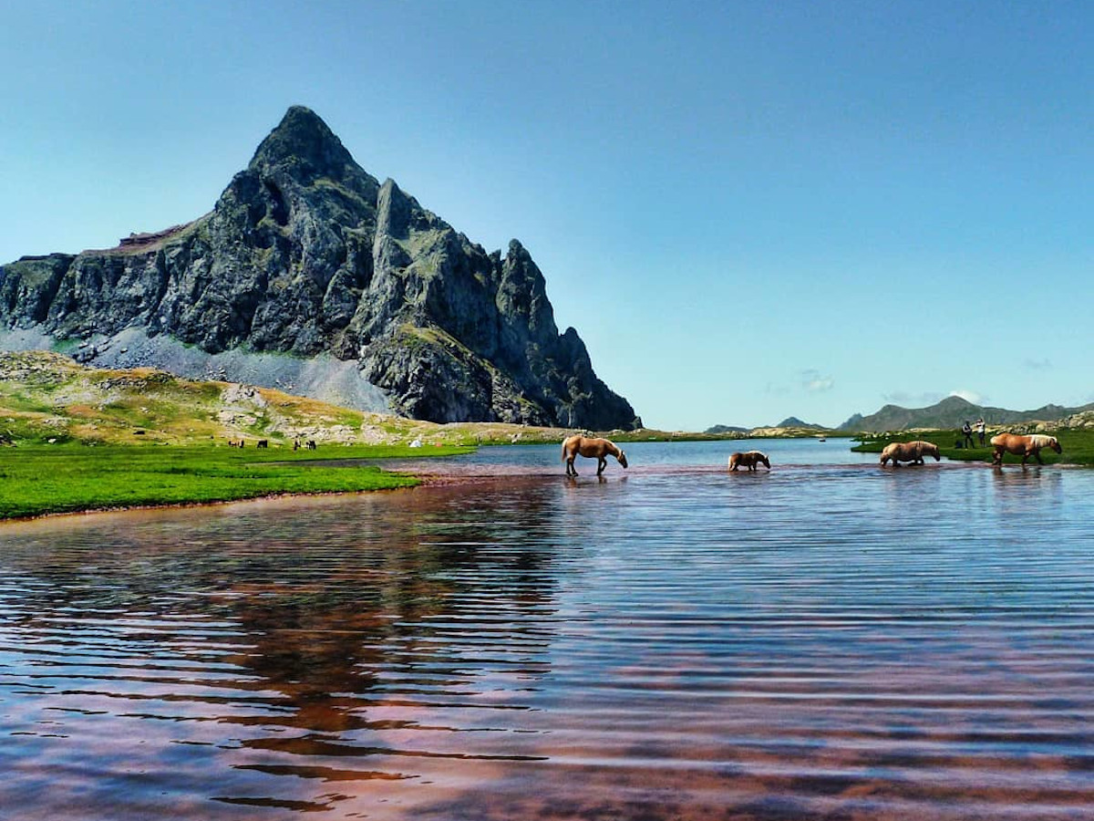
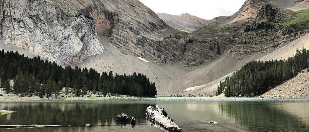
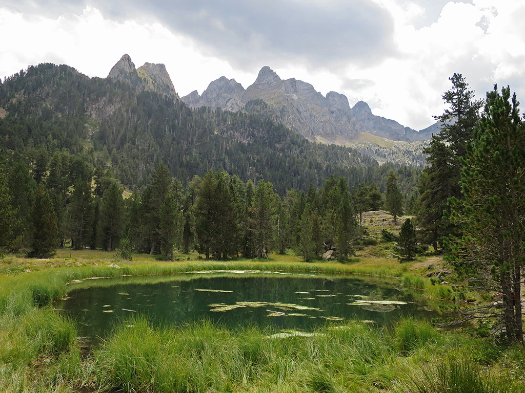
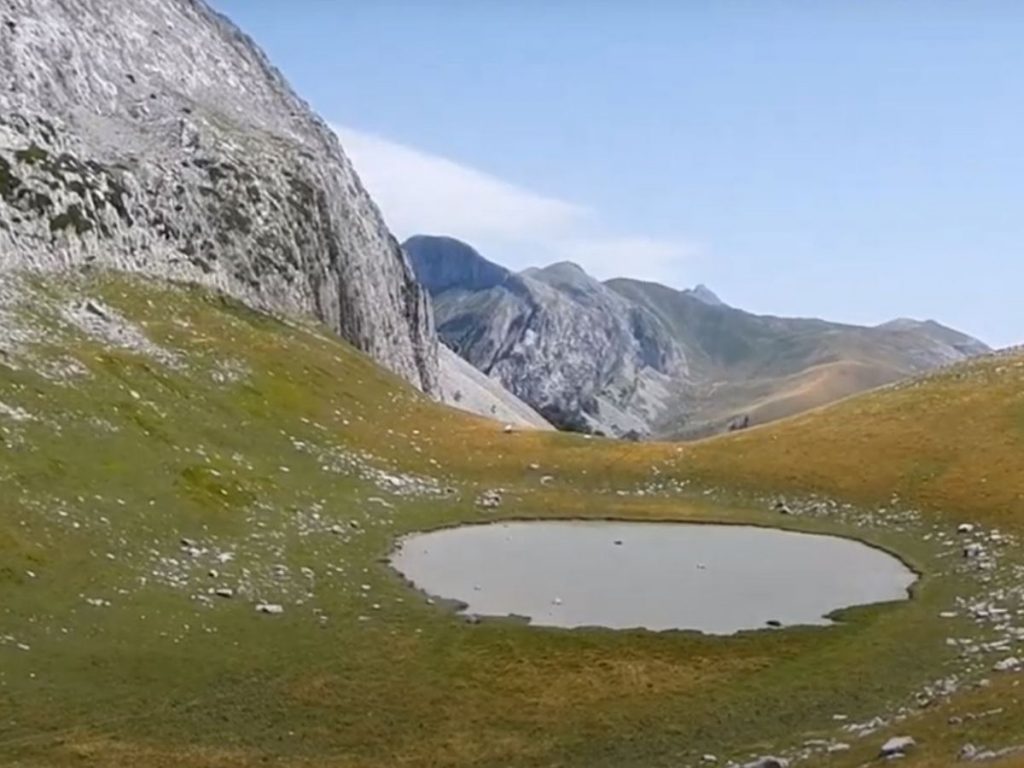
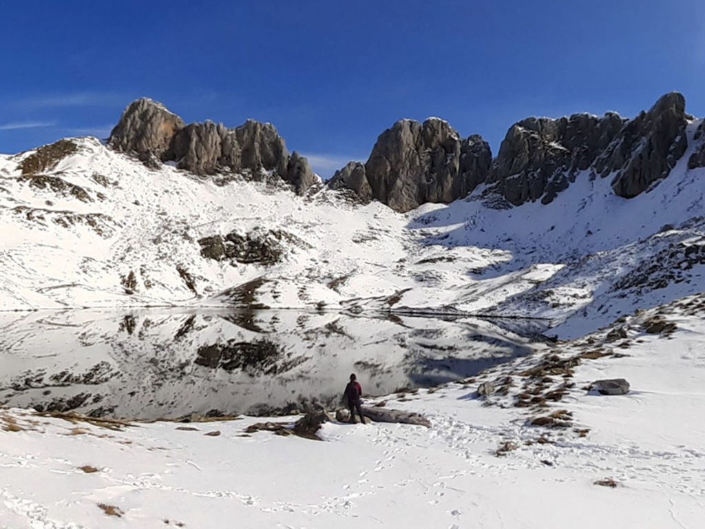
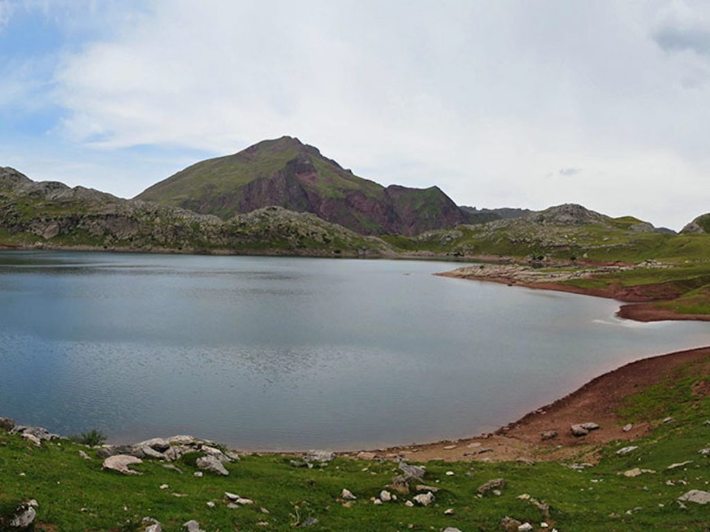
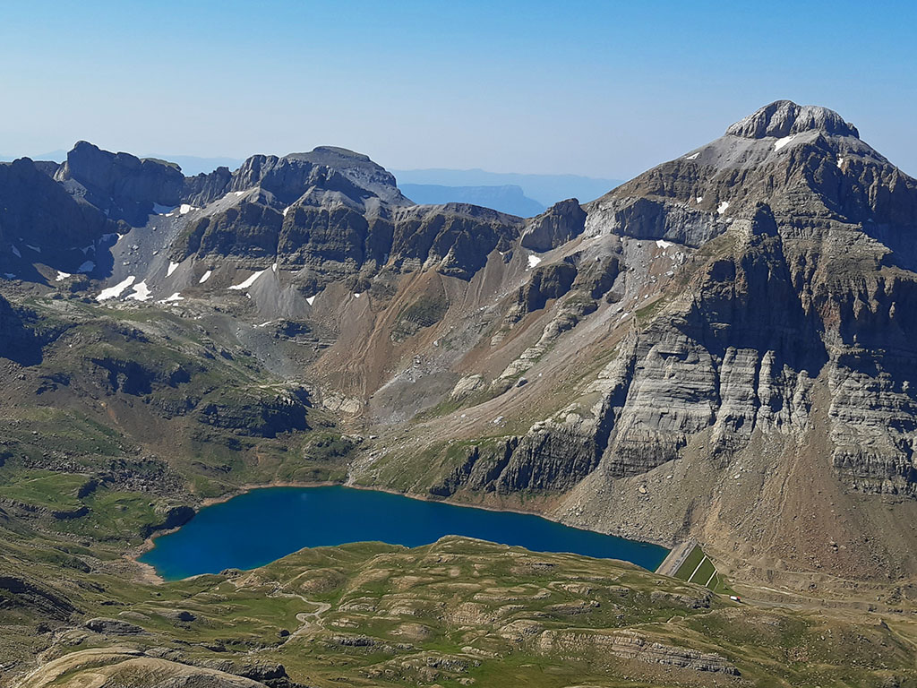
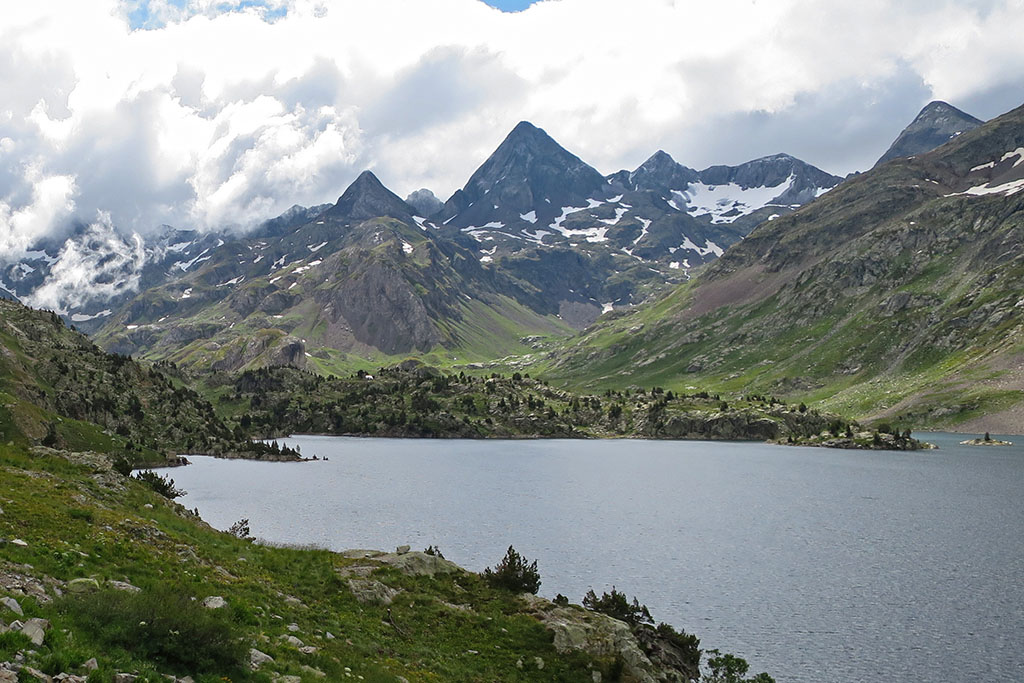
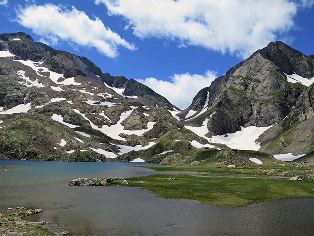
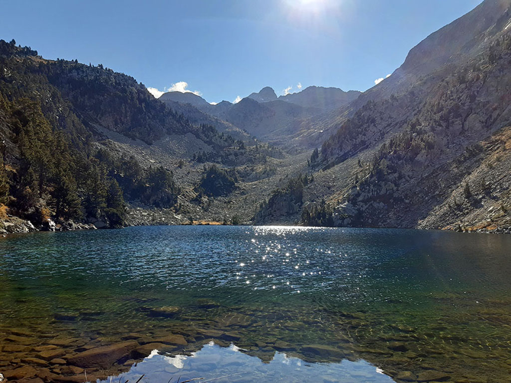
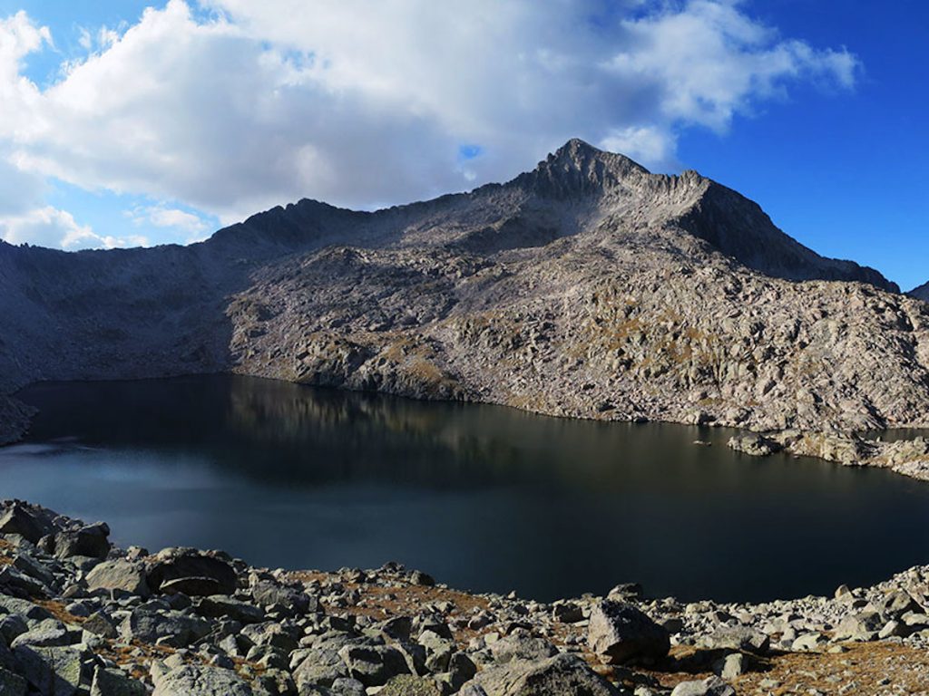
Here 🔥The lakes change their appearance depending on the time of year: covered with ice and snow in winter, with clear waters and surrounded by green after the thaw - the volume of water often drops considerably in summer. They are usually found above 2,000 m above sea level and are surrounded by a varied and beautiful landscape of meadows and mountain ridges. These lakes arose in the glacial era, when the Pyrenees were covered in ice. With cold, clear waters from the thaw, each one has its own blue colour, size and peculiarities.
- Ibones in the Navarrese Pyrenees: Ezkaurre Gorge /
- Ibones in the Aragonese Pyrenees: Ibón de Acherito / Ibón Estanés / Ibones de Anayet / Ibón de Ip / Ibón de Respomuso / Blue lagoons / Ibón de Bernatuara / Ibón de Plan / Ibon de la Llardaneta / Ibón de Pixon / Ibonet de Batisielles / Llauset, Ibones Negre and Cap de la Vall /
- Lakes in the French Pyrenees: Lakes of Ayous-Lac Gentau / Lakes of Neouvielle-Lac d'Aubert /
- Ibones in the Catalan Pyrenees: Estanh Obago / Sant Maurici Lake /
- Ibones in Andorra: Bova Lake /


Ibones in the Navarrese Pyrenees
Ezkaurre Gorge
The Ezkaurre lake is located at the foot of the rocky mass of the peak of the same name. This small lake is the westernmost in the Pyrenees and has a legend in which a princess lost her ring.
ROUTE: Circular route to Ezkaurre from Isaba through the Barranco de Berroeta ravine and back through the Belabarze Valley. (9-10h, 26 km, 1560 m difference in altitude) We propose a beautiful racquet type route (semicircular) starting from IsabaThe route follows the Berroeta ravine, visiting the Ibón de Ezkaurre and completing the day by ascending the peak and then returning through the Belabarze Valley. The route follows the GR11.4 variant (by Ezkaurre) of the Senda Pirenaica on its way from Isaba to Zuriza and returns along the main route (by Belabarze). In winter the descent of the Ezkaurre to the Puerto de los Navarros is dangerous and will require crampons and ice axe.
Similar articles

Ibones in the Aragonese Pyrenees
Ibón de Acherito
In the municipality of Ansó, in the westernmost part of the Aragonese Pyrenees (Aragón-Subordán river basin), is this lake, surrounded by vertical limestone walls, which contrast with the stillness of its waters.
ROUTE: Circular route to Ibón de Acherito (5 hours, 11 km, 750 m ascent). The route follows the path at all times S5 (fully signposted) The climb up to the lake is a route that is worthwhile in itself. The views we enjoy all the way up towards Selva de Oza, Guarrinza and the mountains that rise up on both sides of Aragón Subordán are magnificent. The descent along the Acherito ravine, which is more bearable than the way up, is perfect for this circular route and for contemplating the Pico de Acherito (2,374m) and its neighbours Sobarcal (2,257m) or Foya de Gamueta (2,308m), among others.
Ibón Estanés
One of the most emblematic in the western Pyrenees, on the edge of the Spain-France border, bordered by meadows and closed to the south by the escarpments of the Sierra Bernera. It has a privileged panoramic view over the French Pyrenees. The excursion to the Ibón de Estanés is a classic and very popular route, suitable for everyone.
ROUTE: Ibón de Estanés, circular from Sansanet. Going through the Sansanet beech forest and the Estanés pass, descending through the Espelunguère valley (6 hours with breaks, 12 km, 620m ascent).. We start from the car park of Sansanet (in French territory, barely 5 km from the border), we walk in the direction of "Lac d'EstaensWe crossed the river and the beech de Sansanet. Turn off to your right "Vente de fromage à la cabane" (Escouret Hut). In 1h30 you will arrive at the Ibón. We go round the north side of the lake to arrive near the dam, where the path of Espelunguerewhere we will return. In winter: Excursion to Ibon d'Estanes with snowshoes from Sansanet (a classic in Pyrenean snowshoeing).
Ibones de Anayet
![Ibones de Anayet / Photo: jolumurcia [CC-BY-2.0].](https://travesiapirenaica.b-cdn.net/wp-content/uploads/2018/10/Ibons_dAnayet_By-jolumurcia-CC-BY-2.0_800x600.jpg)
In the sector of the Tena valley, Sallent de Gállego, we find these beautiful lakes over which the Anayet peak rises. The picture of them with the French peak Midi d'Ossau is one of the most repeated on Instagram, along with the Ayous-Lac Gentau lakes, also with this peak in the background.
ROUTE: Ibones de Anayet from Formigal (via Corral de las Mulas) (2h30′, 12 km, 770 m ascent). We start from the Corral de las Mulas on the road leading to the border, once past Formigal. Take the path to the right of the track that goes up to the Station car park. Follow the track and then take the path on the right that goes up towards the Culibillas RavineWe climb along the stream that runs downhill. After a considerable climb, you will reach a valley, from where you will begin to see the first signs of the lakes.
Ibón de Ip
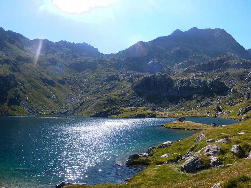
The ibón de Ip (2100m), one of the largest in the Pyrenees, is surrounded by peaks, such as Collarada, has a dam on one of its sides and a bridge that goes a long way into the waters of the lake, which allows you to enjoy a very different view to that of other high mountain lakes, as access to the water is complicated as you have to go down on stones. The history of this lake is linked to its hydroelectric exploitation. To lift materials and workers during the construction of the dam, a cart was built with a 1,000 m drop. It was once the highest waterfall power station in Europe.
ROUTE: Ibón de Ipin the foothills of Collarada. Ibon de Ip Circular Route (4h50′ round trip, 14.8 km, 1050m ascent). From Canfranc-Pueblo there are two signposted routes to access the lake: the camino de La Solana and the path of La BeseraWe can combine them to make an interesting circular route.
Ibón de Respomuso
In the Gállego basin (Tena Valley), there are no less than 70 reservoirs. Those of Ordicuso, Arnales, Azules, Respomuso... The Respomuso reservoir was built in the middle of the last century and is used to harness the power of the water to generate electricity by driving the water down the mountain. There are also underground conduits that feed this beautiful reservoir.
ROUTE: Excursion to the Ibón and refuge of Respomuso (3h, 15.6 km, 770 m difference in altitude). From the Sarra power station (4 km from Sallent de Gallego) you can reach the Respumoso lake (and the Arriel lakes) located in the Piedrafita cirque, following at all times the GR11 (see stage). After crossing the extensive valley that leads to Llano Cheto, you will cross the Arriel torrent. The slope rises again (the so-called Cuesta del Pino) and you will reach the large waterfall that feeds the Aguas Limpias river. In 2 hours and three quarters of an hour you will have reached a height of almost 700 metres of net difference in altitude, but the most important thing is that you will be in front of the Respomuso reservoir, behind which you will be able to see, in the distance, the Refugio de RespomusoYou can walk to it in just a quarter of an hour.
Blue lagoons
In front of the mass of the peaks or pundas Garmo Blanco, Alta de Pondiellos and de la Nevera, known as Infiernos, are these lakes. They have several names, such as the Ibones Azules or the Lakes of HellBut whatever their name, no one can deny that they are beautiful. The route that leads to them is coveted by those new to mountain routes in the Pyrenees.
ROUTE: Excursion to Ibones Azules and Bachimaña from Balneario de Panticosa (5h50′ round trip, 12.7 km, 885m ascent). The route is part of the GR11 Pyrenean Path (see stage). The path climbs steeply to the right of the Caldarés stream. After leaving behind the Mirador de la Reina viewpoint and taking a break in the Bozuelo meadow, the path starts the ascent to Bachimaña, zigzagging along the Cuesta del Fraile. The waters of the river rush into the Salto dero Fraire. We arrive at Ibón Baxo de Bachimaña (2,150 m) and the refuge at Bachimaña. We continue to the Ibón Alto de Bachimaña dam. We border round the lake and almost at the end of the lake a path turns to the left, entering a watercourse and ascends following the stream until we reach the Ibones Azules (2.380 m). We will return by the same route.
Ibón de Bernatuara
In the Ara river basin (from Bujaruelo to Aínsa), there are 9 lakes, two of them within the Ordesa National Park. Among them, that of Bernatuara. In the Cinca river basin (which originates in Pineta), we find the ibón del Cao, ibón de Marboré, or the ibón de La Munia and the Lagos de LalarriThe Ibón de Bernatuara is reached after going up the course of the river Cinca from the Parador de Bielsa - Monte Perdido. The Ibón de Bernatuara suddenly appears before our eyes, with its crystalline greenish waters. It is large and round in shape, almost a perfect circle.
ROUTE: Excursion to the circular lake of Bernatuara and Bernatuara peak. (4h40, 12.8 km, 1270 km elevation gain). From San Nicolás de Bujaruelo we can go on an excursion to the Ibón Bernatuara and finish with the summit of Bernatuara, with excellent views over the valleys of Ordiso and Bujaruelo in the background and on the horizon the nearby massifs of Tendeñera, Vignemale and the peaks of the Gavarnie cirque. Starting from the Bujaruelo refuge we begin the ascent of the Bujaruelo pass, after about 30-40 minutes we reach a high voltage tower where we take a new path on the left that takes us to the head of the Lapazosa and Bernatuara ravine, we cross it over a metal footbridge and ascend to the lake, a final diagonal to the right allows us to access the small pass and we are already at the lake (2305m). We continue along the left-hand side, the path continues to Puerto de Bernatuara (2338m). From here we can climb Pico Bernatuara (2516m), to the left (west). We return along the same route. An alternative is to access the Ara valley from the Bernatuara pass and return along the GR11 back to the Refugio de Bujaruelo.
Ibón de Plan
In the Cinqueta basin (Gistaín) there are 14, among them the la Basa de la Mora lakeconsidered one of the most beautiful in the Pyrenees, the Ibón de PlanThis glacial lake, located in the north of the province of Huesca, is a magical and enchanting place. There is a beautiful story about the apparition of a young Muslim girl who every 24th June - Saint John's Day - performs a sensual dance on the surface of the water.
ROUTE: Route to Ibón del Plan from Lavasar refuge. From the village of Saravillo An 11.6 km track leads to the Lavastar hut, which is located at an altitude of about 1930 metres - access by car is complicated, as the more you approach the hut, the more potholes you will find in the road. Another option for reaching the refuge is to walk along the PR-HU 87 path from Plan. From the Lavastar refuge (2 hours (return trip), 3.5 km, 80m gradient)The route continues on foot to reach the Ibón de Plan in about 3 kilometres and 30 minutes.
Ibon de la Llardaneta
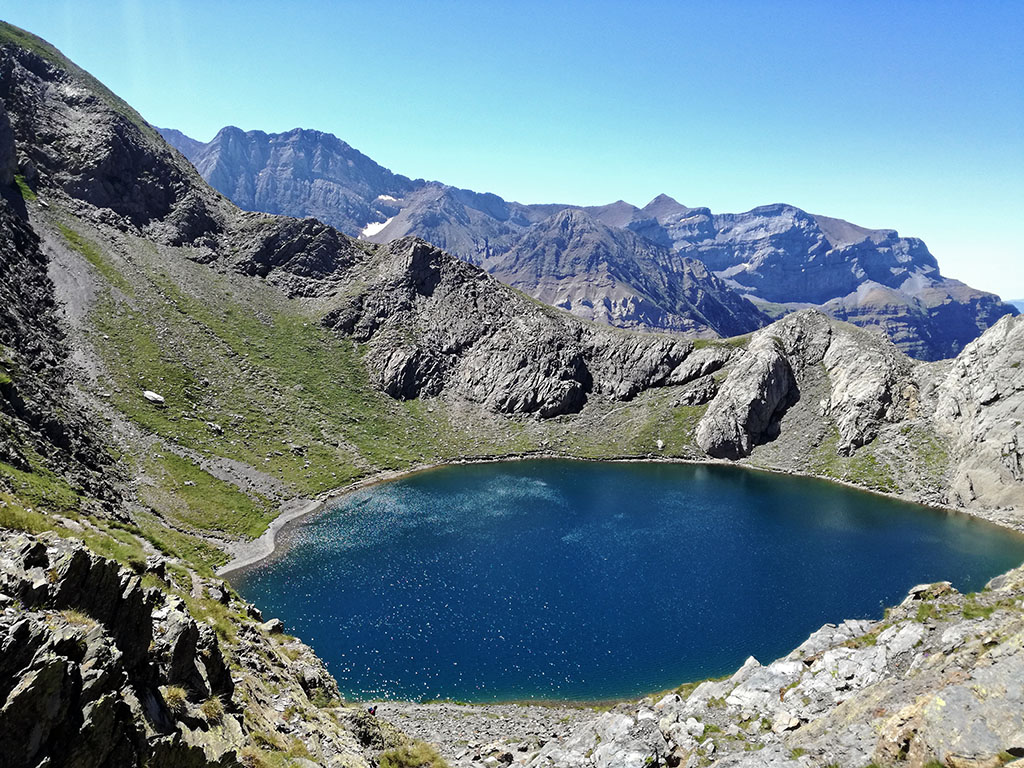
In the basin of the Ésera (which rises in the upper reaches of the Benasque Valley) there are 71 lakes, almost all of them in the Posets-Maladeta Natural Park. In one of the secondary valleys, Cregüeña, we find the largest natural lake in the Aragonese Pyrenees, the Cregüeña lake, so much so that some people call it the "sea of the Pyrenees". Surrounded by peaks of over 3,000 metres in altitude in the Posets-Maladeta Park is the Ibon de la Llardaneta at 2,676 metres.
Ibón de Pixon
The head of the Chistau valley is surrounded by peaks that in many cases exceed 3,000 metres and form endless granite ridges that dominate the valleys of Zinqueta de la Pez and Zinqueta de Añes Cruces. Below the peaks, occupying the bottom of the over-excavation basins modelled by the glaciers, there are a multitude of ibones. Among them, the Ibón de Pixónone of the most beautiful in the Pyrenees.
ROUTE: Circular route to the Ibones de Pixón, Solana/Luzeros, Leners and Millars. (6h25′, 13.3 km, 1300 m elevation gain). Circular route in which we will visit the main lakes in the Viadós area, at the foot of the Eristes. One of the essential routes in the area. From El Forcallo Campsite / Virgen Blanca Campsite, we follow the GR19 path. One kilometre further on the path that climbs up to the Pixón lake. From here, green markings indicate the path to the Solana/Luzeros lake and the lake of Es Leners, separated by a pass at 2,570m, which is the high point of this route and the halfway point of the route. A marked path descends to the fourth lake, Millars. The route continues descending the Ribereta ravine following the GR11.2, until it comes out practically at the bottom of a track where the GR is abandoned and along which we return to the starting point.
Ibonet de Batisielles

The Ibonet de Batisielles has a special charm that makes it different from other lakes we are used to seeing, full of life. It is in a beautiful spot, surrounded by pine trees and enveloped by a meadow where small reeds grow along the shore. In the background, the needles of Serisueles, Chuise or Ixeia, create an incomparable setting. A magical place in which to relax and let time pass.
ROUTE: Route to Ibonet de Batisielles (5 hours round trip, 10 km, 555 m ascent). In the beautiful Estós Valley, the excursion up to the ibonet de Batisielles following the footpath S3is one of the best known routes in the Benasque Valley. The walk that we propose ends here, at the ibonet de BatisiellesHowever, the path is signposted until the Escarpinosa lakeforty minutes further up the road.
Llauset, Ibones Negre and Cap de la Vall
On the border with Catalonia, in the basin of the river Noguera-Ribagorzana (natural border between Aragon and Catalonia) there are 22 ibones, all within the Posets-Maladeta Natural Park. You can go to the lake of Basibé, which can be reached from the village of Fonchanina, or the lakes of Llauset, Angliós and de la Vall, which can be reached from the village of Aneto.
ROUTE: Cap de Llauset-Ibones Negre and Cap de la Vall. At all times we follow the GR11, GR 11.5, which links La Renclusa refuge with Cap de Llauset refuge through the Barrancs valley, Salenques pass, Cap de la Vall and Negre lakes and es Ibons pass. We can start from Cap de Llauset refuge (2,424 m) 310 m from Cap de Llauset lake.
Lakes in the French Pyrenees
Lakes of Ayous-Lac Gentau
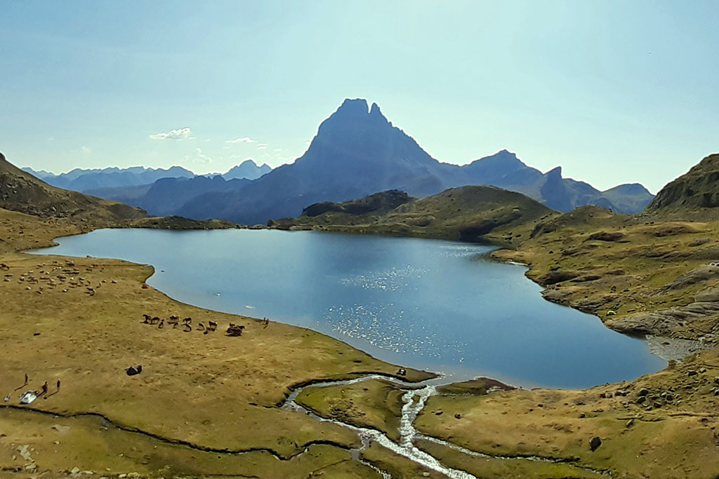
The panoramic view of the Ayous Lakes (Lacs d' Ayous), the sheet of water of Lac Gentau reflecting the most unique mountain in the western Pyrenees: Midi d'Ossau (2,884 m), is one of the most beautiful landscapes in the Pyrenees. So much so that it will be one of the most instagrammed places in the Pyrenees.
ROUTE: A family outing: From the Truchas lake to the lakes of Ayous (10 km, 750 m ascent). The excursion is easy, suitable for small children, as you can reach the Truchas lake, or ibón de Astún, by chairlift. From there we will walk for about two hours one way and a little less on the way back. The way back is by the same route. We take the Truchas chairlift in Astún (although if you don't have children and you are fit you can walk up the 450 metres of height difference).
Lakes of Neouvielle-Lac d'Aubert
The National Nature Reserve of NéouvielleThe Pyrenees National Park, in the extension of the Pyrenees National Park, will make you fall in love with its landscapes sculpted by glaciers and its paradise of granite peaks - the highest point being on the Long peakThe park is located at an altitude of 3,192 metres, with meadows and crystal-clear waters. In this magical place there are more than 80 lakes, the most important of which are the the Orédon, Oule, Aubert and Omar lakes,
ROUTE: Circular route around the Néouvielle lakes (4h20′, 11,2 km, 520m ascent). We propose an itinerary around the lakes of the Néouvielle Nature Reserve: Orédon, Les Laquettes, Aubert and Aumar. We will start from the Orédon Lake (car park). A path goes up to the lakes of Les Laquettes. We go around the lakes and the well-marked path continues to the lake of Aubert and the lake of Aumar. Skirting around the northern side of the latter, we head up the mountainside until we reach the Estoudou pass. From this point we descend towards the Orédon lake, in the middle of a leafy forest, to close this circular route.
Ibones in the Catalan Pyrenees
Estanh Obago and the lakes of Colomers
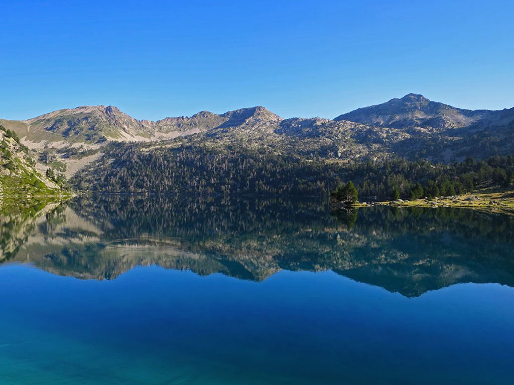
The National Park d'Aigüestortes i Estany de Sant Maurici is characterised by the imposing silhouette of the "Els Encantats"The route takes you through the more than 200 lakes and the high mountain meanders of the Aigüestortes. The Estanh Obago is one of the most representative lakes in Aigües Tortes.
ROUTE: Route around the Colomers lakes, Val d'Aran (6h, 16 km, 545 m ascent). Starting from Plan des Banhs, we propose a semi-circular route lasting 6 hours. The route will show us the waterfall and the area of Aigües Tòrtes, the Pletiu dera Montanheta and the lake dera Lòssa, to arrive at the refuge of Colomèrs. Now, from the hut, we make the short return to the lakes of Colomèrs visiting the lakes Mòrt, Garguilhs de Jos, Cabidornats, Long. Before arriving at Estanh Long we will see a sign indicating the Estanh ObagoWe will leave the official route of "the 7 lakes of Colomers" (the short one), but we will add this essential lake of Aigües Tortes. We will close the route at the starting point having done an intermediate route between the official "short" and "long" routes of the Colomers Lakes.
Sant Maurici Lake
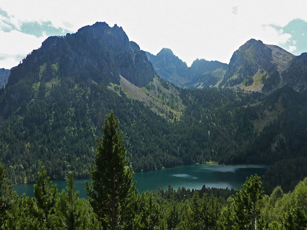
Espot is surrounded by valleys and mountain ranges dotted with dozens of lakes and ponds, but it is the Sant Maurici lake, the closest to the municipality, that gives the park its name. Sant Maurici is 1,910 metres above sea level and its origin is obviously glacial. However, Sant Maurici is not the only postcard that will surprise you. If we look up, it is easy to make out the peaks of the Encantats, which stand 2,700 metres high to defend the lake.
ROUTE: Sant Maurici Lake from car park, Aigüestortes Natural Park and Sant Maurici Lake (3h return trip, 8 km, 380 m ascent). Leave your car in the car park (only taxi-jeep vehicles can access the Estany de Sant Maurici). The first section of the route is enabled for people with reduced mobility and runs through a beautiful forest until you reach a bridge where you leave the wooden plank path and change to a path. We cross the track several times where the taxi-jeep vehicles go up. We pass the Hermitage of Sant Maurici (fountain) to reach the Sant Maurici Lake where we can enjoy its great beauty and the Els Encantats Peaks which are the symbol of the Park. This route is fully signposted and ideal for an excursion with children.
Ibones in Andorra
Bova Lake
The path goes up the Madriú valley passing by the Riu Dels Orris refuge, we are in a magnificent setting of mountain lakes, such as the Estany de la Bova; a fabulous mountain lake so called because of its magnificent population of bova or anea, a plant typical of aquatic spaces.
ROUTE: Vall del Madriu to Bova Lake (13.6 km, 1180 m ascent). The route starts in the parish of Escaldes-Engordany (crossroads of the Comella and La Plana road with the Engolasters road). We start along a cobbled path next to the Bordes d'Entremesaigües. On the right you leave the Perafita valley and continue straight on towards the Ràmio ridges and in the direction of Fontverd. We ascend between woods and clearings near the Madriu river, until we reach the Fontverd hut. Now we pass the Farga hut and the Serrat hut, the Ingla hut, and we reach the Riu dels Orris hut. The route finally ascends to the Bova lake.
Fastpacking is not about going faster. It's about going lighter.
If you come from classic trekking, this is the next step: learning to move with less weight,
more fluid and enjoying every kilometre more.
Join the Outsiders Newsletter and start discovering what lightness feels like.