Pyrenean hikes: Discover the most emblematic circular trekking routes in the Pyrenees
Pyrenees and mountains 📩
Here 🔥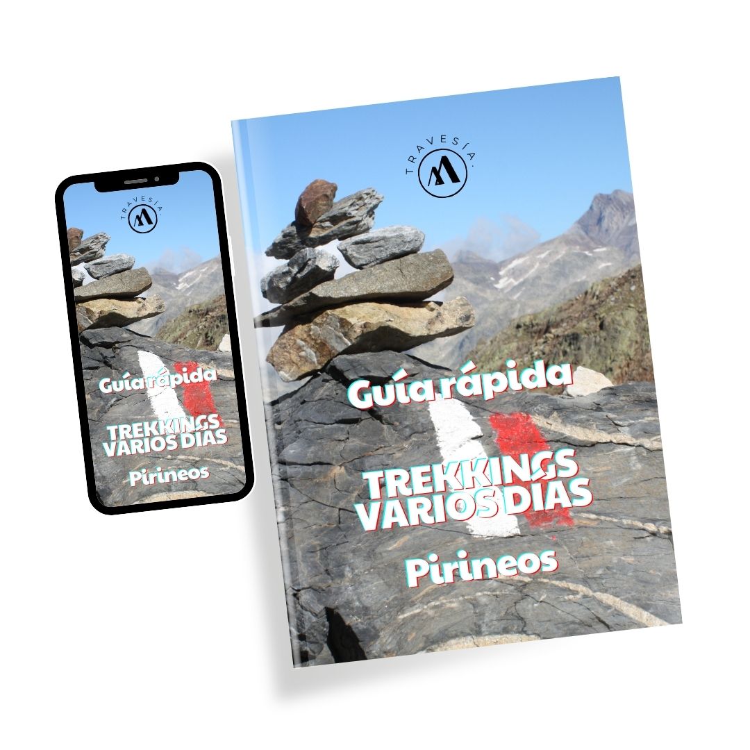
Quick guide TREKKING SEVERAL DAYS in the Pyrenees
with everything you need to know before undertaking a multi-stage circular route.
In the shelter of the refuges, routes and itineraries have emerged that, thanks to the shelter they offer, allow you to enjoy the wild nature of the Pyrenees. Trekking, as I suggest here, is much more than a more or less demanding physical activity: it is a time shared around a table at a refuge, when a thousand and one experiences and stories come to the fore; it is the emotion of reaching a pass and seeing a new valley open up before your eyes. It is the stillness and reflection of hours of walking with your thoughts. It is the return to an origin where you can do without the many material things that accompany us in our stressful lives. It is much, much: it is change, it can be reunion, return, enjoyment.
The series of routes that I propose to you have in common that they are circulars. I have divided them into (here are a couple of shortcuts):
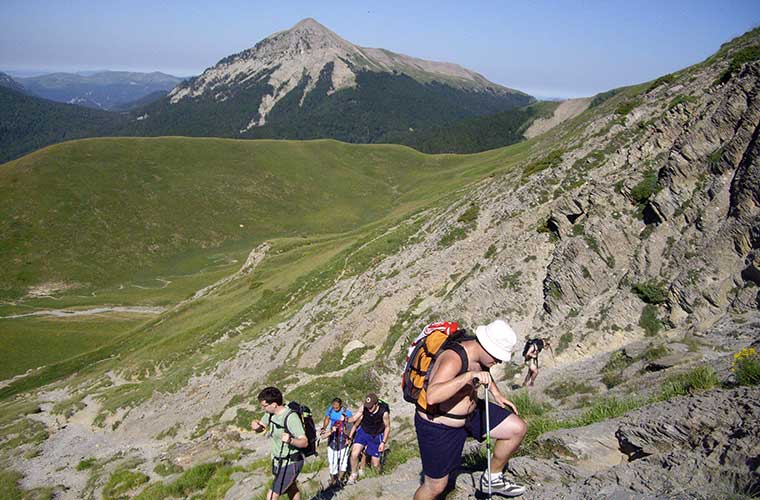
Circular routes through the Pyrenees of more than 4 days
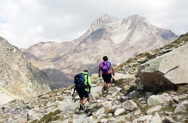
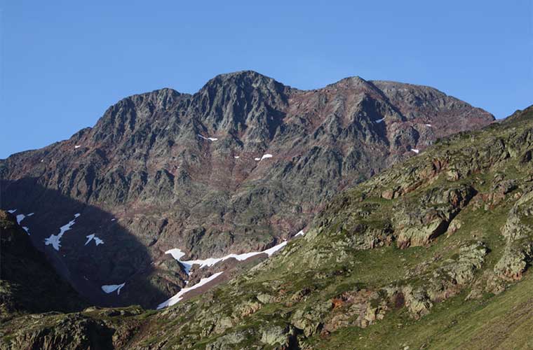
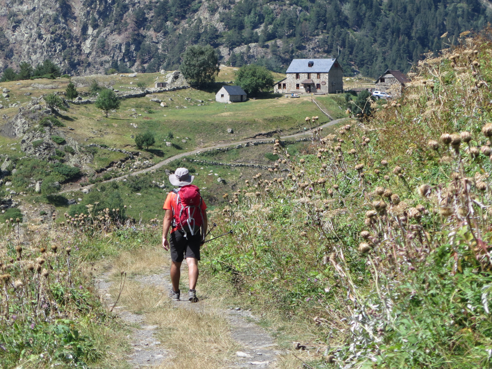
Natural separation between France and Spain, the Pyrenees have always been, paradoxically, a place of passage. A meeting place and an enclave where human beings have been making their way as they have settled on both sides of the border. Topped by rugged and impressive peaks, the Pyrenees also have valleys, narrow passes, paths of all kinds and, of course, all kinds of trails that are ideal for lovers of nature, sport, hiking and an authentic, rural way of life.
If the three-day circular routes that we propose below are interesting and a good way to get in touch with mountains like the Pyrenees, now we are going to show you other more demanding and complete routes that last at least four days, and in which you will have an even greater contact with these millenary mountains.

Route of the swallows".
If you are looking for a 4-day circular route through the Pyrenees we can tell you, without fear of being wrong, that the Golondrinas route will meet all your expectations. Located between the Aragonese Pyrenees and the Pyrenees navarroThis route has it all and will provide you with some great moments. There are 3, 4 and 5 day alternatives.
In total you will face a a difference in altitude of about 5,000 metresThe route is divided into stages of varying difficulty, with an average duration of 6 hours. A route for trekking enthusiasts with an average level of fitness. You will be able to see such emblematic places as Txamantxoia, Petrechema, or the Three Kings Table. However, you should be aware that the route is not signposted, so you will need to know how to find your way around or be accompanied by a local guide who knows the route well and can guide you along the way, as well as informing you about the most emblematic places you will pass through.
Camino de Santiago 101
A Quick Guide in English to Preparing Your First Camino de Santiago: Which Route to Choose, How Many Days You Need, How to Pack Your Rucksack, and How to Go from “Someday” to Having a Real Plan.
🟡 Camino 101 for beginners
Practical tips for choosing a route, dates, and backpack
📍 Free community guided by a local on the French Way
💬 Questions and answers within Skool
Camille Path".
One of the most curious and special routes in the Pyrenees is the Camille Trail. You should know that it is named after a native bear, one of the last bears in this mountain range, who used it on his regular journeys and that it has since been used by all kinds of mountaineers and hikers as a tribute to him.

You will pass through the most beautiful landscapes of the Western Valleys Natural Park and the Pyrénées National Park. You will be able to see such beautiful places as the beech forest, the Aspe Gorge or the imposing Lescun circus. In addition, you will have the opportunity to climb to the top of such important peaks as Petrachema, Agujas d'Ansabere, Castillo d'Acher, Agüerri, Bisaurín or Aqué. The Camille Trail can be done in 6 or 7 days. There is a variant from the Linza refuge to the Gabardito refuge that allows us to shorten a day, although we will miss the passage through the Selva de Oza.
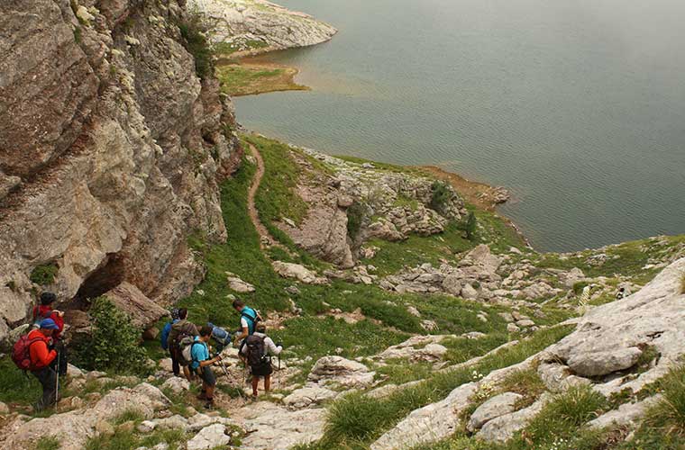
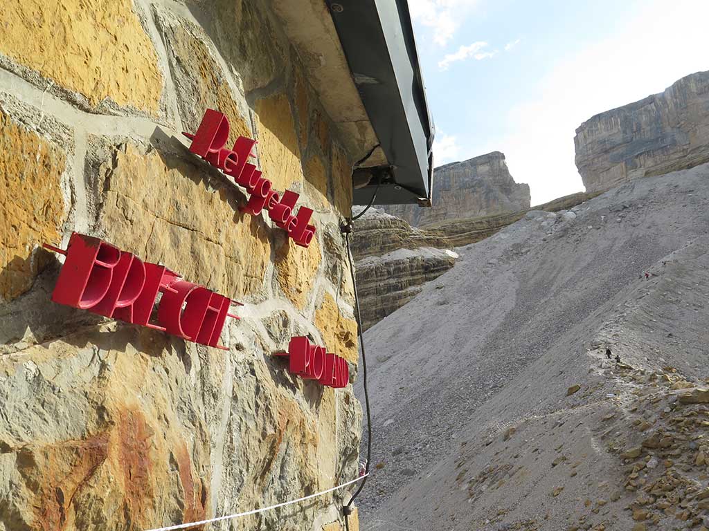
The high road of the lost".
The Alta Ruta de los Perdidos is an attractive circular route in the Pyrenees, which runs through the highest limestone massif in Europe. Here, once again, you will pass between Spain and France and between such incredible places as Monte Perdido and the Cirque de Gavarnie. A circular trekking route around the massifs of the Monte Perdido and the VignemaleThe route takes you through the Ordesa y Monte Perdido National Park, as well as through the French Pyrenees National Park in the central Pyrenees.
The route runs through 8 refuges and can be done in several stages, 6 days is the most usual for the most classic route, although it is also possible to cover the whole of the 92-105 km with more than 6,000 metres of accumulated altitude gain in a single day - the record is just under 14 hours.

On this route you will leave and arrive at Bujaruelo, but before you return you will have seen all kinds of landscapes and experienced moments you will never forget. These include places such as the Añisclo pass, the Monte Perdido glacier, the Gavarnie cirque, the Vignemale peak and the Ara valley.
Pass Aran".
Between the Catalan and French Pyrenees lies another long-distance route that will delight nature lovers. In this case we are talking about the Pass Aran, a natural pass between the two countries that you can tackle without being in exceptional physical shape, although you must fulfil certain requirements and take certain precautions.

It is a route of medium difficulty, so it is not accessible to everyone, as good physical condition is required and experience is also recommended; and although the basic route does not involve too many technical difficulties, alternative ascents are also available as an option, some of which require greater skills and mountain equipment. They are about 72 km -a little bit more if you choose to add some of the optional climbs and sections - with more than 11,000 metres of accumulated height gain. Although there are sporting options to cover it in a short time, the recommended walking route is for a short time. 5-day tour. The circular route is located between the Val d'Aran and the French region of Ariège. You can start the route at the Amics de Montgarri hut (Val d'Aran) or at one of the French huts, with the exception of Estagnous.
This route has the peculiarity that it can be done from four different starting points. One in Spain, from the Amics de Montgarri Refuge. And another three from the French side. In this case we are going to choose the one that starts from the Spanish side and we will go into France and then return to the starting point. In total, we have to take into account that we will cross up to 5 mountain passes that are over 2,400 m above sea level. Among the most impressive places you will discover along the way are the Valier Massif, Lake Milouga and the Crabère Peak.
Eth Setau Sagèth".
A medium-difficulty route, ideal for enjoying with friends or colleagues; the classic route is of 5 steps and runs in a clockwise direction. The crossing has a signposted path and easy access so that no hiker has any difficulty whatsoever and enjoys the route at all times.
These trails have been well marked and signposted since this work was carried out in 1998 and run, to a large extent, along the border crossing at the Vielha pass, which has always been a regular crossing point between France and Spain. This crossing, with 103 kilometres of route and 9,100 metres of elevation gain. The route starts and ends in Vielha. We will pass through three mountain passes, the coll de guerra and the Torán valley, considered a paradise, with forests and hanging valleys.
You will learn about the importance that mining has always had here, you will discover the secrets of transhumance or you will be enchanted by landscapes such as those formed by the lakes of Mar and Tort de Rius, as well as by the Aigüestortes National Park as a whole.
The area is also home to the Liat lakes and of course the old and emblematic mines of the region. The tour culminates at the Port de Vielha which is 2,470 metres high. The valley was used by the inhabitants to transport goods, and has interesting stories about the way of life and traditions of the local people.
Carros de Foc" (Chariots of Fire)
![Carros de foc: a high altitude trekking in Aigüestortes i Estany de Sant Maurici National Park / Cotarelo75 [CC-BY-SA] Wikimedia Commons](https://travesiapirenaica.b-cdn.net/wp-content/uploads/2018/05/Refugio_de_J.M.Blanc_en_el_Parque_Nacional_d'Aigüestortes_-_Lérida_España_By-Cotarelo75-CC-BY-SA-3.0-httpscreativecommons.orglicensesby-sa3_760x500.jpg)
Continuing to discover the Aigües Tortes i Estany de Sant Maurici National Park, we recommend a route that lacks nothing: the Carros de Foc route. A circular route through the shelters in the Aigüestortes and Estany de Sant Maurici National Parkin the north-west of Catalonia in the Pyrenees of Lleida

This route consists of 55 kilometres and is usually carried out in stages of between 5 and seven daysDepending on your fitness, the speed at which you want to do it and even the weather. It should be borne in mind that it reaches an accumulated height gain of 9,200 metres, as well as an average altitude of 2,400 metres. Therefore, it is for people with some experience in the mountains, who want to discover new places, but who know what they are doing.
GRP: back to Andorra".
One of the most special places in the Pyrenees is Andorra. This small country has carved a niche for itself in the hearts of mountain and nature lovers. Along these lines, and with great success, the GRP vuelta a Andorra (GRP around Andorra) was created. A circular route that crosses a large part of Andorra and allows you to appreciate its natural wonders.
The GRP is a circular long-distance footpath around Andorra that is fully signposted (red and yellow). It has an approximate length of 115 kilometres and almost 9,000 metres of elevation gain, usually divided into 7 stages.. As it is circular, the route can be started from different points and done in one direction or the other, although, from the Principality of Andorra tourism websiteThe "official" starting point is Aixovall and the direction of the walk is counterclockwise. However, this is not a hiking route in the Pyrenees suitable for beginners, but rather for people with experience and stamina.

Along the route of this tour of Andorra you will pass some of its most impressive peaks such as the Pico Negre (2,644 m), the Coll de la Maiana (2,426 m) or the Coll dels Pessons (2,810 m). As well as unforgettable places such as the Nou Lake, the Madriu Valley (declared a World Heritage Site), the Juclà Lake, the largest lake in Andorra, or the Circ de Pessons.
Cavalls del Vent".
![Cavalls del Vent. Refugi Prat Aguiló / Photo: Solde [CC-BY-SA-3.0].](https://travesiapirenaica.b-cdn.net/wp-content/uploads/2018/03/Cavalls-del-Vent_Refugi_Prat_Aguiló_des_de_lAguiló_by-Solde-CC-BY-SA-3.0_1000x750.jpg)
The Catalan Pyrenees is a continuous box of surprises. Another circular route through the Pyrenees lasting four days or more is the Cavalls del Vent. Here you will complete over 85 kilometres and you will face an altitude difference of 5,600 metres.. In this case, you will be travelling almost entirely along the Cadí-Moixeró Natural Park. Here you will find the most diverse fauna, the most authentic flora, as well as all kinds of refuges, eight in total, to rest and recharge your batteries before the next stages of the route.

The peculiarity of this route is that you can start at any of the refuges, always returning to the starting point and marvelling at everything your eyes and senses will see and feel as you go. Highlights include places and spots such as the Alt Berguedà, the Coll de Jou, the niu de l'Àliga and the Serrat de les Esposes.
Porta del Cel" (Cell door)
One of the most famous routes through the Catalan Pyrenees you may come across is the Porta del Cel (Heaven's Gate). The name is not something chosen, far from random, but refers to two emblematic places that you will pass through on this impressive route, such as the highest peak in all of Catalonia: the Pica d'Estats (3.146m). As well as the largest glacial lake in this autonomous community, l'estany de Certascan. Walking with the reflection of the lake and seeing the snow-capped peaks around you will make you think you are ascending to heaven itself.

The High Pyrenees Natural Park is home to a large part of this route which, like so many others we have shown you here, runs naturally and freely between France and Spain. It is a route for people with a certain amount of experience because over its 65 kilometres, it faces a difference in altitude of 11,000 metres.Therefore, it is important to be well equipped at all times.
High Route of the Cathars or Camí dels Bons Homes".
![Bellver de Cerdanya / Photo: MARIA ROSA FERRE [CC-BY-SA-2.0].](https://travesiapirenaica.b-cdn.net/wp-content/uploads/2019/05/Bellver_de_Cerdanya_by-MARIA-ROSA-FERRE-CC-BY-SA-2.0_800x600.jpg)
This time we are going to combine hiking in the Pyrenees with tourism and culture to tackle the now famous Camí dels Bons Homes or Cathar Route. The name, in itself, refers us to ancient traditions, to other forms of culture and thought that, in some way, are still in force today, although they are sometimes unknown to us.

This is one of the largest of the routes we have discussed in this article and it is tackled by in no less than five days and a maximum of seven to eight days. Not surprisingly, it consists of 200 kilometresAlthough it can be tackled in different sections and with different itineraries. This route can also be done on foot, by bicycle or even on horseback. The alternatives, therefore, are diverse and will depend on your tastes and preferences.
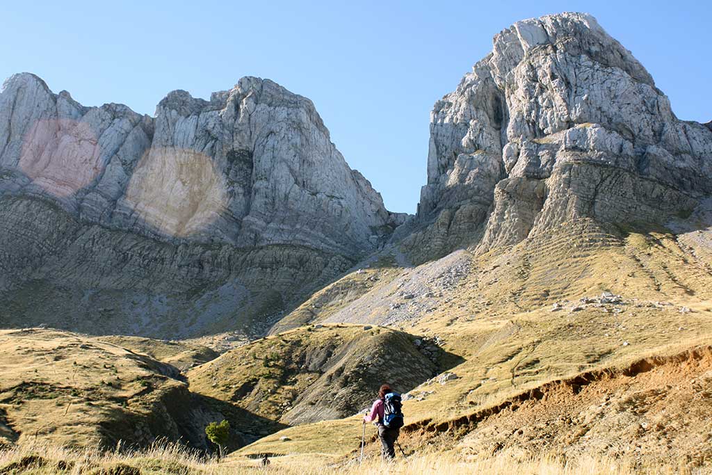
3-day circular routes
First of all, we are going to introduce you to four famous routes that are usually completed in three days and which, of course, are circular. They will take you deep into these mountains and give you truly unique experiences. You will see places such as the three refuges, the Cirque de Gavarnie or the Vignemale. Truly unique places where you will feel the need to take out your camera to immortalise such beautiful moments.
The return to Aneto
The complete tour of the monarch of the Pyrenees, the Aneto, is one of the best three-day routes we can do in the Pyrenees.
This is a high mountain route, with passes over 2,800 metres in altitudeThe terrain is steep, with snow at any time of the year and a significant difference in altitude. A trek reserved for well-equipped mountaineers in good physical shape.
The Tour of the Aneto is signposted using the markings of the GR11 long-distance footpath. or Pyrenean Path. In fact, it takes advantage of the main GR11 path (to the south) and its variant GR11.5 (to the north), to complete an itinerary that circumnavigates the entire massif.
Tour of the Balaitous
Further west, but also in the Aragonese Pyrenees, you have the possibility of completing an interesting route: the Vuelta a Balaitous. This is another of the most important peaks in the Pyrenees.
The starting point is the Sarra reservoir. And then you can stay in refuges such as the ones at Respumoso and Larribet. On the way, you will also have access to such spectacular sights as the Neus glaciers, Latour Gap or the Great Diagonal. Not forgetting other points of great beauty such as Frondiellashimself Balaitus peakor the Crestas del Diablo. On this route you will be continually straddling France and Spain and you will feel the freedom of walking between the two countries surrounded by all kinds of fauna and flora.
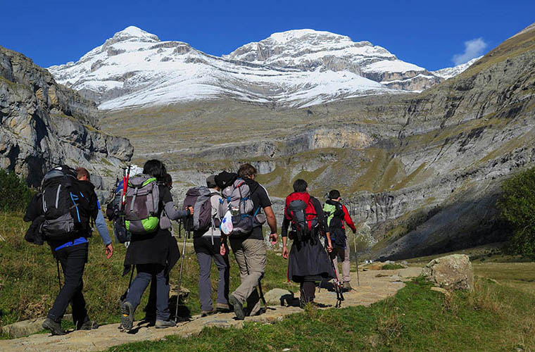
The return to Monte Perdido
A high mountain route around the Monte Perdido massif that will allow us to contemplate some of the most spectacular attractions of this limestone massif, such as the Gavarnie Cirque, the Roland Gap and a glimpse of the north face of Monte Perdido from Marboré Lake.

Each of the route days will have its own attraction. Leaving from the Pineta refuge, the first day we will pass through the Balcón de Pineta and the Tucarroya gap, with the added attraction of being able to contemplate the north face of Monte Perdido. On the second day it will be the Cirque de Gavarnie that will overshadow the landscape until the end of the day, when we will find ourselves face to face with the Roland Gap. And to close the elixir of sensations on the third day we will go from the Serradets Refuge to the Pineta Refuge, passing by the faja de las Olas and the Añisclo mountain pass.
Tour of the Vignemale
With its 3,298 metres, the Vignemale peak is one of the landmarks of the Pyrenees. It has always represented a challenge for all types of Pyrenees climbers and is also an ideal place for routes in the Pyrenees and the surrounding area. In this respect, the Vignemale tour is an exceptional opportunity to explore these beautiful landscapes.
The first day you will leave Bujaruelo in the direction of the Ara valley to rest, after approximately eight hours on the road, in the refuge des Oulettes. On the second day you will climb the Vignemale peak, going up the impressive Ossoue glacier and rest in the refuge. Baisellance. From there, you will return to your point of origin on the third day, passing through the attractive Ossoue and La Canau valleys. This is a route of medium-high difficulty, as it has to be taken into account that it reaches a height difference of up to 1,200 metres.
Route of the three refuges".
The route of the three refuges runs very close to one of the most important mountains in the whole chain, the Posets. In fact, its 3,369 metres make it the second highest in the whole mountain range.

To do this you will have to head towards the Estós valley and then pass through the refuges at Estós, Biadós and Angel Orús. This route always runs at an altitude of over 1,000 metres, with the highest points being the Collado de Eriste, at 2,964 metres, and the Collada Plana, at 2,702 metres. The starting point is located very close to the town of Benasque, which will be your point of reference and to which you will return once you have completed the entire route after three days that you will never forget. We can guarantee that the views you will encounter are unique and that you will take with you all kinds of memories.
Hiking in the Pyrenees, as you have already seen, offers endless options and possible adventures. Here we have suggested some of the best circular routes to meet these challenges in a dynamic and fun way, but there are also others. In any case, we guarantee that you will enjoy the purest and most authentic nature.
Next month we want to do a trip through the Pyrenees, but we are still not sure which route to do. We are going with a 5 year old boy who is used to the mountains. Which one would you recommend to be the first one? Dogs are not welcome in the mountain huts, are they?
Hello!
I would recommend the Senda de Camille, which is more accessible than, for example, the Carros de Foc, and the scenery is spectacular. You will enjoy it a lot, no doubt.
As you say, you would not be able to enter the shelters with dogs. In the case of France, it would also be simply forbidden to enter....