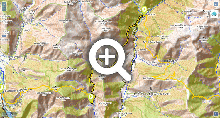
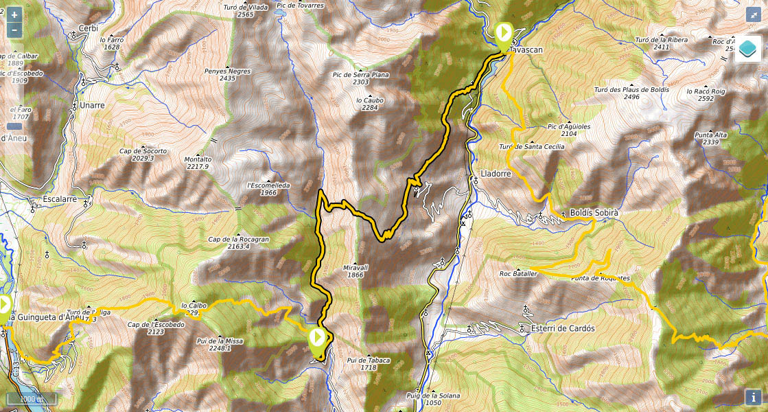
Stage 28: Estaon - Tavascán
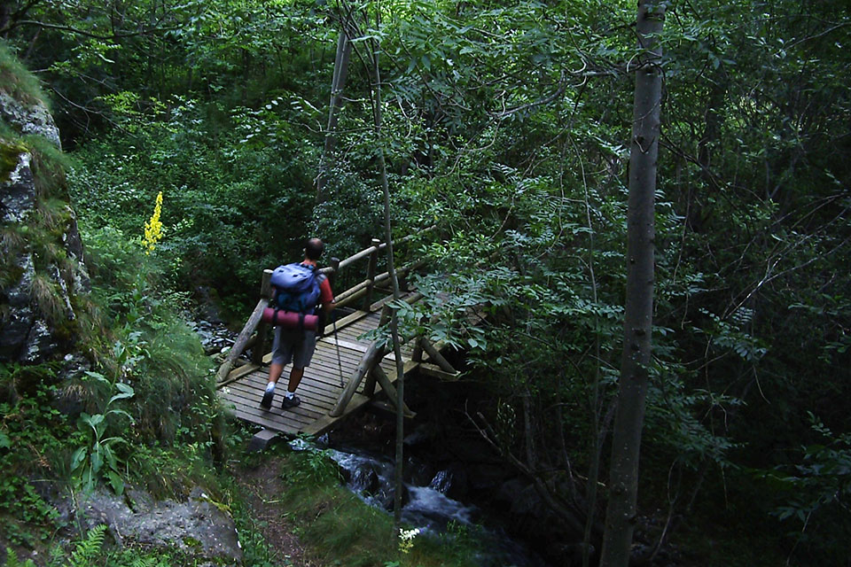
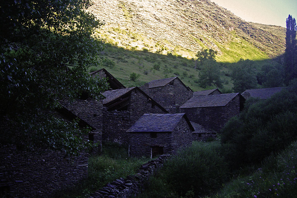
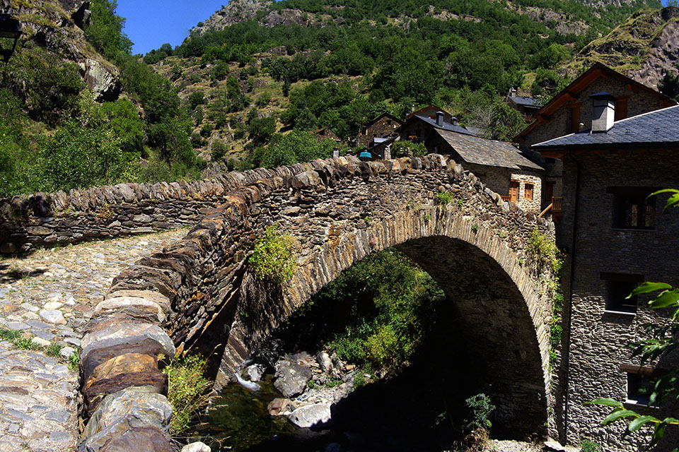
(0h0min;0km) Estaon (1530m). You set out from a street at the top of the village towards the west. The path drops down to the banks of d'Estaon river (10'), which you cross via a wooden bridge, and joins a wider path that heads up alongside the river. Follow this path for about 15mins, passing the Colatxo farm buildings on the left, as far as another wooden bridge, which you also cross. Briefly leave the track (5') and follow a path along the left bank of the river. You rejoin the track by Gori farmstead, and follow it to...
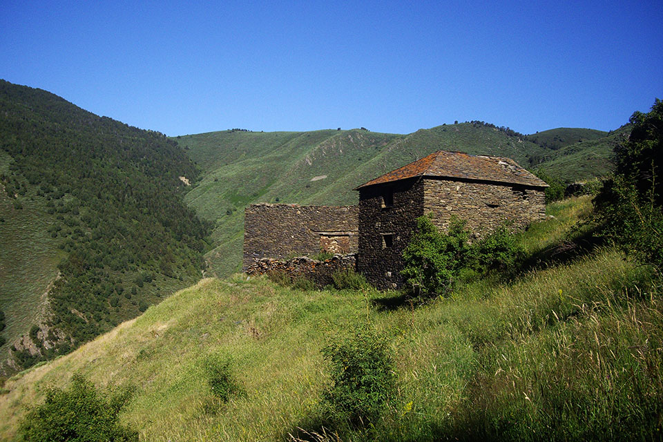
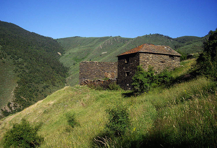
(1h05min; 3.9kms) Bordas de Nibrós (1480m). Shortly afterwards (350m), the path takes a sharp turn right and the real climb begins. At the very beginning, you pass Masover barn (drinking fountain) and 10mins later Vidal barn. You leave it on your right and keep walking up to Coll del Jou, visible to the west.
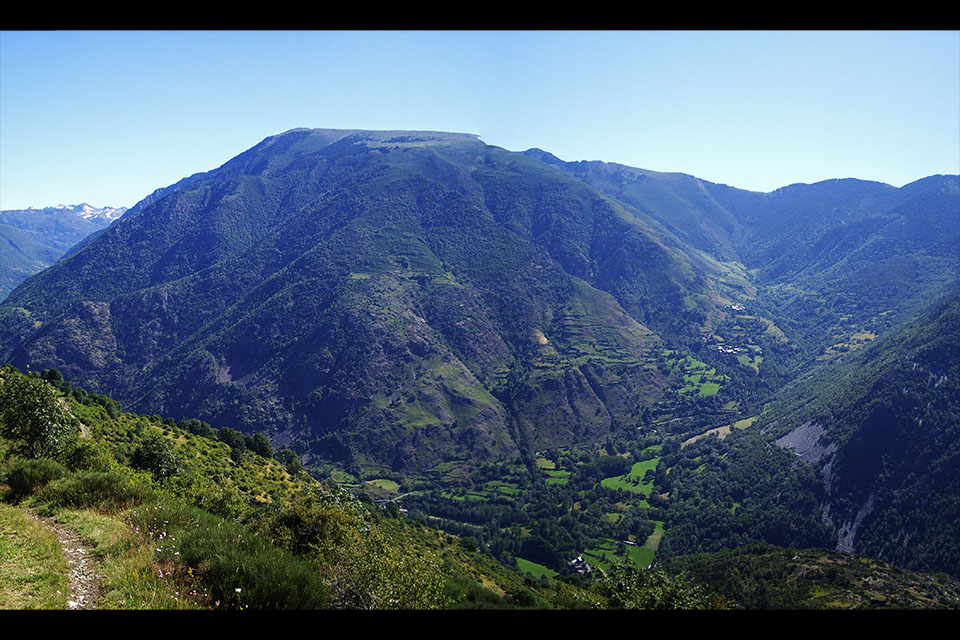
(1h45min; 5.7kms) collada del Jou (1830m). From here you can make out a good part of the next stage. The path descends relentlessly, past a drinking trough for cattle (10') and you continue your descent along a track (south east) suitable for off-road vehicles. The track improves as it widens and a few minutes before reaching Lleret you pass a drinking fountain (questionable spout).
(2h45min; 9kms) Lleret (1385m). You do not pass through it, but in the village there is a drinking fountain. You leave the track that twists and turns downhill, on the third hairpin bend on the right, and follow a path on the left along the hillside, that takes you to...
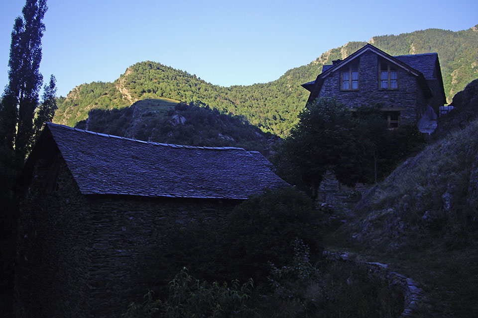
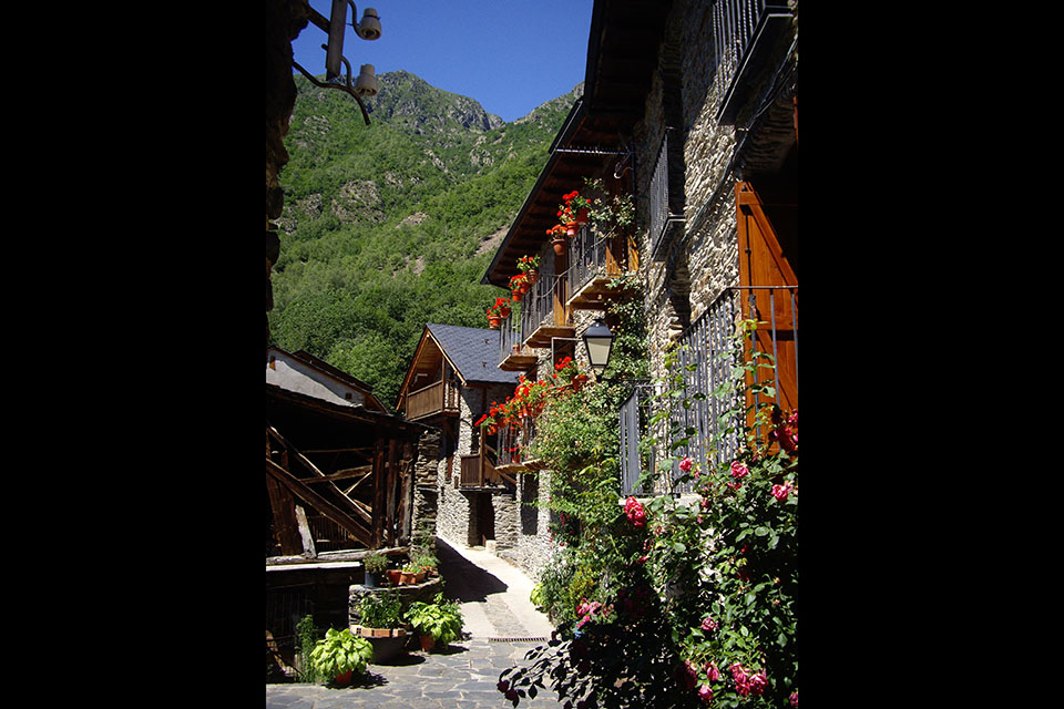
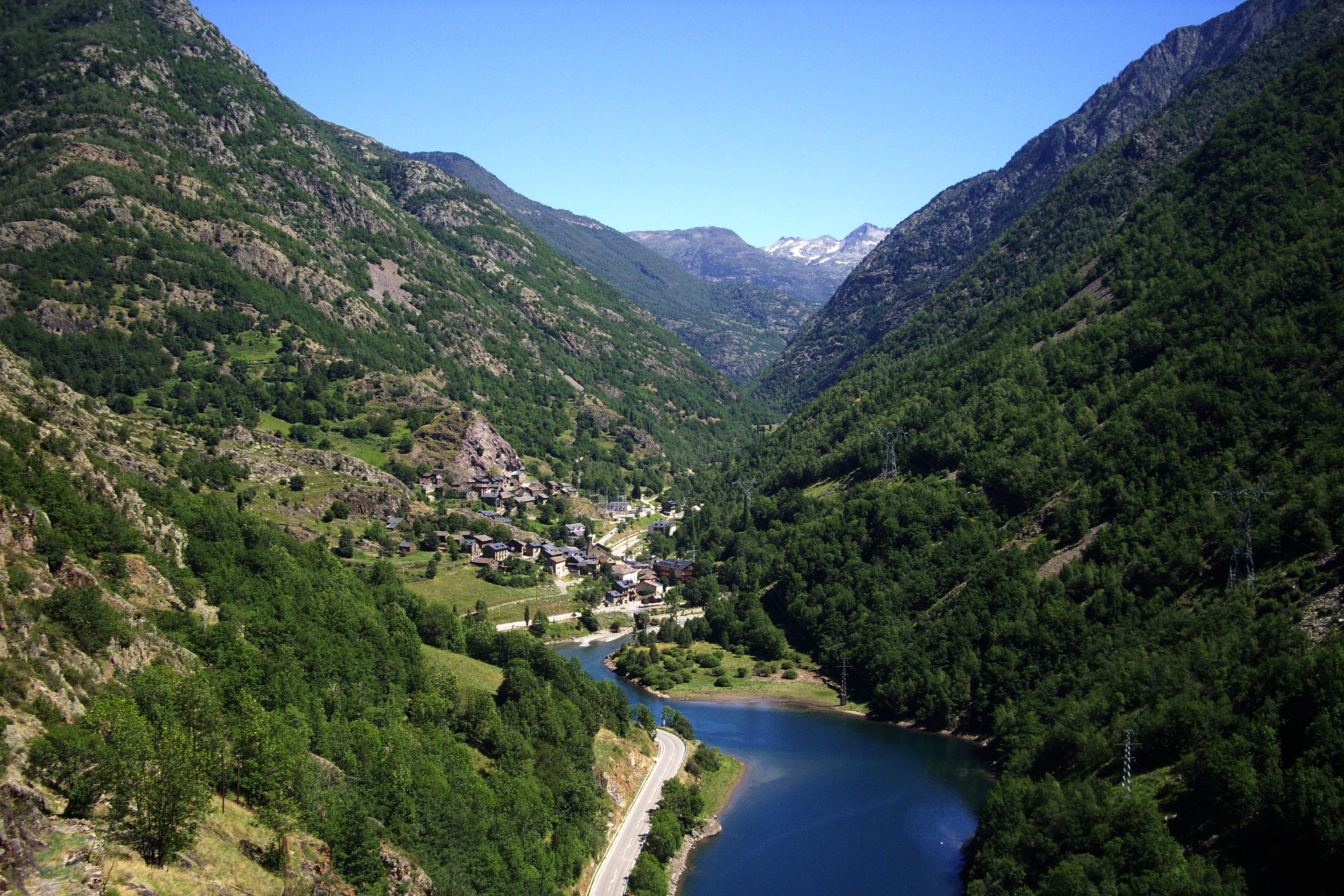
(3h35min; 11.9kms) Aineto (1215m). Drinking fountain at the entrance. The red and white markings guide you through Aineto along cobbled streets lined with enormous stone houses adorned with flowers. The GR11 follows the old Camino Real that leads you down to Tavascan.
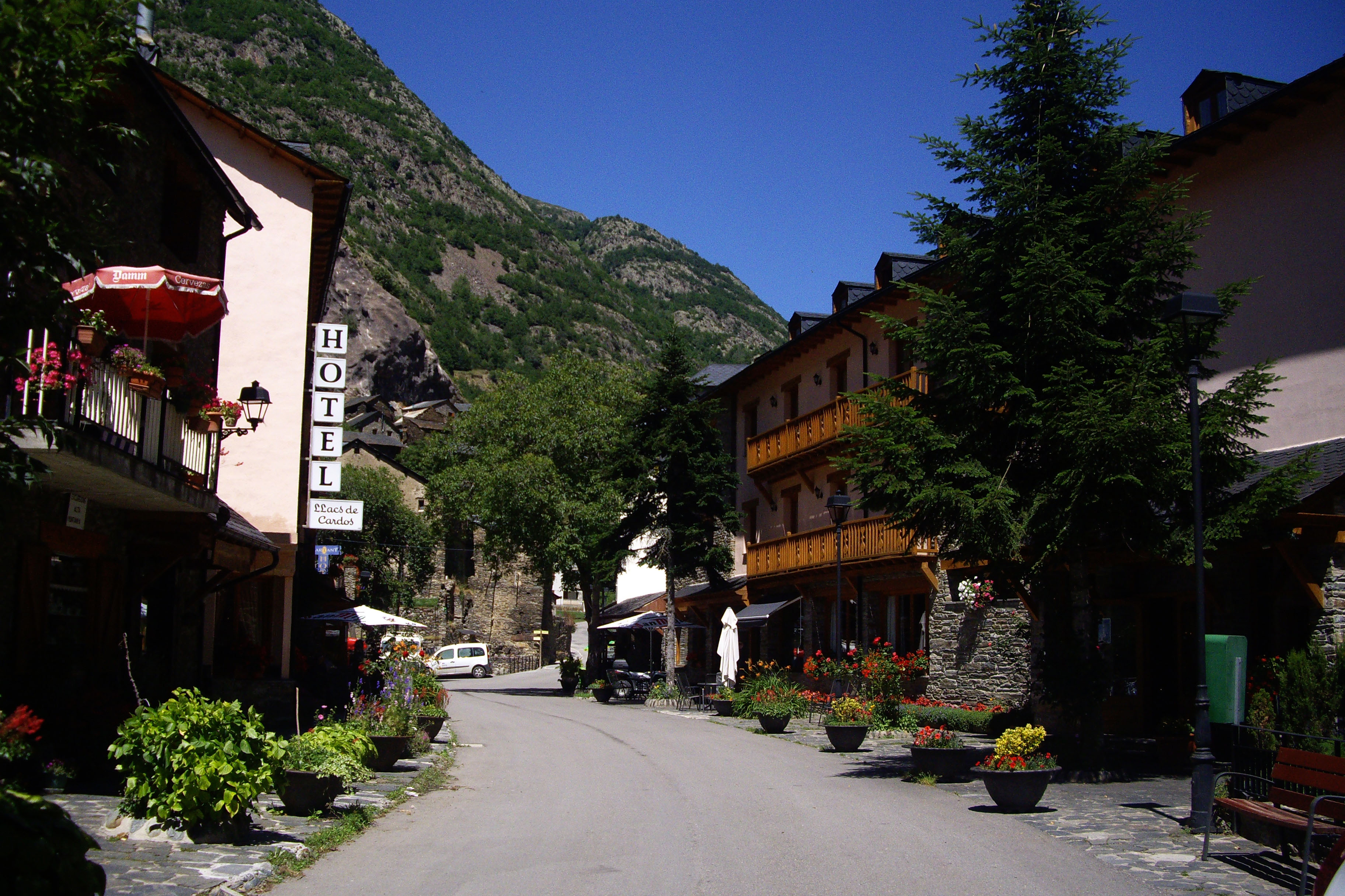
(4h00min; 13.1kms) Tavascán (1110m),
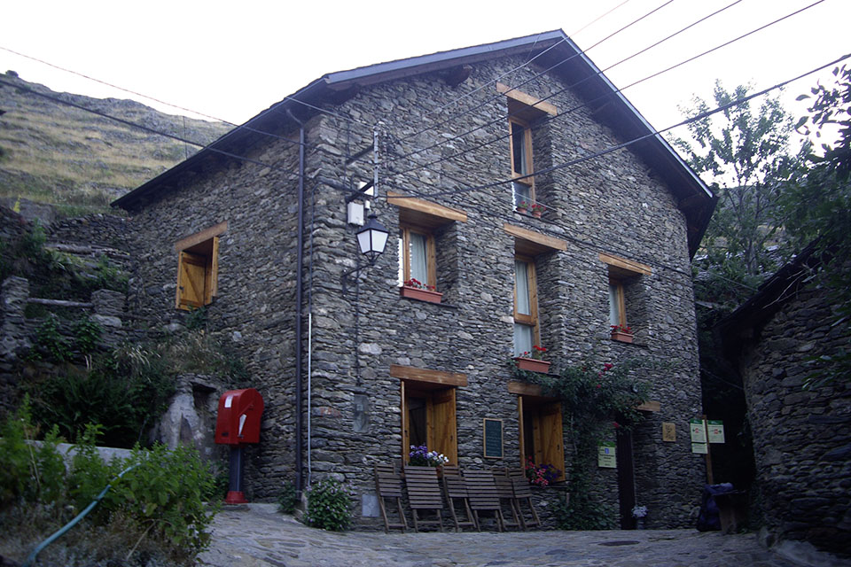
En Tavascán: Hotel Estanys Blaus, Casa Feliu, Hotel Llacs De Cardos y el Hotel Marxant.
Services:In Tavascan there is a health clinic, plenty of places for a sit-down meal, a supermarket and the odd shop where you can get maps, t-shirts, etc.
Maps:- Alpina: Alt Pirineu (Scale: 1/50.000).
Transport:You can get to Tavascan by bus from Sort and Llavorsí, with the bus company Seveis Turistics Gabriel (tel: 973 62 31 09). There is a taxi service in Tavascán (Pey: 615 59 51 56 and Emma 677 03 09 15). The Aigües Tortes Park bus passes through Llavorsí, with Alsa buses. From Sort, there are bus connections with Lleida and Barcelona (Alsa). There are also connections between Sort and La Seu d'Urgell with the taxi firm Passem el Cantó. There is a daily public service (2 trips per day). In 2013 the price per person was 4€. To reserve, call 689 495 777 or 610 952 001. You can also get the train to La Pobla de Segur (RENFE) from Lleida and Barcelona and then take the bus (Alsa).
Activities in the area:Tavascan has a municipal swimming pool. Visits are also available to the underground hydro-electric power station (tel: (+34) 656 814 557).