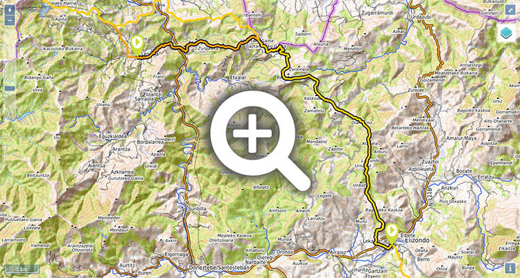
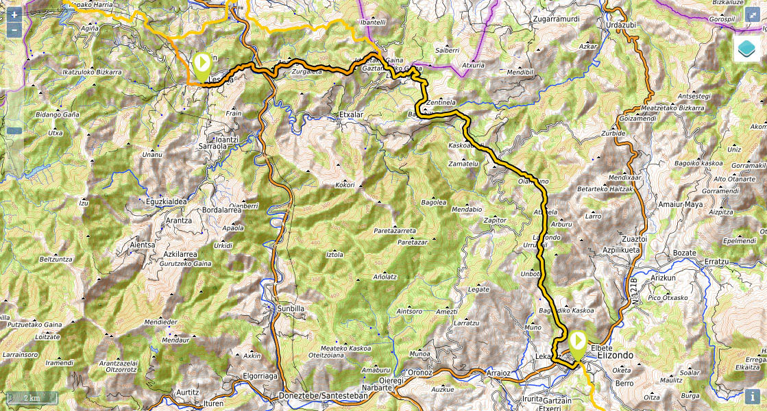
Stage 2 (GR11.3): Lesaka - Elizondo

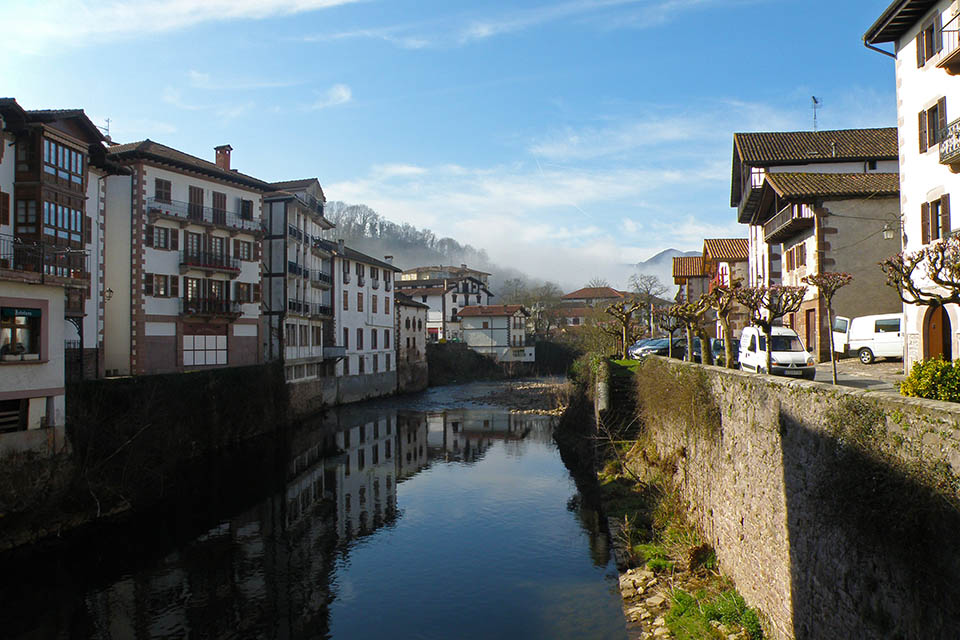
(0h0min; 0kms) Lesaka (80m). The red and white markings bring you into Lesaka along the road NA-4000 to Zaharra square, where it reaches an intersection. You take the left fork towards Irún/Pamplona passing the kiosk and the town hall on the right, as far as a small bridge over the river Onin.
This spot is well-known thanks to the dance of the Zubigainekoa, which takes place during the main festivals in honour of San Fermín. On the 7 July, the “ezpatadantzaris” dance the Zubigainekoa, while stood along the raised walls over the river, in memory of the peace treaty signed in the 15th century between the town’s different burghs. The flag is then waved over the bridge, to the sound of the Tantirumairu.
Keep right as far as the next bridge then turn left; in the distance you will see San Martín church, which you pass. Keep walking to a cross, go down the street on the left then turn right at the next two crossroads. The GR11 continues up a narrow lane which brings you out below San Martín church and leads you out of Lesaka past the cemetery area. Keep walking up the cement track until some 200m beyond the cemetery, you take a left turning that takes you down to the road NA-4000, by a sawmill. Follow the road on the right-hand side for about 300m, passing in front of Salbatore chapel, before taking a path on the right that drops down next to a stream leading into the Bidasoa.
(0h40min; 2.7kms) Bidasoa river (45m). The path comes out at the road close to the crossroads with the N-121-A road, by the hotel Berau. Cross the bridge over the river Bidasoa and walk for about 150m along the old main road towards Pamplona, until you take a path that rises to the left. You pass the Oskaritz farmhouse and soon afterwards you reach the col of the same name (25mins from the road). Continue along a wide track, which is suitable for off-road vehicles, for another 15 mins, until you reach the...
(0h40min; 2.7kms) Collado de Mizpiralepo (210m). From here the GR11 leaves the main path and climbs up to Zurgaieta (292m), from which point you continue along the top, while taking in the magnificent views, weather permitting, towards Peñas de Aia and Larún. You pass Zurgaieta col and shortly rejoin the main path, which you follow uphill. After 1 kilometre, take a left turning, towards the...
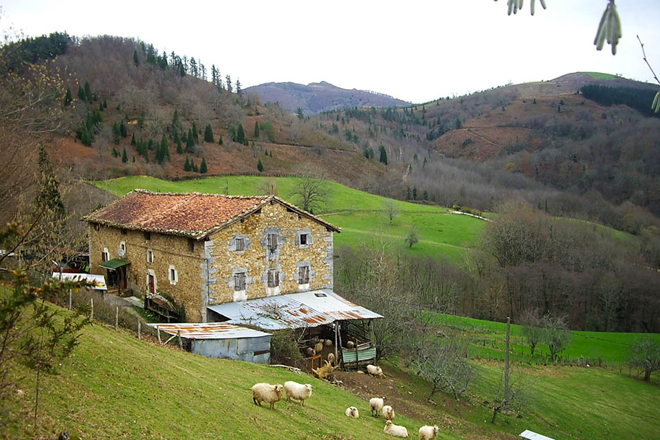
(2h00min; 8.7kms) road to the Puerto de Lizaieta (440m). The path joins the road by a hair-pin bend. Continue along the gentle rise to Xorilepo (472m) col, where the path converges with the GR11 (etapa 2) coming from Bera. You leave the track and continue walking (SE) down a path heading to "Palomeras Usotegui" a restaurant that is currently closed. Follow the path (E), passing a few farm buildings, and Lakain col (429m) and keep on skirting the hill until you reach a wide path (1km after Lakain col) below Navarlatsa col (boundary stone 50), where in 2014 a number of markings had disappeared due to tree felling. Follow the wide path downhill, taking care to follow a path that veers to the right, after about 100m. Cross over Argarate stream and you will reach Maritonea farmstead (a cluster of farmhouses with a large shed for livestock), where you will find a couple of drinking fountains from which to fill up with water. Carry on along the track, taking a right-hand fork after 600m, and after another 150m leave the track (left) in Orainbetasora (drinking fountain and picnic area). The GR11 rises up (S) through comfortable terrain as far as Elordi col (560m) – where it coincides with a couple of archeological paths that visit the Maiko and Zentiñela megaliths – and drops down to the left (E) to reach Iraza col (535m), where it joins a track leading to...
(4h40min; 17.8kms) Ursumiats/Urtsumiatza col (538m), crisscrossed by an old road that comes from Etxalar. The information panels indicate the archeological route you saw previously. The GR11 climbs along a track (S) that forks (left) just before reaching Gaineko Saroia col (607m). You then drop down to Also col (543m) where several paths converge, cross the col and follow the track downhill (E) for about 250m, where you turn right.
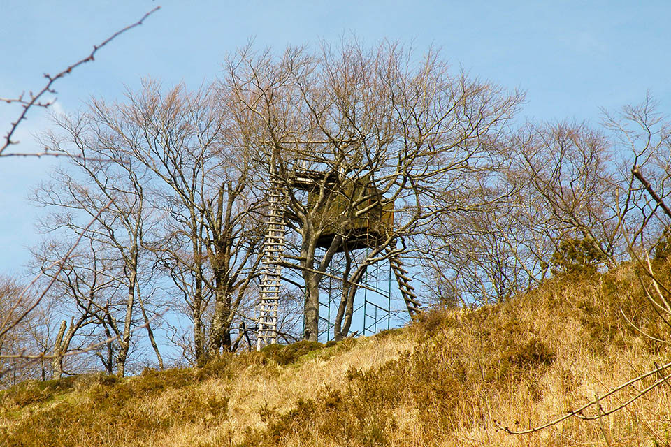
(5h25min; 20,9 kms) Esquisaroi col (525m). From now on the going gets tougher. Cross the road and walk up the "camino de Eskisaroi", turn right after 1.6kms skirting around Atxuela hill along the west face until, some 800m later, you join another path that skirts around Arburu (827m). All along this section of the walk from Esquisaroi col you can make out several bunkers that were erected following the Second World War.
(6h10min; 23.9 kms) Atxuela col (785m). A number of paths reach this point. Take the main one (S) as far as Iñaberri col (795m), between Larrondo (852m) and Urruspil (819m), 25 minutes from Atxuela col. From this point onwards the path descends and at the Maistruzarra farmhouse you will find a drinking fountain.
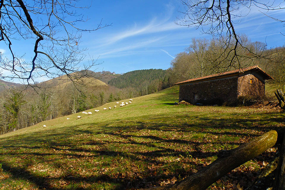
(7h20min; 27.5 kms) Bagordi (585m). This is a large open space with picnic tables and a drinking fountain. There is a road up to this point coming from Elbete. The GR11 heads downhill, crossing the road a couple of times.
(8h15min; 31.2 kms) Elizondo (190m).
In Lesaka there is a choice of hotels. Among others: Hostal Ekaitza, Eltzeta Txokoa, Larraenea Bed and Breakfast, Bittiria, Matxinbeltzenea u Hotel Atxaspi.
In Elizondo we recommend Albergue Kortarixar (Tel: +34 626 53 24 52; info@kortarixar.es). Breakfast and half board available.
Where to eat:In Lesaka, in the Town Hall square, we recommend Restaurante Kasino Jatetxea (/) (home-made food, the house speciality is Spanish omelette). Breakfast, lunch and dinner are all served at the Albergue Matxinbeltzenea (/) and cooking facilities are available for groups of over 12 people.
In Elizondo, situated very close to the centre, on the main road (Calle de Santiago, 43), Eguzkialde Ostatua (//) prepares home-made food, a daily menu, baguette sandwiches, and individual dishes among other things, all for a reasonable price.
Servicios:In Lesaka and Elizondo you will find all kinds of amenities such as supermarkets, sports shops, etc.
Maps:
- SUA edizioak:
Bidasoa Bertiz
(Scale: 1/25,000) and
Valle de Baztan
(Scale: 1/25,000).
- Rando éditions:
Pays basque Ouest
(Scale: 1/50,000)
To get to Lesaka (connections with Pamplona, Irún and San Sebastian by bus), bus companies La Baztanesa (/) and La Burundesa (/).
To get to Elizondo use La Baztanesa (/) bus company.