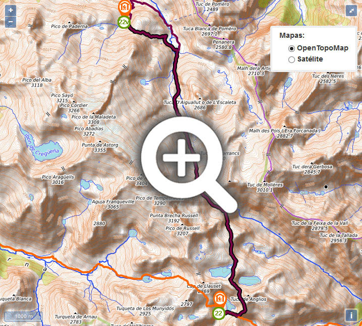
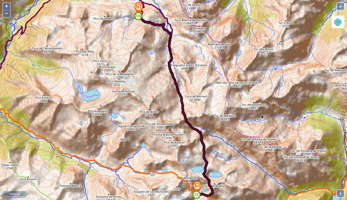
Stage 22v (GR11.5): Refugio de la Renclusa - Refugio de Cap de Llauset

(0h00min; 0kms) Refugio de la Renclusa (2,140m). Beyond the drinking fountain you come to a GR11.5 signpost that indicates left, where you leave the route that climbs up to Aneto.
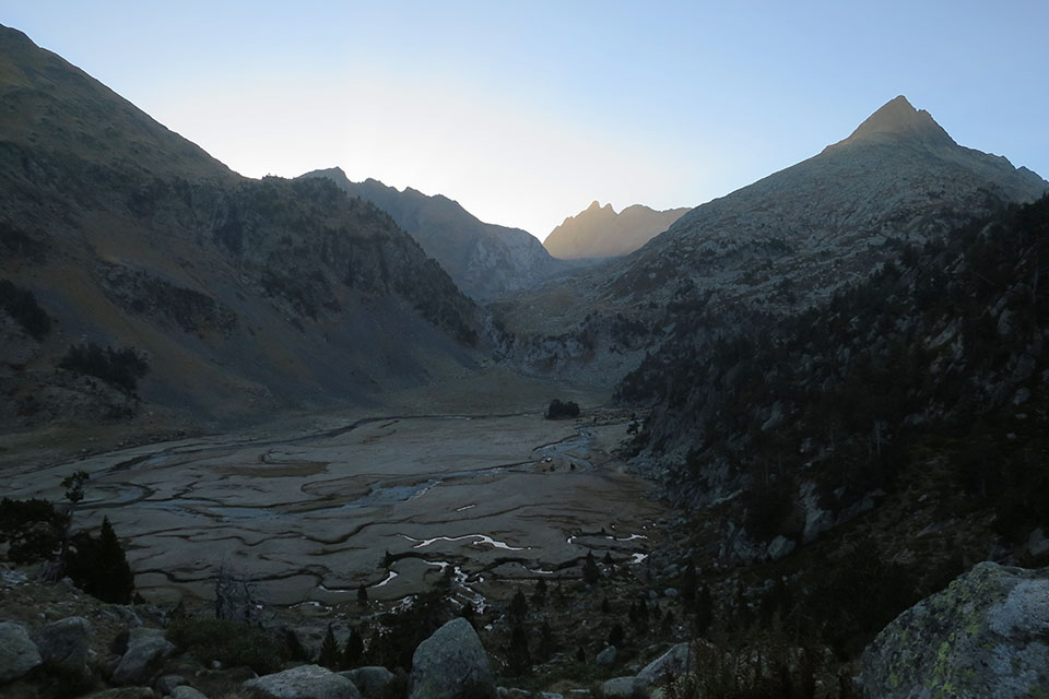
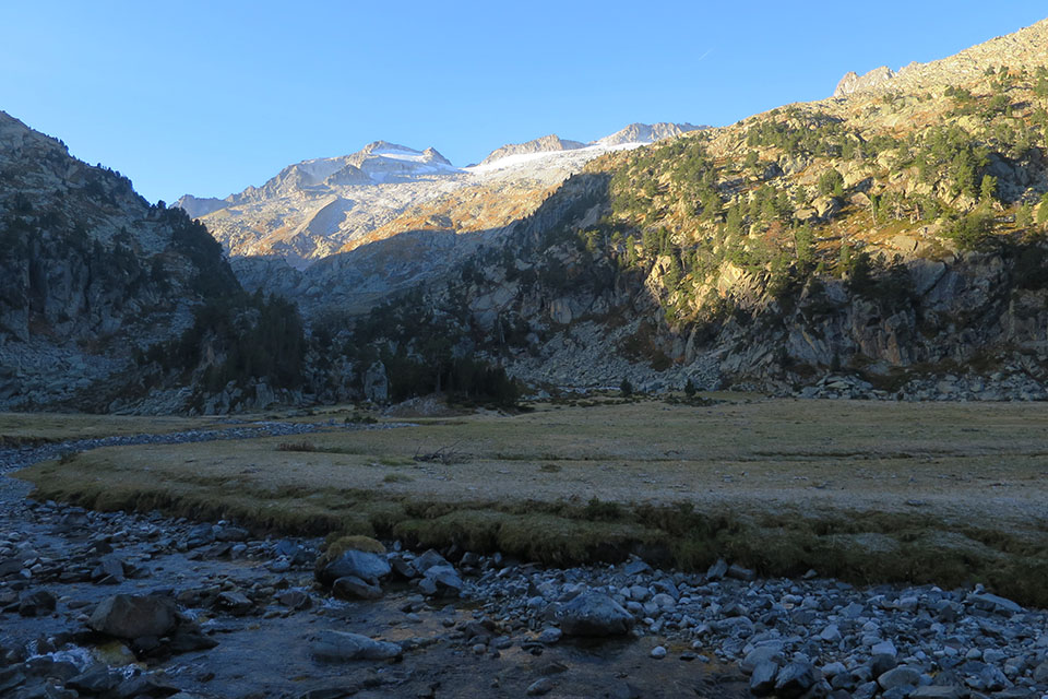
(0h20min; 0.6kms) Collado de la Renclusa (2,282m). The path heads down to Plan d'Aiguallut, crisscrossed by numerous streams running down from the right flank of the valleys of Barrancs and l'Escaleta. Once you reach the bottom, if you do not already know it, we recommend a detour to the Forau d'Aiguallut and the waterfall. To get there, you can take a shortcut across the river, or otherwise, follow the GR11 to the end of Plan, where there is a series of foot bridges.
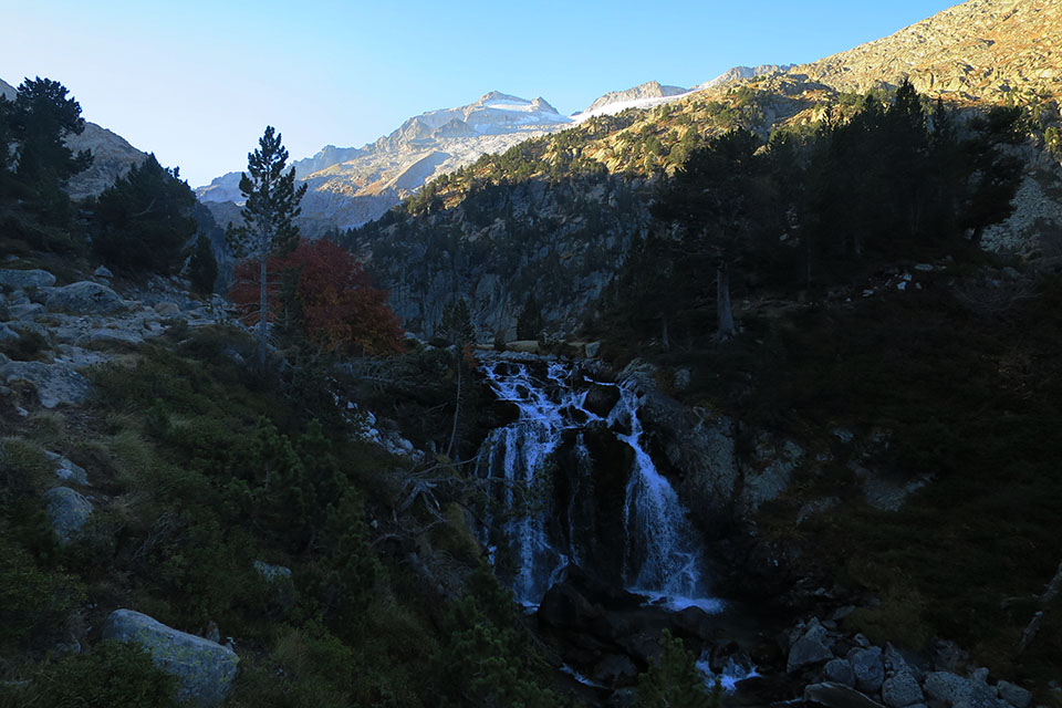
The Forau d'Aigualluts is a Karstic drain hole into which waters from the river Ésera filter, which in turn have sprung from the glaciers on Aneto and Maladeta. The waters reappear 3.6 kilometres away, but incredibly not in this valley but in the valley of Arán, on the Atlantic side, meaning these are the only waters in Aragón that do not run into the Mediterranean. Learn more.
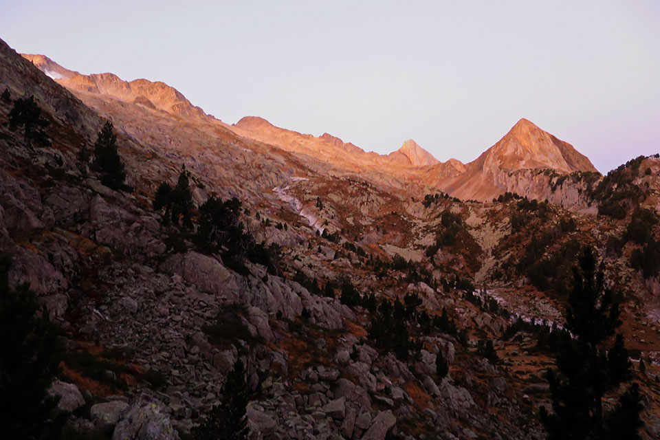
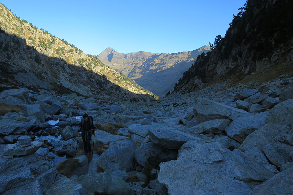
(0h55min; 2.3kms) End of Plan d'Aiguallut (2,036m). A signpost signals the crossing that, to the left, leads you back to Forau d'Aiguallut and La Besurta, and uphill (south), to the Collado de Salenques and Cap de Llauset auberge. Climb southwards up the valley of Barrancs. The terrain starts to become awkward due to the presence of boulders. On the first stretch of the climb you walk alongside a stream.
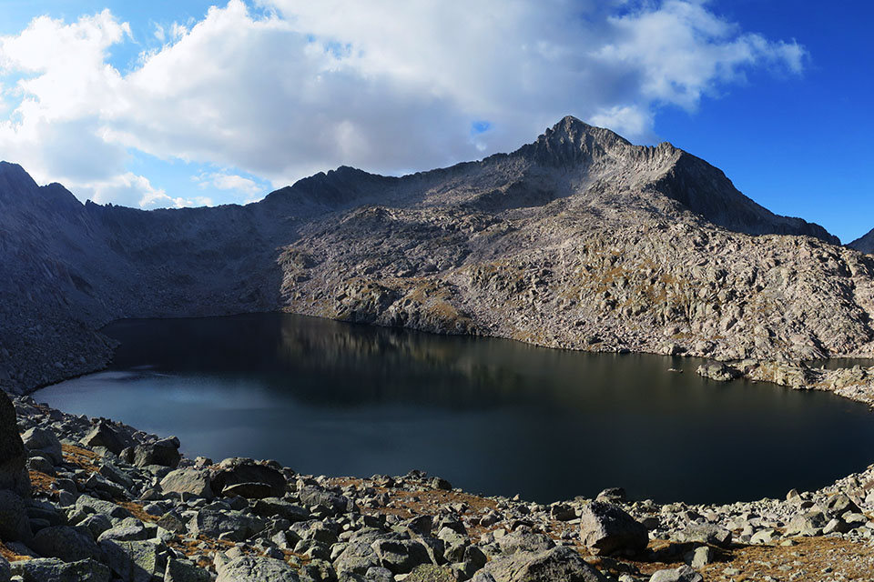
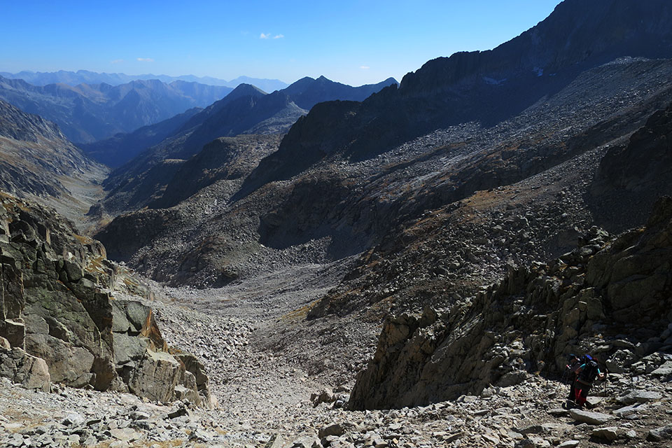
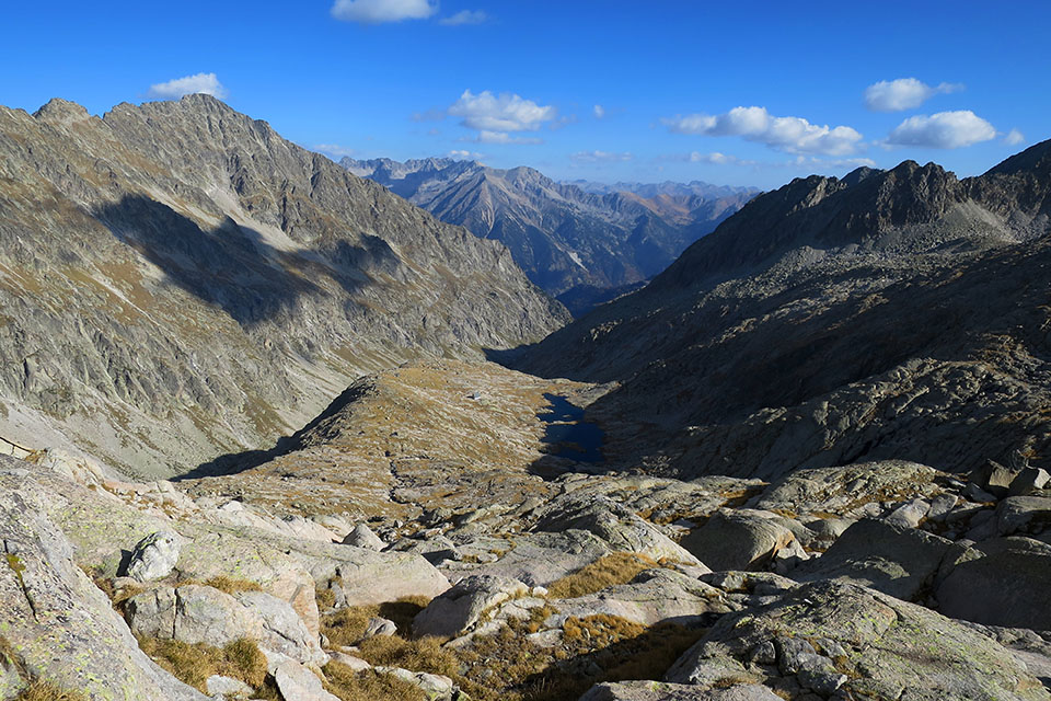
(2h15min; 4.8kms) Colladeta de Barrancs (2,481m). To the left of the pass lies Turonet de Barrancs (2,508m) and hidden behind it, the Barrancs lake. In the distance you can make out Salenques pass, where the renowned Salenques ridge commences on the right.
The rock-climbing route from the Cresta de Salenques to the Pico de Margalida (3,239m), and its continuation on to the Pico Tempestades (3,278m) and Aneto (3,404m), is undoubtedly the best-known classic ridge climb in the whole of the Pyrenees. Its difficulty is not excessive D(IV+), but the length of the route (2.5kms of continuous difficulties coupled with 750m of elevation gain) make it a supreme challenge for any pyreneist.
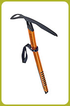
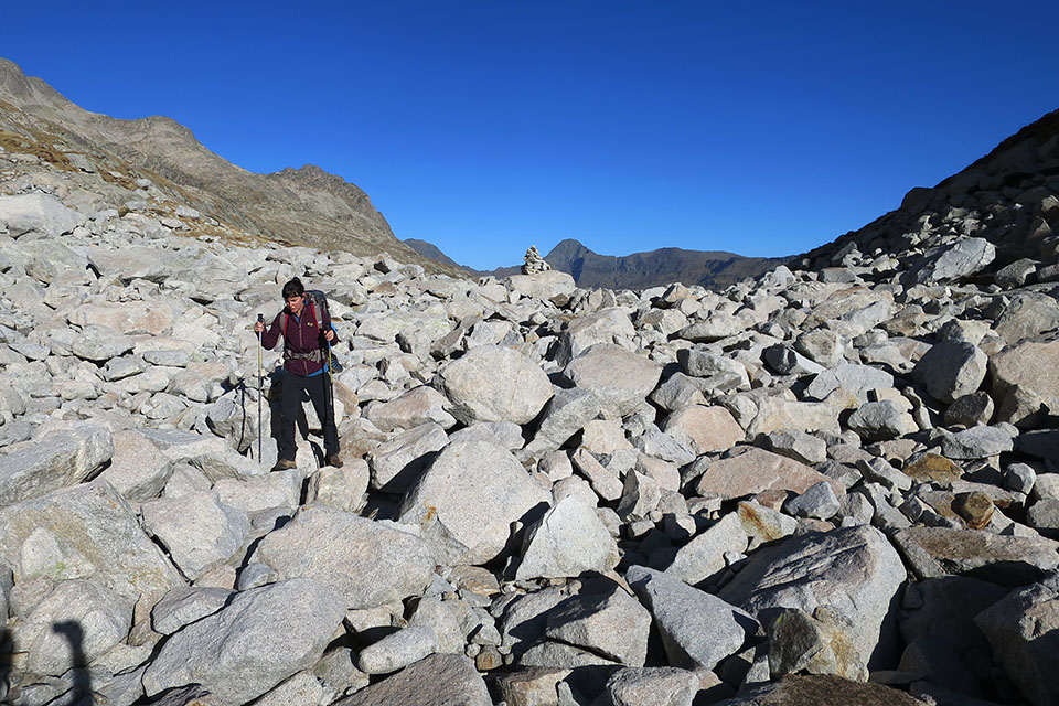
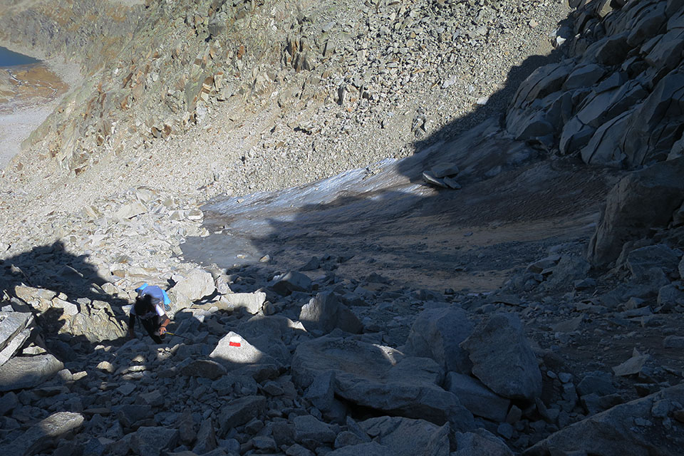
The GR11.5 heads onwards, following the cairns among the chaos of boulders. Shortly after the pass, you walk past a stream. Further up, with a little luck, you will be able to catch water coming from a subterranean current you can hear running among the boulders, at around an altitude of 2,650m. Over the last section of the climb to the pass you will encounter a snowfield that persists pretty much all year round (although this was not the case in October 2017). To get past it will require the use of suitable equipment such as an ice axe and crampons. Depending on the conditions and your own experience, it can be avoided by climbing the rocks to the right.
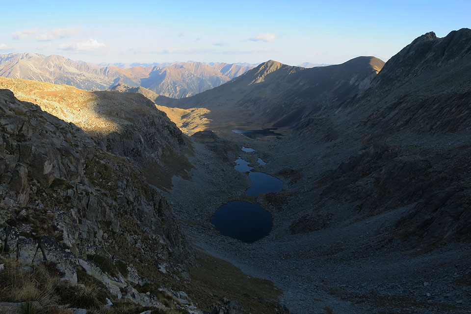
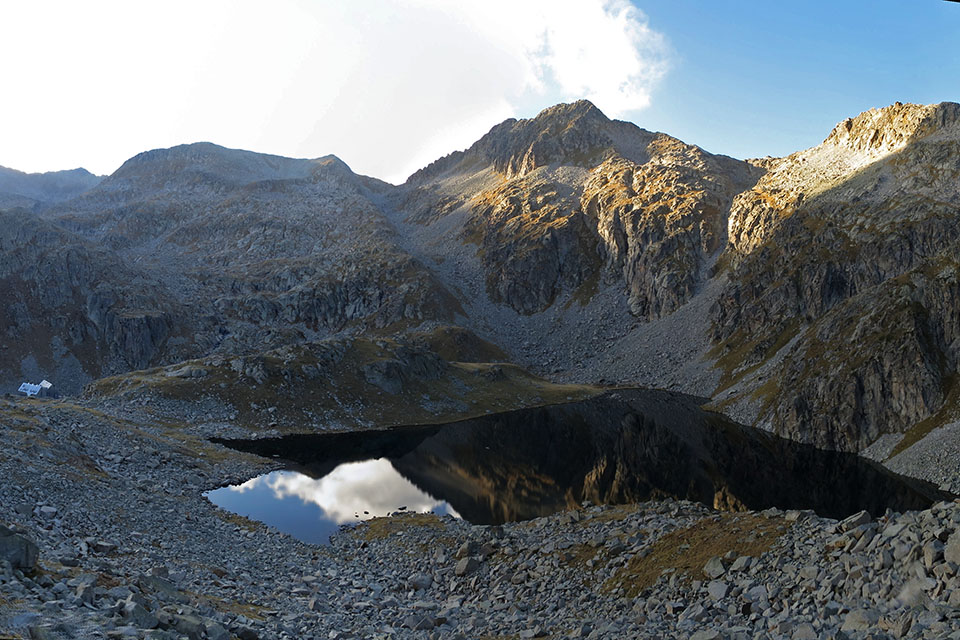
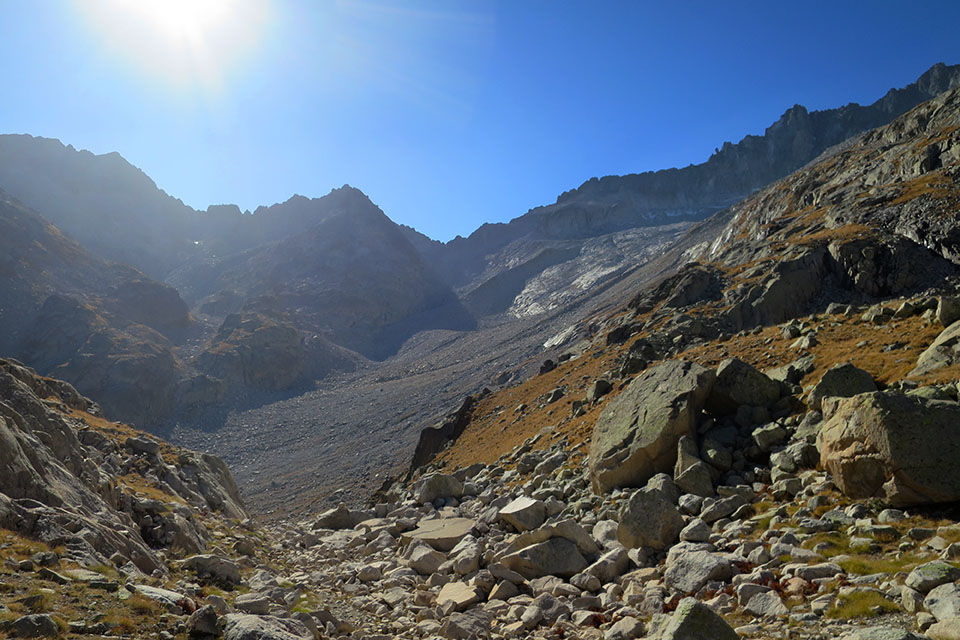
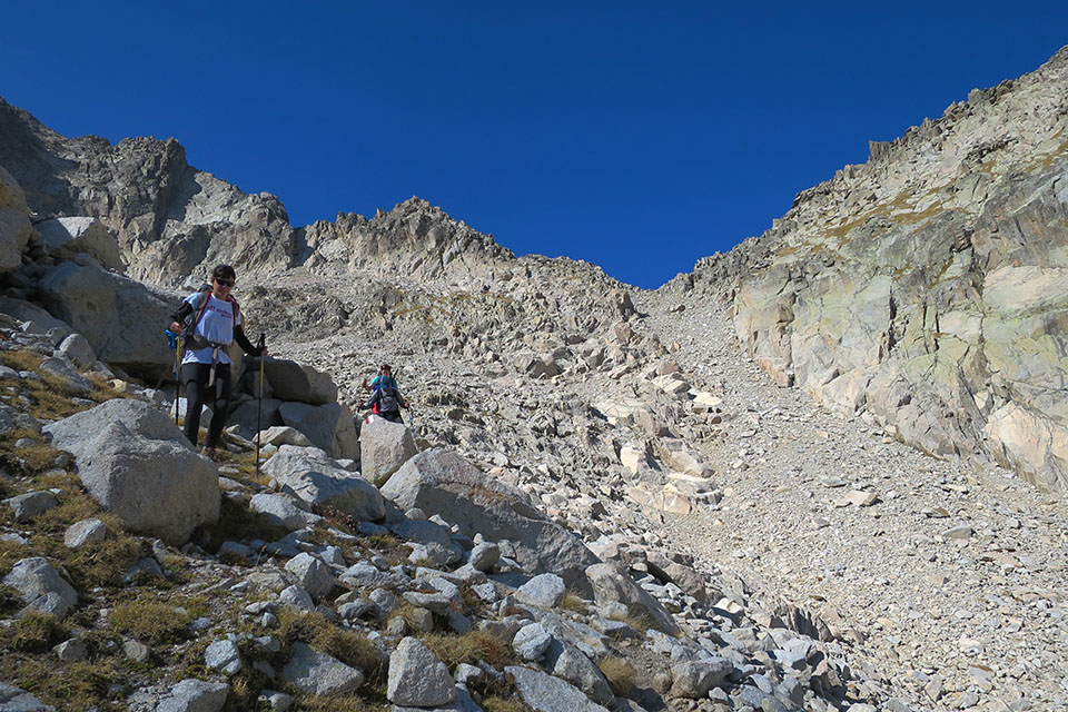
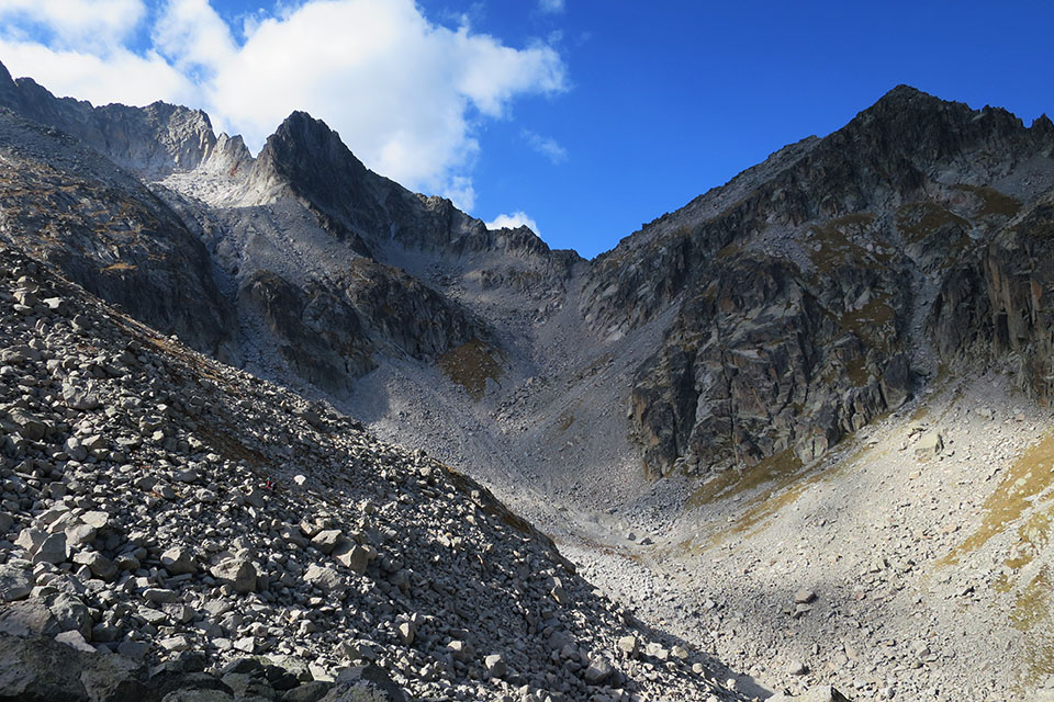
(4h05min; 6.3kms) Collado de Salenques/Ixalenques (2,809m). The views are formidable. The GR11.5 descends slightly to the right – past scree – down a steep slope towards the valley of Salenques. The descent ends at about 2,560m. It then continues along the right flank, skirting the ridge that comes down from Punta Russell Oriental (3,051m). You have the opportunity to get water from a stream shortly after getting round the spur. The terrain continues to be tricky as you make your way to the...
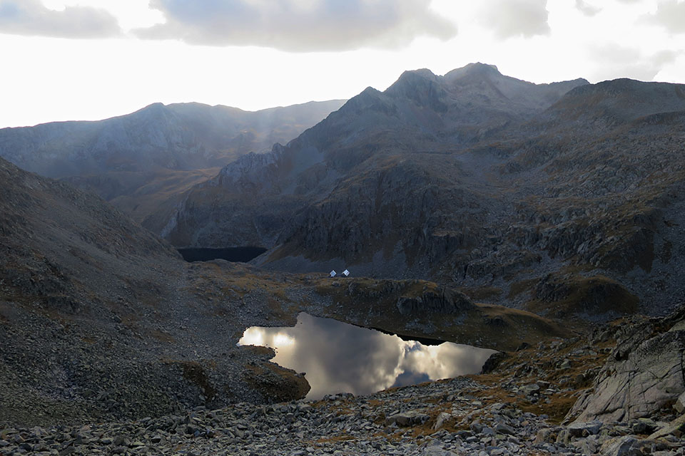
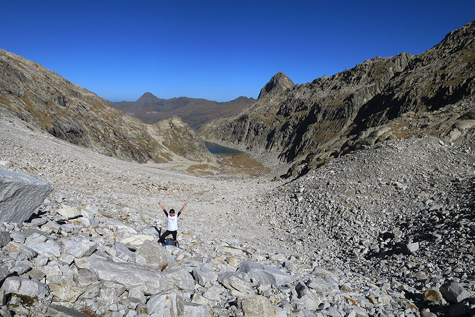
(6h00min; 8.9kms) Estany de Cap de la Vall (2,660m). Walk round the left shore of the lake and reach a small col (2,702m). To your right is the Estany de Cap de la Vall, while to the left – much further down – lies the Estany Negre. The GR11.5 heads left (SE) without losing height, as far as another col (2,676m), to the west of Tuca de Anglios (2,813m). From this pass you can make out the auberge at Cap de Llauset. Rather than walking straight down, you cross the hillside (SE) of Tuca de Anglios, until you follow the buttress that brings you down to the...
(7h10min; 10.8kms) Collado dels Estanyets (2,524m). At this point, the variant GR11.5 that you have been following, joins the main route. To the left the route continues past the Estanys de Anglios towards the auberge at Conangles, and to the right you are about to finish your stage at the nearby...
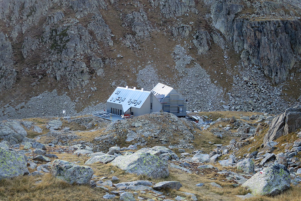
(7h30min; 11.3kms) Refugio de Cap de Llauset (2,425m).
At the beginning of the stage, Refugio de la Renclusa (/).
At the end of the stage, Refugio de Cap de Llauset (/).
Maps:
Alpina:
Parque Natural Posets Maladeta
(Scale: 1/25,000)
Valle de Benasque. Aneto, Maladeta, Posets, Perdiguero
(Scale: 1/40,000)
Aneto-Maladeta
(Scale: 1/25,000)
Vall de Barravés Ribagorça
(Scale: 1/25,000)
Prames:
Aneto-Maladeta
(Scale: 1/25,000)
SUA:
Maladeta-Aneto


Cordier (3.263m), Sayó (3.211m), Mir (3.185m), Pico de Alba (3.118m), Tuca Blanca (2.847m) y Pico de Paderna (2.622m)
Plan d'Aiguallut bajo el Pic d'Aiguallut (2.692m). Al fondo la Forcanada (2.883m).
En el valle de Barrancs. Al fondo el Pico de la Mina (2.708m).
Bloques subiendo a la colladeta de Barrancs.
Collado de Salenques/Ixalenques. A la derecha, la cresta de Salenques.
Subiendo al collado de Salenques. Abajo el ibón de Barrancs.
Tramo final al collado de Salenques.
Valle de Salenques. Al fondo el P.N de Aigüestortes y San Maurici.
Bajando del collado de Salenques.
Valle de Salenques y Estanys de Ixalenques.