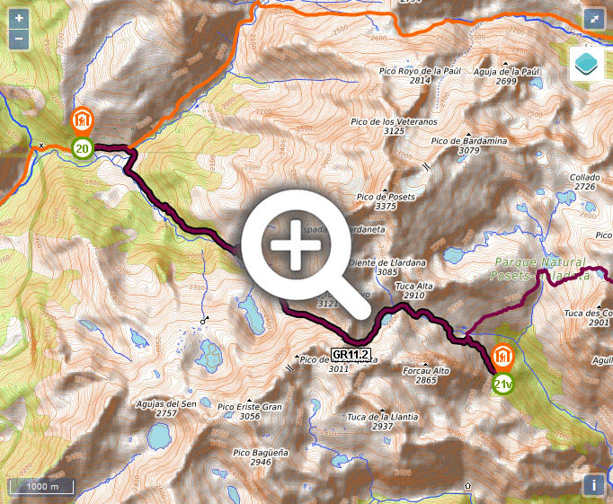
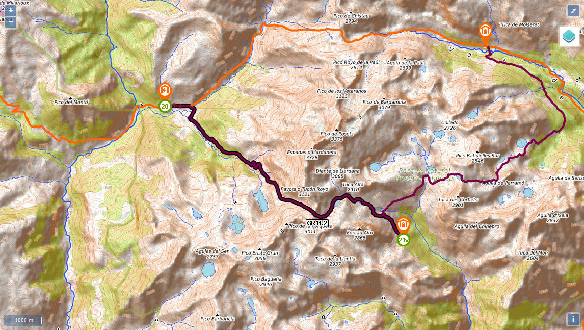
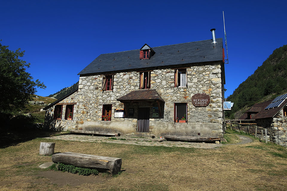
Stage 20v (GR11.2): Refugio de Biadós - Refugio Ángel Orús

At the start of the stage you will find no shortage of information panels displaying all the different routes on offer in the area. The whole of this stage forms part of the Vuelta al Posets or Ruta de los 3 refugios and for the first two hours coincides with a popular walk (S11) to the lakes at Millás and Lenés.
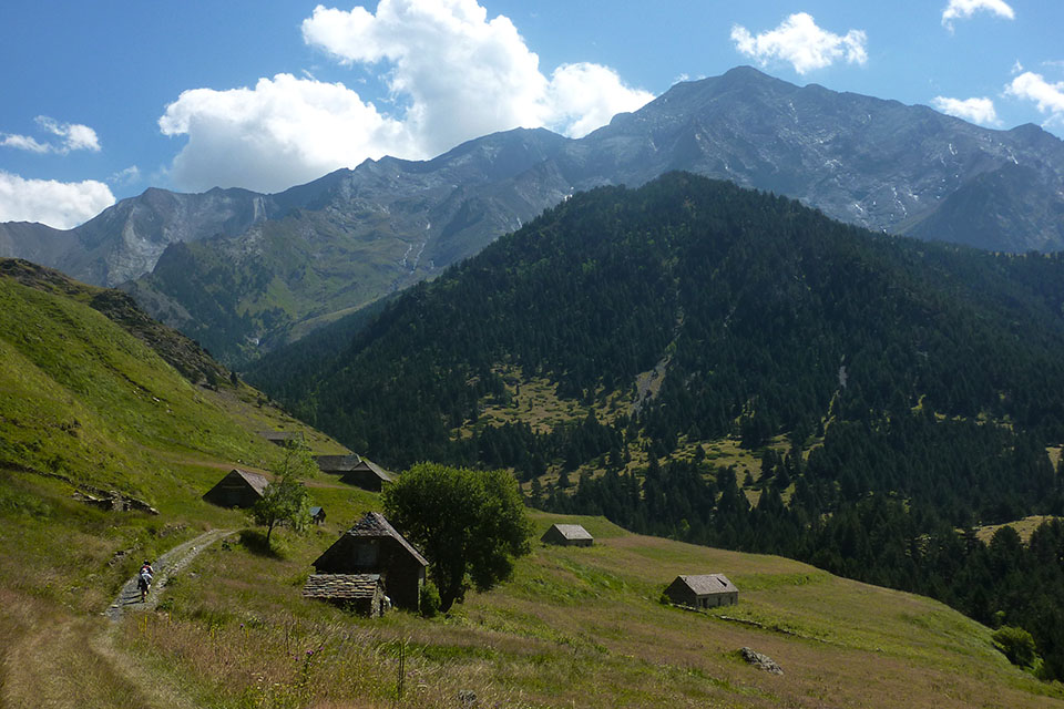
(0h0min;0km) Refugio de Biadós/Viadós (1,740m). Below the auberge there is a small outbuilding where you can getwater. The GR11 drops down to a small car park where the track coming from San Juan de Plan ends, it crosses a bridge and continues past the Biados farms, once used as grain stores and stables. By the last one (0.7km), the path takes a hairpin bend to the left and at that point the GR11 forks. Ahead, the main route to Estós auberge and San Juan bridge, and to the right, the variant GR11.2.
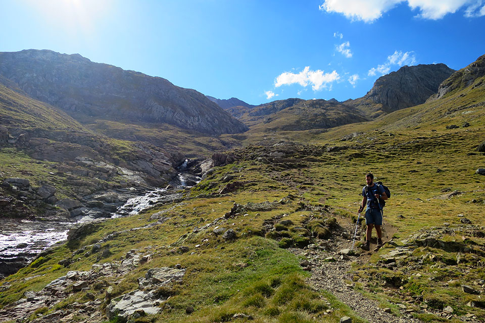
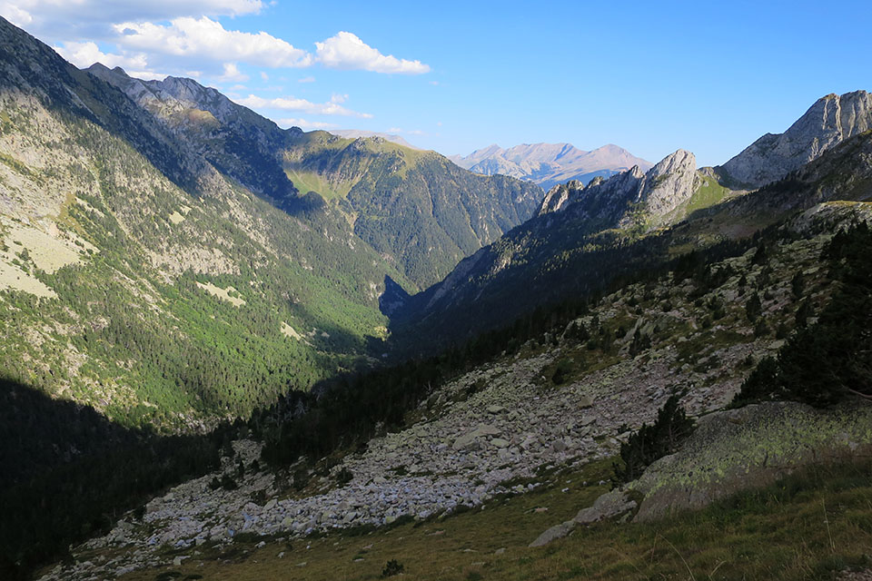
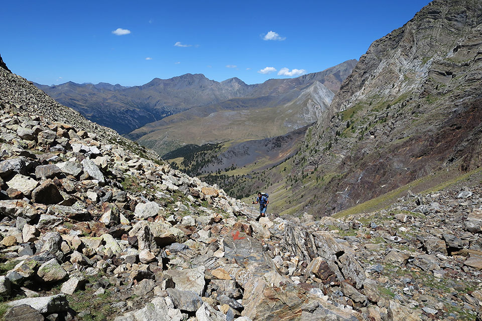
The path heads down to a wooden bridge over the Cinqueta d'Añes Cruces and rises up to a path that you promptly leave, to take a path to the left in a southwesterly direction, across an area of fields used by livestock for grazing. The route heads into the Ribereta ravine, covered with pine forest, rising up the left bank. 50 minutes after starting out you pass a river with iron-rich waters where you can fill up with water. The path climbs relentlessly, you pass a pond, and you get a glimpse of the ravine as you head out of the forest. A short descent brings you to the Canal de las Tuertas, a spot where the waters from two ravines converge. You cross the one coming from the left and zigzag through pine forest on your way uphill, until you reach an area of fields which you cross to the right (SE). You pass a stream carrying abundant water and come to the...
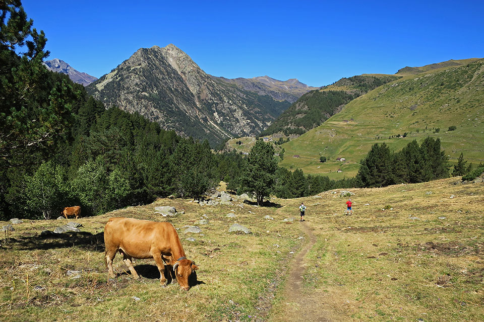
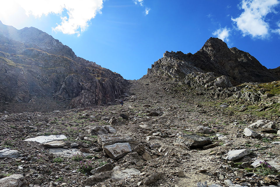
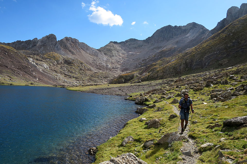
(1h40min; 4.9kms) crossing at Millas and Lenés lakes (2,275m). You leave behind the waymarked path to the lakes and head up to the left (E) along a very steep incline. Although there will be other opportunities to get water, the stream on your right is your last realistic chance of filling your water bottle. You gain altitude passing boulders on the way up to a kind of col that gives access to a valley further up. New vistas come into view: to the left, Pico de Pavots or Tucón Royo (3,124m), ahead, the valley the route follows to Eriste pass, Forqueta or Grist (2,860m), and to the right a long array of forgotten three-thousand-metre peaks, Forqueta (3,011m), Millares (2,938m), Eriste Norte (3,031m) and Gran Eriste (3,056m). A tough climb lies in wait ahead of you, past loose rocks, boulders and the odd snowfield, depending on the time of year, up to the...
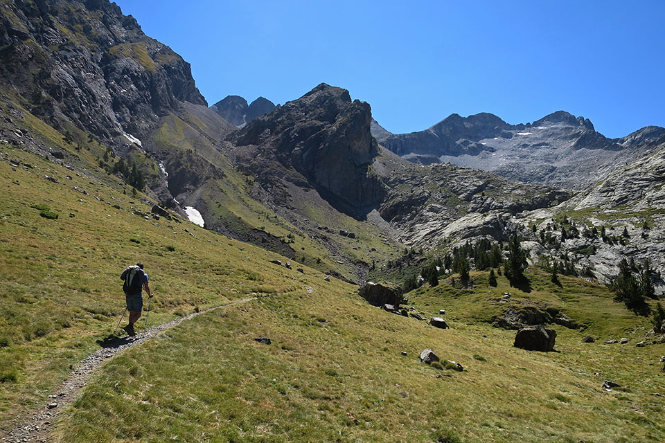
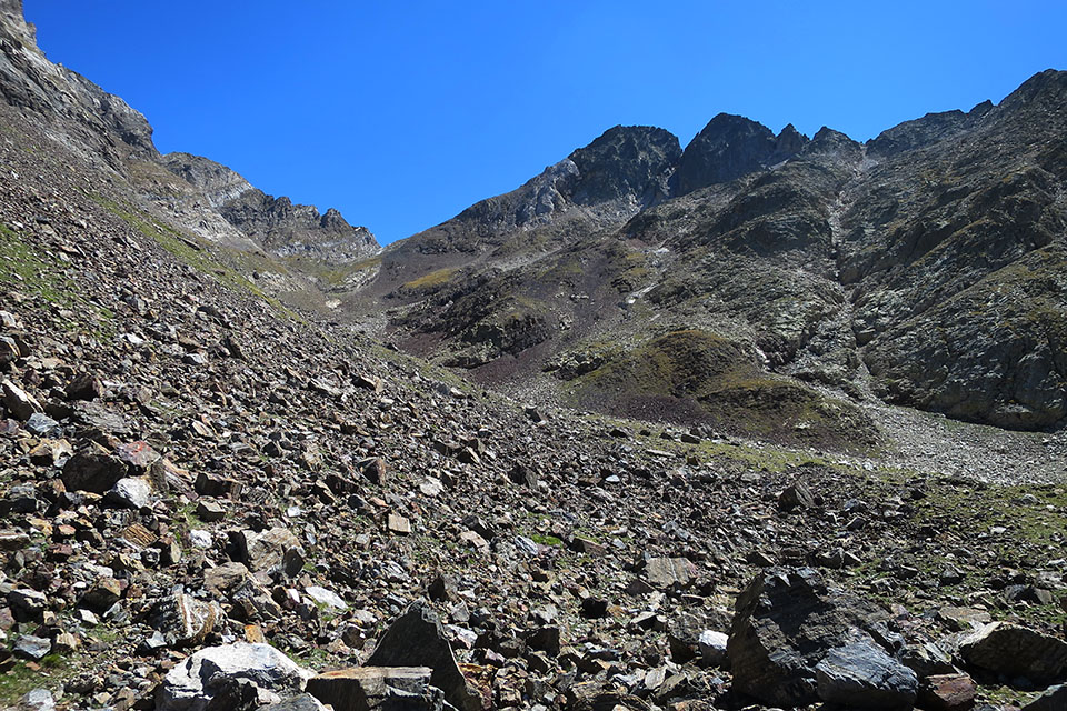
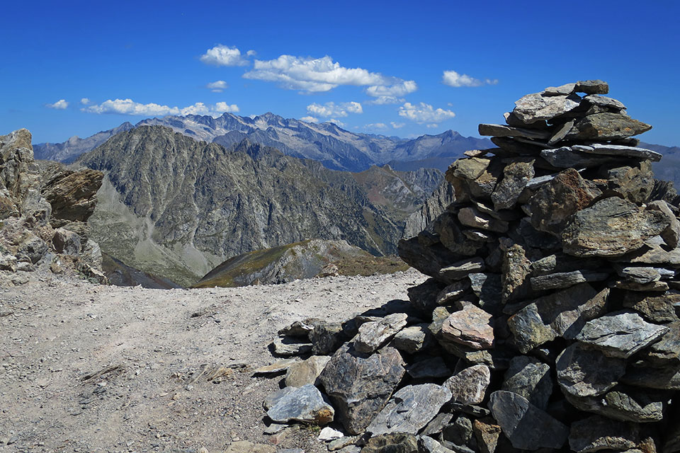
(3h00min; 6.7kms) Collado de Eriste or de la Forqueta (2,860), crowned by a number of huge cairns. To the left, the famous ridge of Espadas-Posets which is usually walked by starting further down, thus avoiding the major difficulties in getting to Diente Royo. To the right, if you have the time (1h up and down) and the inclination, the clamber up to Forqueta (3,011m) is an easy and pleasant experience. The descent to the lake is steep, over loose rocks.
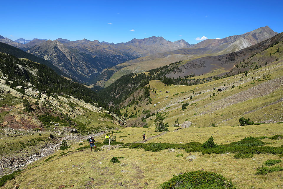
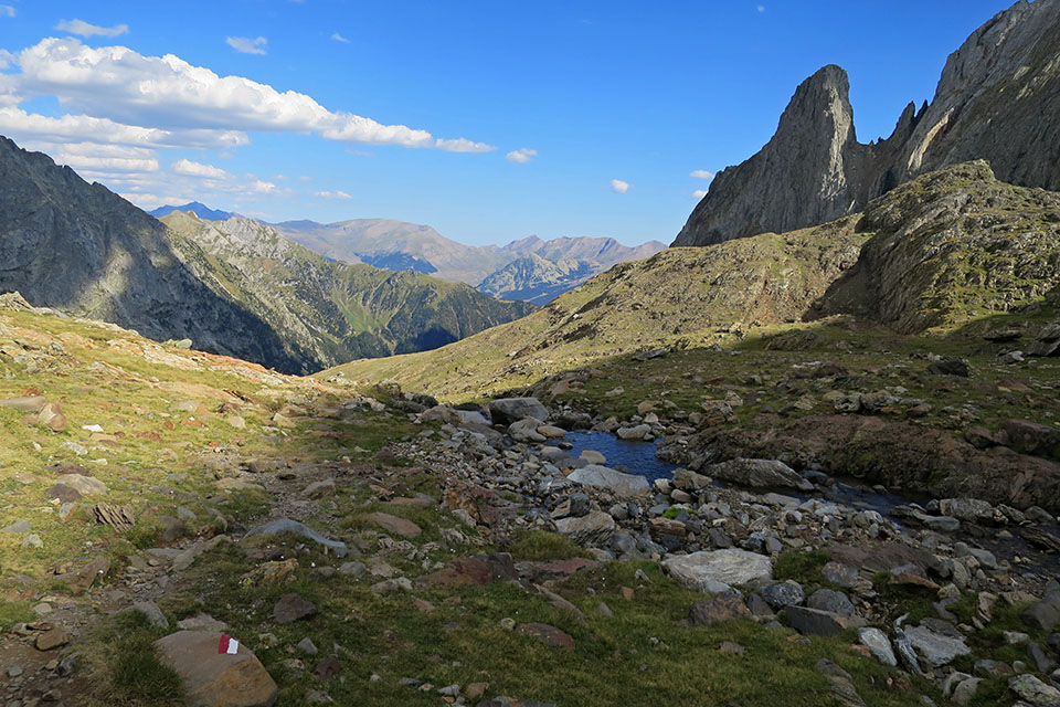
(3h20min; 7.4kms) Ibón de Llardaneta (2,690m). You walk round it on the left. After passing the lake and before starting the descent down Llardaneta valley, you can get water from a stream coming from the left. After 15 minutes you pass the crossing with the main climb to Posets via the Canal Fonda, then after 12mins, by a broken bridge, you cross the stream that has accompanied you from the lake and shortly afterwards (another 12mins) you reach the...
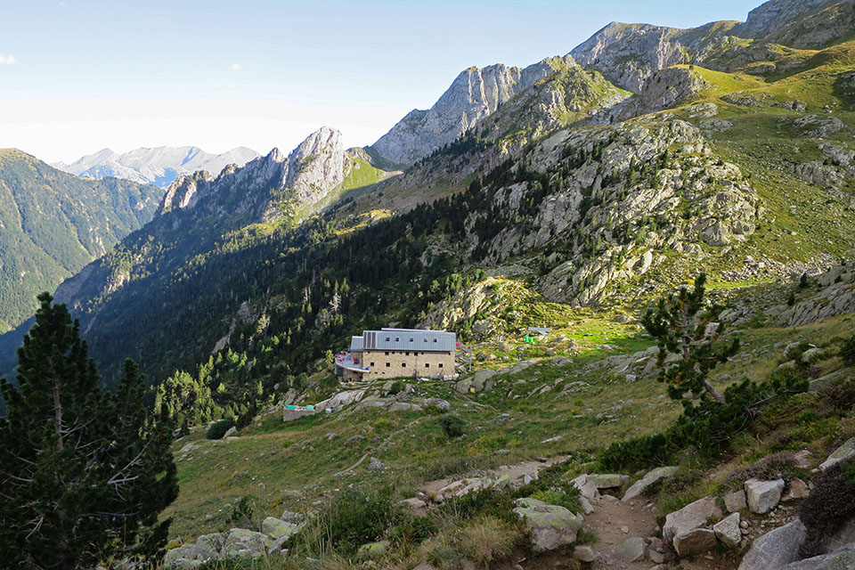
(4h10min; 9.5kms) crossing GR11.2 - Ref. Ángel Orús (2,360m). Keep right and head down to the...
(4h40min; 10.6kms) Refugio Ángel Orús (2,150m).
At the beginning, Refugio de Biadós/Viadós (/).
At the end of the stage, Refugio Ángel Orús (/).
Maps:
Alpina:
Posets-Perdiguero
(Scale: 1/25,000)
Parque Natural Posets Maladeta
(Scale: 1/25,000)
Prames:
Posets-Llardana
(Scale: 1/25,000)
Posets-Llardana
(Scale: 1/40,000)
SUA:
Posets-Llardana
(Scale: 1/25,000)

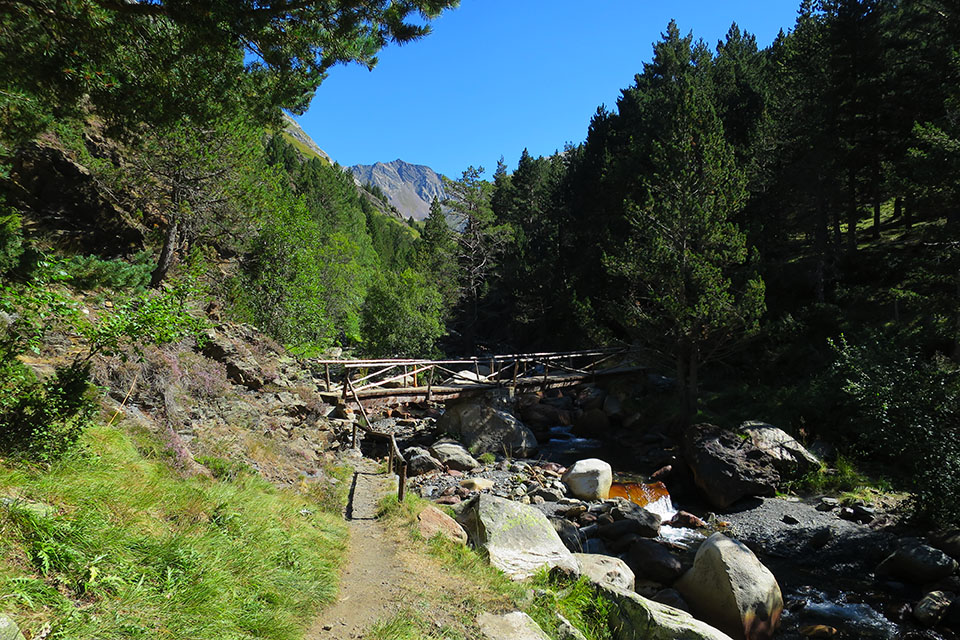
Puente sobre el Cinqueta d'Añes Cruces
El Montó (2.474m) y granjas de Biadós

Puntal de Barrau a la entrada del valle de la Ribereta
Al fondo los Picos de Eriste o Bagüeñola.
En el cruce de los ibones de Millás y Lenés.
Collado de la Forqueta y Forqueta.
Macizo del Aneto desde el collado de la Forqueta.
Collado de la Forqueta desde el valle de Llardaneta.
Desague del ibón y Forcau Baixo (2.786m)