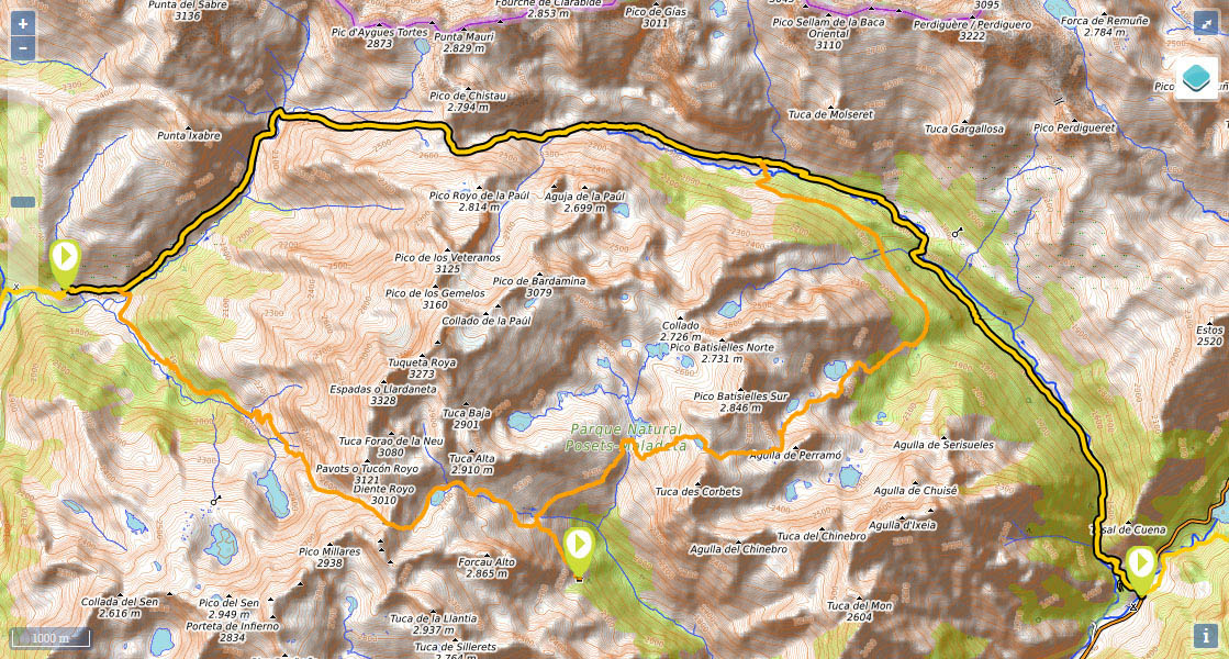
Stage 20: Refugio de Biadós - Puente de San Jaime

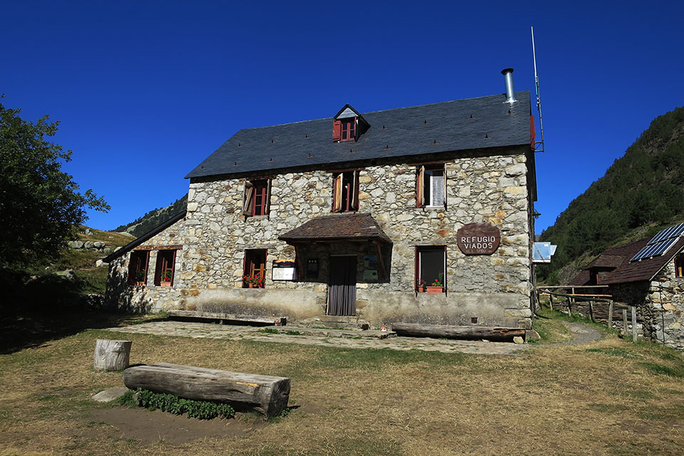
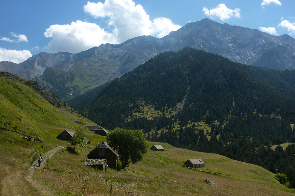
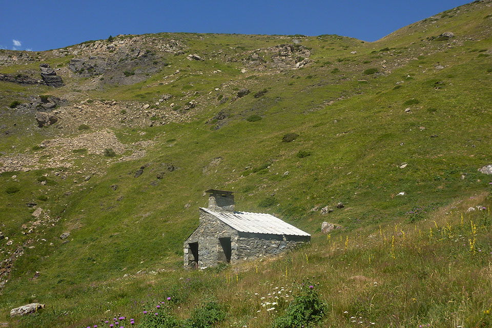
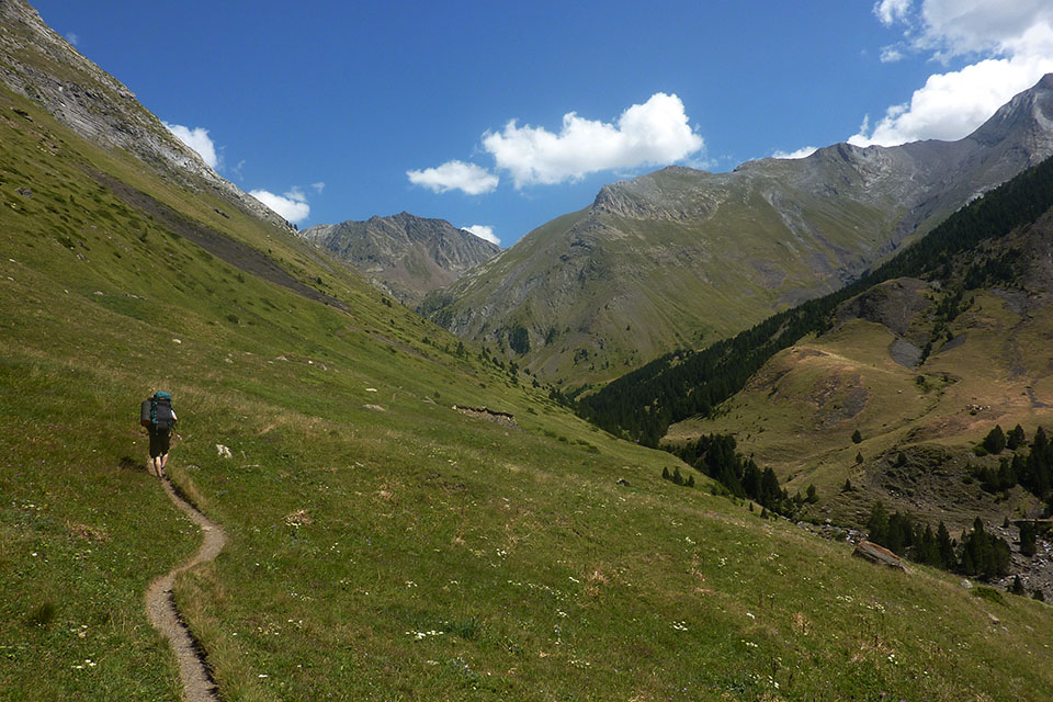
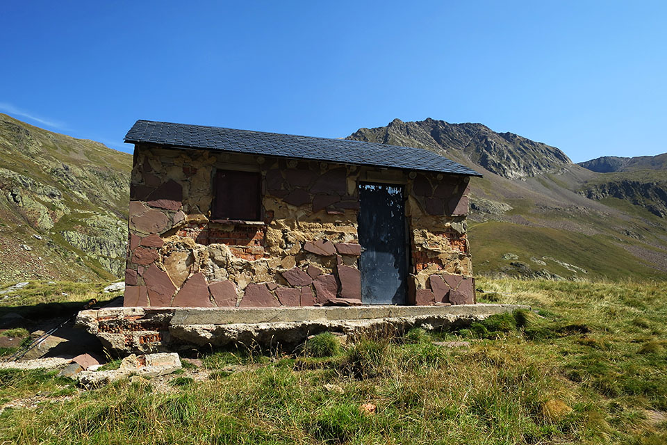
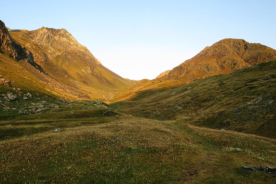
(0h0min;0km) Refugio de Biadós/Viadós (1760m). The path heads downhill for a few metres to a small car park marking the end of the track coming from San Juan de Plan, which has vehicle access. You follow a wide path, suitable for cars, that crosses the farms at Biados, formerly used as grain stores and stables. By the last one, the path takes a hairpin bend to the left and the path forks. Information panels indicate to the right the variant GR11.2, passing the Ángel Orús auberge (add one day), and ahead to the left, the one you take to the Estós auberge. The path rises up the valley alongside the river Zinqueta de Añes Cruces. After 35 minutes you pass the Puyarueso shelter (in rather precarious condition). The valley begins to narrow. The path heads up the left bank, crossing the odd stream, until a kind of collar where the valley opens up once more. Up to the left you can see Añes Cruces cabin (good condition) and below it, in a boggy field, another one in very poor condition.
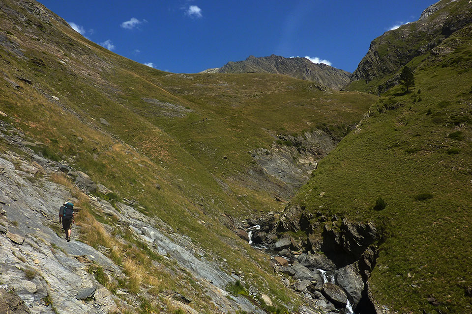
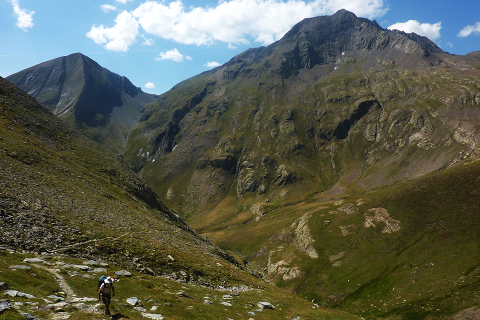
(1h30min; 3.2kms) Pleta de Añes Cruces (2080m). A spot where several torrents converge. Here the GR11 veers away from the Alta Ruta Pirenaica (ARP/HRP), which is unmarked, and heads towards the Puerto de Añes Cruces. The path crosses the streams and climbs to the right, in an easterly direction, the Chistau ravine. The way is clear. When we carried out this stage we encountered water almost at the top, at 2,500m.
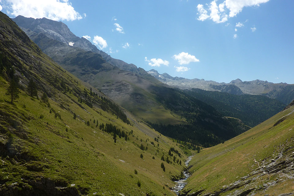
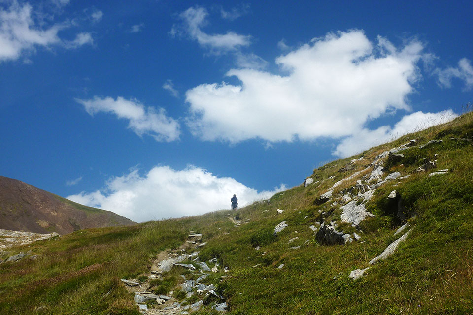
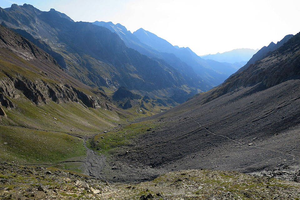
(3h00min; 6.5kms) Puerto de Chistau (2592). This is the highest point of the stage. The views are majestic: to the west lie Punta Ixabre (2,699m) and Bachimala (3,174m), while on the other side emerge the row of three-thousand-metre peaks starting with the Picos de Clarabide (3,006m) and ending with Perdiguero (3,222m), and on the far side stands the hulking mass of Maladeta. The path veers right after heading over the pass and descends down the right side. In 40 or 45 minutes you switch sides and you begin to see the first streams from which you can take water. The path follows a trouble-free course down to the...
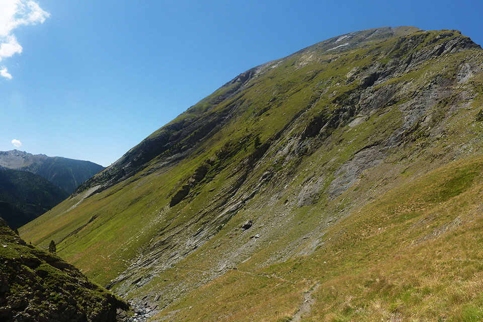
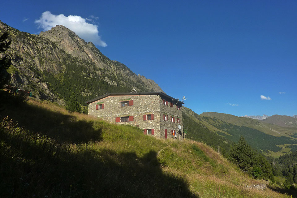
(5h00min; 11.1kms) Refugio de Estos (1890m). The path continues downhill past fields and pine forest until some 35 minutes later it comes out into a clearing where you cross the river.
There, unsuspectingly, sits the Cabaña del Turmo which many will recall thanks to the legendary song “20 de abril del 90” by Celtas Cortos. ¿Recuerdas aquella noche en la cabaña del Turmo, las risas que nos hacíamos antes todos juntos?(Remember that night in the Cabaña del Turmo? The laughs we all used to have together?) ... Apparently the song is not inspired by real events, but it must be the cabin they made reference to. Find out more.
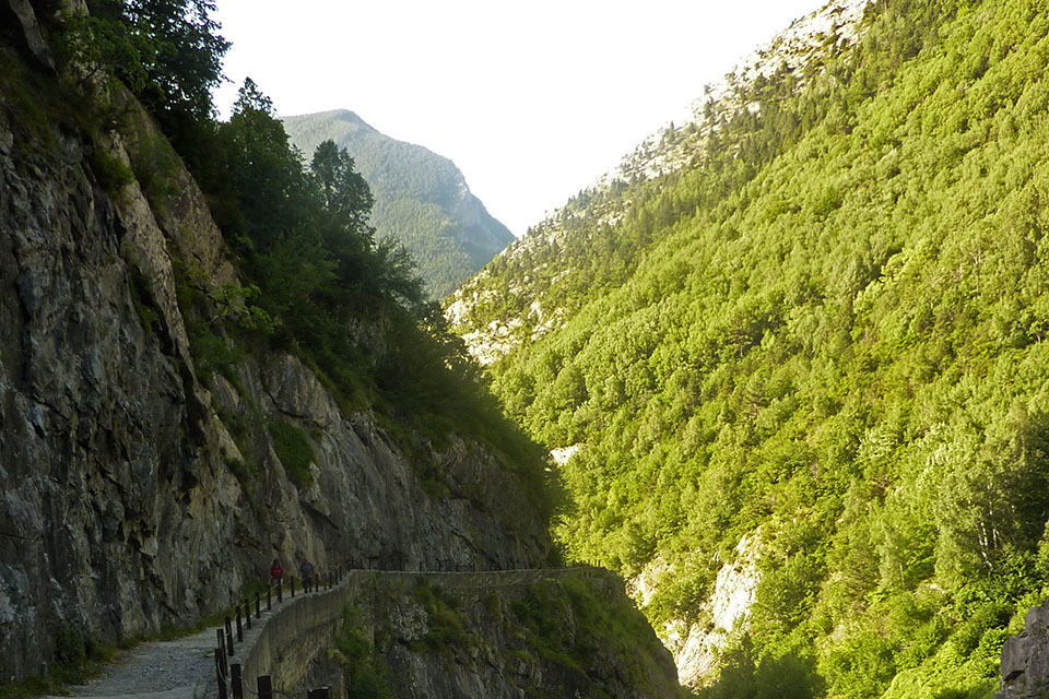
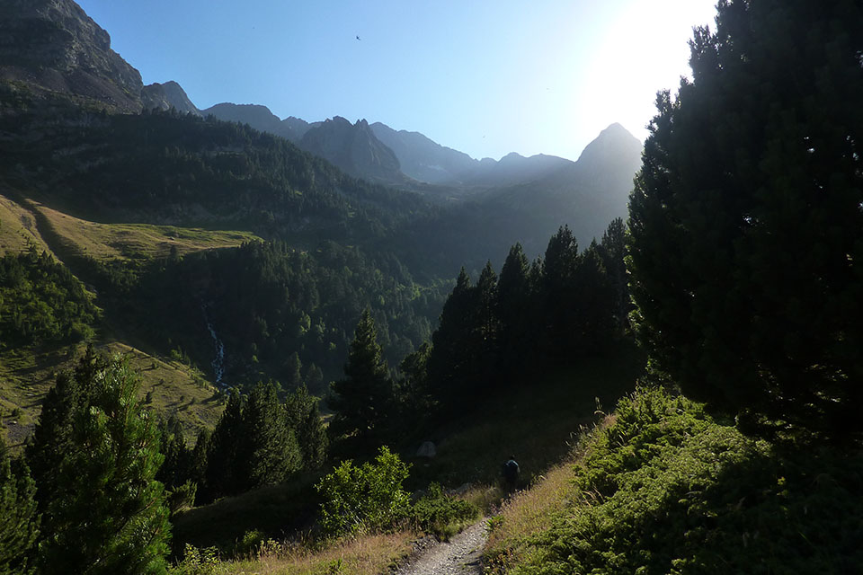
You pass a fence and now follow a track. Soon afterwards, you are advised to take a left turn (shortcut), indicated by a sign as Gorgas de Calantes. The path passes a series of panoramic viewpoints over something thatresembling cooking pots, carved out by the river whenever it finds a cascade. You rejoin the track. After 25 minutes you reach the Escarpinosa lakes, 5 minutes later you pass a drinking fountain and another 10 minutes later you reach the...
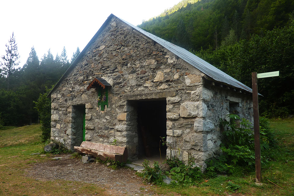
(6h30min; 17.2kms) Cabaña de Santa Ana (1495m). In good condition. You keep walking downhill. At the Palanca de Aiguacari the track crosses over to the other side. Later on, you leave the small reservoir of Estos below to the right, and soon afterwards, you come to the road between Benasque and Los Llanos del Hospital, where the stage ends.
(7h15min; 20.1kms) Puente nuevo de San Jaime (1254).
At the beginning, Refugio de Biadós/Viadós (/).
During the stage: Puyarueso free shelter (rather precarious), Añes Cruces free shelter (good condition) Refugio de Estós (/) and Cabaña de Santa Ana (free, good condition, 2 rooms, 20 places).
At the end of the stage Camping Aneto, Camping Ixeia and Hostal Parque Natural.
In Benasque, 3km away from the route, you will find a choice of accommodation. We recommend Hotel San Antón (Tel: +34 974 55 16 11; info@hotelsananton.es) and Hotel Aragüells (Tel: +34 974 55 16 19; info@hotelaraguells.com), both with restaurant.
Other services:Both Camping Ixeia and Camping Aneto have a supermarket where you can get basic provisions. In Benasque you can find all kinds of amenities: outdoor pursuits stores, a supermarket, ATM, bars and restaurants, etc.
Maps:
Alpina:
Posets-Perdiguero
(Scale: 1/25,000)
Parque Natural Posets Maladeta
(Scale: 1/25,000)
Valle de Benasque. Aneto, Maladeta, Posets, Perdiguero
(Scale: 1/40,000)
Prames:
Posets-Llardana
(Scale: 1/25,000)
Posets-Llardana
(Scale: 1/40,000)

Detrás el macizo del Posets
Por el valle del río Zinqueta de Añes Cruces
El valle se encajona antes de la Pleta Añes Cruces
Vista atrás, hacia el Posets.
Valle de Añes Cruczes y Tuca de Ixabre (2.705m)
Remontando el Barranco de Chistau con la Tuca de Ixabre y el Bachimala detrás.
Llegando al Puerto de Chistau.
Por encima, cordal de tresmiles entre los Picos de Clarabide y el Perdiguero.
Bajando de Estós
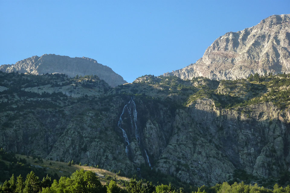
Imagen tomada desde la Plleta d'el Tormo